Plizio Visual Lab
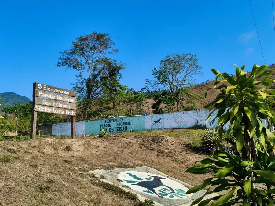
La Tupi National Park
Weather…
Water temperature…
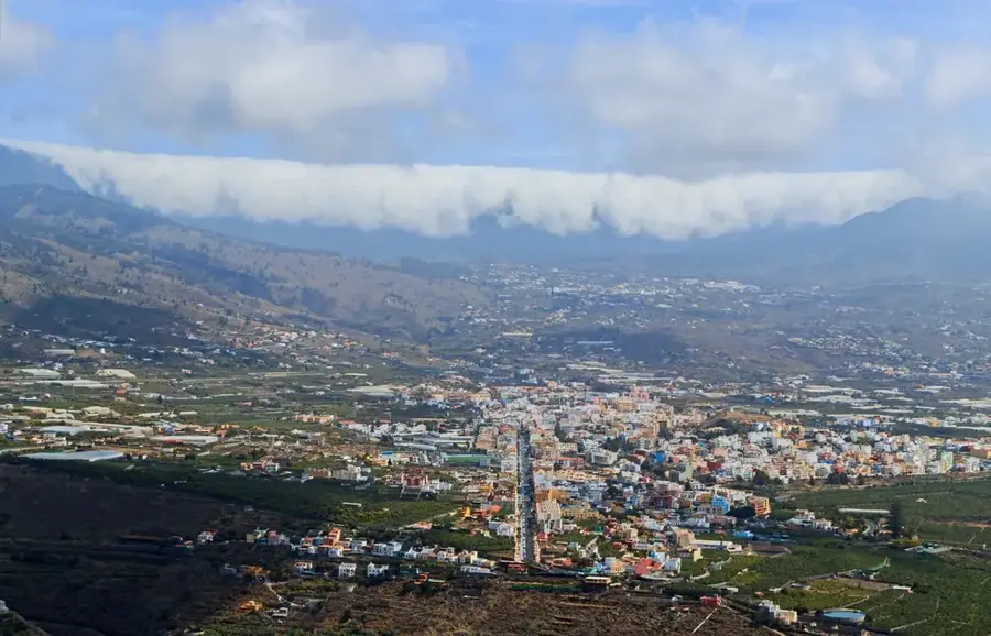
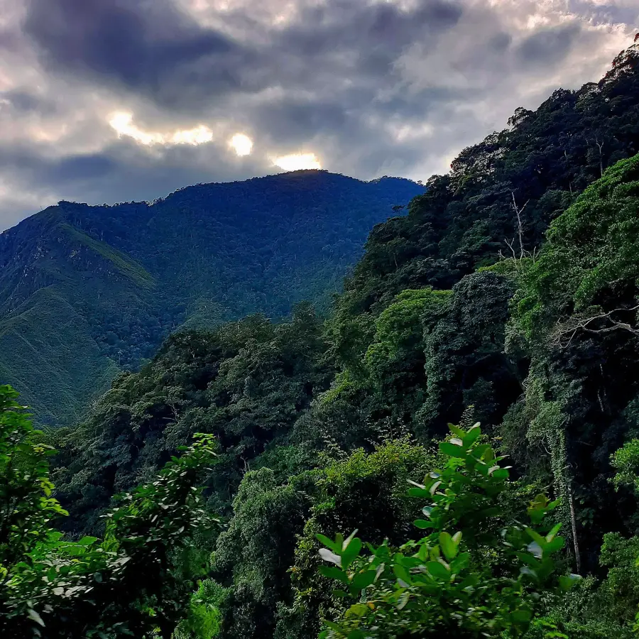
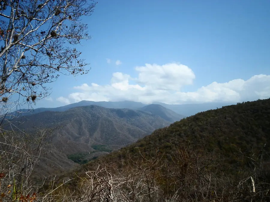
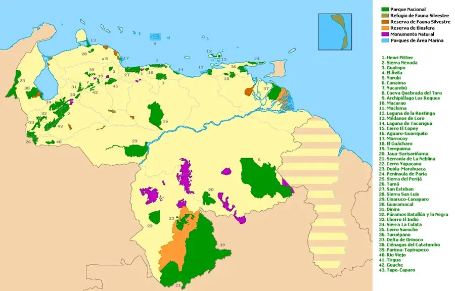
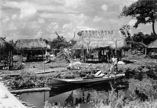
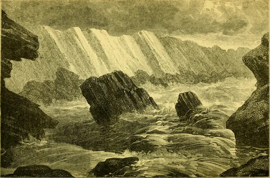
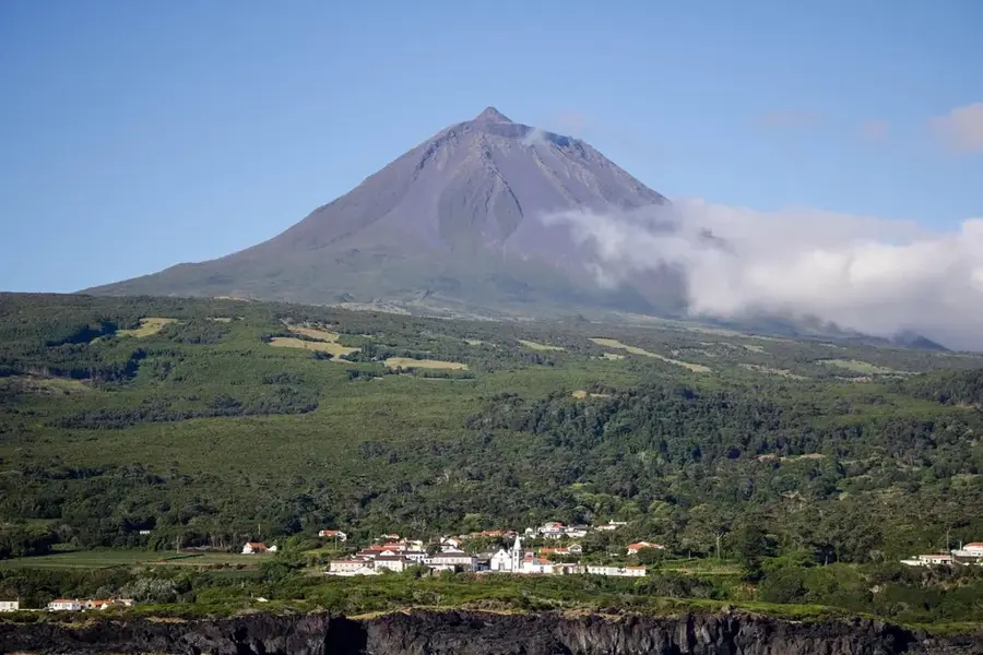
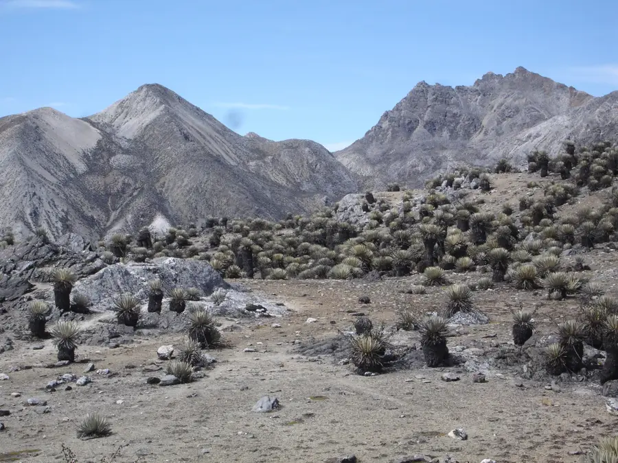
The Sierra de La Culata National Park, often associated with areas like La Tupia, was established on December 7, 1989, and is located in the Venezuelan Andes within the states of Mérida and Trujillo. It covers an area of approximately 200.000 hectares and protects a spectacular high-mountain landscape with numerous peaks over 4,000 meters. The vegetation is defined by expansive páramo areas that host one of the world's richest populations of frailejones. Numerous glacial lakes and lagoons feed important rivers that supply water to the surrounding regions. Geologically, the massif consists mainly of metamorphic rocks and shows traces of past glaciations. The park is a vital refuge for the Andean condor and the spectacled bear. Hikers value the challenging routes to the peaks and the pristine nature of the high valleys. Historically, the area was used by indigenous communities such as the Mucuchíes, who were adapted to the harsh conditions of the high Andes. Today, the park plays a central role in conservation and the maintenance of South America's sensitive alpine ecosystems.
Best time to visit & climate
The most pleasant time to visit is Jan, Feb, Dec.
| Jan | Feb | Mar | Apr | May | Jun | Jul | Aug | Sep | Oct | Nov | Dec | |
|---|---|---|---|---|---|---|---|---|---|---|---|---|
| Avg °C | 29 | 31 | 32 | 31 | 29 | 28 | 27 | 27 | 27 | 27 | 28 | 28 |
| Rain mm | 8 | 5 | 14 | 76 | 151 | 167 | 187 | 163 | 122 | 110 | 64 | 26 |
📋 Practical info
Geography
Facts
- The park was officially established on December 7, 1989, under Decree No. 640.
- The total area is approximately 200,000 hectares in the high Andes.
- The highest point is Pico Piedras Blancas, reaching 4,762 meters in height.
- The park protects over 200 lagoons of glacial origin.
- Average temperatures in the high elevations range from -2 °C to 12 °C.
- There are more than 50 different species of frailejones (Espeletia) in the park.
Explore nearby
Notable places around
Route planner — Car & Motorhome
Where do you start? We build the route here, with stops and country notes along the way.
© OpenStreetMap contributors · OpenRouteService
Sights nearby
Frequently asked questions
What is the goal of this national park?
Can you hike there?
Is the park suitable for children?
Are there visitor facilities?
When is the best time to visit?
La Tupi National Park: where is it located?
La Tupi National Park: when is the best time to visit?
La Tupi National Park: why is it worth visiting?

Nature

More places