Plizio Visual Lab
Pico Guirigay
Weather…
Water temperature…
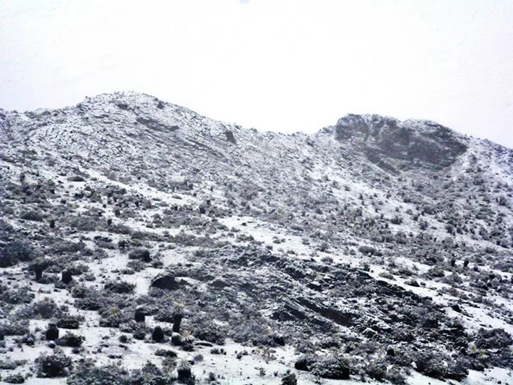
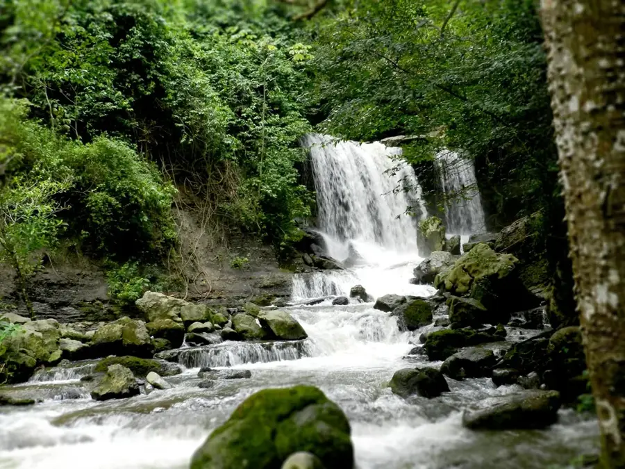
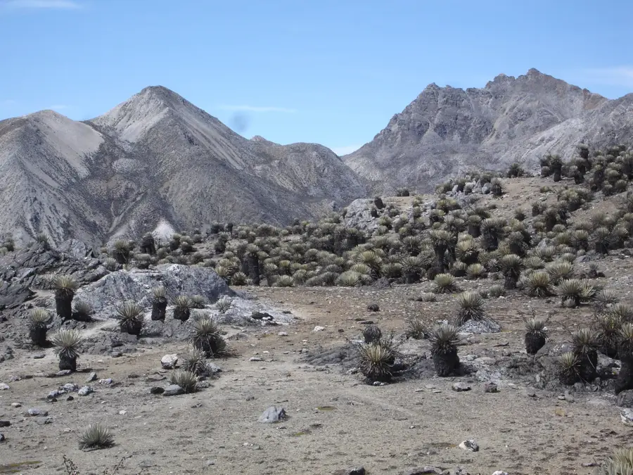
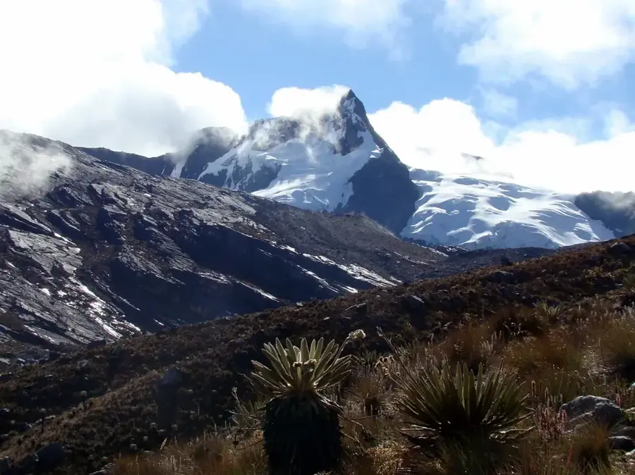
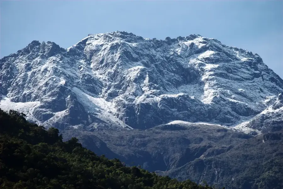
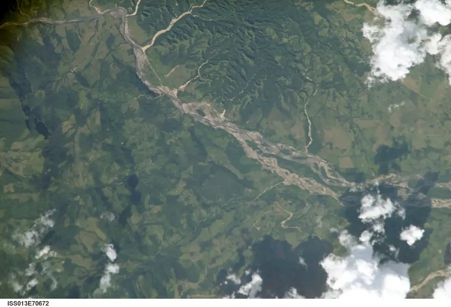
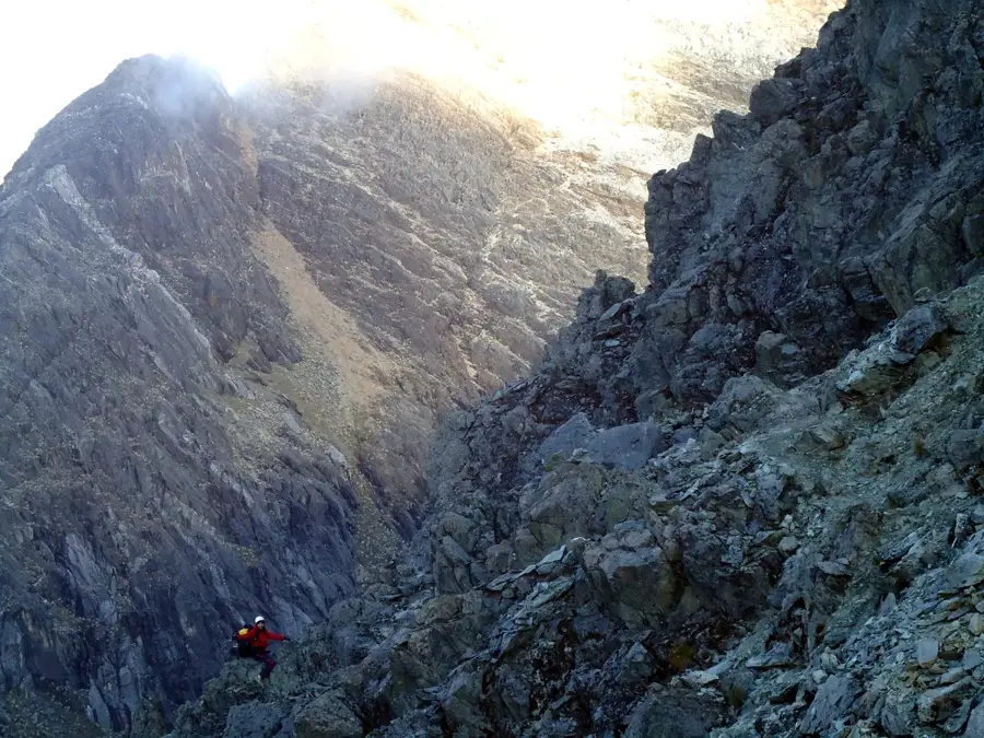
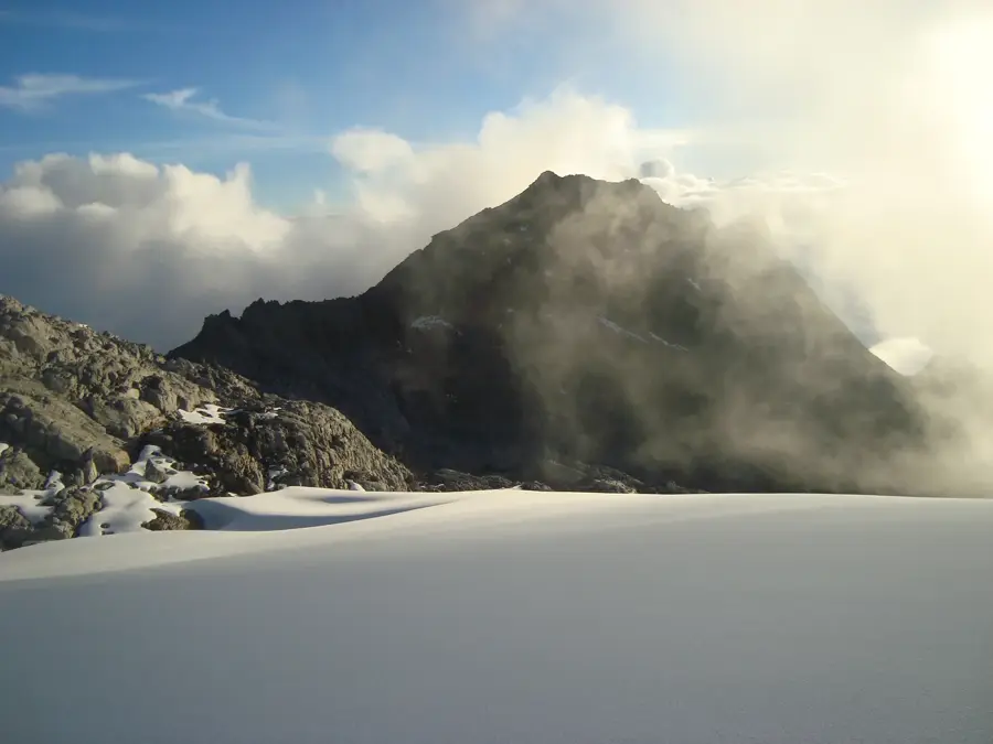
Pico Guirigay is one of the highest peaks in Trujillo State, standing as a significant elevation within the Cordillera de Mérida at approximately 3,870 meters. Located on the border between the states of Trujillo and Mérida, it is part of an extensive paramo system. Geologically, the mountain is characterized by silicate rocks shaped by frost weathering and erosion during the last glacial periods. The relief of Guirigay is somewhat less rugged than the central Sierra Nevada but still features steep slopes and deep valleys typical of the Venezuelan high Andes. The summit is frequently shrouded in clouds, sustaining cloud forests at lower elevations and humid paramo vegetation on the plateau. The region holds great ecological importance as it functions as a natural water tower for numerous streams that irrigate the agricultural lands in the valleys of Trujillo. Historically, the mountain was revered as a sacred site by indigenous groups, and today it remains a destination for trekkers seeking the solitude of the northern Andes.
- Location: Venezuela
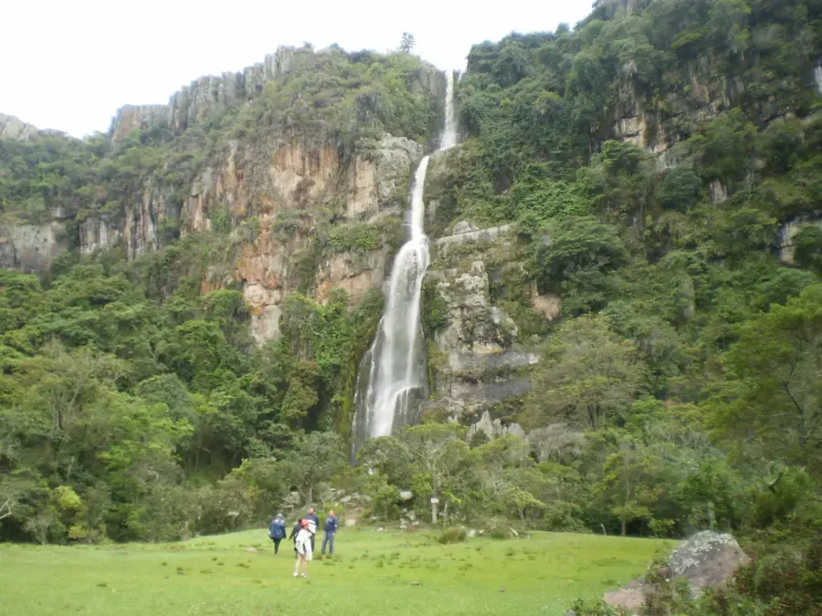
- Top sights: Alto del Totumo · Pico Los Patos · Cerro Cruz Chiquita
Best time to visit & climate
The most pleasant time to visit is Jan, Feb, Dec.
| Jan | Feb | Mar | Apr | May | Jun | Jul | Aug | Sep | Oct | Nov | Dec | |
|---|---|---|---|---|---|---|---|---|---|---|---|---|
| Avg °C | 21 | 21 | 22 | 22 | 22 | 22 | 22 | 23 | 23 | 22 | 21 | 21 |
| Rain mm | 33 | 37 | 72 | 134 | 141 | 106 | 100 | 108 | 131 | 153 | 129 | 70 |
📋 Practical info
Geography
Facts
- Elevation is approximately 3,870 meters.
- Located on the border of Trujillo and Mérida states.
- Part of the Cordillera de Mérida.
- Key water source for the Motatán river system.
- Habitat for rare species of the Espeletia genus.
- Mean annual temperature is below 10°C.
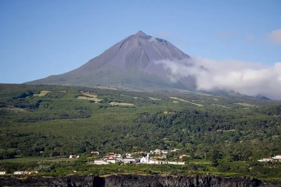
Explore nearby
Notable places around
Route planner — Car & Motorhome
Where do you start? We build the route here, with stops and country notes along the way.
© OpenStreetMap contributors · OpenRouteService
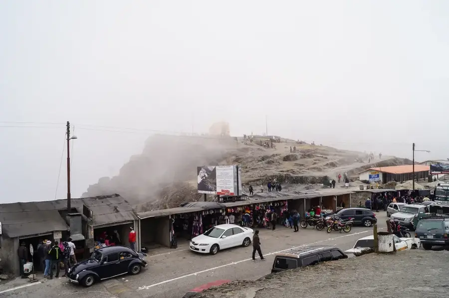
Sights in the town Pico Guirigay (4)
Sights nearby
Frequently asked questions
Where is Pico Guirigay?
Can you climb the summit?
What is the best gear?
When is the best time to visit?
Are there guides there?
Pico Guirigay: where is it located?
Pico Guirigay: what is there to see?
Pico Guirigay: when is the best time to visit?
Pico Guirigay: why is it worth visiting?

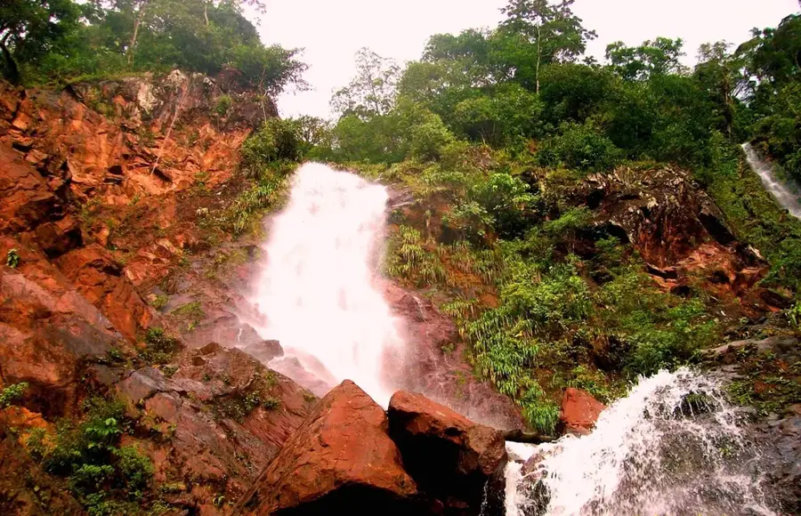
Nature
More places