Plizio Visual Lab
Cueva de la Quebrada del Toro National Park
Weather…
Water temperature…
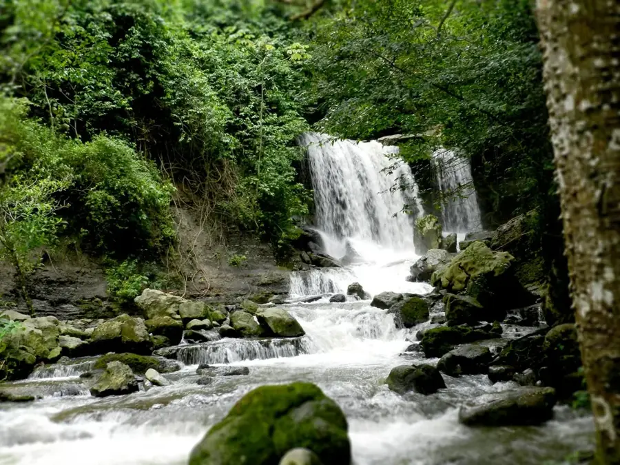
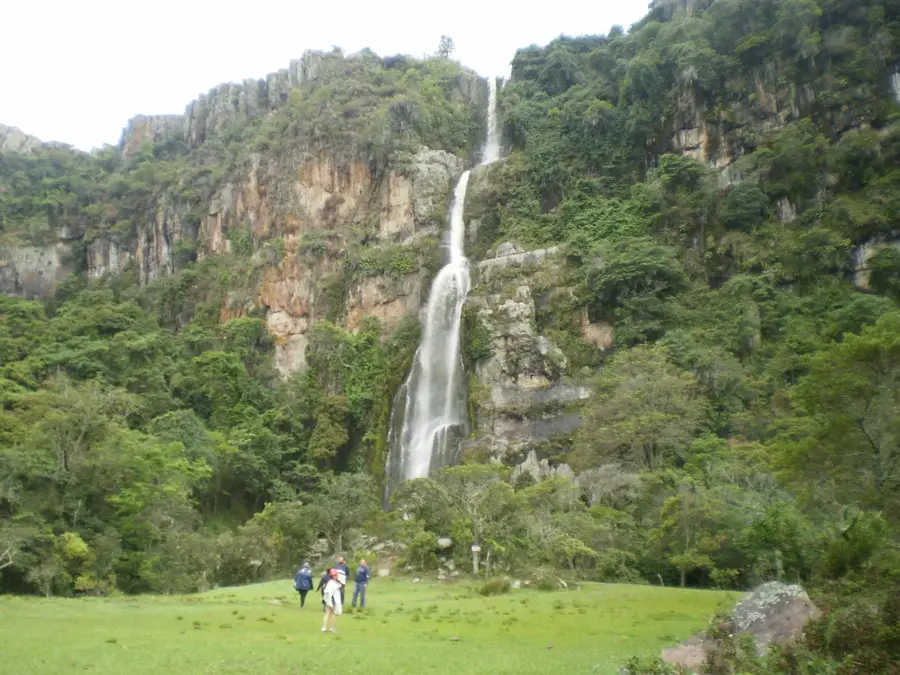
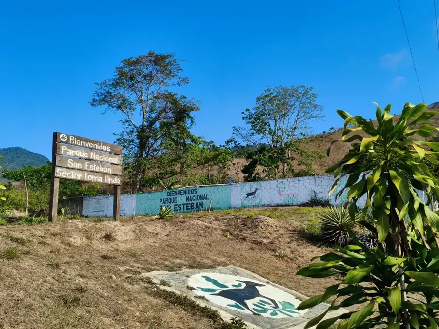
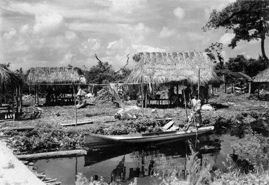
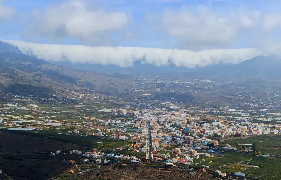
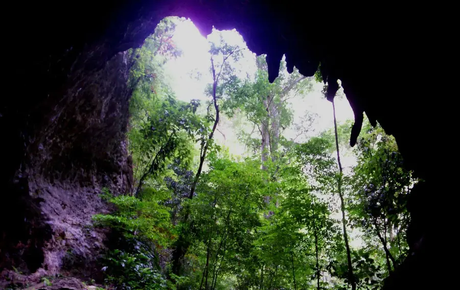
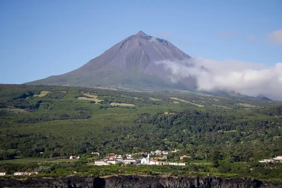
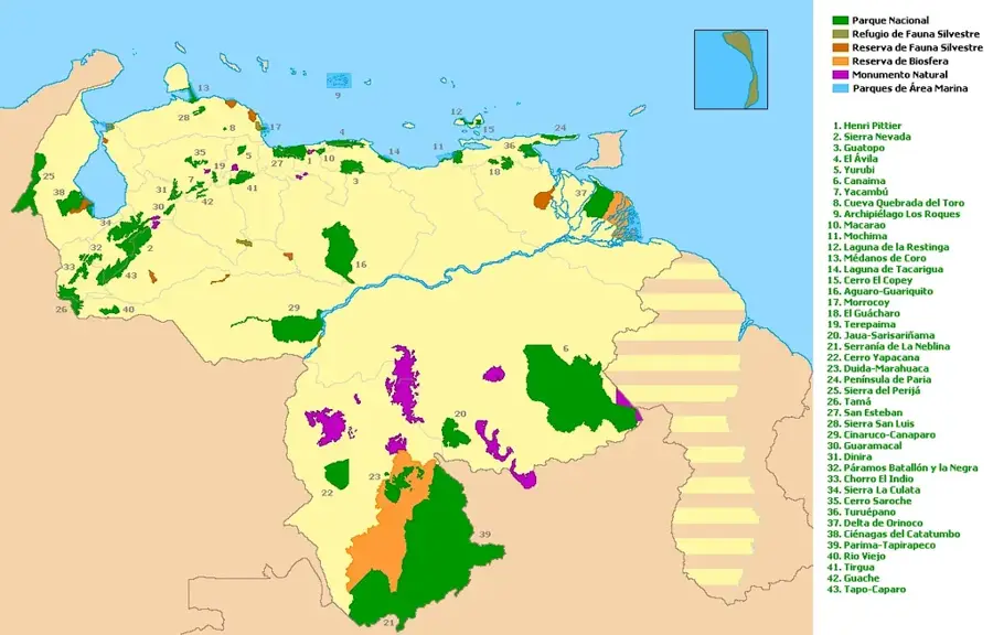
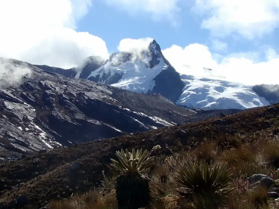
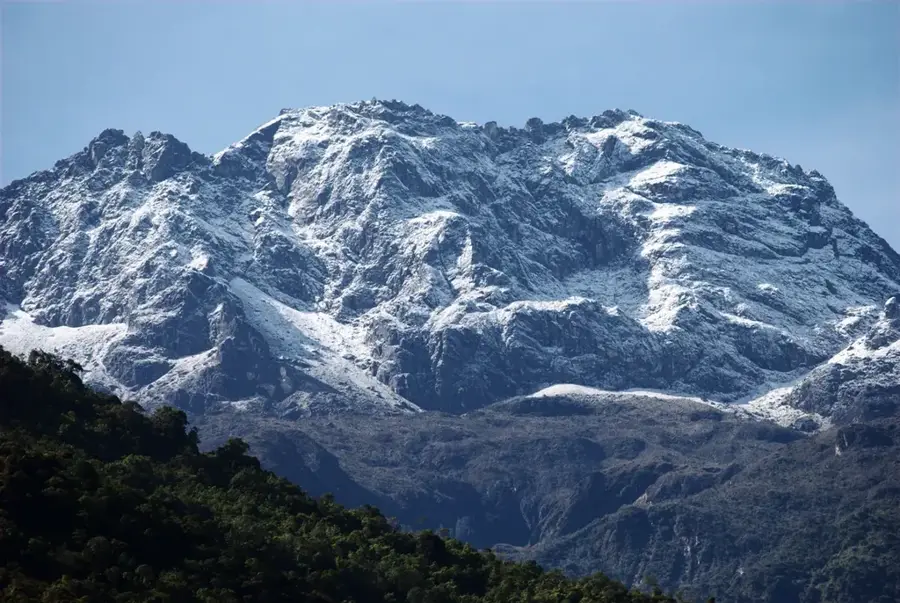
Cueva de la Quebrada del Toro National Park was established on May 21, 1969, and is located in the Falcón State of northwestern Venezuela. Spanning approximately 4,885 hectares, it protects a significant karst region and one of the country's most important cave systems. The heart of the park is the namesake cave, which is traversed by an underground river and features spectacular formations of stalactites and stalagmites. The landscape above ground is characterized by dense mountain forests and a rugged topography. Climatically, the area is warm and humid, favoring lush vegetation. Historically, the cave was a site of significance for the region's indigenous communities. Faunally, the park provides habitat for guacharos (oilbirds), bats, and various large cats such as jaguars and pumas. The park plays a vital role in protecting local water sources and is a popular destination for speleologists and nature lovers wishing to explore the geological uniqueness of the Sierra de Falcón.
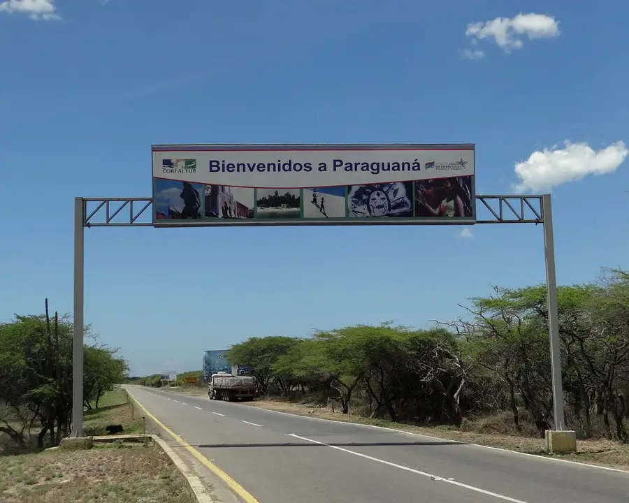
- Location: Venezuela
- Top sights: Cerro Chubiscal · Cerro La Piedra · Cerro El Chuco
Best time to visit & climate
The most pleasant time to visit is Jan–Mar.
| Jan | Feb | Mar | Apr | May | Jun | Jul | Aug | Sep | Oct | Nov | Dec | |
|---|---|---|---|---|---|---|---|---|---|---|---|---|
| Avg °C | 26 | 26 | 27 | 27 | 28 | 27 | 27 | 28 | 28 | 27 | 27 | 26 |
| Rain mm | 27 | 15 | 13 | 31 | 50 | 53 | 61 | 65 | 64 | 92 | 86 | 47 |
📋 Practical info
Geography
Facts
- The park was established on May 21, 1969, under Decree No. 56.
- It covers an area of 4,885 hectares within the Sierra de Falcón.
- The underground river in the cave is navigable for about 2 kilometers.
- The cave has a maximum height of approximately 40 meters in some areas.
- The park is home to a large colony of oilbirds (guacharos).
- The highest point in the park is at an elevation of about 1,200 meters.
Explore nearby
Notable places around
Route planner — Car & Motorhome
Where do you start? We build the route here, with stops and country notes along the way.
© OpenStreetMap contributors · OpenRouteService
Sights in the town Cueva de la Quebrada del Toro National Park (3)
Sights nearby
Frequently asked questions
How demanding is the cave hike?
When is the best time to visit?
Are there restroom facilities in the park?
Is photography allowed inside the cave?
Do I need to book a guide?
Cueva de la Quebrada del Toro National Park: where is it located?
Cueva de la Quebrada del Toro National Park: what is there to see?
Cueva de la Quebrada del Toro National Park: when is the best time to visit?
Cueva de la Quebrada del Toro National Park: why is it worth visiting?

Nature
More places