Plizio Visual Lab
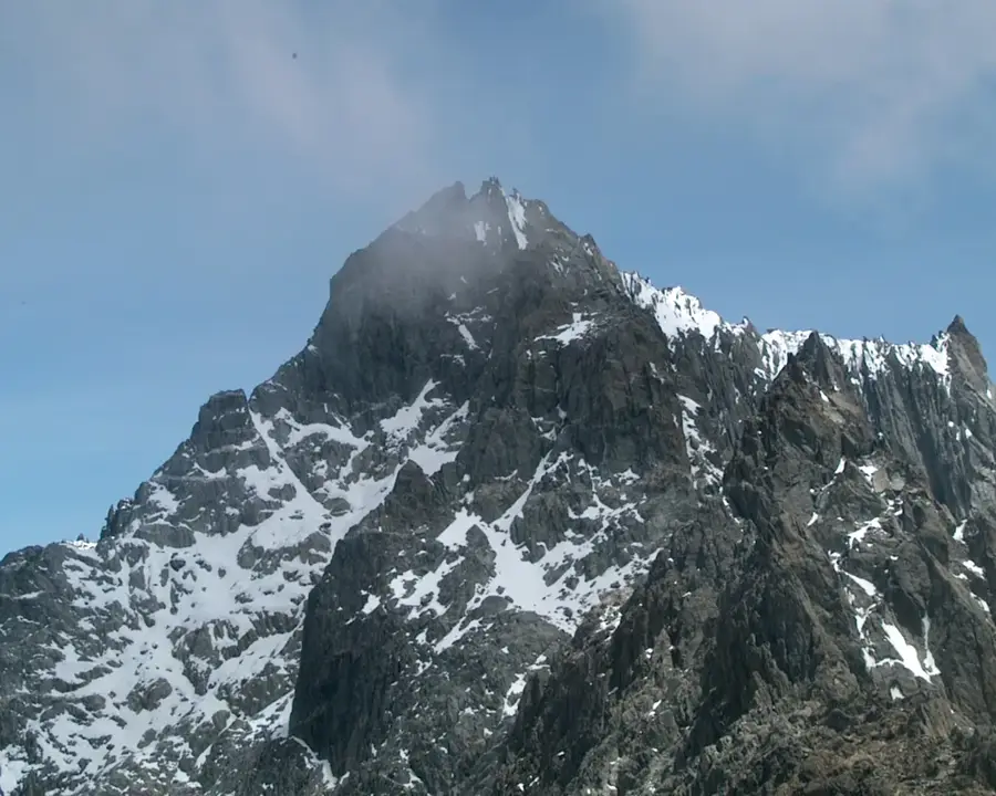
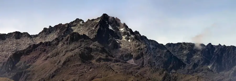
Pico Bolívar
Weather…
Water temperature…
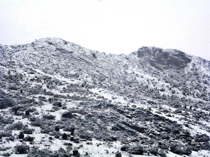
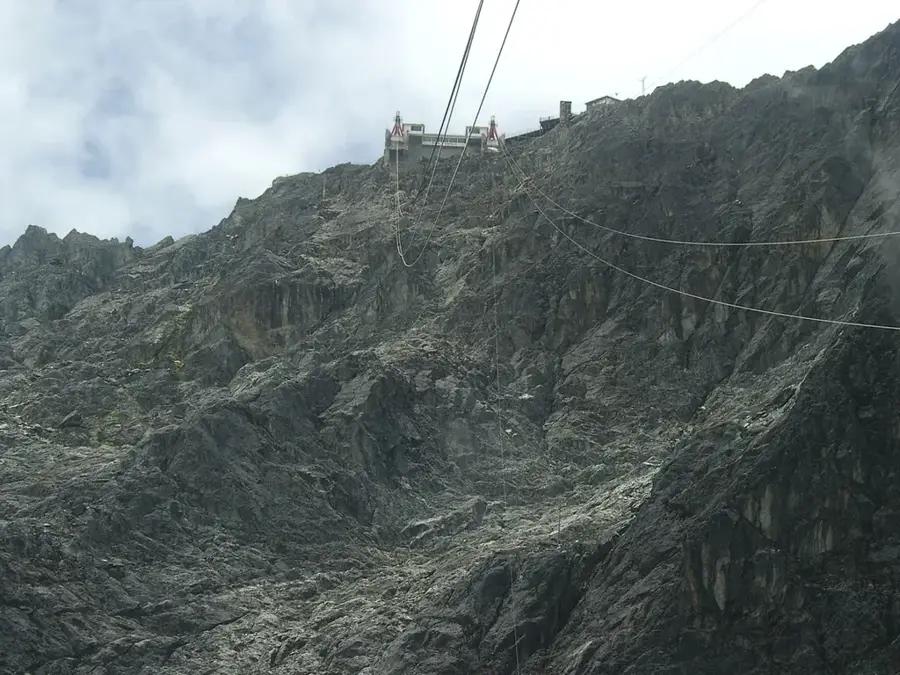
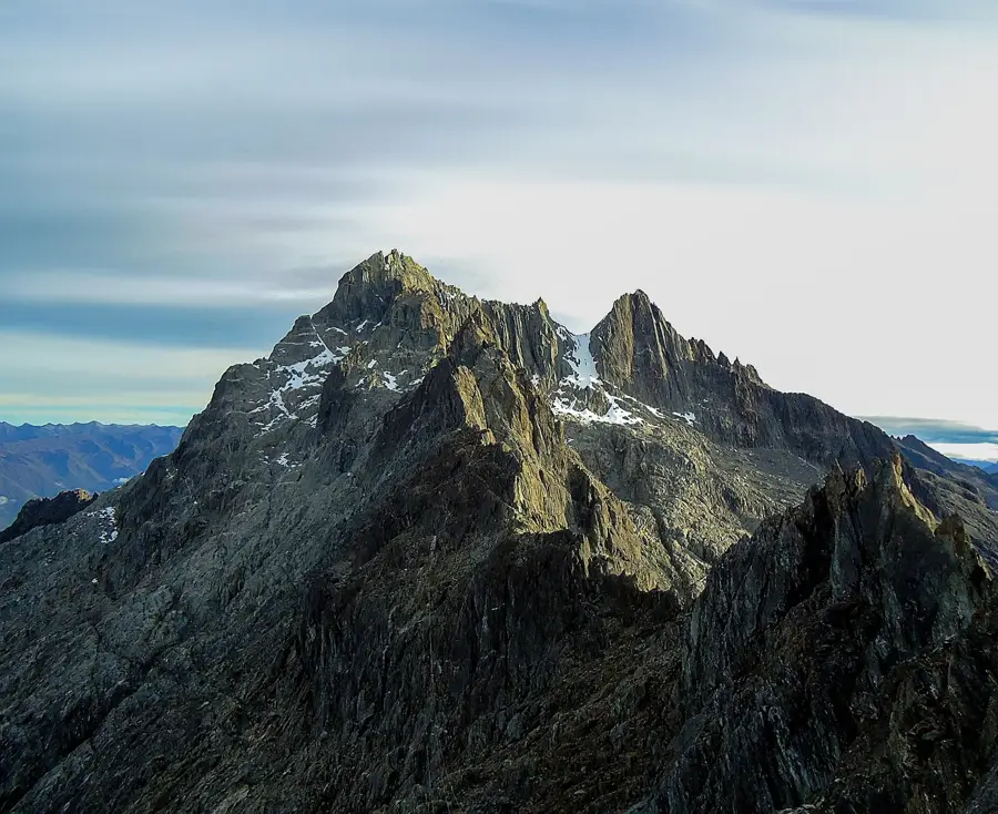
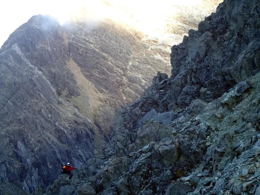
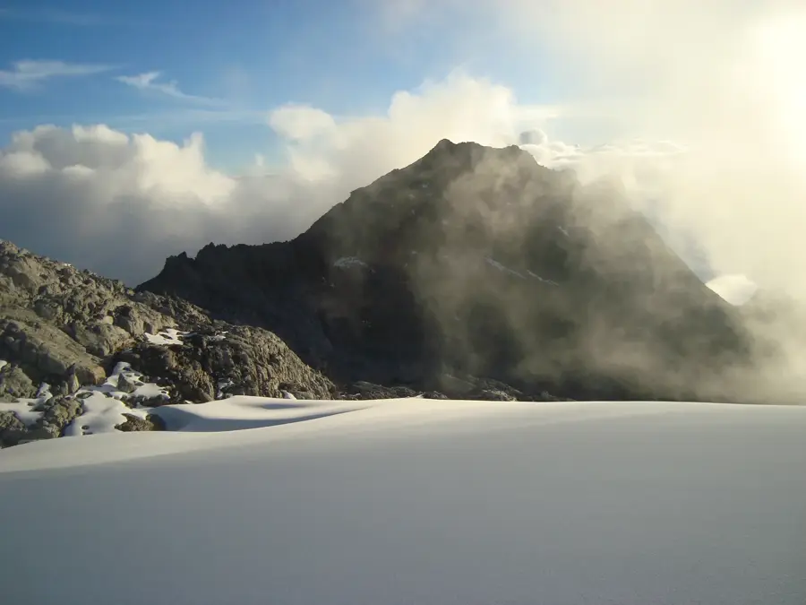
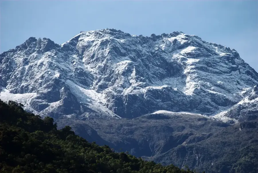
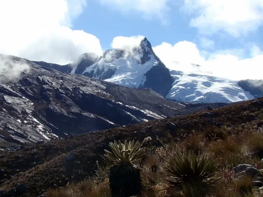
Pico Bolívar is the highest mountain in Venezuela, standing at an elevation of 4.978 meters, and is located in the Sierra Nevada de Mérida within the Venezuelan Andes. It was named after the independence hero Simón Bolívar and is an iconic landmark of the Mérida region. The summit is permanently covered by glaciers, though these have shrunk dramatically in recent decades due to climate change. The first documented ascent took place on January 5, 1935, by Franz Weiss and Enrique Bourgoin. The mountain is part of the Sierra Nevada National Park, which showcases an impressive vertical zonation of vegetation, from mountain rainforests to páramo and alpine tundra. One of the highest and longest cable cars in the world, the Teleférico de Mérida, takes visitors to the nearby Pico Espejo, offering a clear view of Pico Bolívar. Reaching the actual summit requires technical climbing experience and proper acclimatization to the high altitude.
- Location: Venezuela
- Top sights: Pico Bolívar · Pico La Concha
Best time to visit & climate
The most pleasant time to visit is Jan–Mar.
| Jan | Feb | Mar | Apr | May | Jun | Jul | Aug | Sep | Oct | Nov | Dec | |
|---|---|---|---|---|---|---|---|---|---|---|---|---|
| Avg °C | 17 | 18 | 18 | 18 | 18 | 17 | 17 | 17 | 18 | 17 | 17 | 17 |
| Rain mm | 30 | 35 | 72 | 143 | 163 | 136 | 119 | 115 | 135 | 156 | 133 | 68 |
📋 Practical info
Geography
Facts
- The official elevation was measured in 2002 as 4,978.40 meters.
- The mountain was originally called La Columna before being renamed in 1925.
- The first successful ascent was completed on January 5, 1935.
- The main glacier on Pico Bolívar is known as Glaciar de los Timoncitos.
- There is a bust of Simón Bolívar located directly at the mountain's summit.
- The Mérida cable car reaches an altitude of 4,765 meters at Pico Espejo.
Explore nearby
Notable places around
Route planner — Car & Motorhome
Where do you start? We build the route here, with stops and country notes along the way.
© OpenStreetMap contributors · OpenRouteService
Sights in the town Pico Bolívar (2)
Sights nearby
Frequently asked questions
What is Pico Bonpland?
Is it easy to climb?
Do I need a visa for this region?
What is the equipment like for this altitude?
Where do people usually start?
Pico Bolívar: where is it located?
Pico Bolívar: what is there to see?
Pico Bolívar: when is the best time to visit?
Pico Bolívar: why is it worth visiting?

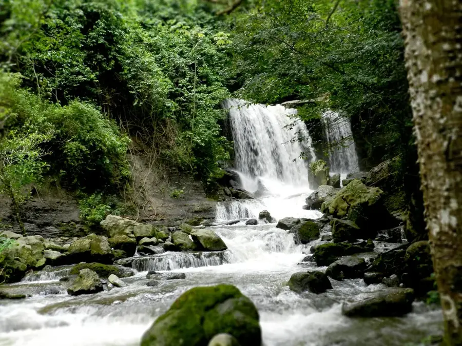
Nature
More places