Plizio Visual Lab
Pico Bonpland
Weather…
Water temperature…
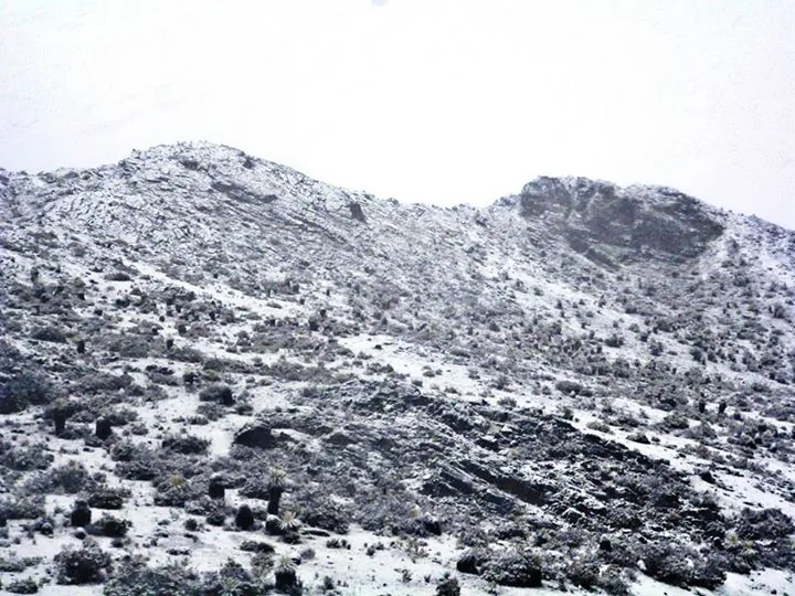
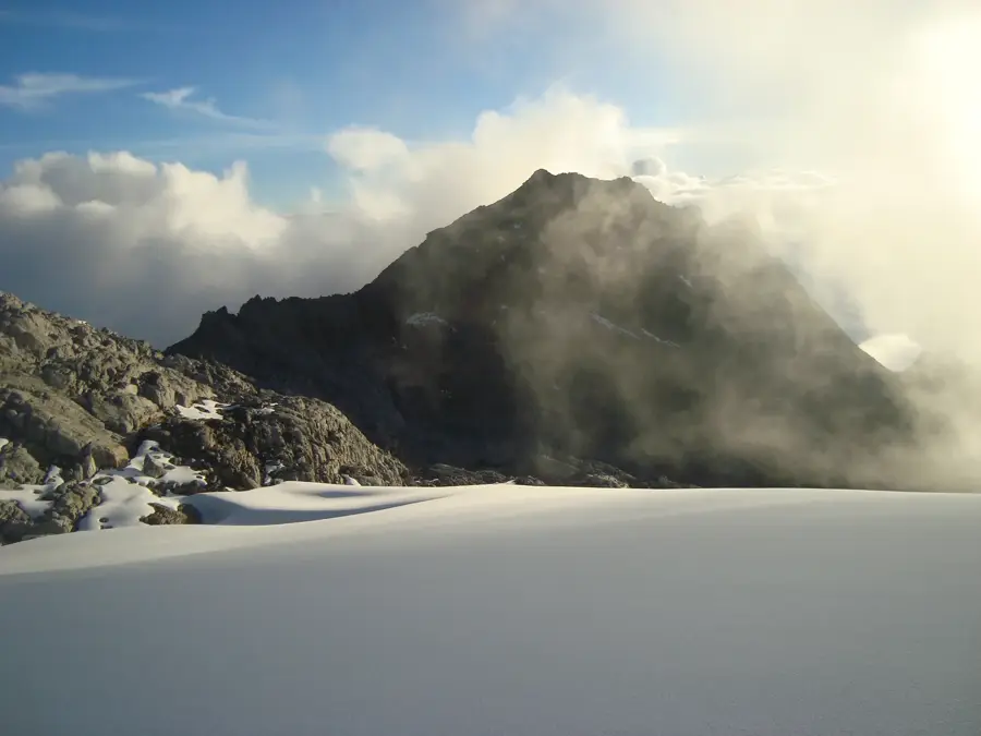
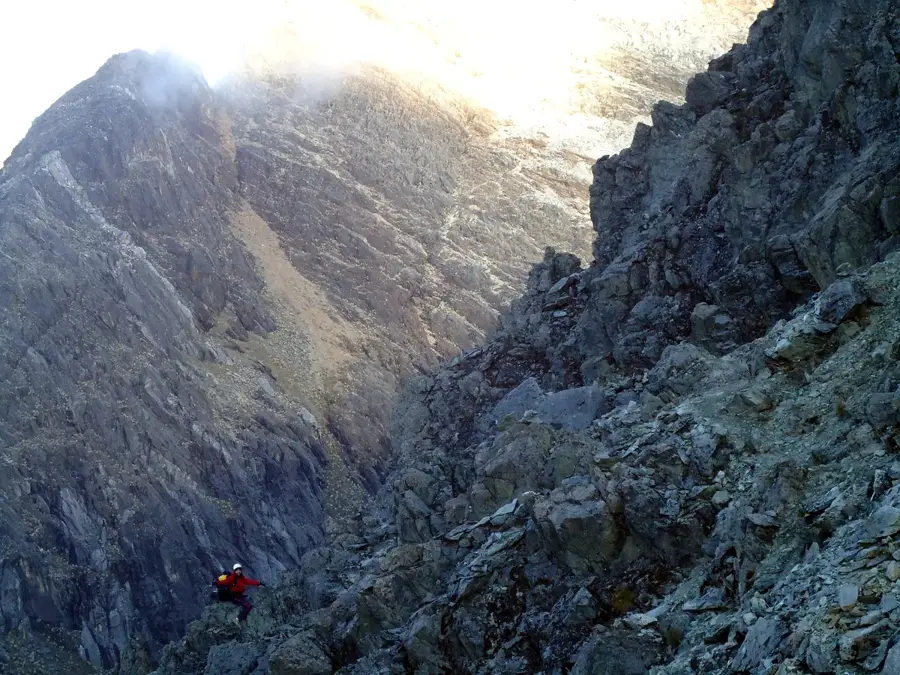
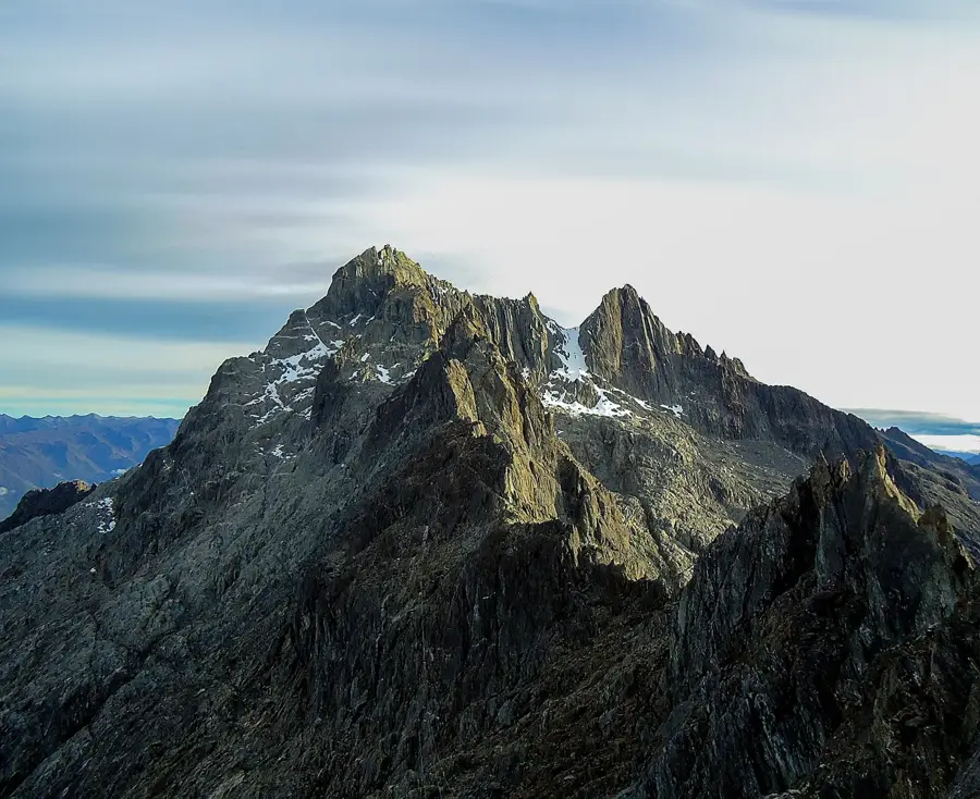
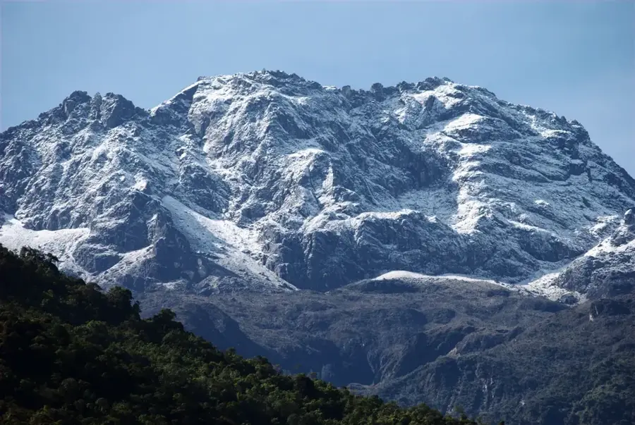
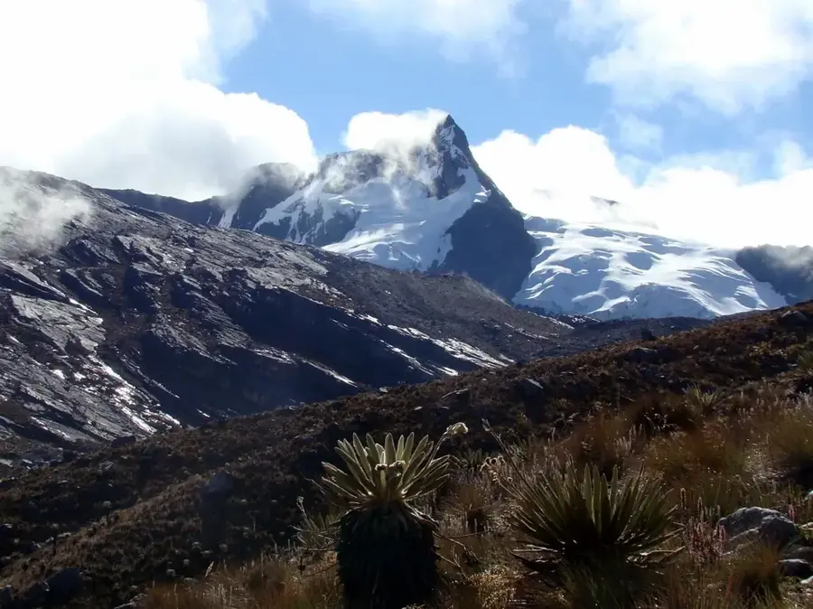
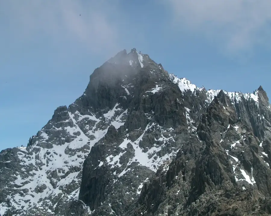
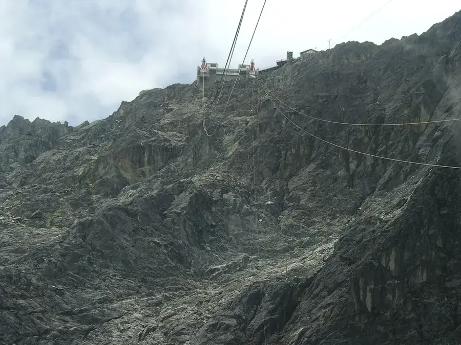
Pico Bonpland is the fourth highest mountain in Venezuela, rising to an elevation of 4,880 meters within the Sierra Nevada de Mérida. The peak is named after Aimé Bonpland, the French botanist who accompanied Alexander von Humboldt during his scientific expeditions in South America. Together with its neighbor, Pico Humboldt, it forms a prominent twin massif separated by the La Corona saddle. Geologically, the mountain is composed of Precambrian gneiss, reflecting the ancient tectonic history of the northern Andes. Historically, Pico Bonpland was covered by significant glaciers, such as La Coromoto, but these have almost entirely vanished due to climate change. The climb to the summit is technically demanding and traverses through high-altitude paramo ecosystems characterized by frailejones plants. It stands as a testament to the 19th-century scientific efforts to document the Andean landscape.
- Location: Venezuela
- Top sights: Pico Bonpland · Pico La Concha
Best time to visit & climate
The most pleasant time to visit is Jan–Mar.
| Jan | Feb | Mar | Apr | May | Jun | Jul | Aug | Sep | Oct | Nov | Dec | |
|---|---|---|---|---|---|---|---|---|---|---|---|---|
| Avg °C | 17 | 18 | 18 | 18 | 18 | 17 | 17 | 17 | 18 | 17 | 17 | 17 |
| Rain mm | 30 | 35 | 72 | 143 | 163 | 136 | 119 | 115 | 135 | 156 | 133 | 68 |
📋 Practical info
Geography
Facts
- Elevation of 4,880 meters above sea level
- Part of the Sierra Nevada de Mérida range
- Named after the French botanist Aimé Bonpland
- Forms the La Corona massif with Pico Humboldt
- Composed primarily of Precambrian gneiss
- Home to the now-vanished La Coromoto glacier
Explore nearby
Notable places around
Route planner — Car & Motorhome
Where do you start? We build the route here, with stops and country notes along the way.
© OpenStreetMap contributors · OpenRouteService
Sights in the town Pico Bonpland (2)
Sights nearby
Frequently asked questions
How difficult is climbing Pico Bonpland?
What equipment is necessary?
Do you need a guide?
What is the best season?
Is the climb dangerous?
Pico Bonpland: where is it located?
Pico Bonpland: what is there to see?
Pico Bonpland: when is the best time to visit?
Pico Bonpland: why is it worth visiting?

Nature
More places