Plizio Visual Lab
Pico Muertos

Weather…
Water temperature…
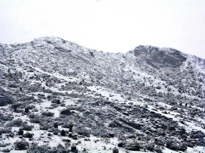
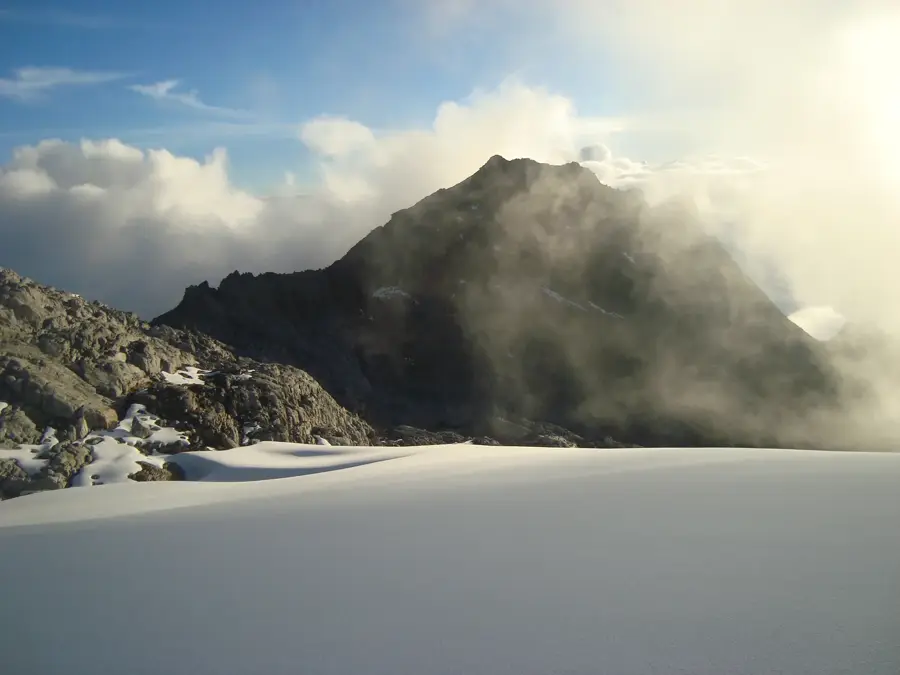
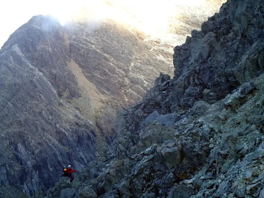
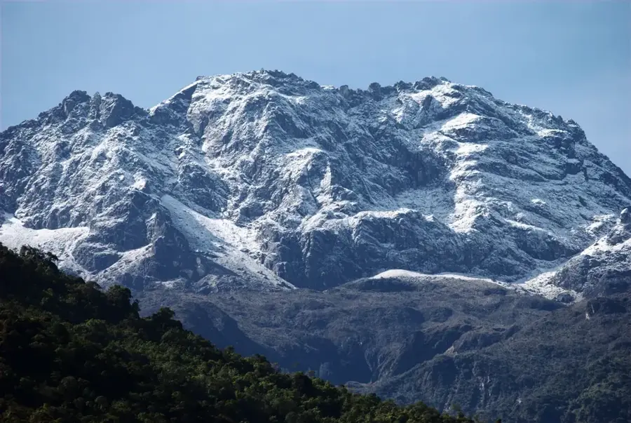
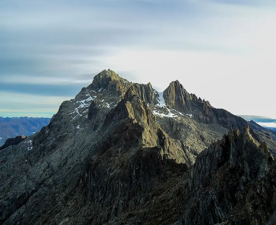
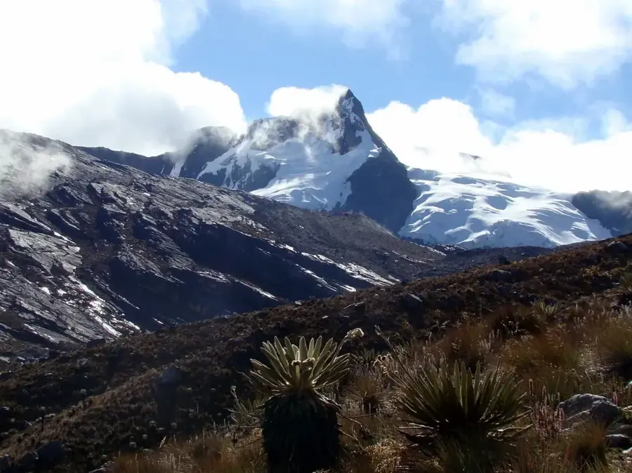
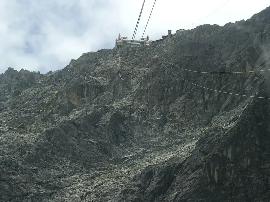
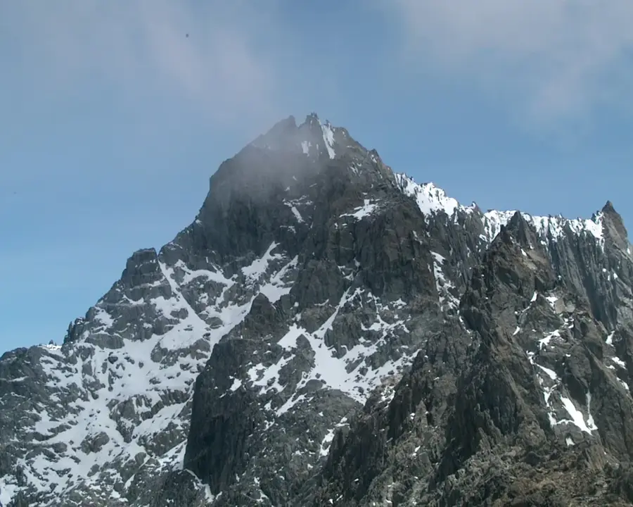
Pico Muertos is a prominent mountain peak in the Sierra Nevada de Mérida, reaching an elevation of approximately 4,600 meters. Its name, which translates to 'Peak of the Dead,' stems from local legends or perhaps the stark, inhospitable nature of the high-altitude landscape. Located in a more remote section of the Sierra Nevada National Park, it is a destination for experienced trekkers seeking solitude away from common tourist paths. Geologically, the mountain is composed of Precambrian rock that has been heavily eroded by extreme freeze-thaw cycles. The flora is restricted to the hardiest paramo plants, while the fauna consists of only a few species adapted to the thin mountain air. The ascent provides spectacular views of neighboring glacial lagoons and the main axis of the Venezuelan Andes. Despite being less famous than Pico Bolívar, it remains a vital part of the nation's alpine ecosystem. Pico Muertos is often shrouded in thick mist, adding to its mysterious and imposing character.
Best time to visit & climate
The most pleasant time to visit is Jan–Mar.
| Jan | Feb | Mar | Apr | May | Jun | Jul | Aug | Sep | Oct | Nov | Dec | |
|---|---|---|---|---|---|---|---|---|---|---|---|---|
| Avg °C | 17 | 18 | 18 | 18 | 18 | 17 | 17 | 17 | 18 | 17 | 17 | 17 |
| Rain mm | 30 | 35 | 72 | 143 | 163 | 136 | 119 | 115 | 135 | 156 | 133 | 68 |
📋 Practical info
Geography
Facts
- Elevation of approximately 4,600 meters
- Located within the Sierra Nevada National Park
- Composed of ancient Precambrian rocks
- Shaped by periglacial erosion processes
- Name is derived from local mountain legends
- Habitat for resilient frailejones plants
Explore nearby
Notable places around
Route planner — Car & Motorhome
Where do you start? We build the route here, with stops and country notes along the way.
© OpenStreetMap contributors · OpenRouteService
Sights in the town Pico Muertos (1)
Sights nearby
Frequently asked questions
Is Pico Muertos suitable for beginners?
How long does the climb take?
Is there accommodation nearby?
What is the best season?
Do you have to be physically fit?
Pico Muertos: where is it located?
Pico Muertos: when is the best time to visit?
Pico Muertos: why is it worth visiting?

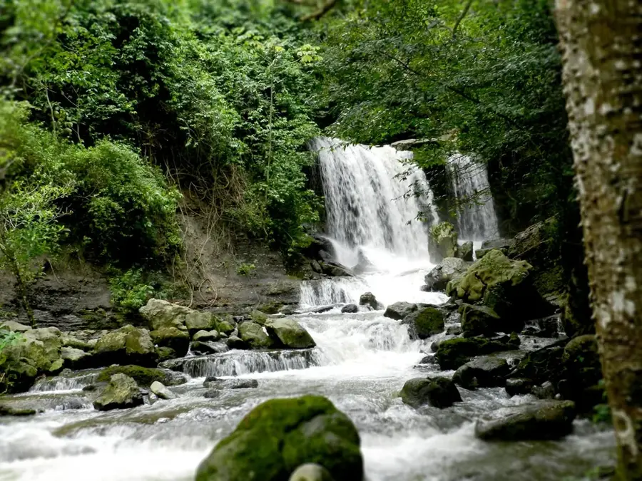
Nature
More places