Plizio Visual Lab
Tapo-Caparo National Park
Weather…
Water temperature…
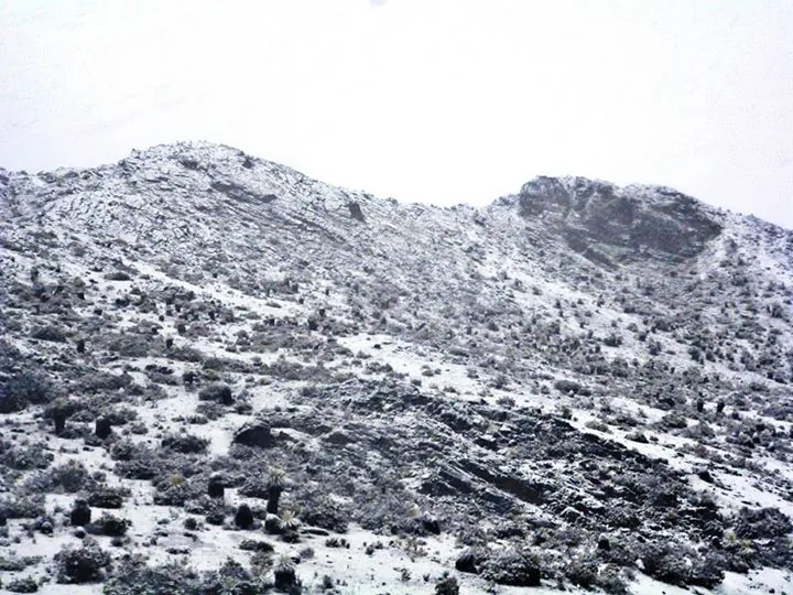
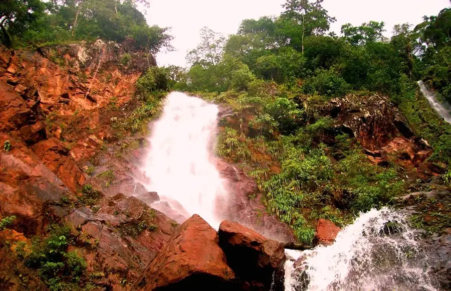
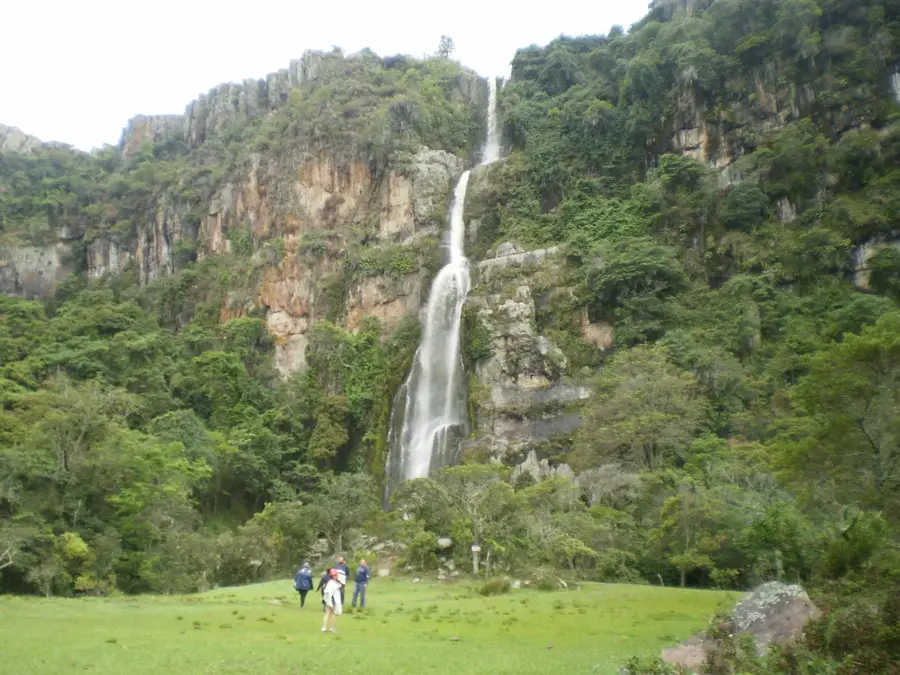
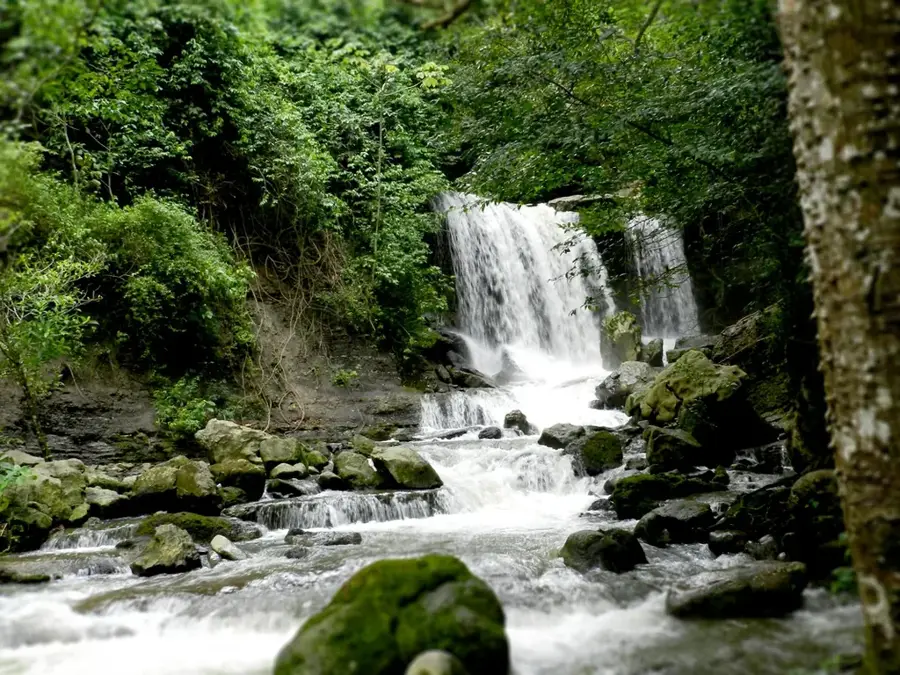
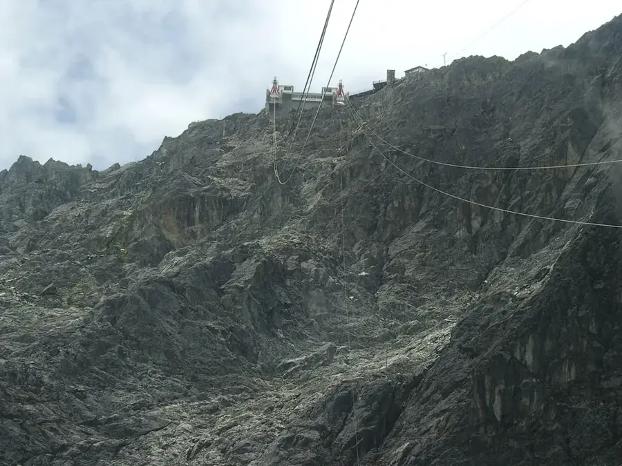
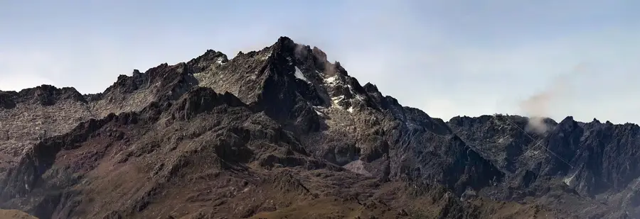
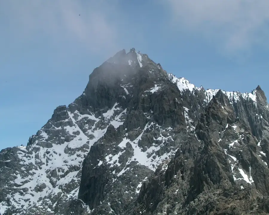
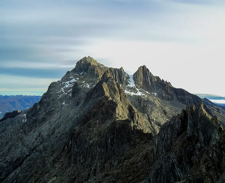
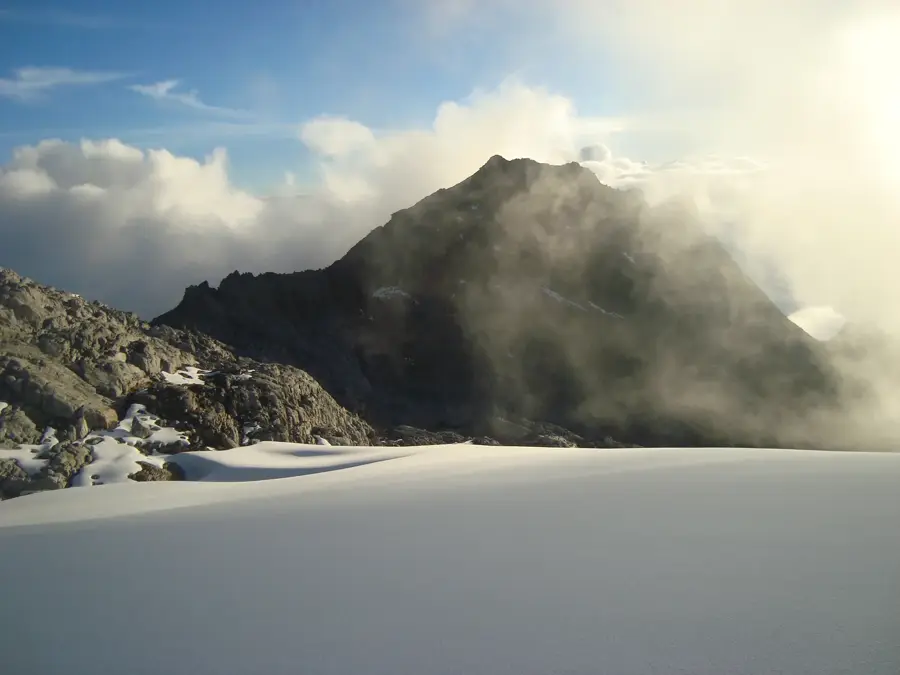
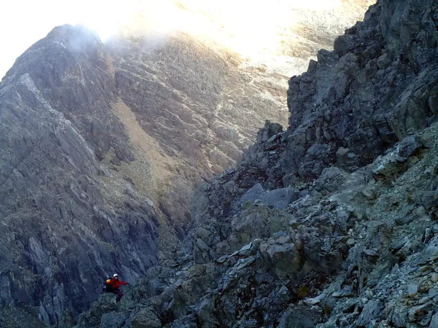
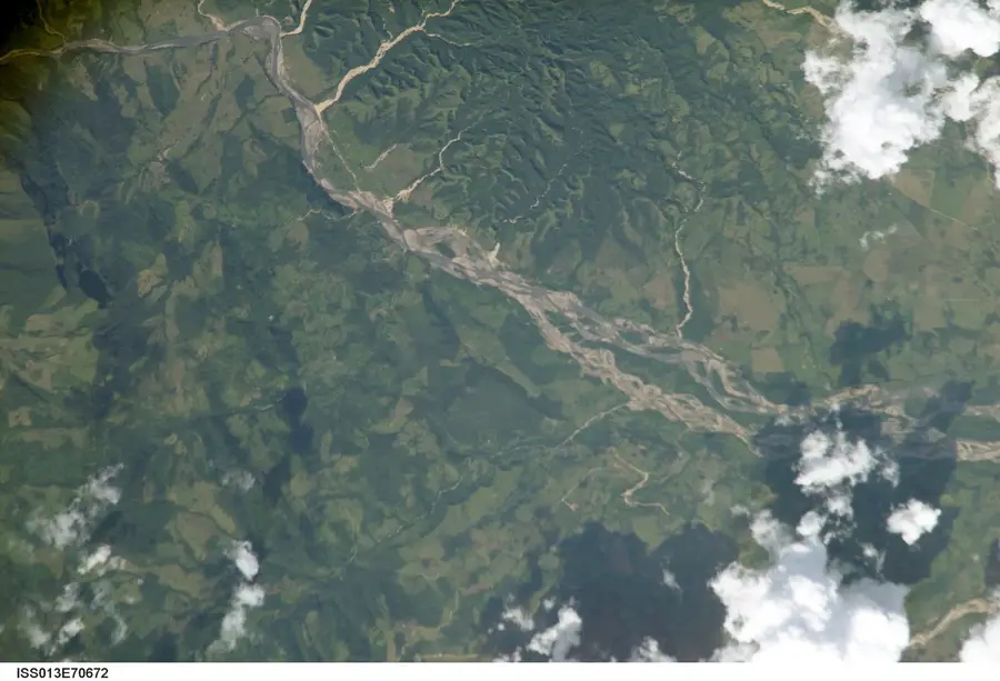
Tapo-Caparo National Park was established on January 14, 1993, and spans across the states of Barinas, Mérida, and Táchira in western Venezuela. Covering an area of approximately 205,000 hectares, it protects a complex ecosystem that encompasses the transition from the Andes to the Llanos plains. The park was primarily created to secure the watersheds for the Uribante-Caparo hydroelectric complex, which is of great significance for the energy supply of the western part of the country. The landscape is characterized by dense rainforests, cloud forests, and numerous rivers and streams that have carved deep valleys. Tapo-Caparo is home to an impressive variety of wildlife, including pumas, jaguars, and the spectacled bear, along with hundreds of bird species. Geologically, the area is defined by steep slopes and deeply cut canyons that form a natural barrier. Despite its importance for conservation and infrastructure, the park remains largely pristine due to its topography, offering researchers valuable insights into the biodiversity of the Andean foothills.
- Location: Venezuela
- Top sights: Pico de Urumo · Cerro Las Aguadas · Cerro El Guamal
Best time to visit & climate
The most pleasant time to visit is Jan, Feb, Dec.
| Jan | Feb | Mar | Apr | May | Jun | Jul | Aug | Sep | Oct | Nov | Dec | |
|---|---|---|---|---|---|---|---|---|---|---|---|---|
| Avg °C | 22 | 23 | 24 | 23 | 23 | 22 | 21 | 22 | 22 | 22 | 22 | 22 |
| Rain mm | 25 | 26 | 65 | 132 | 183 | 169 | 149 | 125 | 137 | 140 | 116 | 56 |
📋 Practical info
Geography
Facts
- The official establishment occurred on January 14, 1993, under Decree No. 2,759.
- The park covers an area of approximately 205,000 hectares.
- The Uribante-Caparo dam is closely linked to the park's protected zone.
- Elevations within the park range from 150 to 2,450 meters above sea level.
- The park is home to rare orchid species and tree ferns of the cloud forests.
- Annual rainfall exceeds 3,000 mm in some areas of the park.
Explore nearby
Notable places around
Route planner — Car & Motorhome
Where do you start? We build the route here, with stops and country notes along the way.
© OpenStreetMap contributors · OpenRouteService
Sights in the town Tapo-Caparo National Park (5)
Sights nearby
Frequently asked questions
What does this national park protect?
Is the park accessible to tourists?
What activities are common there?
Do I need a guide?
What is the climate like there?
Tapo-Caparo National Park: where is it located?
Tapo-Caparo National Park: what is there to see?
Tapo-Caparo National Park: when is the best time to visit?
Tapo-Caparo National Park: why is it worth visiting?

Nature

More places