Plizio Visual Lab
Pico Humboldt
Weather…
Water temperature…
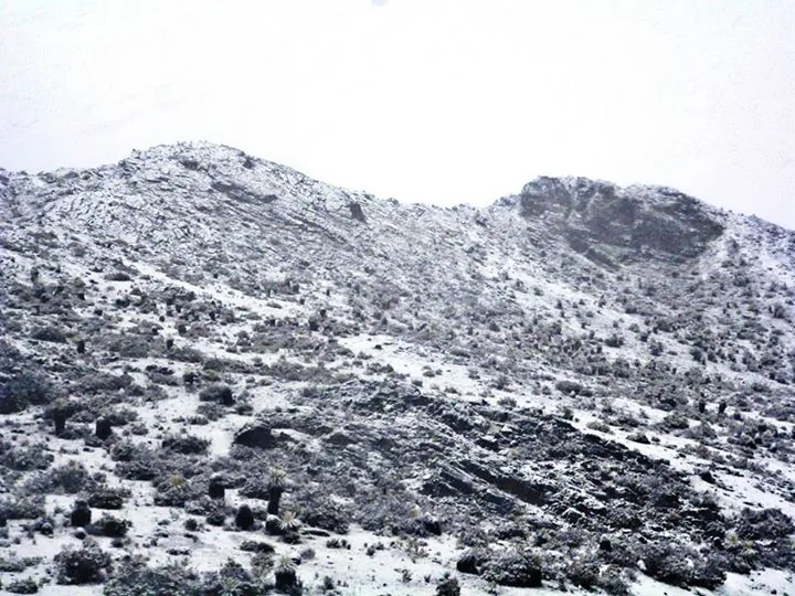
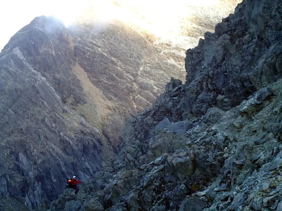
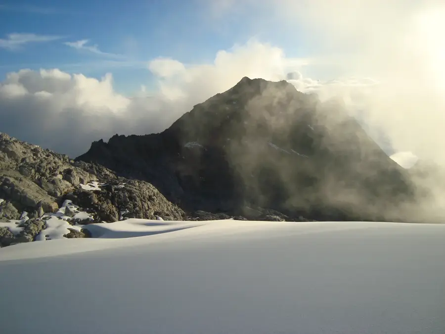
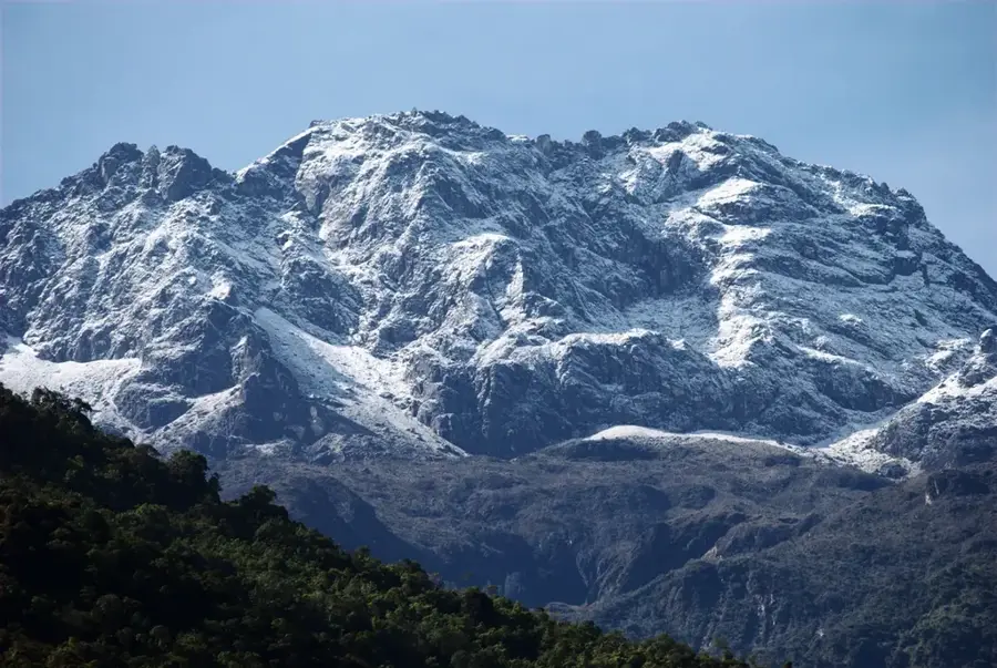
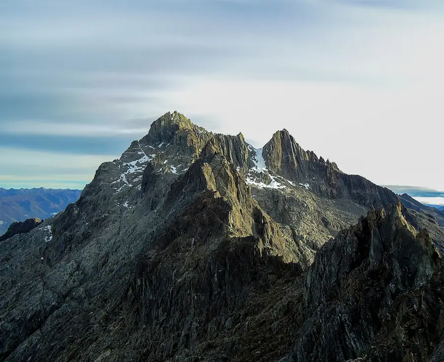
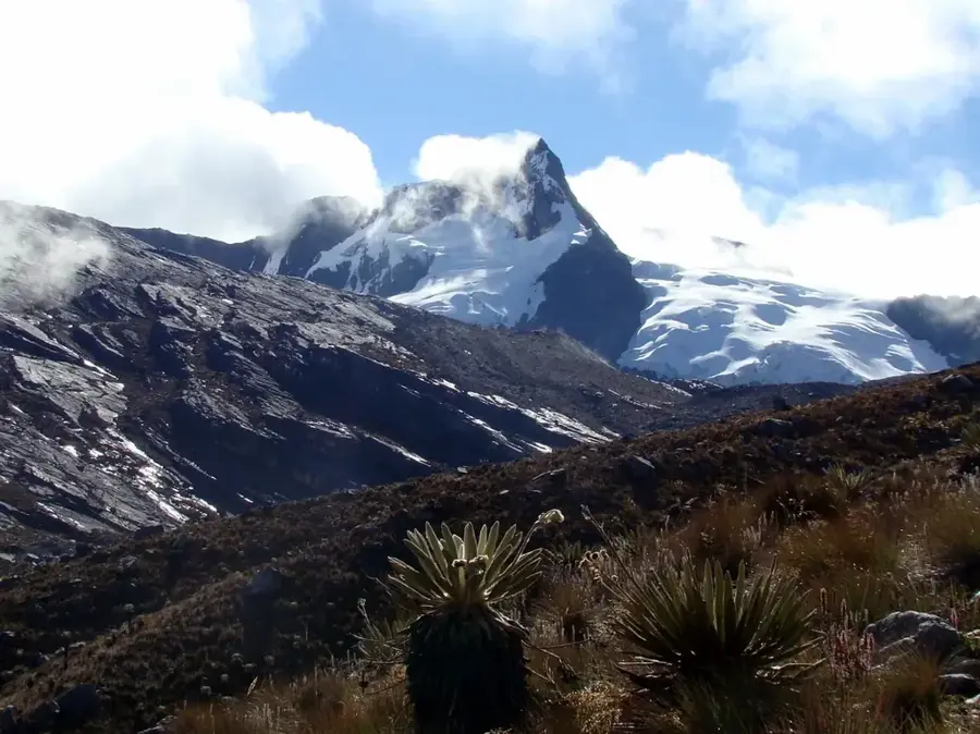
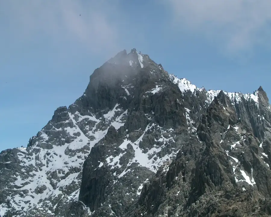
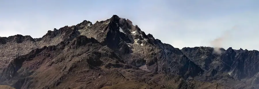
Pico Humboldt is the second-highest mountain in Venezuela, reaching an elevation of 4,940 meters, located within the Sierra Nevada de Mérida. Named after the famous German naturalist Alexander von Humboldt, it forms the 'Sierra Nevada' massif along with the neighboring Pico Bonpland. The mountain is of great ecological significance as it hosts one of Venezuela's last remaining glaciers, the Glaciar de La Corona. However, this glacier has almost entirely disappeared in recent decades due to global warming, making Pico Humboldt a symbol of climate change in the tropics. The first documented ascent was achieved in 1911 by the Venezuelan Alfredo Jahn. Climbing to the summit takes trekkers through various vegetation zones, starting from subalpine forests to the characteristic páramo with its unique frailejones plants. The mountain gives spectacular views of the surrounding Andean peaks and is a popular destination for experienced mountaineers.
Best time to visit & climate
The most pleasant time to visit is Jan–Mar.
| Jan | Feb | Mar | Apr | May | Jun | Jul | Aug | Sep | Oct | Nov | Dec | |
|---|---|---|---|---|---|---|---|---|---|---|---|---|
| Avg °C | 17 | 18 | 18 | 18 | 18 | 17 | 17 | 17 | 18 | 17 | 17 | 17 |
| Rain mm | 30 | 35 | 72 | 143 | 163 | 136 | 119 | 115 | 135 | 156 | 133 | 68 |
📋 Practical info
Geography
Facts
- The summit is located at 4,940 meters above sea level.
- The first climber, Alfredo Jahn, reached the summit on January 16, 1911.
- The Glaciar de La Corona is the second-largest glacier in Venezuela.
- The average temperature at the summit is frequently below freezing.
- The mountain is part of Sierra Nevada National Park, established in 1952.
- Scientists predict the complete disappearance of the glacier by 2030.
Explore nearby
Notable places around
Route planner — Car & Motorhome
Where do you start? We build the route here, with stops and country notes along the way.
© OpenStreetMap contributors · OpenRouteService
Sights in the town Pico Humboldt (1)
Sights nearby
Frequently asked questions
Who was Humboldt?
Is Pico Humboldt hard to climb?
Is there snow there?
Is a guide mandatory?
When is the weather best?
Pico Humboldt: where is it located?
Pico Humboldt: when is the best time to visit?
Pico Humboldt: why is it worth visiting?

Nature
More places