Plizio Visual Lab
Macarao National Park
Weather…
Water temperature…
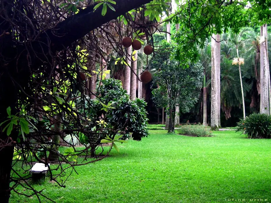
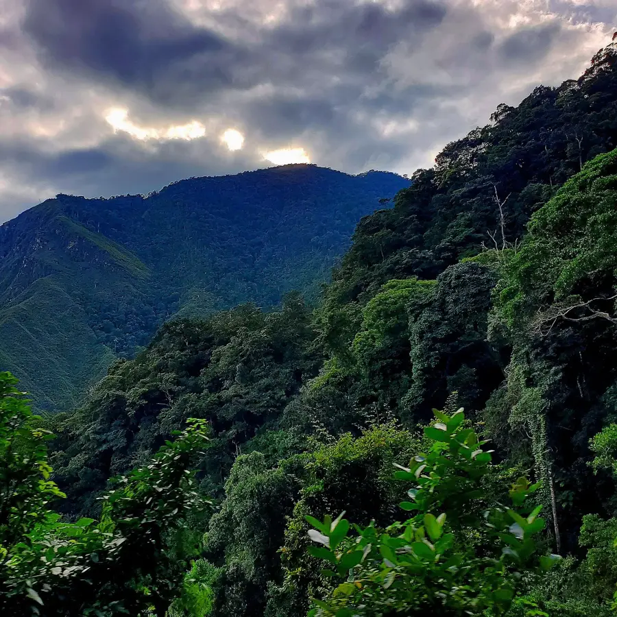
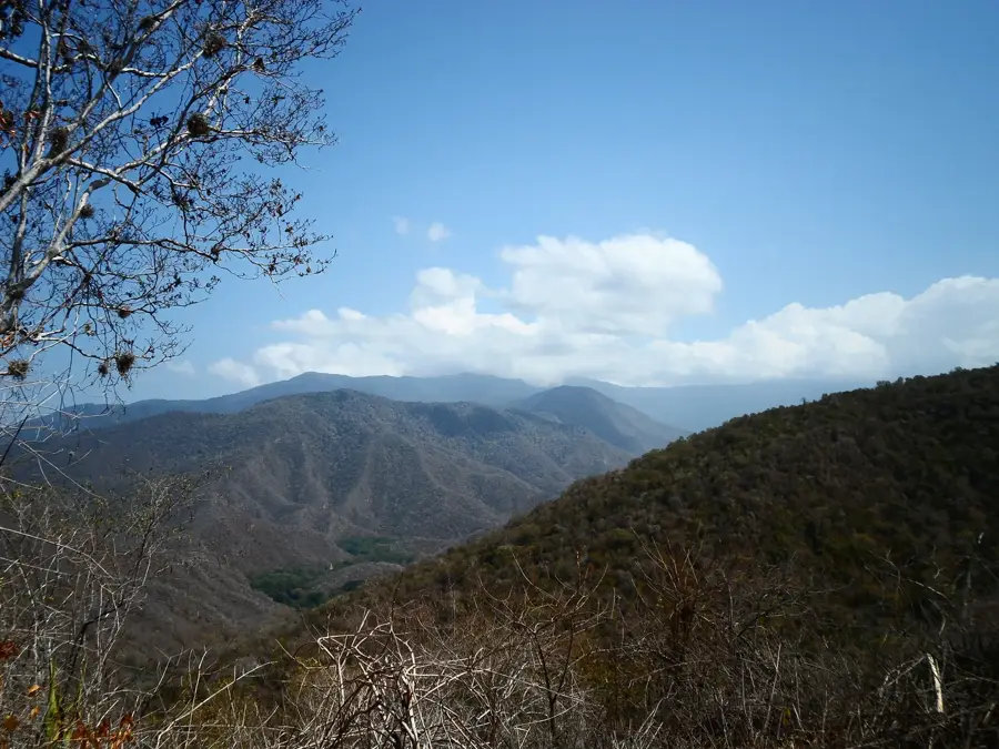
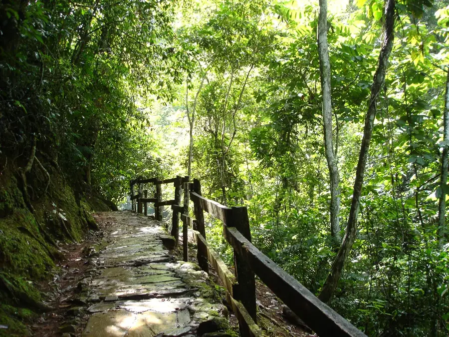
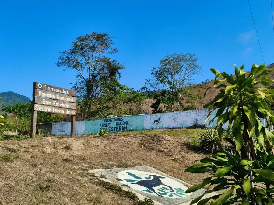
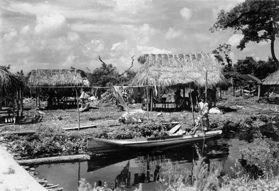
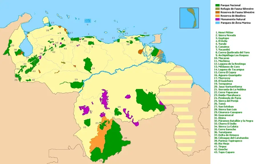
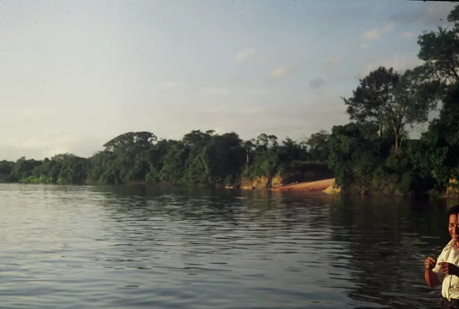
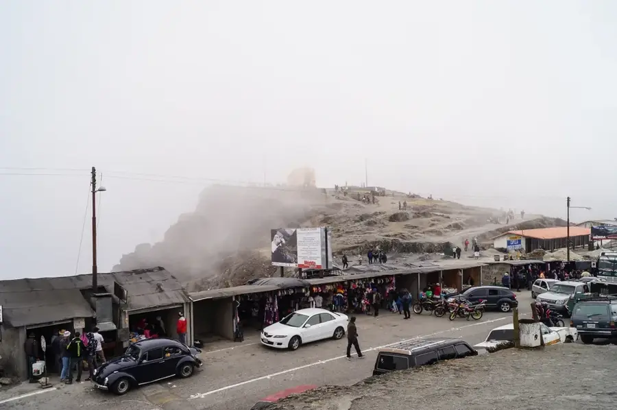
Macarao National Park was established on December 5, 1973, and covers an area of approximately 15,000 hectares within the Coastal Range of Venezuela. Located southwest of Caracas, it protects vital watersheds crucial for the capital's water supply, including the Macarao, San Pedro, and El Jarillo rivers. The landscape is characterized by dense mountain forests and cloud forests that thrive at altitudes ranging from 1,000 to 2,090 meters above sea level. Historically, this area was inhabited by the indigenous Teques people and played a significant role in the region's early colonial history as a transit corridor. Today, the park serves as a vital 'green lung' and an important recreational area for the residents of the Caracas metropolitan area while providing habitat for numerous bird species and small mammals. The vegetation comprises over 500 plant species, including many epiphytes such as orchids and bromeliads that are typical of the humid highlands of the Cordillera de la Costa.
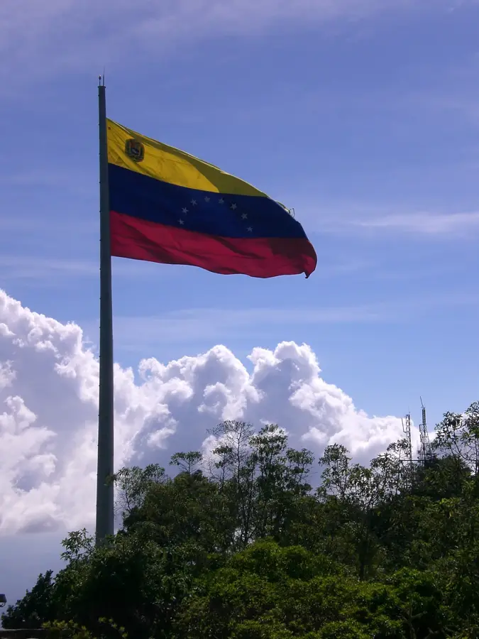
- Location: Venezuela
- Top sights: Alto Culebra · Alto Maturín · Cerro Los Canjilones
Best time to visit & climate
The most pleasant time to visit is Jan–Mar.
| Jan | Feb | Mar | Apr | May | Jun | Jul | Aug | Sep | Oct | Nov | Dec | |
|---|---|---|---|---|---|---|---|---|---|---|---|---|
| Avg °C | 23 | 23 | 23 | 24 | 25 | 25 | 24 | 25 | 25 | 25 | 24 | 23 |
| Rain mm | 42 | 30 | 14 | 41 | 71 | 87 | 101 | 120 | 89 | 96 | 77 | 74 |
📋 Practical info
Geography
Facts
- The park was officially established on December 5, 1973, under Decree No. 1,529.
- The total area covers 15,000 hectares across the Capital District and Miranda State.
- The highest point in the park is at Alto del Volcán, reaching 2,090 meters above sea level.
- The Macarao and San Pedro rivers originate here, providing water to the city of Caracas.
- Over 500 different plant species have been documented within the park's boundaries.
- The average temperature fluctuates between 16 °C and 26 °C depending on the elevation.
Explore nearby
Notable places around
Route planner — Car & Motorhome
Where do you start? We build the route here, with stops and country notes along the way.
© OpenStreetMap contributors · OpenRouteService
Sights in the town Macarao National Park (11)
Sights nearby
Frequently asked questions
What is the character of this park?
Is the park easily accessible?
What animals can be discovered?
Are there camping opportunities?
What is the climate like there?
Macarao National Park: where is it located?
Macarao National Park: what is there to see?
Macarao National Park: when is the best time to visit?
Macarao National Park: why is it worth visiting?

Nature
More places