Plizio Visual Lab
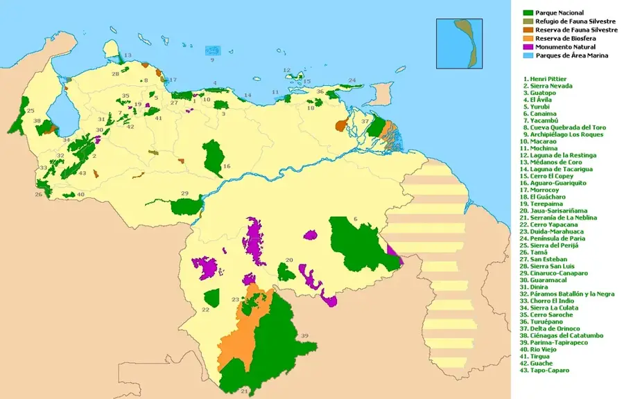
Henri Pittier National Park
Weather…
Water temperature…
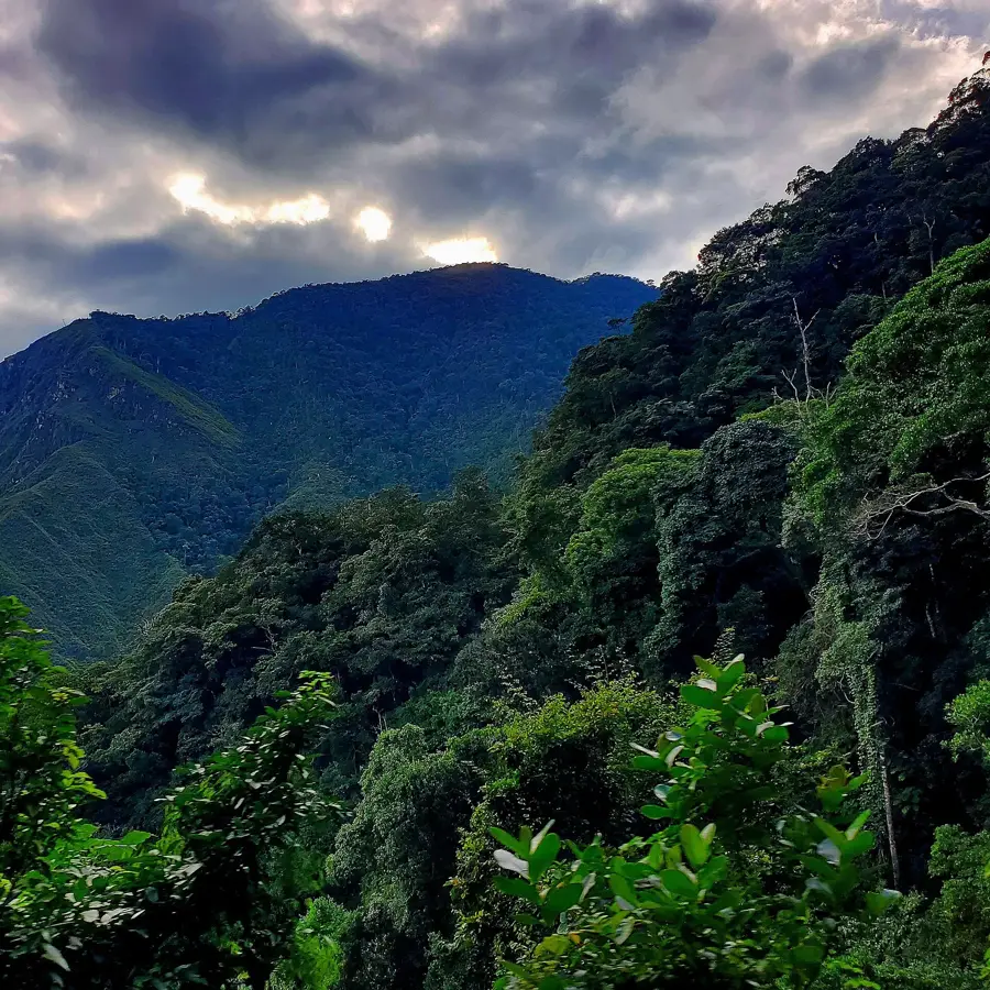
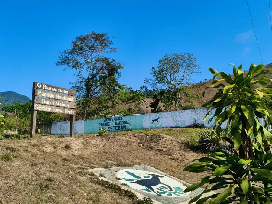
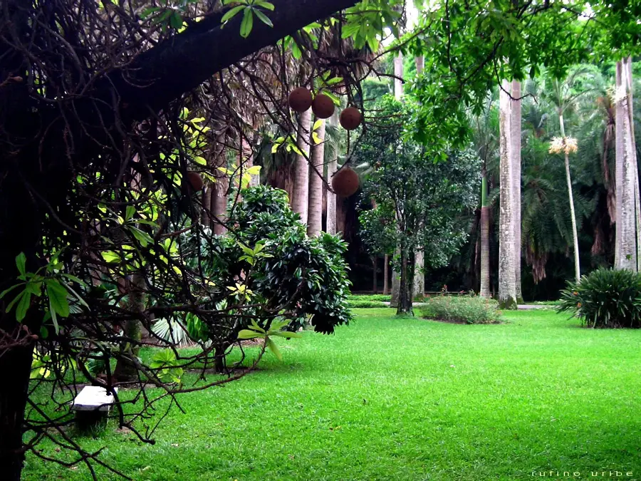
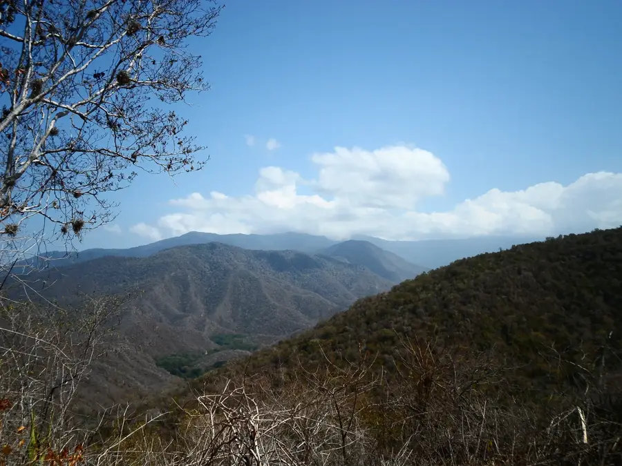
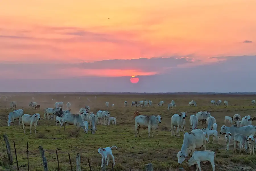
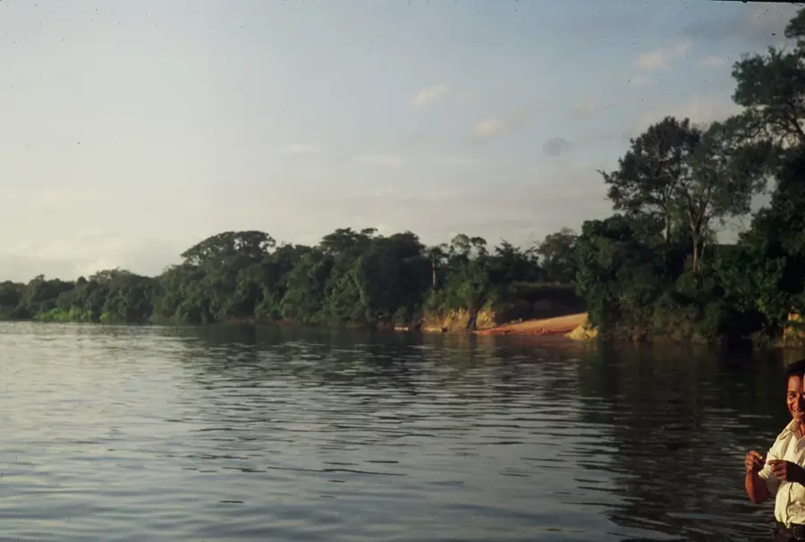
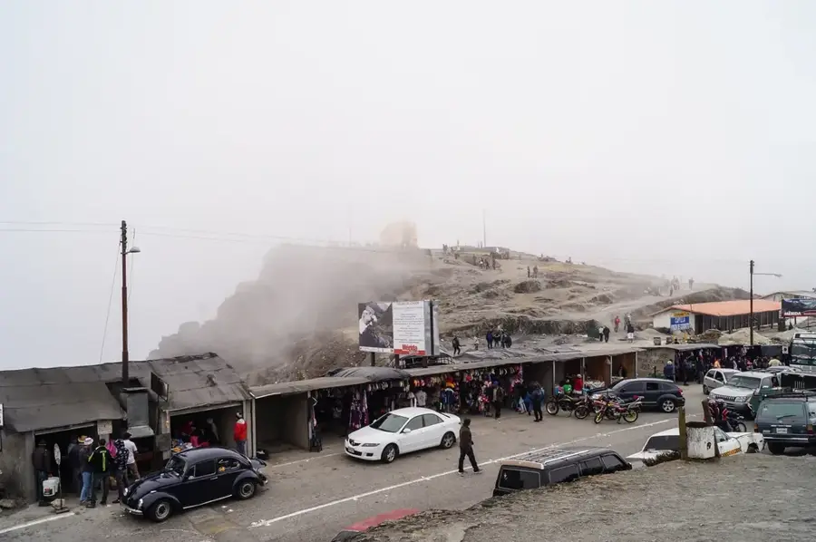
Henri Pittier National Park is the oldest national park in Venezuela, established in 1937, and spans the coastal mountains of Aragua and Carabobo states. It covers an area of approximately 107,800 hectares (266,000 acres), stretching from the Caribbean coast to the high peaks of the Cordillera de la Costa. The park is named after the renowned Swiss geographer and botanist Henri Pittier, who was instrumental in its creation. The region is characterized by extraordinary topographical diversity, ranging from dry forests on the coast to lush cloud forests at higher elevations. A standout feature is its birdlife; over 500 species have been recorded here, making it one of the premier birdwatching destinations in the world. The Portachuelo Pass is particularly famous as a critical migration route for millions of birds and insects. Beyond its ecological value, the park protects vital water sources for the surrounding cities of Maracay and Valencia. The combination of pristine beaches, dense jungles, and immense biodiversity makes Henri Pittier a true national natural treasure.
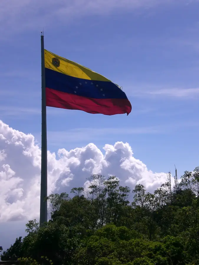
- Location: Venezuela
- Top sights: Pico La Mesa · Cerro Peñón Blanco · Cerro Macarapure
📋 Practical info
Geography
Facts
- Established in 1937 as Rancho Grande, it was the country's first NP.
- The park is home to more than 40% of all bird species in Venezuela.
- The highest point is Pico Cenizo, reaching 2,436 meters (7,992 feet).
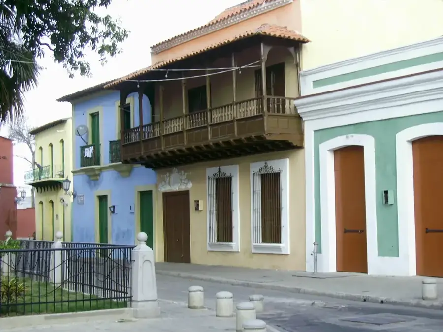
- The coastal side includes famous beaches like Choroní and Ocumare.
- Portachuelo Pass is a major bottleneck for intercontinental migratory birds.
- Henri Pittier himself spent years living in the park to study its flora.
Explore nearby
Notable places around
Route planner — Car & Motorhome
Where do you start? We build the route here, with stops and country notes along the way.
© OpenStreetMap contributors · OpenRouteService
Sights in the town Henri Pittier National Park (4)
Sights nearby
Frequently asked questions
Where is this national park located?
What activities are recommended?
Is the park family-friendly?
Do I need a guide for the cloud forest?
What is the weather like there?
Henri Pittier National Park: where is it located?
Henri Pittier National Park: what is there to see?
Henri Pittier National Park: why is it worth visiting?

Nature
More places