Plizio Visual Lab
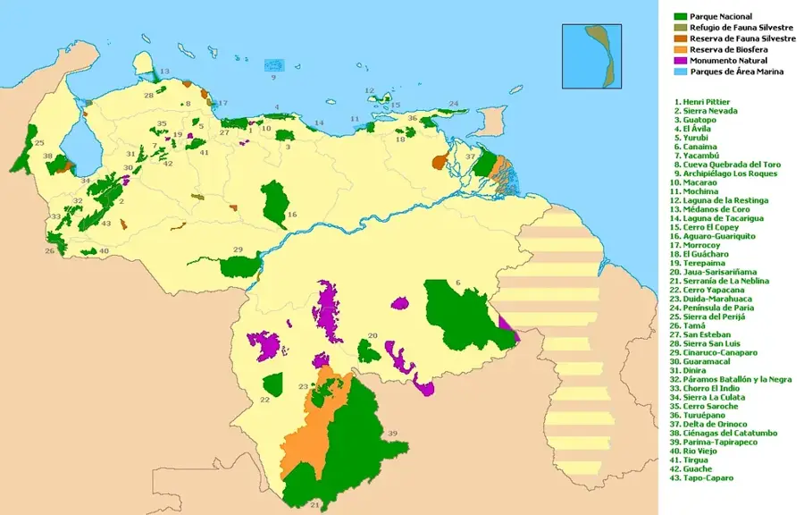
Guatopo National Park
Weather…
Water temperature…
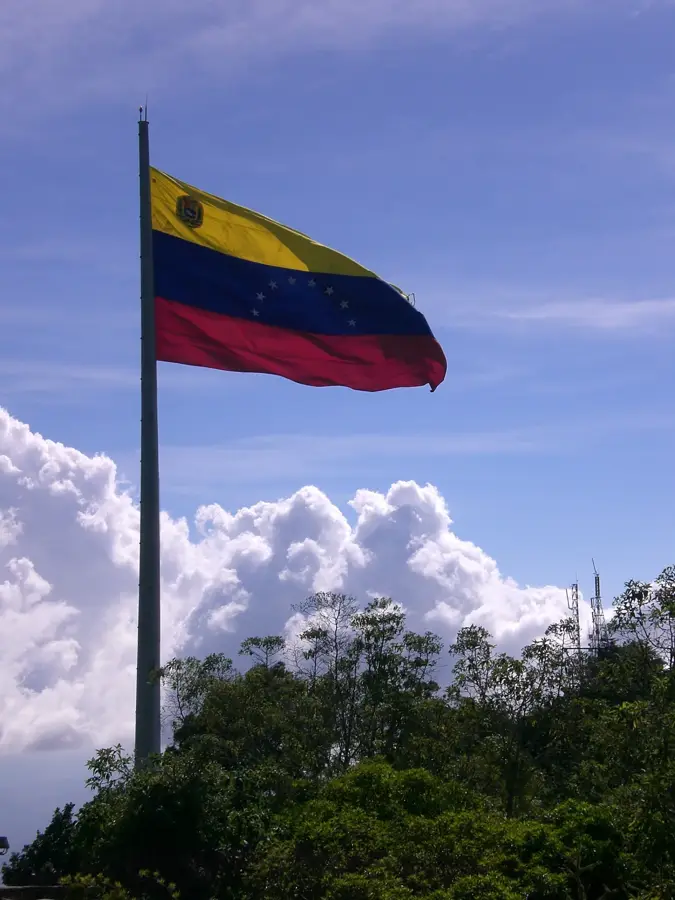
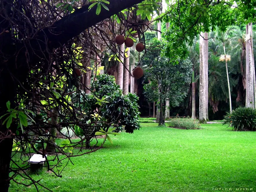
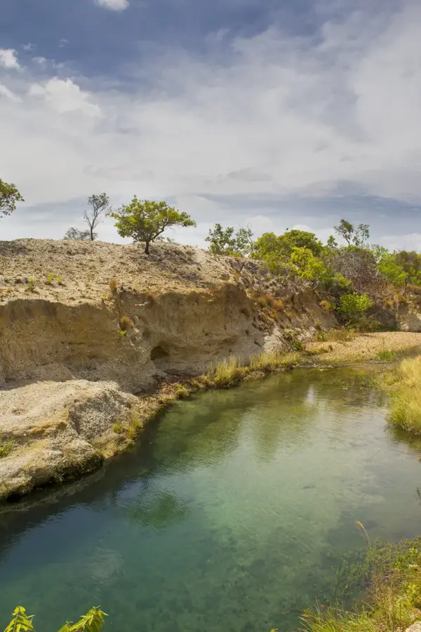
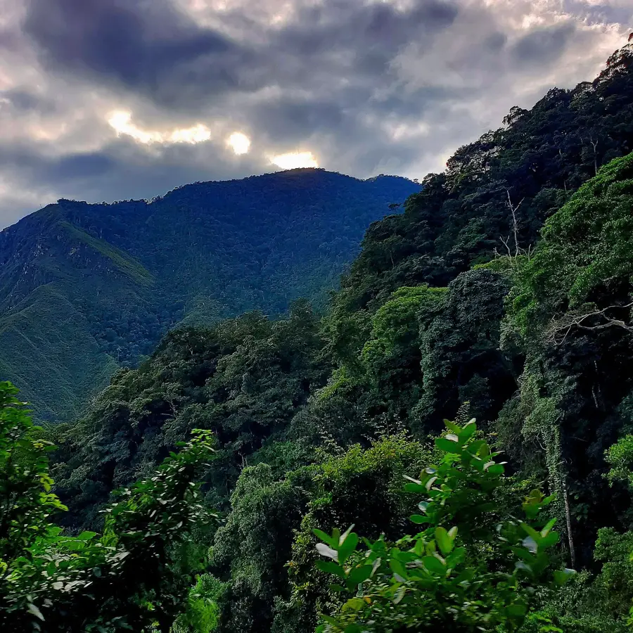
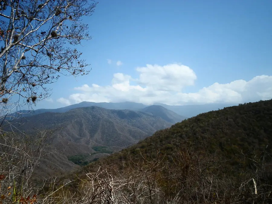
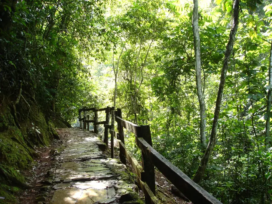
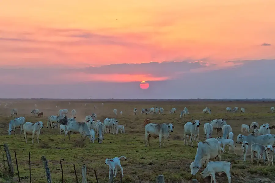
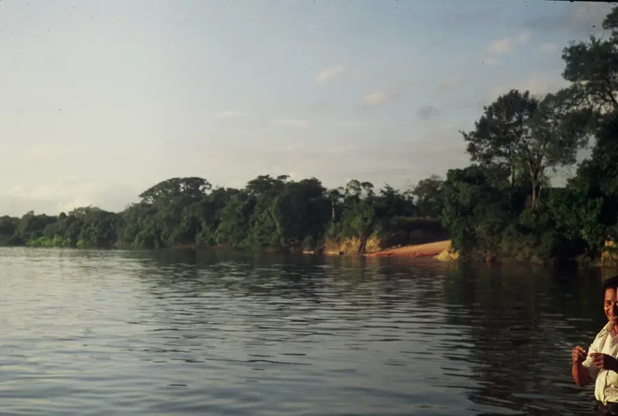
Guatopo National Park is located in the mountainous region of central Venezuela, spanning across Miranda and Guárico states. Established on March 31, 1958, it covers an area of approximately 122,464 hectares and primarily serves to protect the watersheds that supply water to the capital city, Caracas, and surrounding areas. The terrain is characterized by rugged mountains and deep valleys covered in dense tropical rainforest and cloud forest. The flora is exceptionally diverse, featuring numerous epiphytes, ferns, and orchids. Wildlife is also abundant, with species such as the jaguar, tapir, and howler monkey inhabiting the park. Historically, the area was once home to cocoa plantations, remains of which can still be found today in the form of old hacienda ruins. While the park gives hiking trails and recreational zones, its most significant value lies in its role as an ecological corridor and a reservoir for regional biodiversity.
- Location: Venezuela
- Top sights: Topo de Aguarramos · Morro de Apa · Cerro San Juan
Best time to visit & climate
The most pleasant time to visit is Jan–Mar.
| Jan | Feb | Mar | Apr | May | Jun | Jul | Aug | Sep | Oct | Nov | Dec | |
|---|---|---|---|---|---|---|---|---|---|---|---|---|
| Avg °C | 24 | 25 | 26 | 27 | 27 | 26 | 26 | 26 | 26 | 26 | 26 | 25 |
| Rain mm | 18 | 18 | 7 | 38 | 75 | 91 | 106 | 126 | 91 | 88 | 59 | 44 |
📋 Practical info
Geography
Facts
- The national park was officially declared on March 31, 1958.
- It spans an area of exactly 1,224.64 square kilometers.
- The highest point in the park reaches approximately 1,430 meters above sea level.
- Annual rainfall in the area ranges between 1,400 and 2,800 mm.
- Over 400 different bird species have been documented within the park.
- Guatopo protects the headwaters of the Tuy and Taguaza rivers.
Explore nearby
Notable places around
Route planner — Car & Motorhome
Where do you start? We build the route here, with stops and country notes along the way.
© OpenStreetMap contributors · OpenRouteService
Sights in the town Guatopo National Park (3)
Sights nearby
Frequently asked questions
What is special about Guatopo?
Is the park open for visitors?
Can I hike there?
Do I have to pay a fee?
When is the best visit time?
Guatopo National Park: where is it located?
Guatopo National Park: what is there to see?
Guatopo National Park: when is the best time to visit?
Guatopo National Park: why is it worth visiting?

History & landmarks
Nature
More places