Plizio Visual Lab
Caura River
Weather…
Water temperature…
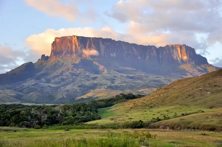
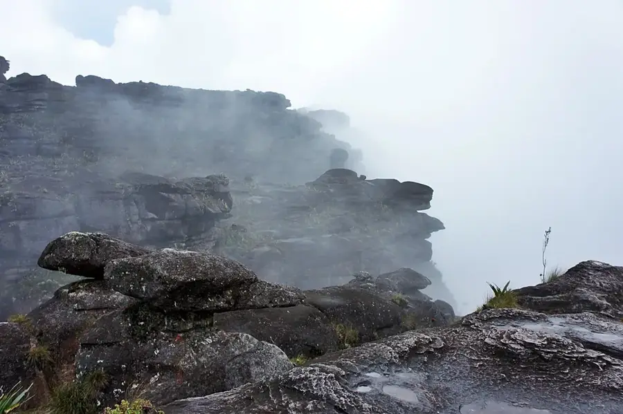
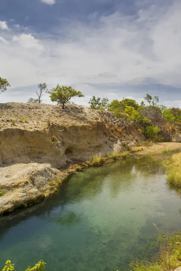
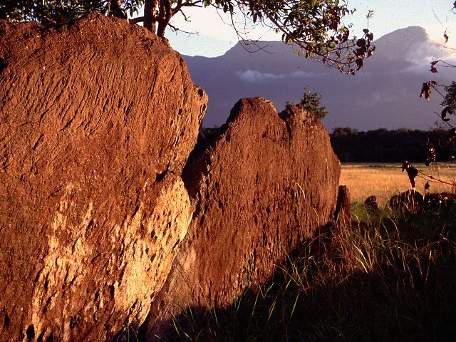
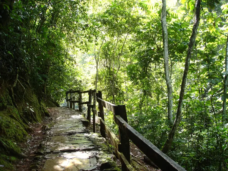
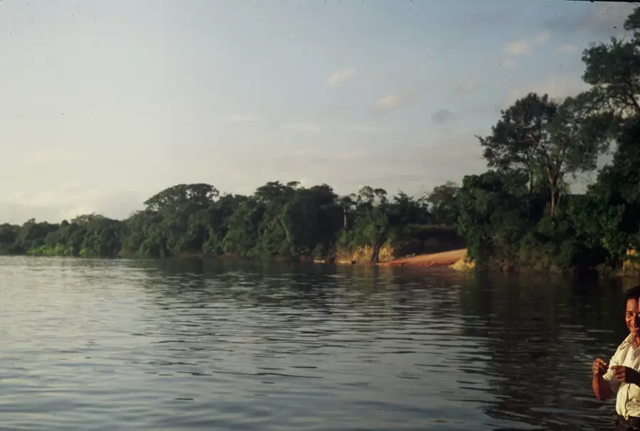
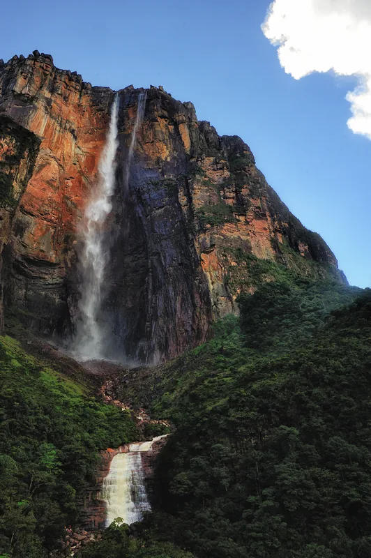
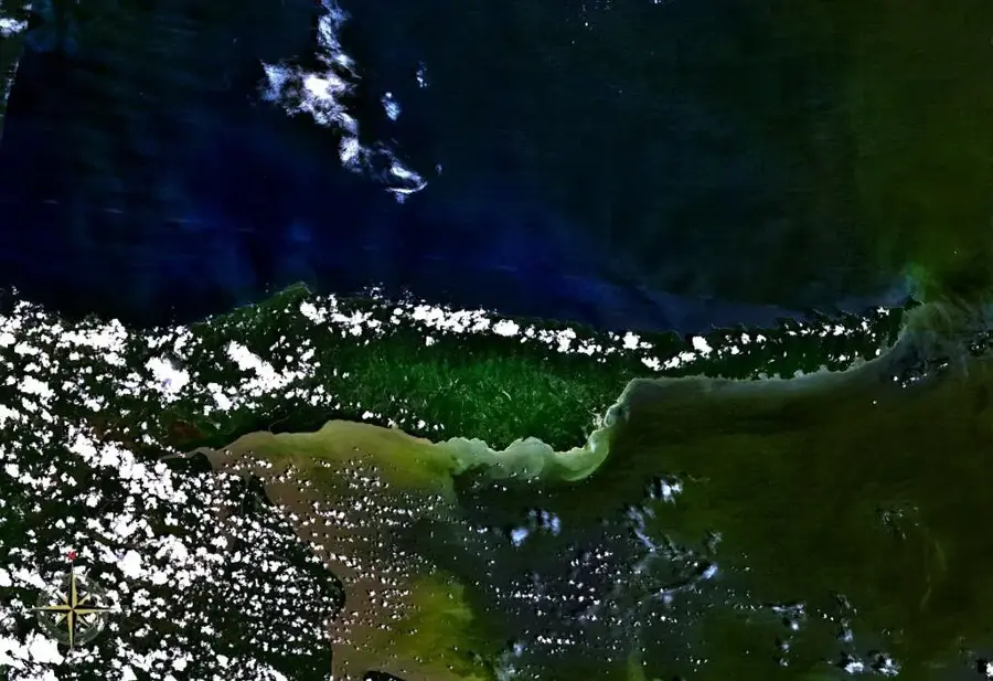
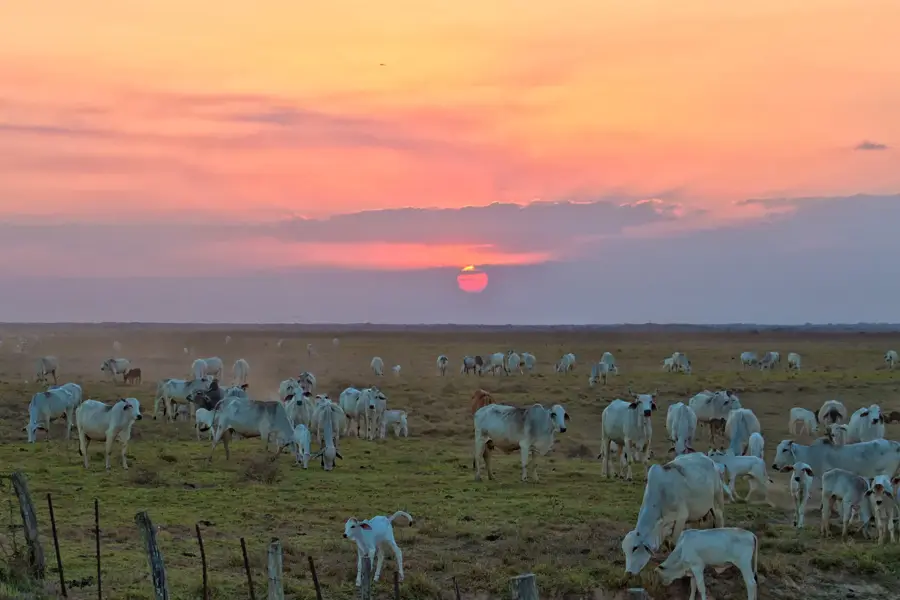
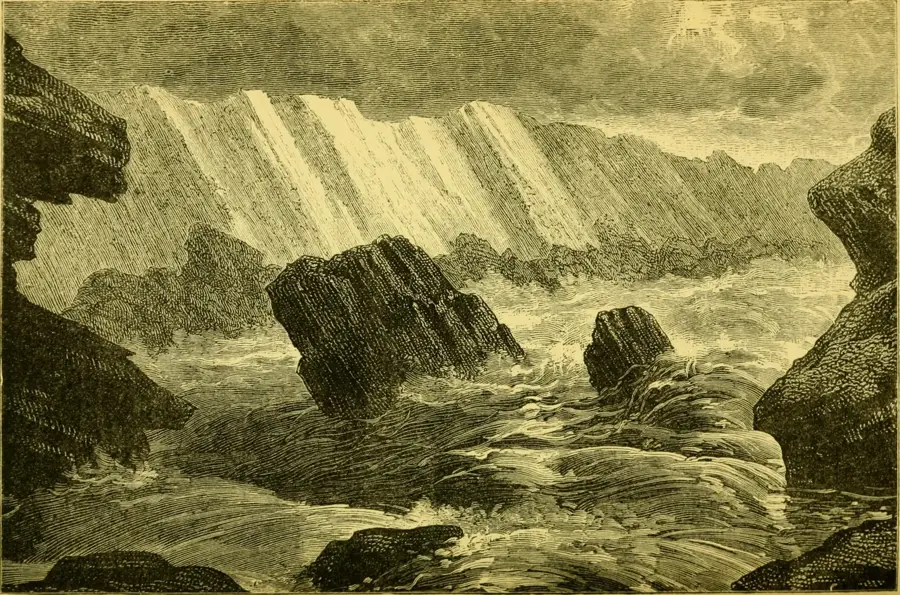
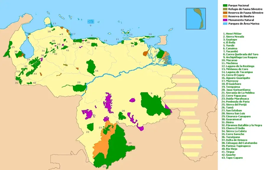
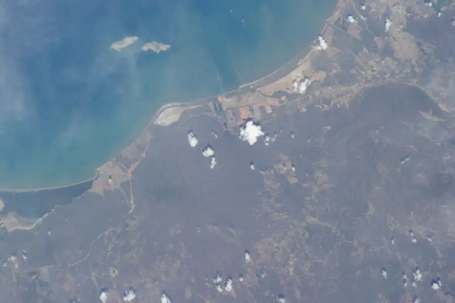
The Caura River is one of the most voluminous and ecologically significant tributaries of the Orinoco in Venezuela. Spanning 725 kilometers through Bolívar state, it drains a vast area of pristine tropical rainforest. Its most striking feature is the magnificent Salto Pará, one of the widest waterfalls in the world, which divides the river into upper and lower sections. The Caura basin is recognized as one of the best-preserved regions within the Venezuelan portion of the Guiana Shield. The river is the ancestral home of the Ye'kuana and Sanema indigenous peoples, who have lived in harmony with the forest for centuries. The region supports an incredible variety of flora and fauna, including jaguars and rare bird species. Since 2017, the entire basin has been protected as part of the Caura National Park to safeguard it from illegal mining activities. The river serves as both a vital waterway and a symbol of the global commitment to rainforest preservation.
Best time to visit & climate
The most pleasant time to visit is Jan, Feb, Dec.
| Jan | Feb | Mar | Apr | May | Jun | Jul | Aug | Sep | Oct | Nov | Dec | |
|---|---|---|---|---|---|---|---|---|---|---|---|---|
| Avg °C | 28 | 29 | 30 | 30 | 28 | 26 | 26 | 26 | 26 | 27 | 27 | 27 |
| Rain mm | 16 | 9 | 23 | 67 | 162 | 266 | 248 | 211 | 130 | 96 | 73 | 31 |
📋 Practical info
Geography
Facts
- Total length of 725 kilometers
- Home to the massive Salto Pará waterfall
- Part of the Caura National Park since 2017
- Basin area covers 45,336 square kilometers
- Traditional territory of the Ye'kuana people
- High level of biodiversity within the Guiana Shield
Explore nearby
Notable places around
Route planner — Car & Motorhome
Where do you start? We build the route here, with stops and country notes along the way.
© OpenStreetMap contributors · OpenRouteService
Sights in the town Caura River (1)
Sights nearby
Frequently asked questions
What makes the Caura River special?
Is there accommodation at Caura?
How do you get to the Caura River?
Is the water suitable for swimming?
What gear is important?
Caura River: where is it located?
Caura River: when is the best time to visit?
Caura River: why is it worth visiting?

History & landmarks
Nature
More places