Plizio Visual Lab
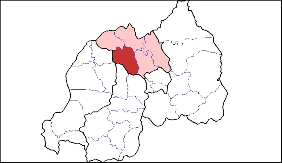
Kabale
ℹ️Practical info — Kabale
▾
🌤 Weather — 5 days
📍 Nearby
Sights nearby
💡 Tips
- Nicknamed the "Switzerland of Africa", Kabale is high in altitude and gets quite cold at night; a warm jacket is a must.
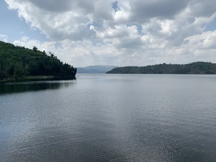
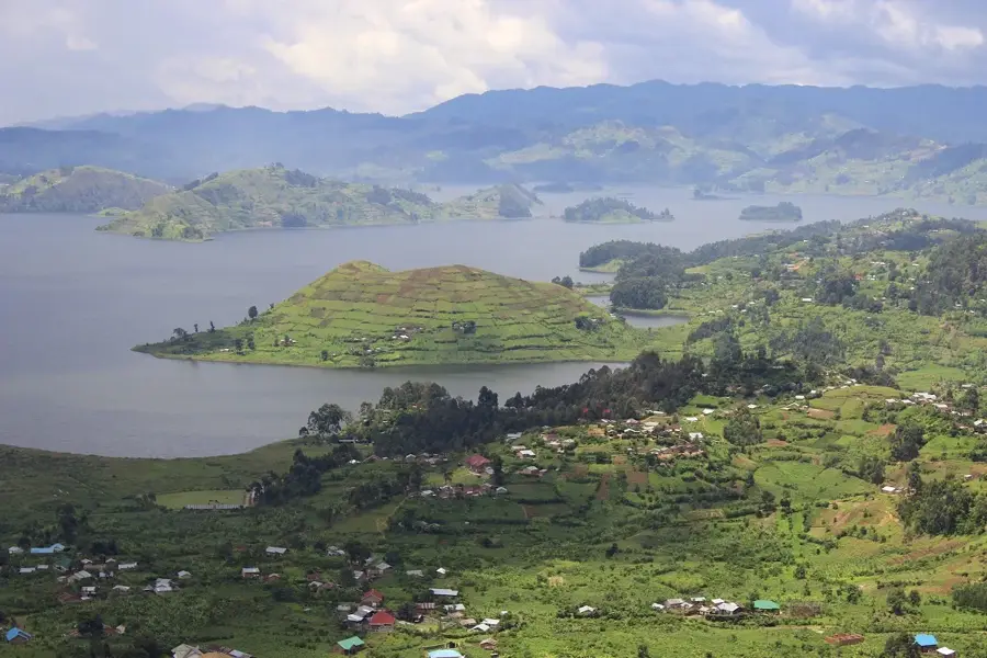
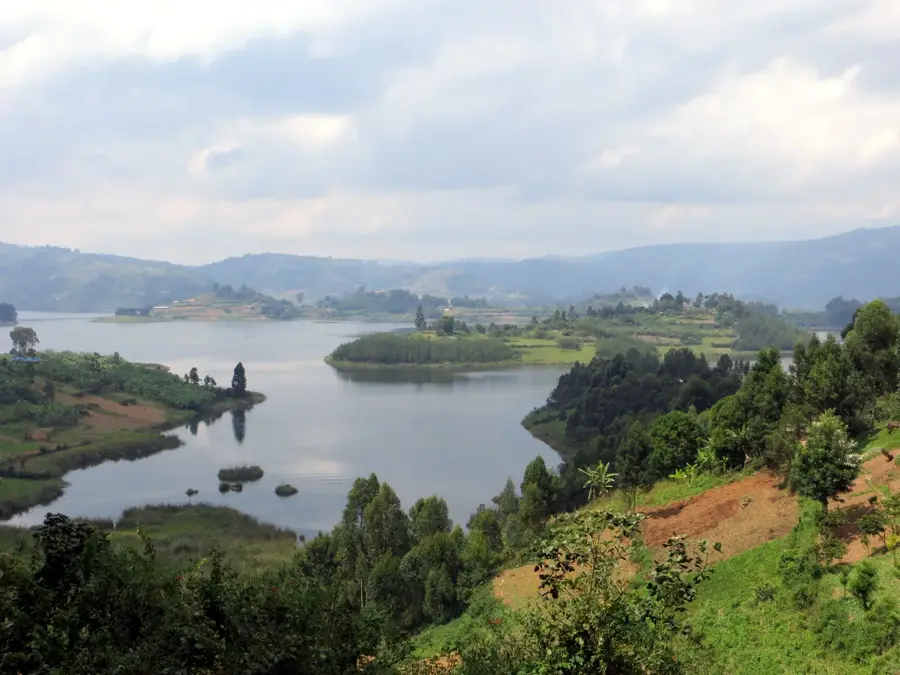
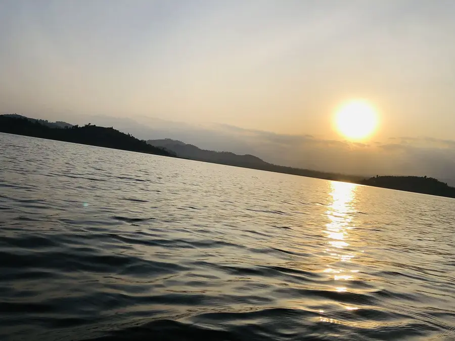
- This is the main gateway for visiting Lake Bunyonyi; shared taxis and boda-bodas (motorcycle taxis) can take you there cheaply.
- If taking a boda-boda, always agree on the price before sitting down and ask for a helmet if they have one.
- Dust can be an issue during the dry season, so protect your camera and bring a bandana or scarf.
🍽 Food
A popular, cheap Ugandan street food consisting of an omelette rolled inside a chapati.
Steamed and mashed green bananas, often served with a savory meat or peanut sauce in local diners.
Sourced from nearby Lake Bunyonyi, available at many restaurants catering to visitors.
🛍 Shopping · 🧘 Quiet spots
An animated place to buy fresh produce, local crafts, and colorful fabrics.
Look for traditional, intricately woven grass baskets and mats made by local artisans.
Even if you don't play, the areas around the golf course offer a quiet, green space for a walk.
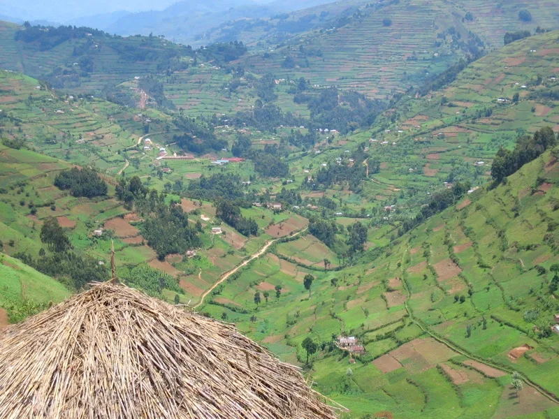
Take a walk up any of the terraced hills on the edge of town for quiet views of the valleys.
Water temperature…
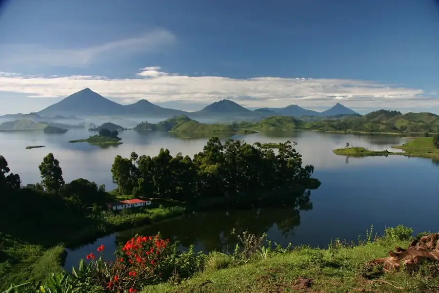
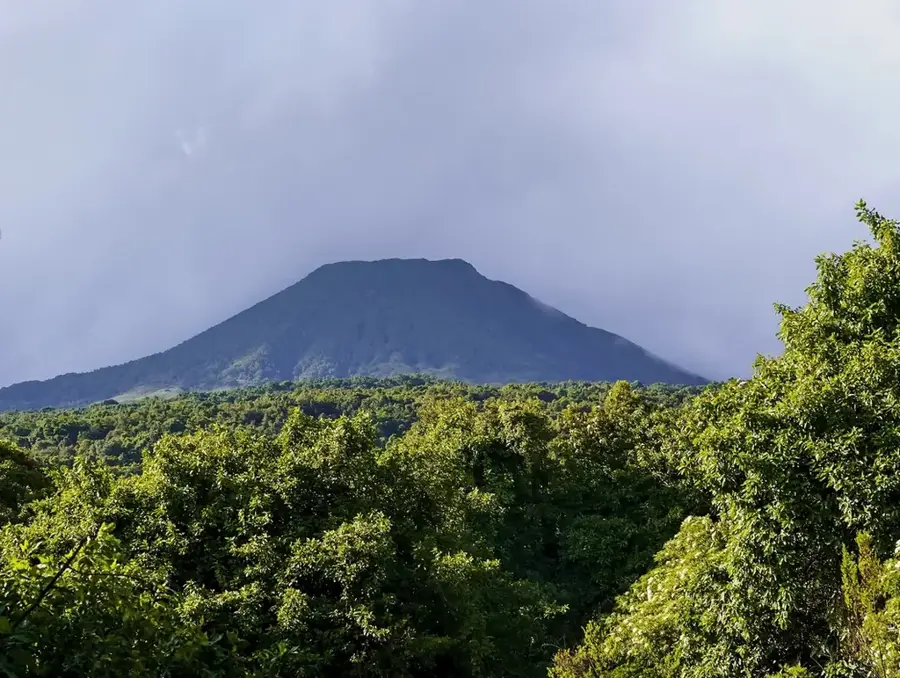
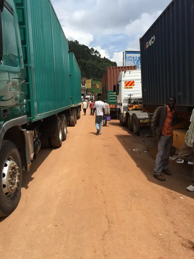
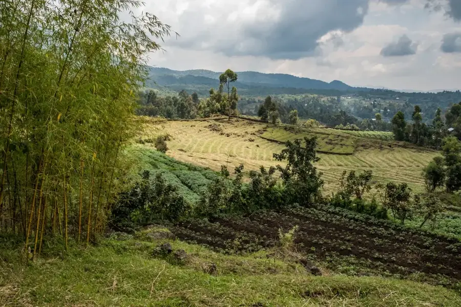
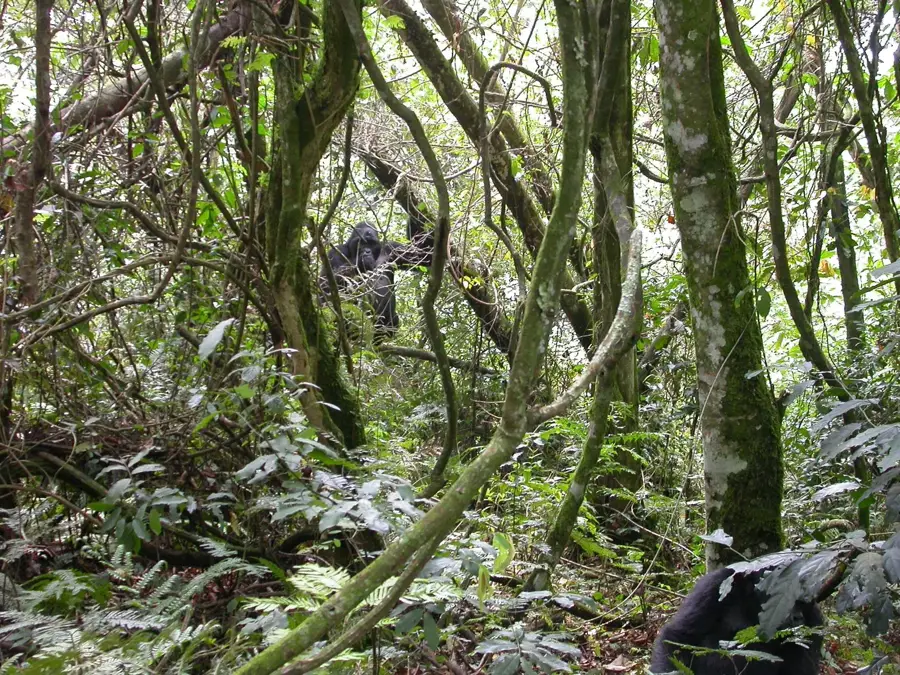
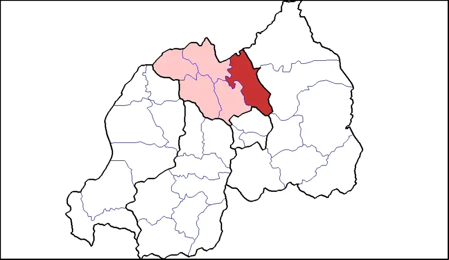
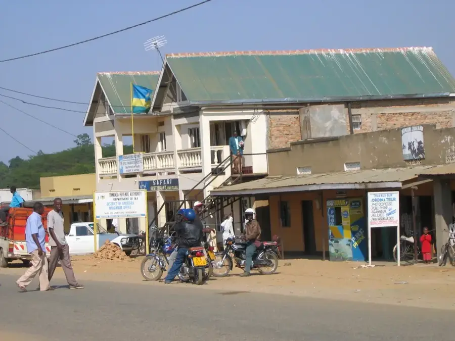
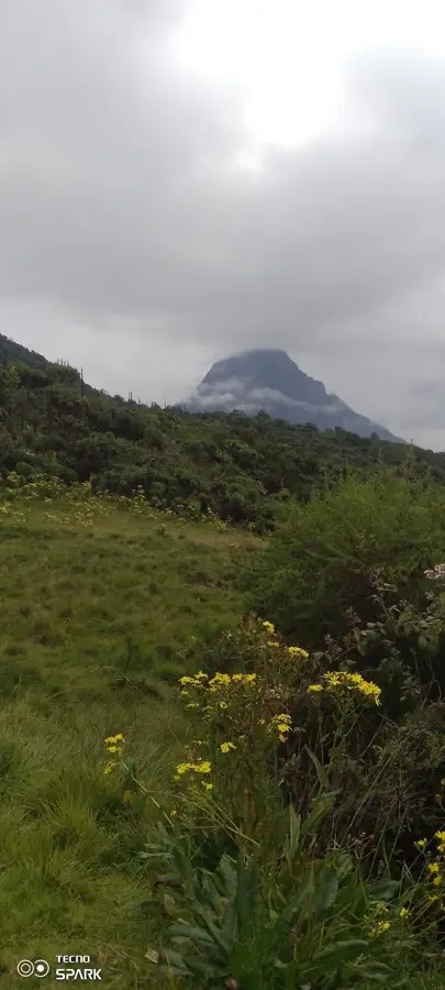
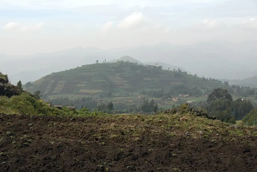
Kabale, often referred to as the 'Switzerland of Africa,' is the administrative capital of Kabale District in the Kigezi sub-region of Southwestern Uganda. Situated at a high altitude of approximately 2,000 meters above sea level, the town is positioned among steep, terraced hills that are a hallmark of the region's intensive agriculture. Its cool climate and misty landscapes make it a favored destination for travelers heading to Lake Bunyonyi or the Bwindi Impenetrable National Park for gorilla trekking. Kabale serves as a major transit and commercial hub on the international highway linking Uganda to Rwanda and the Democratic Republic of the Congo. The economy is driven by the production of temperate crops like potatoes, cabbage, and apples, alongside a thriving tourism sector. Culturally, Kabale is the heartland of the Bakiga people, known for their resilience and distinctive traditional dances. The town is also an academic center, hosting Kabale University and several prominent colleges.
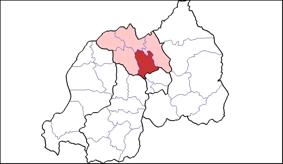
- Location: Uganda
- Nearby: Kisoro (34 km)
- Population: ~53.200 (2024)
Best time to visit & climate
The most pleasant time to visit is Jun–Aug.
| Jan | Feb | Mar | Apr | May | Jun | Jul | Aug | Sep | Oct | Nov | Dec | |
|---|---|---|---|---|---|---|---|---|---|---|---|---|
| Avg °C | 20 | 20 | 20 | 19 | 19 | 19 | 19 | 20 | 20 | 20 | 19 | 19 |
| Rain mm | 74 | 76 | 133 | 140 | 111 | 44 | 37 | 60 | 92 | 129 | 137 | 94 |
Geography
Facts
- Situated at a high elevation of approximately 2,000 meters.
- Located only 22 kilometers from the Katuna border crossing into Rwanda.
- Home to Kabale University, established in 2002 and later turned public.
- The primary gateway for visiting the scenic Lake Bunyonyi.
- Uganda's leading center for the cultivation of Irish potatoes.
- Formerly the headquarters of the larger Kigezi District.
Explore nearby
Notable places around
Route planner — Car & Motorhome
Where do you start? We build the route here, with stops and country notes along the way.
© OpenStreetMap contributors · OpenRouteService
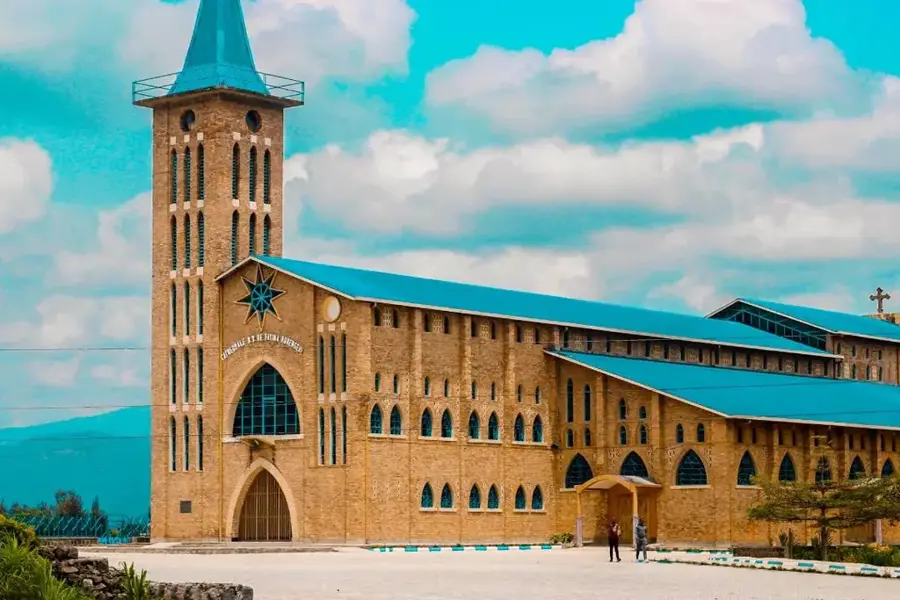
Sights in the town Kabale (1)
Frequently asked questions
Why is Kabale called the 'Switzerland of Africa'?
Is it a good base for gorillas?
What is the weather like there?
What local food must I try?
Is Kabale family-friendly?
Kabale: where is it located?
Kabale: when is the best time to visit?
Kabale: why is it worth visiting?

Nearby cities


History & landmarks
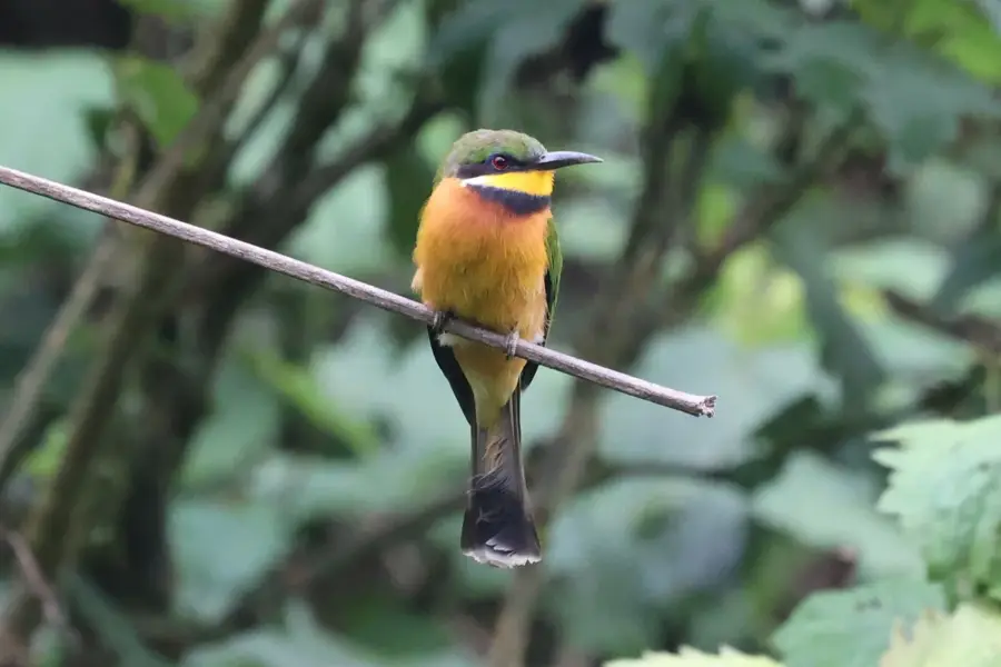
Nature


More places