Plizio Visual Lab
Rukungiri
ℹ️Practical info — Rukungiri
▾
🌤 Weather — 5 days
📍 Nearby
Sights nearby
💡 Tips
- Pack a light jacket or sweater; the high altitude makes Rukungiri evenings surprisingly chilly.
- Greet locals with 'Agandi' (How are you?) in the local Rukiga language to show respect and build rapport.
- Always negotiate the boda-boda fare before starting your journey to avoid overcharging.
- A 4WD vehicle is recommended for exploring the rural outskirts due to the steep and rugged terrain.
- Rukungiri is a cash-based town, so ensure you withdraw enough Shillings before heading to the markets.
🍽 Food
Roasted meat skewers, a popular snack best enjoyed fresh at the Lorrycon Hotel.
A traditional millet-based drink; it comes in both sweet (non-alcoholic) and fermented varieties.
A hearty breakfast of steamed bananas mixed with beans or meat, well-suited for fueling a day of hiking.
🛍 Shopping · 🧘 Quiet spots
The go-to spot for colorful Kitenge fabrics and fresh produce from the surrounding hills.
Look for authentic hand-woven Bakiga baskets, known for their strength and geometric patterns.
The region is a prime coffee producer; buy freshly roasted beans directly from local suppliers.
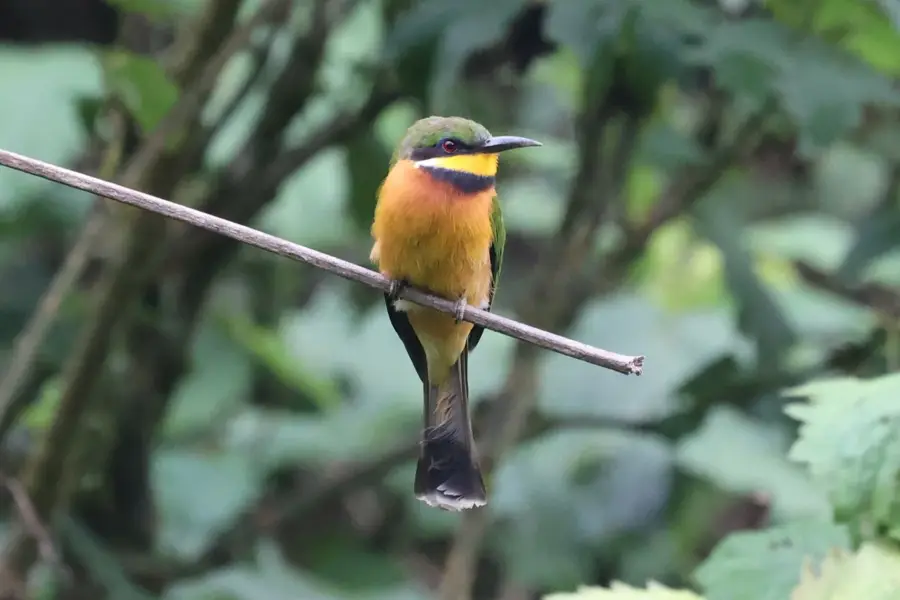
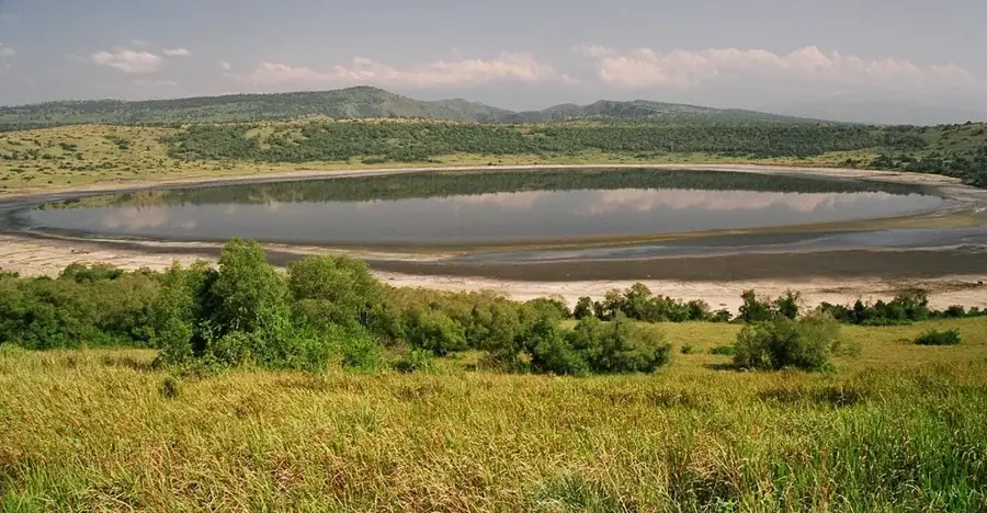
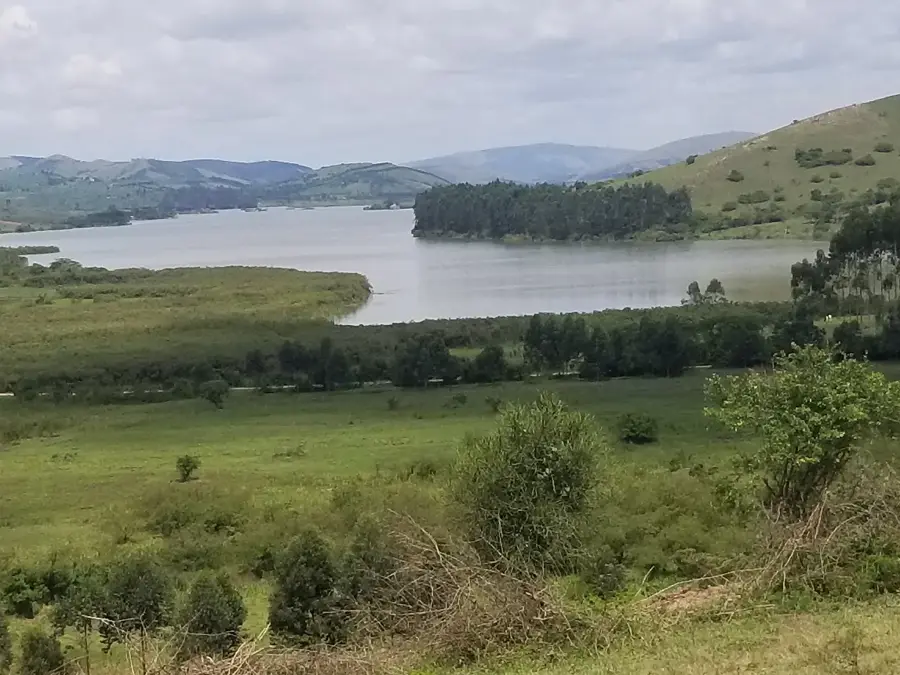
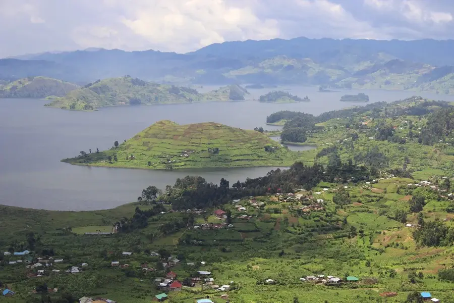
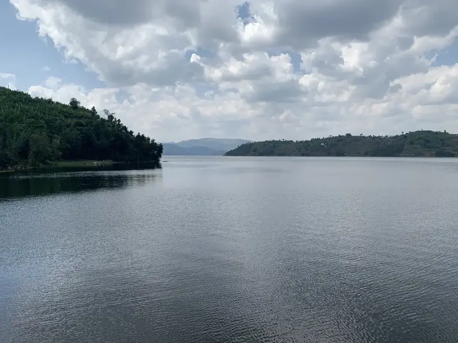
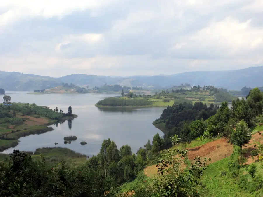
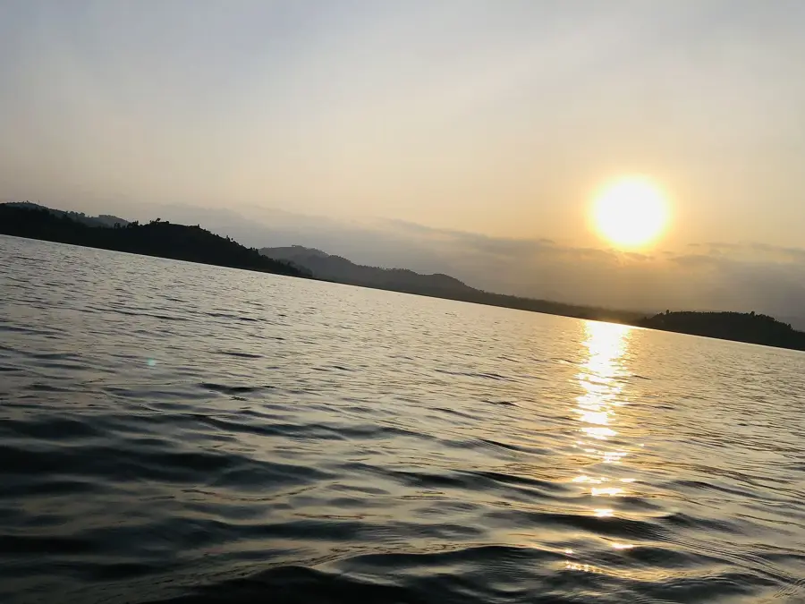
A long, narrow and pristine lake positioned between hills, excellent for quiet reflection and birdwatching.
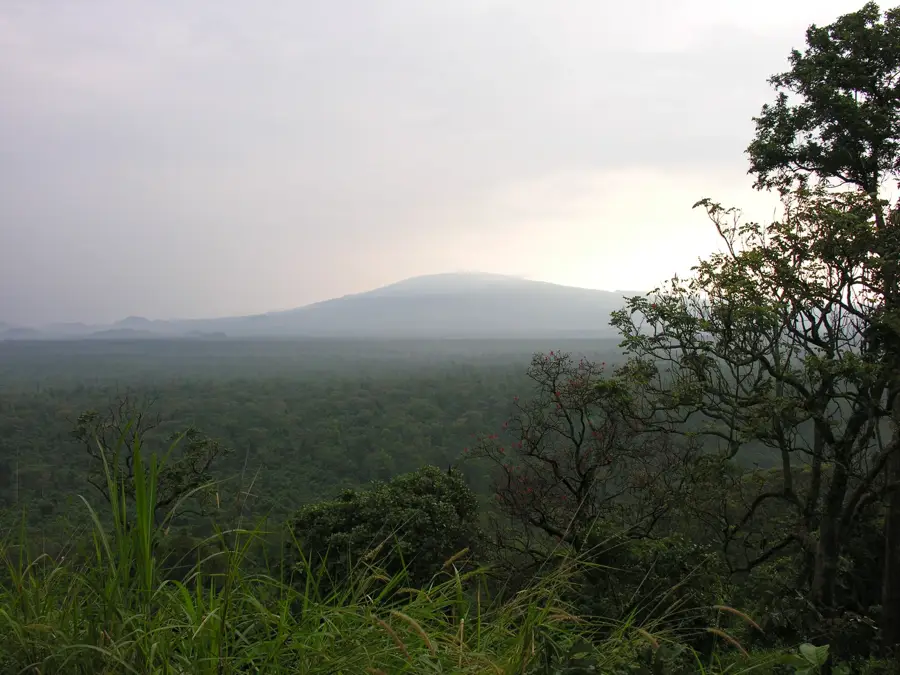
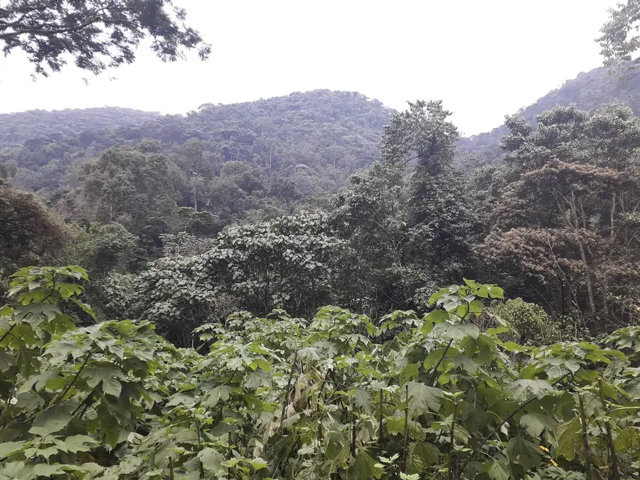
Provides peaceful grasslands and woodlands for nature walks without the crowds of major parks.
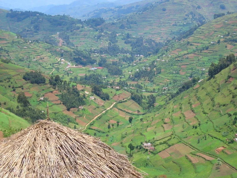
The outskirts of town offer quiet guesthouses and trails with beautiful views of the rolling highlands.
Water temperature…
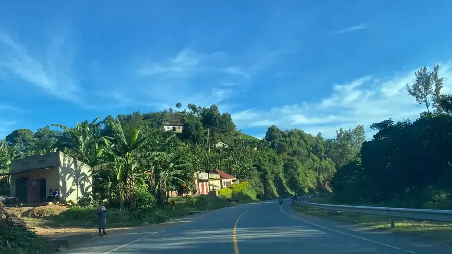
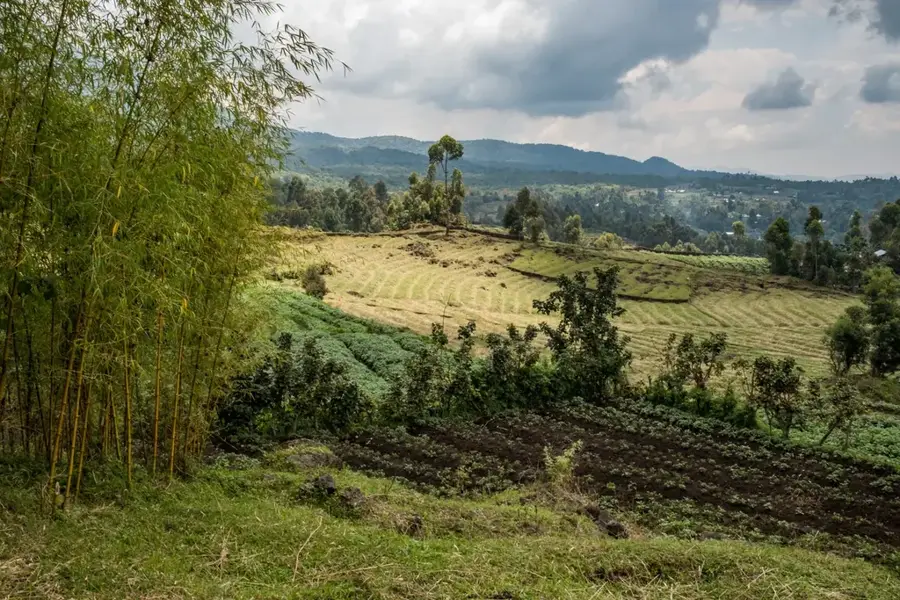
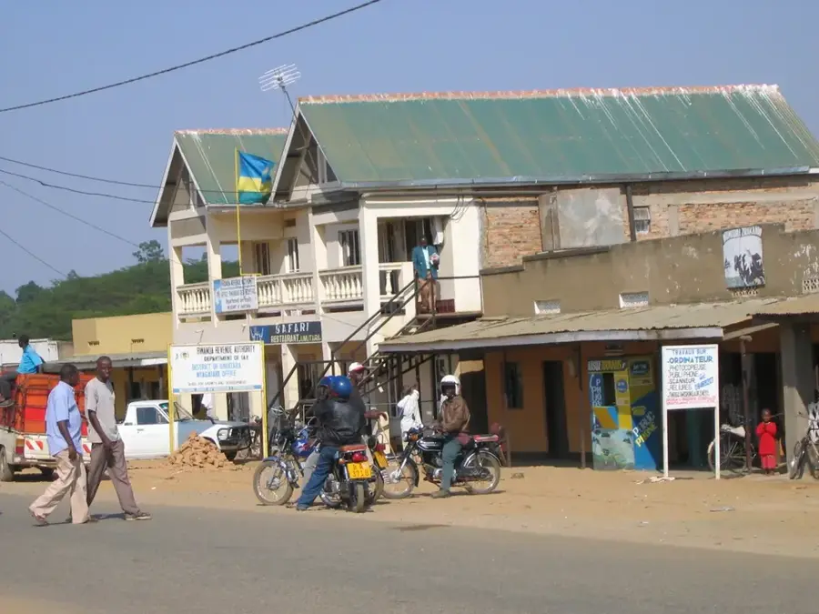
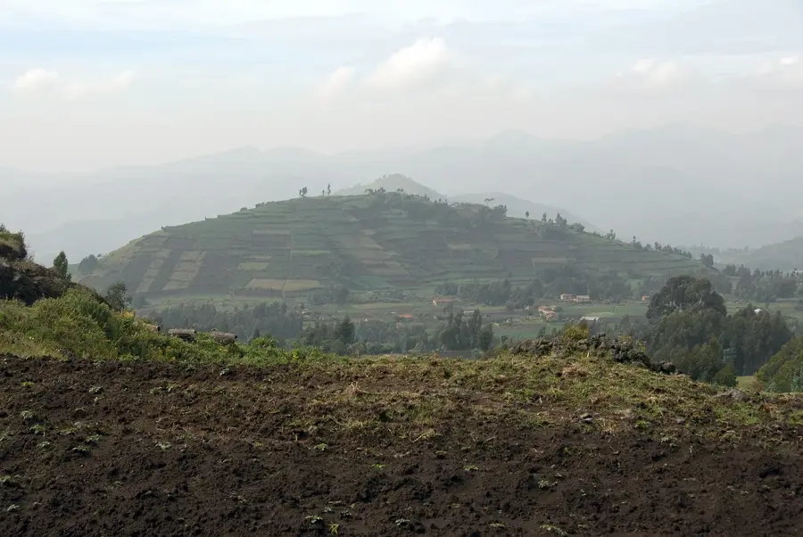
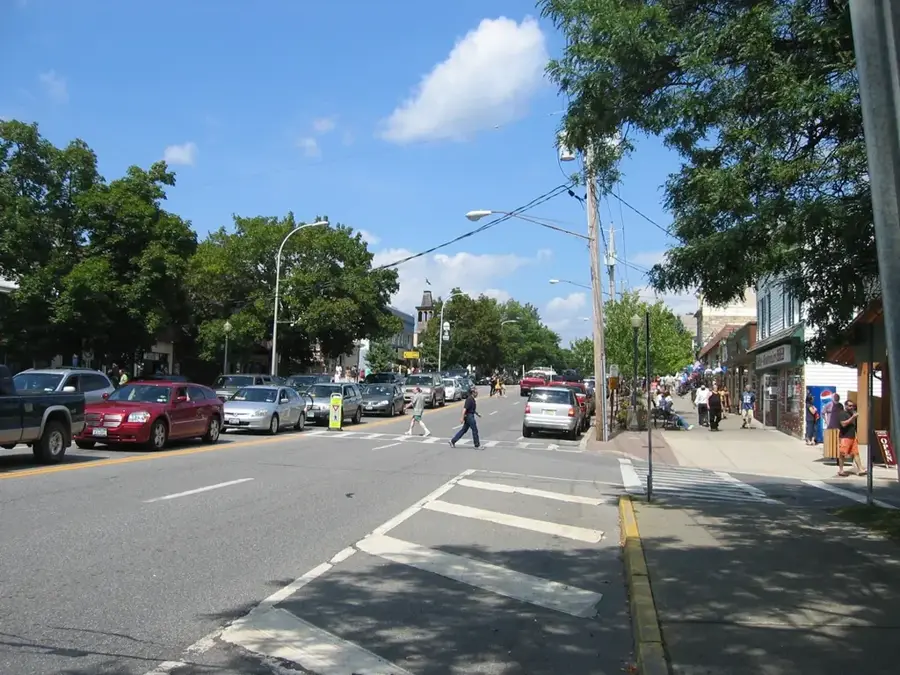
Rukungiri is a bustling town in southwestern Uganda, set amidst a scenic landscape of rolling hills near Queen Elizabeth National Park. The town serves as the administrative capital of Rukungiri District and is noted for its cool highland climate and exceptionally fertile soils. Historically, the district was carved out of parts of Kigezi in 1968 and has since developed into a significant player in regional politics and economics. Agriculture is the town's economic engine, with coffee, tea, and matooke (bananas) being the primary export commodities. Due to its proximity to protected wildlife areas, Rukungiri also serves as a gateway for tourism in the southwest. The town features well-developed infrastructure, including numerous schools and hospitals, making it a regional service hub. The local population is predominantly made up of the Bakiga and Bahororo ethnic groups, whose rich traditions shape the cultural life of the town. Rukungiri remains a vital link between the agricultural heartlands of the west and the markets of Kampala.
- Location: Uganda
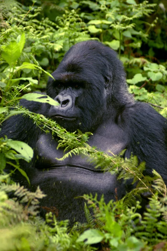
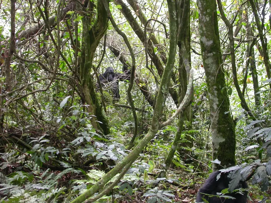
- Nearby: Bwindi Impenetrable National Park (35 km)
- Population: ~37.200 (2024)
Best time to visit & climate
The most pleasant time to visit is Jun–Aug.
| Jan | Feb | Mar | Apr | May | Jun | Jul | Aug | Sep | Oct | Nov | Dec | |
|---|---|---|---|---|---|---|---|---|---|---|---|---|
| Avg °C | 20 | 20 | 20 | 19 | 19 | 19 | 19 | 20 | 20 | 20 | 19 | 19 |
| Rain mm | 74 | 76 | 133 | 140 | 111 | 44 | 37 | 60 | 92 | 129 | 137 | 94 |
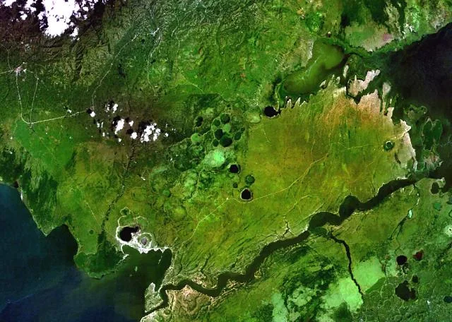
Geography
Facts
- Rukungiri is situated at an elevation of approximately 1,600 meters.
- The town became the district headquarters in 1968.
- Coffee and tea are the leading agricultural exports from the area.
- Queen Elizabeth National Park is located on the district's boundary.
- The town is a prominent center for the Bakiga ethnic group.
- It is located about 400 kilometers by road from the capital, Kampala.
Explore nearby
Notable places around
Route planner — Car & Motorhome
Where do you start? We build the route here, with stops and country notes along the way.
© OpenStreetMap contributors · OpenRouteService
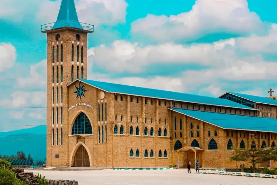
Sights in the town Rukungiri (1)
Frequently asked questions
What activities are there in Rukungiri?
What is the landscape like there?
How do you reach Rukungiri?
Are the roads good?
Are there good restaurants there?
Rukungiri: where is it located?
Rukungiri: when is the best time to visit?
Rukungiri: why is it worth visiting?

Nearby cities
History & landmarks
Nature

More places