Plizio Visual Lab
Kisoro
ℹ️Practical info — Kisoro
▾
🌤 Weather — 5 days
📍 Nearby
Sights nearby
💡 Tips
- Nights can get quite chilly due to the high altitude. Pack a warm sweater.
- Boda-bodas (motorcycle taxis) are the fastest way to get around, but insist on careful driving.
- Visit the Mgahinga Gorilla National Park offices in town to inquire about trekking permits early.
- Bring sturdy shoes as the surrounding roads are often muddy after rain.
🍽 Food
A rolled chapati with an egg omelet. The first-rate quick street food on the go.
The Ugandan classic found in almost every local restaurant near the marketplace.
Roasted meat on a stick. Often sold at street stalls in the evenings.
🛍 Shopping · 🧘 Quiet spots
Buy fresh fruit, hand-woven baskets, and typical Ugandan textiles here.
Downtown there are small shops offering wood carvings made by the local Batwa community.
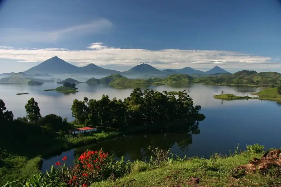
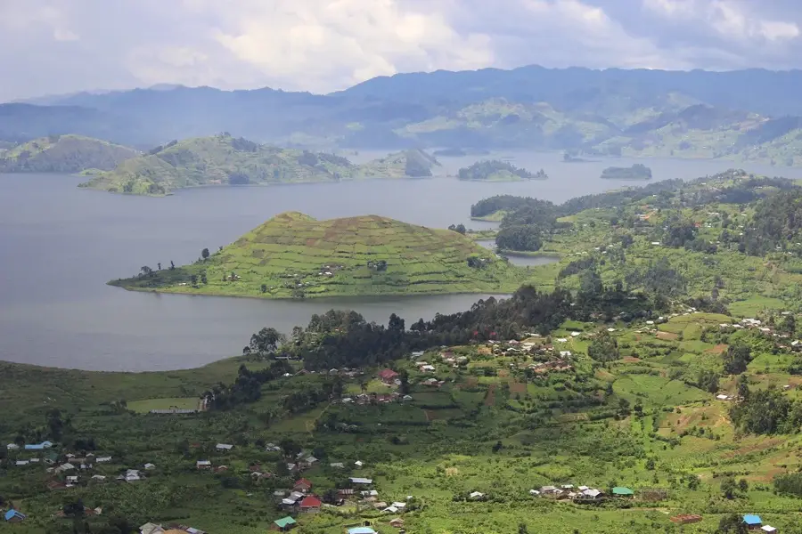
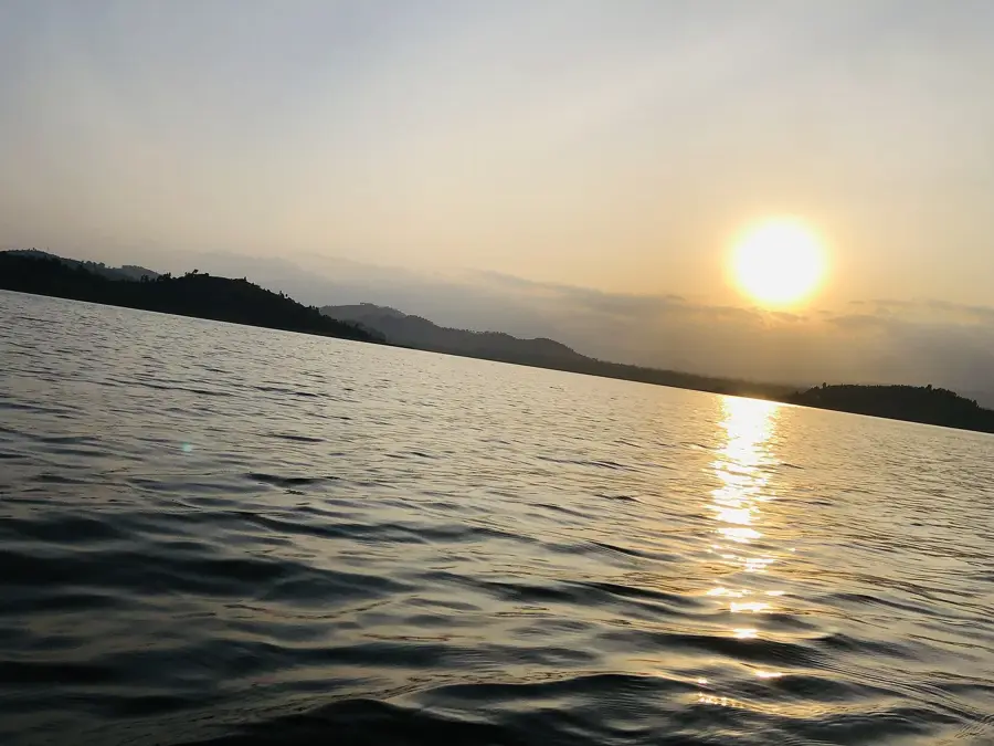
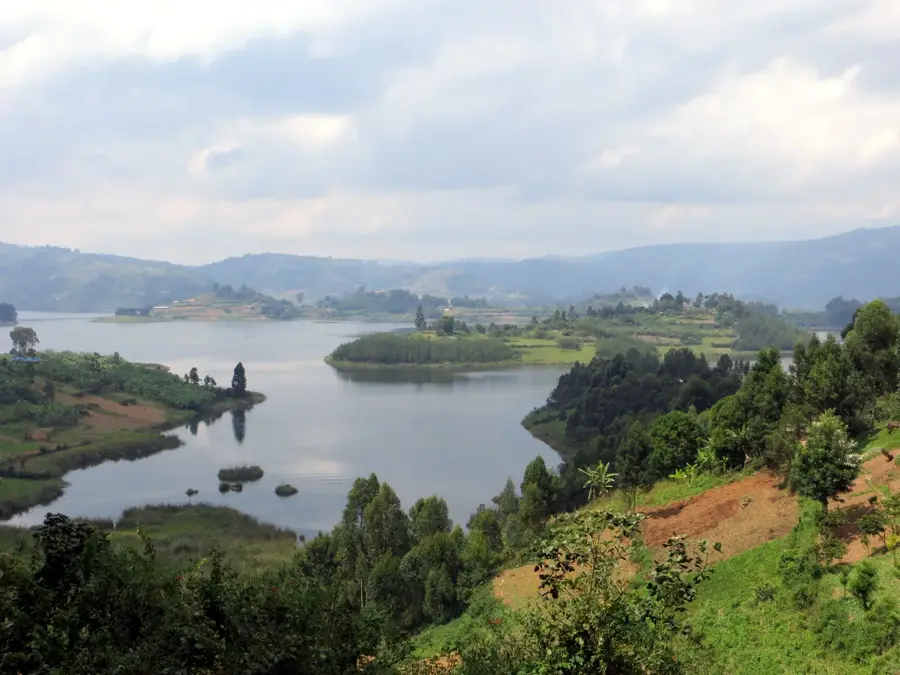
Take a short drive to this crater lake. The view of the Virunga volcanoes is incredibly peaceful.
A smaller, quiet lake excellent for bird watching in complete silence.
Water temperature…
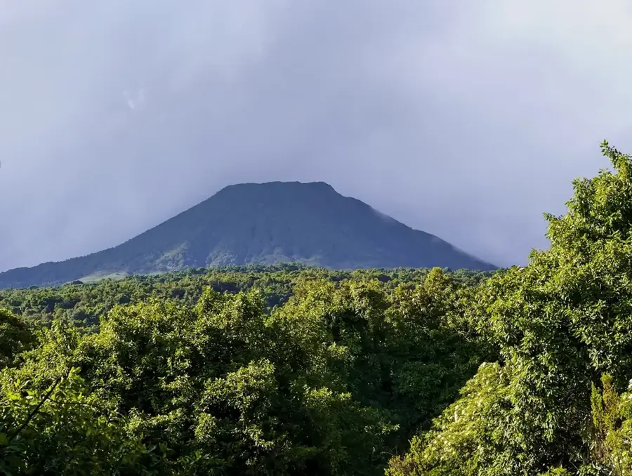
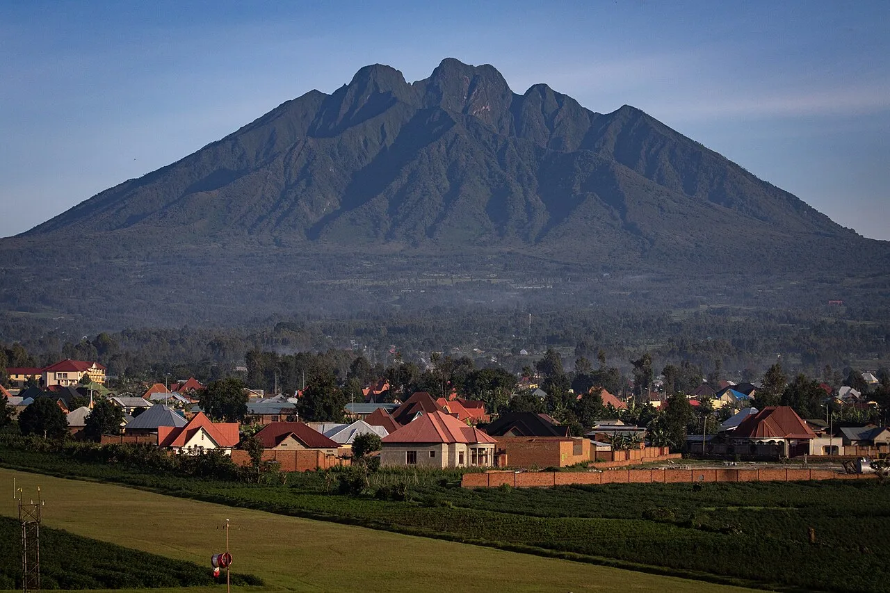
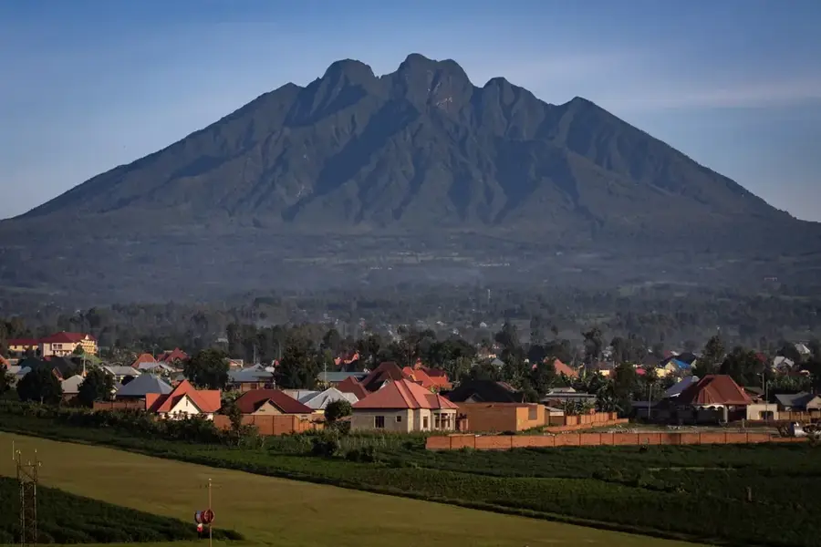
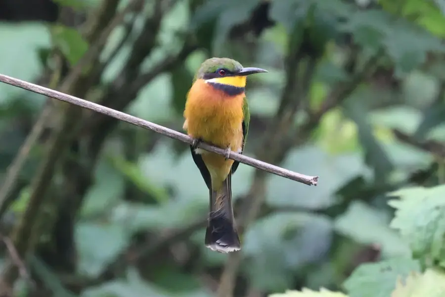
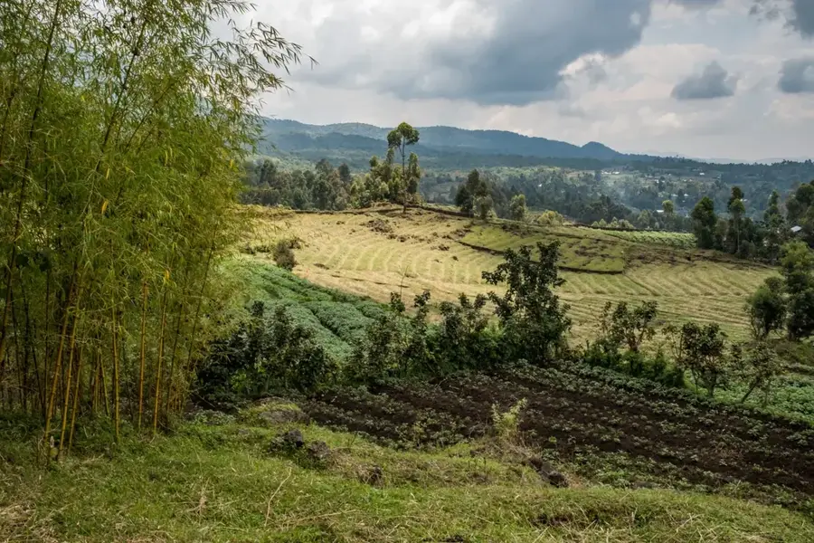
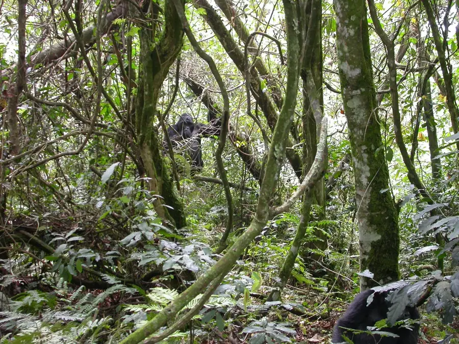
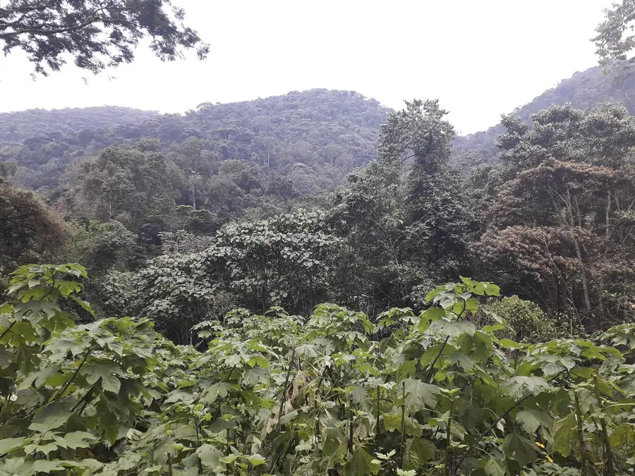
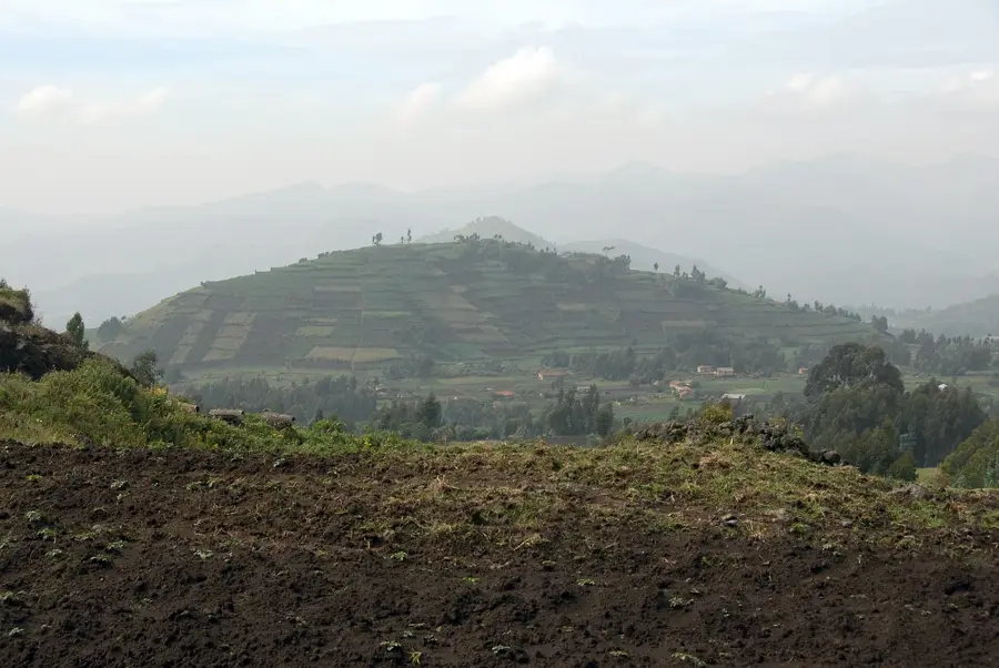
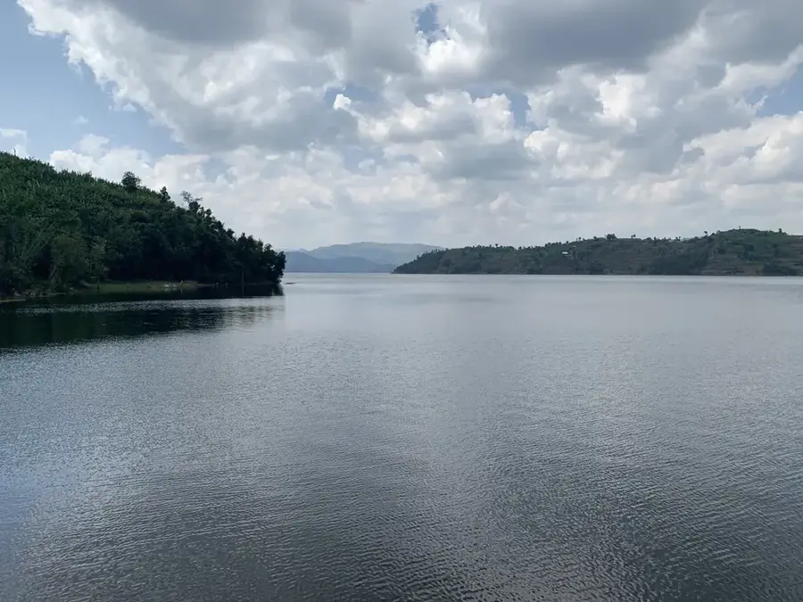
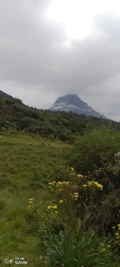
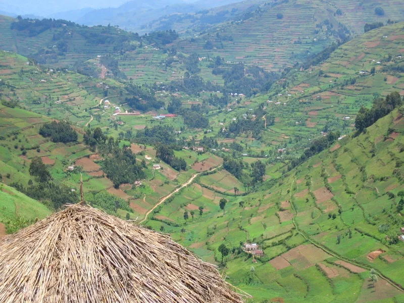
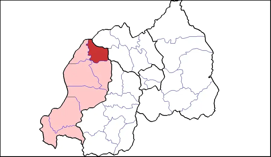
Kisoro is located in the extreme southwestern corner of Uganda at the base of the Virunga Mountains, serving as the capital of Kisoro District. The town is the primary gateway to Mgahinga Gorilla National Park and a major access point for Bwindi Impenetrable National Park, making it a critical hub for international gorilla trekking tourism. Its geography is defined by the towering volcanic peaks of Muhabura, Mgahinga, and Sabinyo, which dominate the local skyline. Benefiting from exceptionally fertile volcanic soils, Kisoro is an agricultural powerhouse, particularly known for its high output of Irish potatoes, beans, and pyrethrum. Its strategic location at the borders of Rwanda and the Democratic Republic of the Congo facilitates significant cross-border trade and cultural exchange. The local population is mainly composed of the Bafumbira people, whose heritage is deeply intertwined with the highland landscapes. The region is also famous for its impressive crater lakes and the scenic Lake Mutanda.
- Location: Uganda
- Nearby: Lake Mutanda (5 km)
- Population: ~17.700 (2024)
Best time to visit & climate
The most pleasant time to visit is Jun–Aug.
| Jan | Feb | Mar | Apr | May | Jun | Jul | Aug | Sep | Oct | Nov | Dec | |
|---|---|---|---|---|---|---|---|---|---|---|---|---|
| Avg °C | 17 | 18 | 18 | 18 | 17 | 17 | 17 | 17 | 18 | 17 | 17 | 17 |
| Rain mm | 127 | 127 | 206 | 183 | 142 | 74 | 45 | 92 | 139 | 190 | 218 | 154 |
Geography
Facts
- The town sits at an elevation of approximately 1,890 meters.
- Gateway to three Virunga volcanoes: Muhabura, Mgahinga, and Sabinyo.
- Key border post for Rwanda (Cyanika) and DR Congo (Bunagana).
- Kisoro District was formally established in 1991.
- The area is home to the rare and endangered Golden Monkey.
- The scenic Lake Mutanda is located just a few kilometers north.
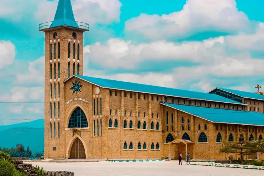
Explore nearby
Notable places around
Route planner — Car & Motorhome
Where do you start? We build the route here, with stops and country notes along the way.
© OpenStreetMap contributors · OpenRouteService
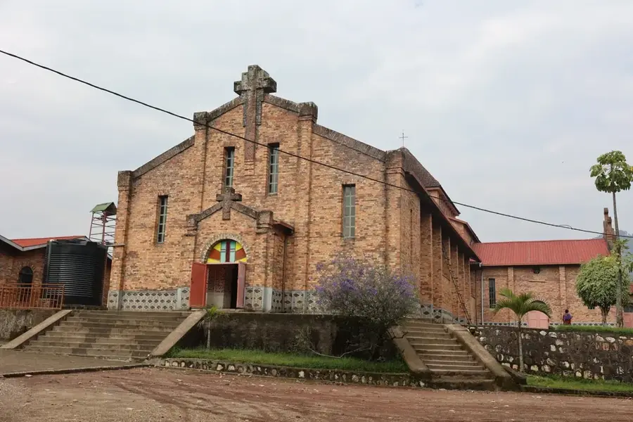
Sights in the town Kisoro (1)
Frequently asked questions
What makes Kisoro a top destination?
What is the climate like there?
Do I need special clothing?
Is Kisoro safe?
Are there accommodations there?
Kisoro: where is it located?
Kisoro: when is the best time to visit?
Kisoro: why is it worth visiting?

Nearby cities
History & landmarks
Nature


More places