Plizio Visual Lab
Mount Muhabura
Weather…
Water temperature…
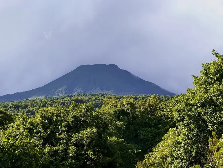
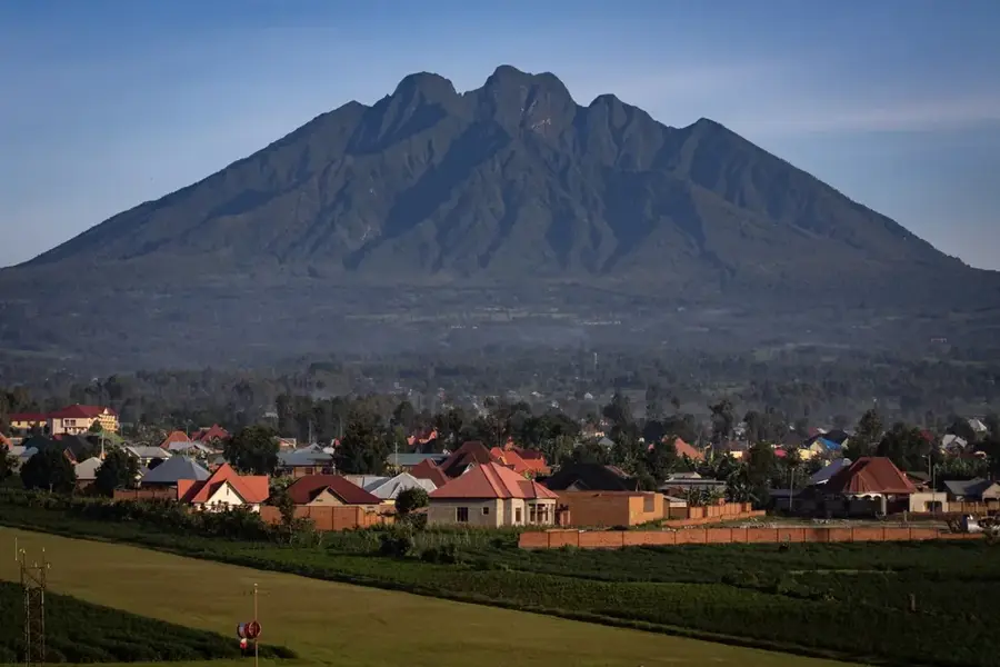
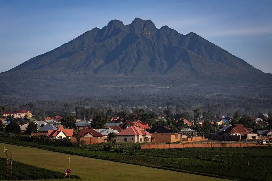
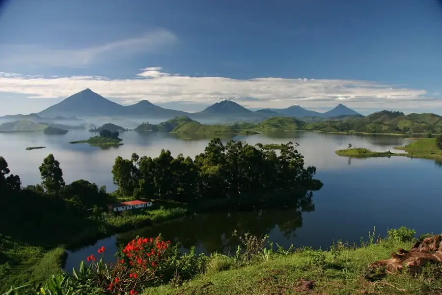
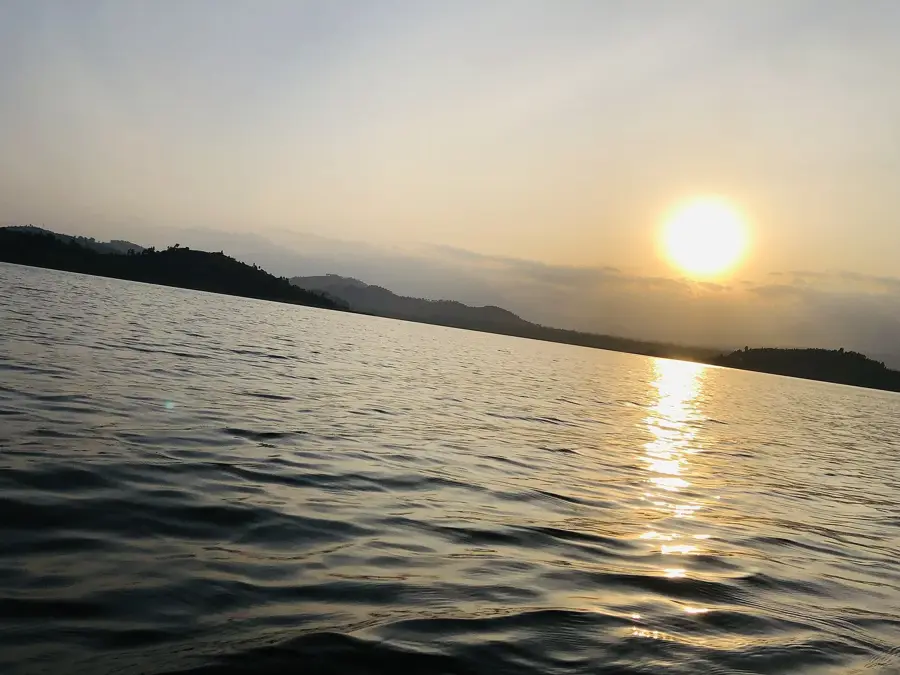
Mount Muhabura, also known as Muhavura, is an extinct stratovolcano in the Virunga Mountains on the border between Rwanda and Uganda. Standing at 4,127 meters, it is the third highest peak in the range and provides expansive views across both nations. Its name translates to 'The Guide' in the local Kinyarwanda language, reflecting its historical use as a landmark for travelers. At the summit, a small crater lake approximately 40 meters in diameter exists, retaining water year-round despite the high altitude. The slopes feature classic Afro-alpine vegetation, including giant groundsels and lobelias in the upper reaches. The mountain is shared between Rwanda's Volcanoes National Park and Uganda's Mgahinga Gorilla National Park.
- Location: Rwanda
- Nearby: Kinigi (11 km)
Best time to visit & climate
The most pleasant time to visit is Jun–Aug.
| Jan | Feb | Mar | Apr | May | Jun | Jul | Aug | Sep | Oct | Nov | Dec | |
|---|---|---|---|---|---|---|---|---|---|---|---|---|
| Avg °C | 17 | 18 | 18 | 18 | 17 | 17 | 17 | 17 | 18 | 17 | 17 | 17 |
| Rain mm | 127 | 127 | 206 | 183 | 142 | 74 | 45 | 92 | 139 | 190 | 218 | 154 |
📋 Practical info
Geography
Facts
- The summit reaches an elevation of 4,127 meters.
- Features a small crater lake about 40 meters wide at the top.
- Ranked as the third highest peak in the Virunga range.
- The name translates to 'The Guide' in local Kinyarwanda.
- Straddles the international border of Rwanda and Uganda.
- Home to unique high-altitude flora like giant lobelias.
Explore nearby
Notable places around
Route planner — Car & Motorhome
Where do you start? We build the route here, with stops and country notes along the way.
© OpenStreetMap contributors · OpenRouteService
Sights nearby
Frequently asked questions
Is the Muhabura volcano suitable for beginners?
What makes the Muhabura special?
Is special equipment needed?
Can the summit be visited all year round?
How far in advance should one book?
Mount Muhabura: where is it located?
Mount Muhabura: when is the best time to visit?
Mount Muhabura: why is it worth visiting?

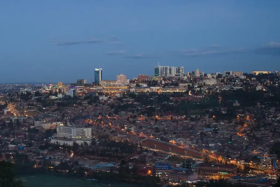
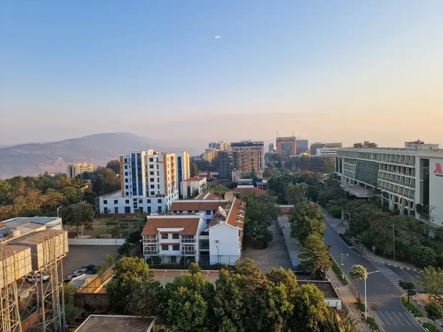
Nearby cities

History & landmarks
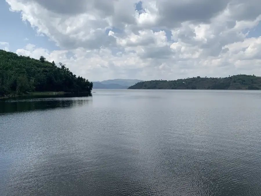
Nature

More places