Plizio Visual Lab
Mount Gahinga
Weather…
Water temperature…
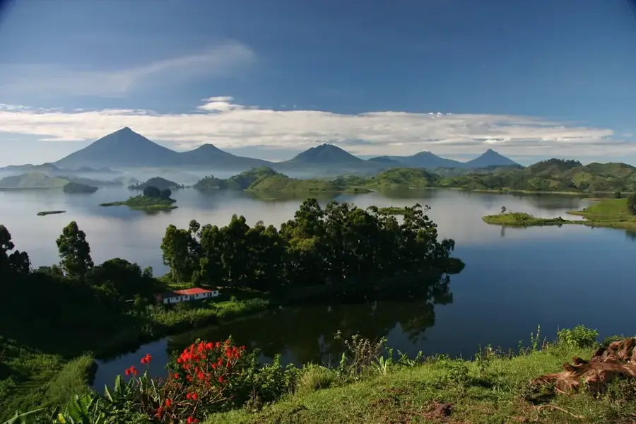
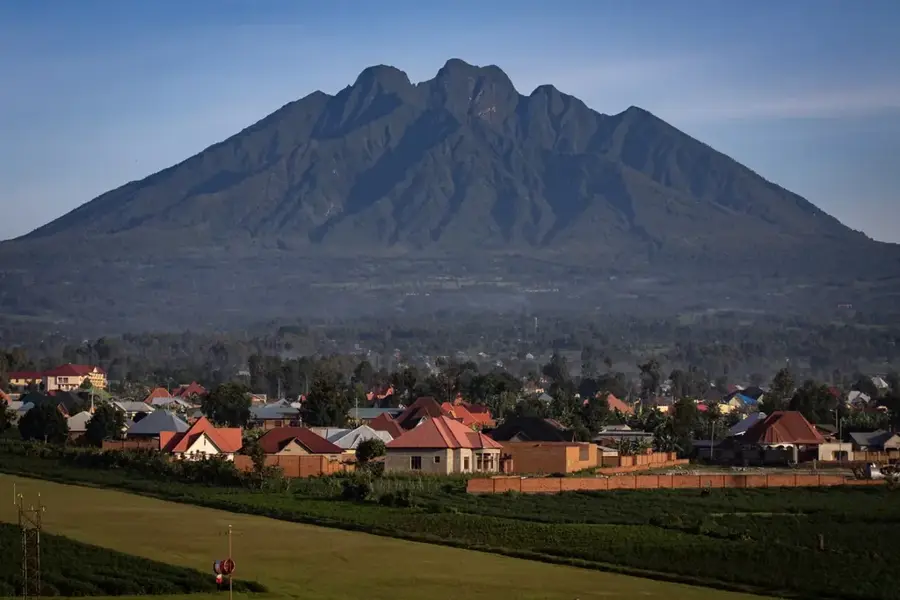
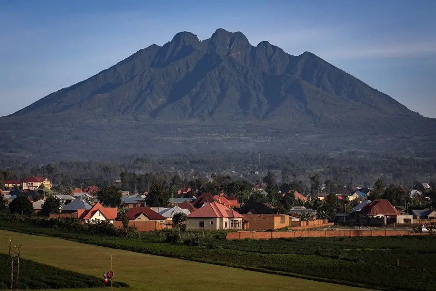
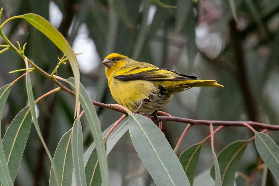
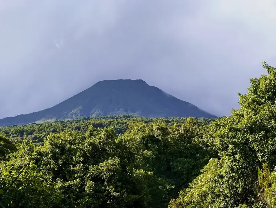
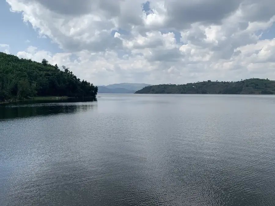
Mount Gahinga is a dormant volcano in the Virunga Mountains, on the border between Uganda and Rwanda, west of Mount Muhavura. At 3,474 meters, it is the smallest of the three volcanoes within Mgahinga Gorilla National Park. The name 'Gahinga' means 'small pile of stones' in the local Rufumbira language, an apt description of the volcano's conical shape. Its summit features a swampy crater about 180 meters across. The vegetation on its slopes consists of bamboo forests at lower altitudes, transitioning to Afro-alpine moorland and heath. These slopes are an important habitat for the critically endangered mountain gorilla, as well as the rare golden monkey. Mgahinga Gorilla National Park, where the volcano is located, was established in 1991 to protect these species. The climb up Gahinga is relatively easy compared to its neighbors, Sabyinyo and Muhavura, and provides a good opportunity to experience the unique Afro-alpine flora.
- Location: Rwanda
- Top sights: Mount Muhabura · Mgahinga Gorilla National Park
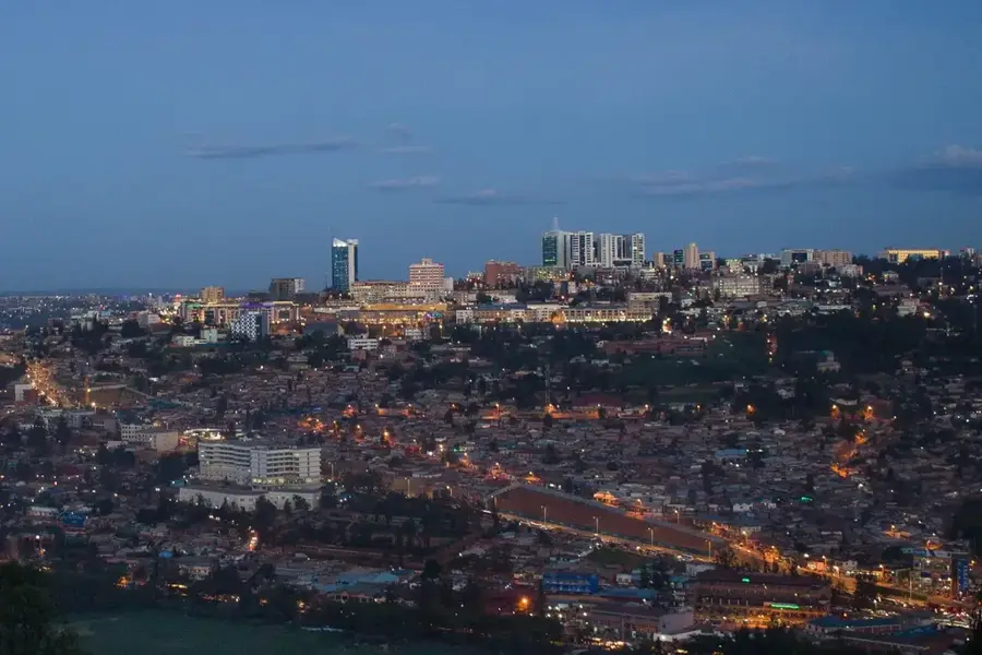
- Nearby: Kinigi (8 km)
Best time to visit & climate
The most pleasant time to visit is Jun–Aug.
| Jan | Feb | Mar | Apr | May | Jun | Jul | Aug | Sep | Oct | Nov | Dec | |
|---|---|---|---|---|---|---|---|---|---|---|---|---|
| Avg °C | 17 | 18 | 18 | 18 | 17 | 17 | 17 | 17 | 18 | 17 | 17 | 17 |
| Rain mm | 127 | 127 | 206 | 183 | 142 | 74 | 45 | 92 | 139 | 190 | 218 | 154 |
📋 Practical info
Geography
Facts
- The summit of Mount Gahinga is at 3,474 meters.
- Its name means 'small pile of stones' in the Rufumbira language.
- The crater at the summit is a swamp 180 meters across.
- It is one of three volcanoes in Mgahinga Gorilla National Park.
- The park was established in 1991 to protect mountain gorillas.
- Its slopes are a habitat for the rare golden monkey.
Explore nearby
Notable places around
Route planner — Car & Motorhome
Where do you start? We build the route here, with stops and country notes along the way.
© OpenStreetMap contributors · OpenRouteService
Sights in the town Mount Gahinga (2)
Sights nearby
Frequently asked questions
What is special about the Gahinga?
How difficult is the climb?
Do I need to buy a permit?
Are there accommodation options at the volcano?
Can the volcano be climbed all year round?
Mount Gahinga: where is it located?
Mount Gahinga: what is there to see?
Mount Gahinga: when is the best time to visit?
Mount Gahinga: why is it worth visiting?

Nearby cities

History & landmarks
Nature

More places