Plizio Visual Lab
Ruwenzori Foothills
Weather…
Water temperature…
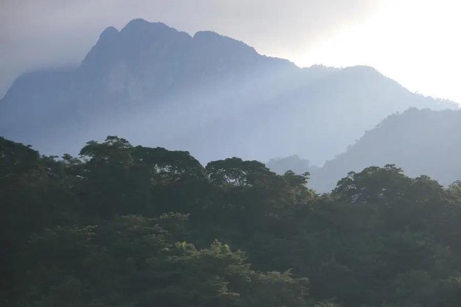
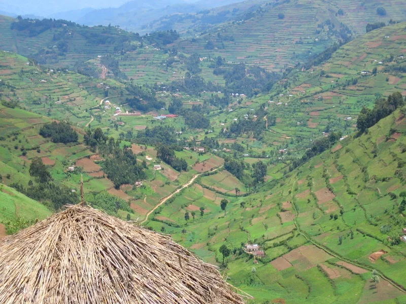
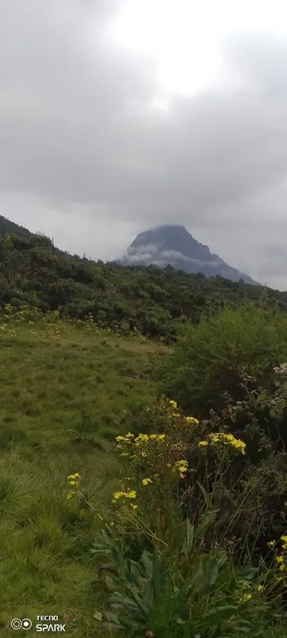
The Ruwenzori foothills form a gentle transition to the majestic "Mountains of the Moon," which rise along the border between Uganda and the Democratic Republic of the Congo. In the lower regions, which partly touch Tanzanian areas of influence, dense mountain rainforests and fertile volcanic soils dominate. These foothills are a vital water reservoir for the entire region, feeding numerous streams that ultimately flow into the White Nile system. The local population utilizes hanging gardens and terraces for cultivating bananas, coffee, and tea, which visually defines the landscape. Geologically, the foothills are part of a massive horst block raised by tectonic activity during the formation of the Great African Rift Valley. Biodiversity is particularly high here, as many species migrate from high mountain regions to the warmer foothills. Since 1994, the core area of the mountains has been a UNESCO World Heritage site, with the foothills serving as an important buffer zone for preserving glaciers and mountain forests.
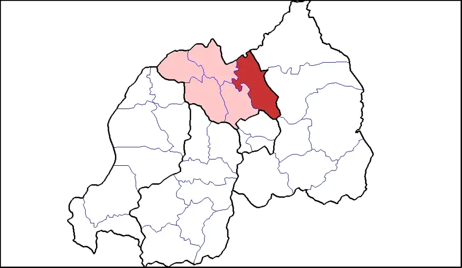
- Location: Tanzania
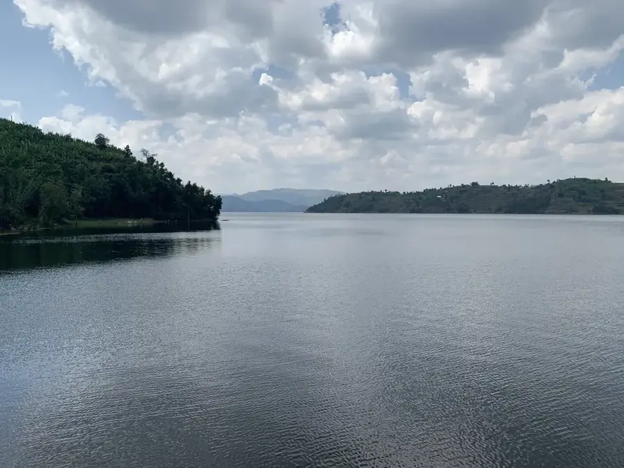
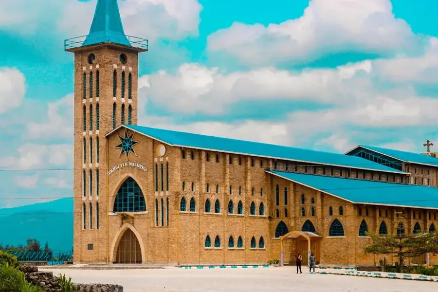
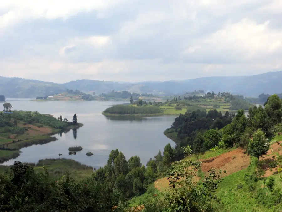
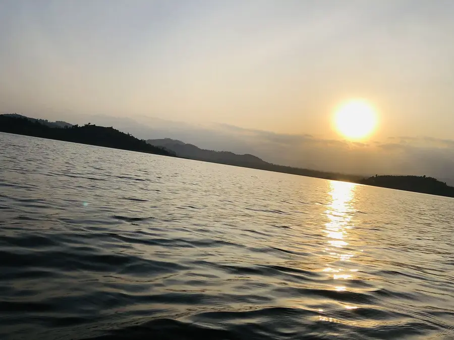
- Top sights: Bird Watchtower · Boat Lake Nyagafunzo
Best time to visit & climate
The most pleasant time to visit is Jun–Aug.
| Jan | Feb | Mar | Apr | May | Jun | Jul | Aug | Sep | Oct | Nov | Dec | |
|---|---|---|---|---|---|---|---|---|---|---|---|---|
| Avg °C | 18 | 19 | 18 | 18 | 17 | 17 | 17 | 17 | 18 | 18 | 18 | 18 |
| Rain mm | 100 | 108 | 173 | 193 | 164 | 67 | 46 | 75 | 113 | 160 | 176 | 126 |
📋 Practical info
Geography
Facts
- The highest summit in the Ruwenzori range is Margherita Peak at 5,109 meters.
- The mountains were designated a UNESCO World Heritage site in 1994.
- The Ruwenzori Mountains are often identified with the ancient 'Mountains of the Moon'.
- They constitute one of the most critical sources of the White Nile.
- The range was formed about 3 million years ago due to tectonic uplift.
- Despite being on the equator, there are still glaciers in the high elevations.
Explore nearby
Notable places around
Route planner — Car & Motorhome
Where do you start? We build the route here, with stops and country notes along the way.
© OpenStreetMap contributors · OpenRouteService
Sights in the town Ruwenzori Foothills (2)
Sights nearby
Frequently asked questions
Is hiking in the Ruwenzori foothills difficult?
Are there special plants there?
What equipment do I need?
When does it rain the most?
Is the area safe?
Ruwenzori Foothills: where is it located?
Ruwenzori Foothills: what is there to see?
Ruwenzori Foothills: when is the best time to visit?
Ruwenzori Foothills: why is it worth visiting?

Nearby cities


History & landmarks
Nature

More places