Plizio Visual Lab
Mount Muhavura
Weather…
Water temperature…
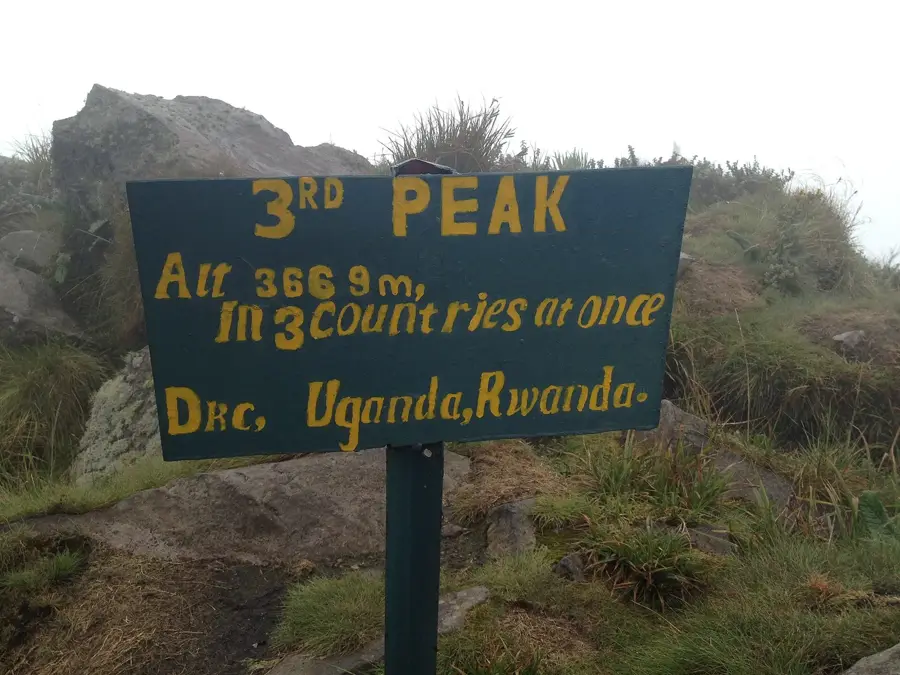
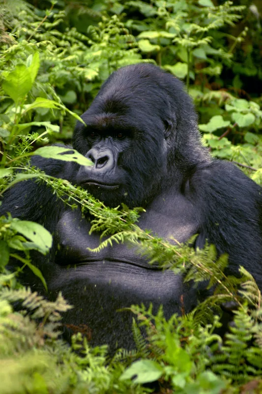
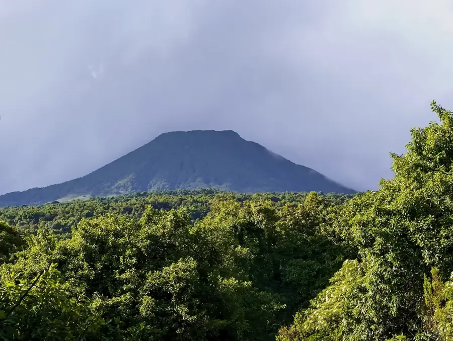
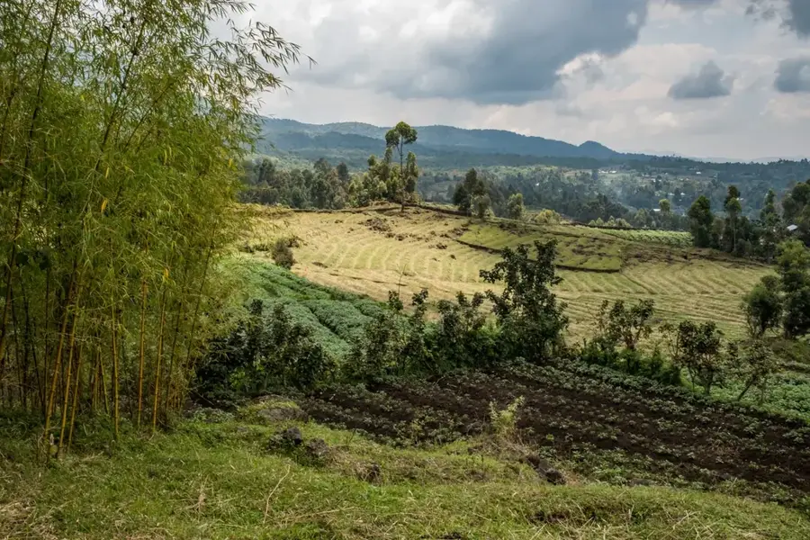
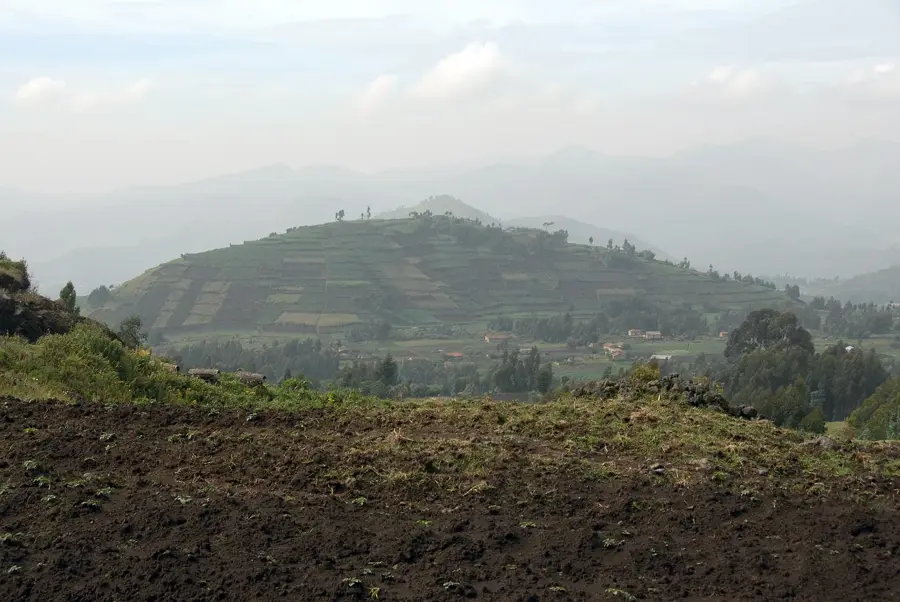
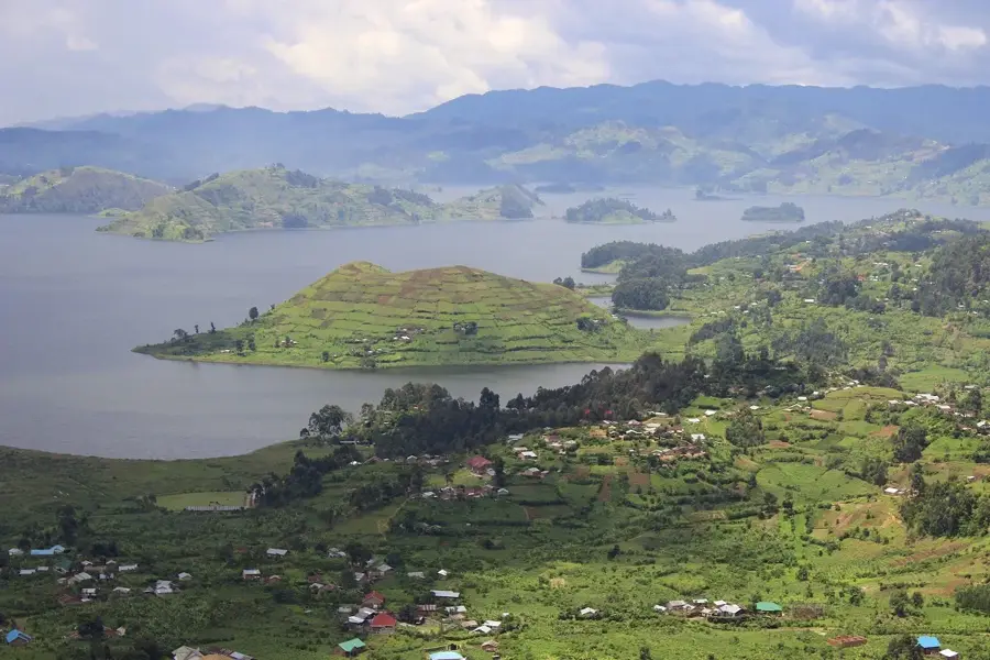
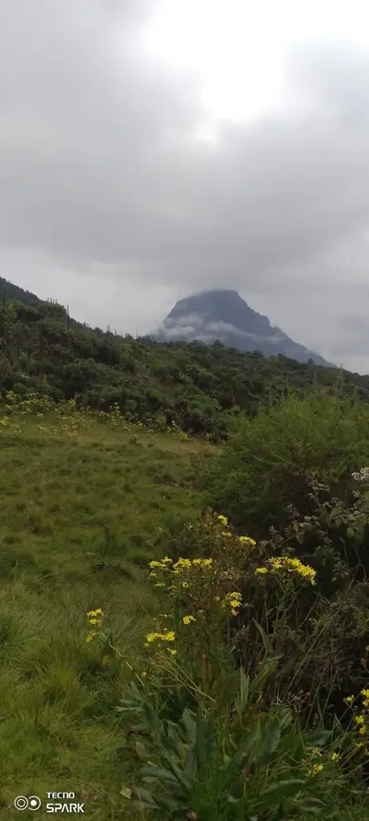
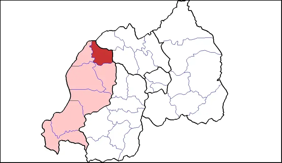
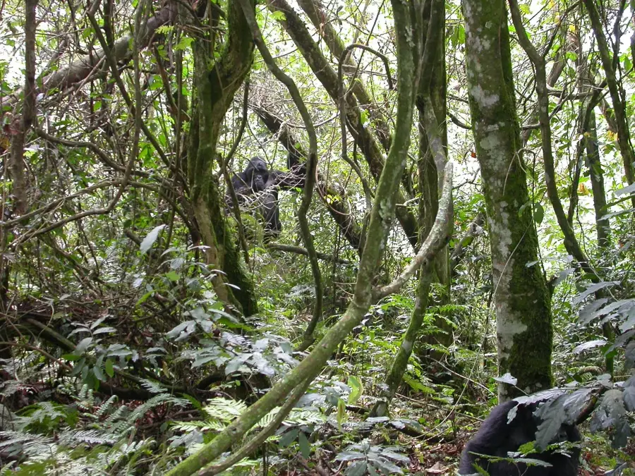
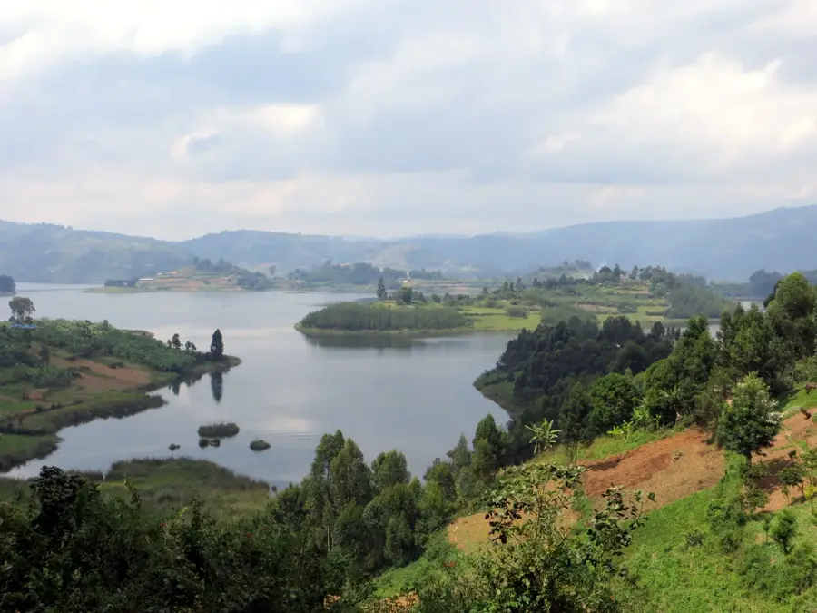
Mount Muhavura, also known as Muhabura, is an extinct volcano in the Virunga Mountains on the border between Uganda and Rwanda. At 4,127 meters, it is the third highest of the eight major volcanoes in the Virunga chain and the highest point in Uganda's Mgahinga Gorilla National Park. Its name means 'The Guide' in the local Kinyarwanda language, likely due to its perfectly conical peak being visible from far away, serving as a landmark. The volcano has a small crater lake, about 40 meters in diameter, at its summit. Mount Muhavura is geologically younger than its neighbors, Gahinga and Sabyinyo. Its slopes are steep and covered with diverse vegetation, ranging from montane forests to sub-alpine heath. The mountain is an important habitat for mountain gorillas and other wildlife. The challenging but rewarding climb of Muhavura provides dramatic panoramic views on clear days, encompassing the other Virunga volcanoes, Lake Edward, and Bwindi Impenetrable National Park.
- Location: Uganda
- Top sights: ngarama batwa cave · Uganda Wildlife Authority
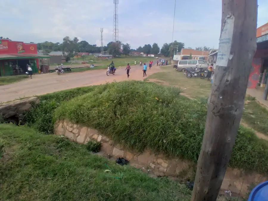
- Nearby: Kisoro (7 km)
Best time to visit & climate
The most pleasant time to visit is Jun–Aug.
| Jan | Feb | Mar | Apr | May | Jun | Jul | Aug | Sep | Oct | Nov | Dec | |
|---|---|---|---|---|---|---|---|---|---|---|---|---|
| Avg °C | 17 | 18 | 18 | 18 | 17 | 17 | 17 | 17 | 18 | 17 | 17 | 17 |
| Rain mm | 127 | 127 | 206 | 183 | 142 | 74 | 45 | 92 | 139 | 190 | 218 | 154 |
📋 Practical info
Geography
Facts
- The summit of Mount Muhavura reaches 4,127 meters in elevation.
- Its name means 'The Guide' in the Kinyarwanda language.
- It has a 40-meter diameter crater lake at its summit.
- It is the easternmost volcano of the Virunga chain.
- The volcano forms part of the border between Rwanda and Uganda.
- Its last eruption is thought to have occurred in the Holocene.
Explore nearby
Notable places around
Route planner — Car & Motorhome
Where do you start? We build the route here, with stops and country notes along the way.
© OpenStreetMap contributors · OpenRouteService
Sights in the town Mount Muhavura (2)
Sights nearby
Frequently asked questions
How strenuous is the hike?
Do I need a permit?
Is there a best season?
What do I see from the summit?
Do I need a guide?
Mount Muhavura: where is it located?
Mount Muhavura: what is there to see?
Mount Muhavura: when is the best time to visit?
Mount Muhavura: why is it worth visiting?

Nearby cities
History & landmarks
Nature


More places