Plizio Visual Lab
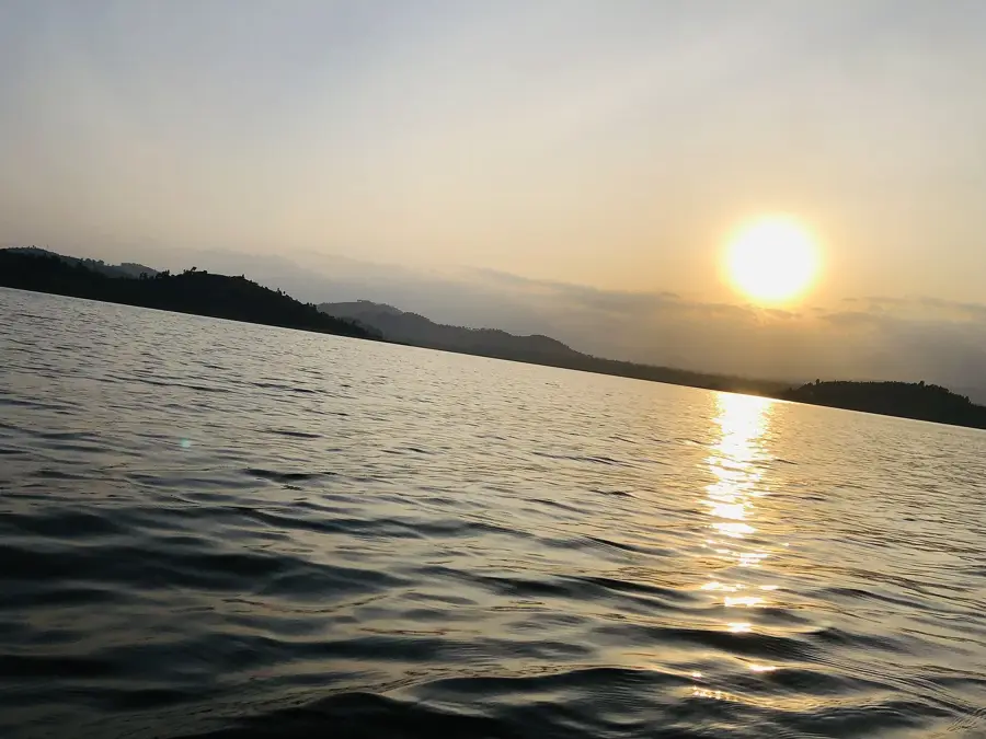
Lake Burera
Weather…
Water temperature…
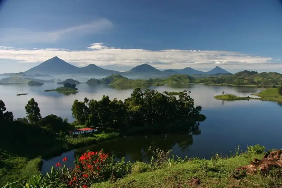
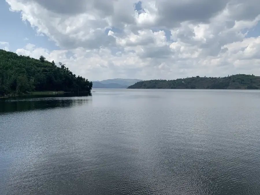
Lake Burera is situated in northernmost Rwanda, near the Ugandan border, and is celebrated for its spectacular setting amidst steep volcanic slopes. Along with its smaller neighbor, Lake Ruhondo, it is frequently referred to as one of the 'Twin Lakes.' These lakes were formed by volcanic activity from the Virunga Mountains, specifically when ancient lava flows blocked the original drainage route of the Nyabarongo River. The lake sits at a high elevation of approximately 1,862 meters above sea level and is surrounded by intricately terraced hills where local communities practice intensive subsistence farming. The deep blue waters of the lake serve as a critical site for hydroelectric power generation through the Ntaruka power station, which provides electricity to the northern region. Several small islands within the lake provide nesting sites for various bird species and are typically accessible only by traditional dugout canoes. The relative isolation of the lake has helped preserve its pristine natural beauty and the traditional lifestyles of the local fishing communities. Recently, the area has seen a growth in eco-tourism, focusing on hiking and cultural boat tours.
- Location: Rwanda
- Nearby: Burera (6 km)
Best time to visit & climate
The most pleasant time to visit is Jun–Aug.
| Jan | Feb | Mar | Apr | May | Jun | Jul | Aug | Sep | Oct | Nov | Dec | |
|---|---|---|---|---|---|---|---|---|---|---|---|---|
| Avg °C | 18 | 19 | 18 | 18 | 17 | 17 | 17 | 17 | 18 | 18 | 18 | 18 |
| Rain mm | 100 | 108 | 173 | 193 | 164 | 67 | 46 | 75 | 113 | 160 | 176 | 126 |
📋 Practical info
Geography
Facts
- Lake Burera is located at an elevation of 1,862 meters.
- The lake covers a surface area of approximately 55 square kilometers.
- The Ntaruka hydroelectric station was commissioned in the 1950s.
- The lake reaches depths of over 100 meters.
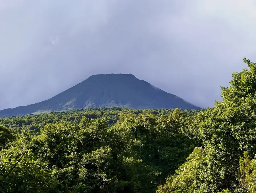
- The shoreline offers clear views of the Muhabura volcano.
- There are several inhabited islands in the lake, such as Cyuza Island.
Explore nearby
Notable places around
Route planner — Car & Motorhome
Where do you start? We build the route here, with stops and country notes along the way.
© OpenStreetMap contributors · OpenRouteService
Sights in the town Lake Burera (1)
Sights nearby
Frequently asked questions
What is the best time to visit Lake Burera?
How difficult is it to hike to the lake shore?
Are there parking facilities nearby?
Are restrooms or restaurants available at the lake?
Should one expect sudden weather changes?
Lake Burera: where is it located?
Lake Burera: when is the best time to visit?
Lake Burera: why is it worth visiting?

Nearby cities

History & landmarks
Nature

More places