Plizio Visual Lab
Kigezi Highlands

Weather…
Water temperature…
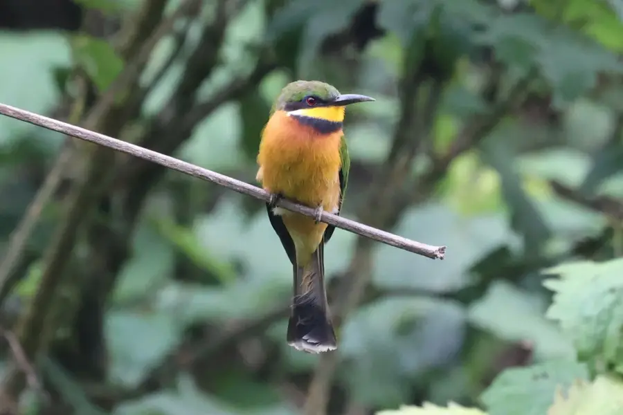
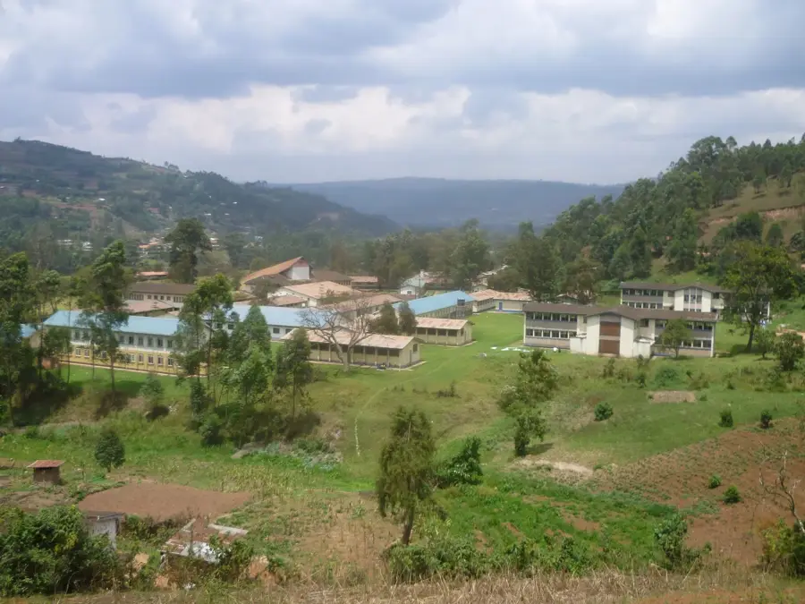
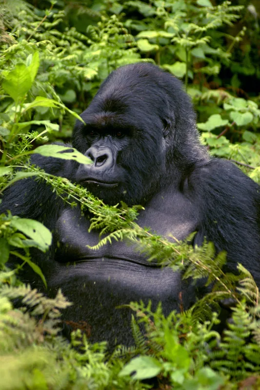
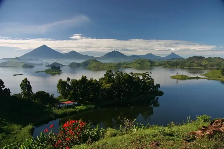
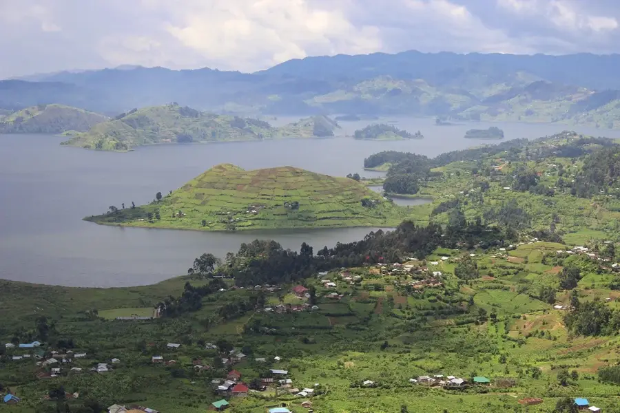
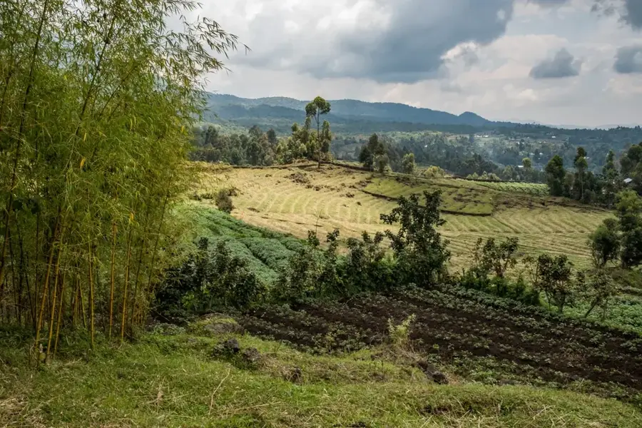
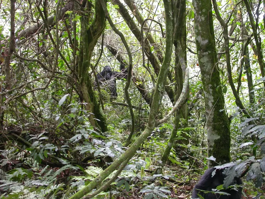
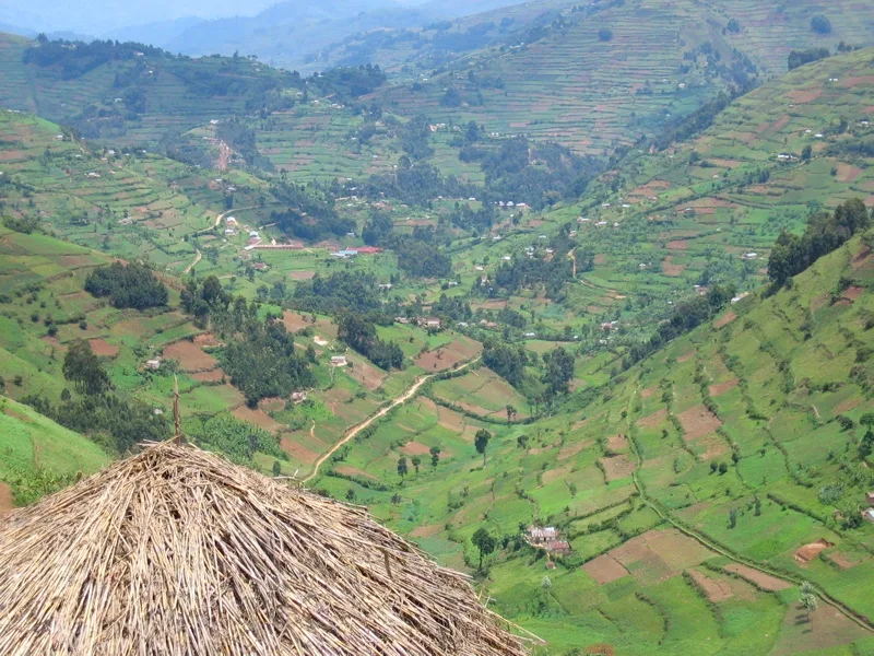
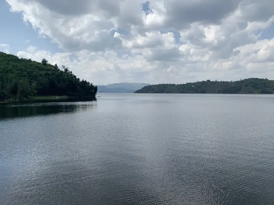
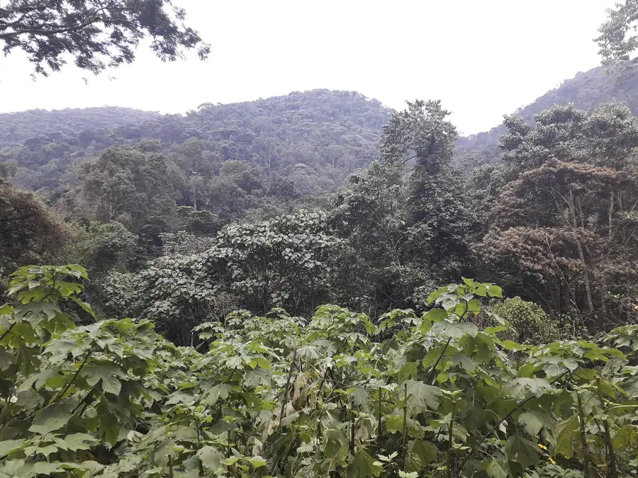
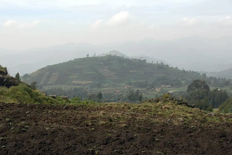
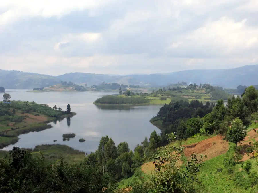
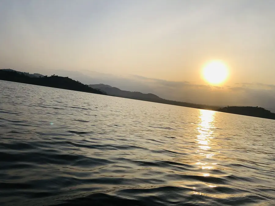
The Kigezi Highlands, often referred to as the 'Switzerland of Africa', are a mountainous region in southwestern Uganda, bordering Rwanda and the Democratic Republic of the Congo. The landscape is characterized by steep, terraced hills, deep valleys, and several lakes, including Lake Bunyonyi. Altitudes range from 1,500 to over 2,500 meters. This topography is a result of volcanic activity associated with the Albertine Rift. The soils are fertile but prone to erosion, which has led farmers to develop elaborate terracing techniques over generations. The region has one of the highest rural population densities in Africa, primarily inhabited by the Bakiga and Batwa peoples. Agriculture is the mainstay of the economy, with bananas, sorghum, beans, and potatoes being the main crops. The Kigezi Highlands are also part of the mountain gorilla habitat, hosting Bwindi Impenetrable National Park, a UNESCO World Heritage site that protects nearly half of the world's population of these primates. The cool climate and striking scenery make it a growing destination for ecotourism.
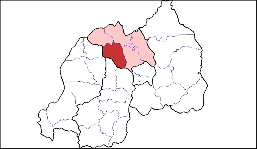
- Location: Uganda
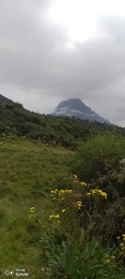
- Top sights: Lake Bunyonyi View · Mount Muhabura View · Echuya Central Proposed National Park
- Nearby: Lake Mutanda (15 km)
Best time to visit & climate
The most pleasant time to visit is Jun–Aug.
| Jan | Feb | Mar | Apr | May | Jun | Jul | Aug | Sep | Oct | Nov | Dec | |
|---|---|---|---|---|---|---|---|---|---|---|---|---|
| Avg °C | 20 | 20 | 20 | 19 | 19 | 19 | 19 | 20 | 20 | 20 | 19 | 19 |
| Rain mm | 74 | 76 | 133 | 140 | 111 | 44 | 37 | 60 | 92 | 129 | 137 | 94 |
📋 Practical info
Geography
Facts
- The region is famous for its agricultural terraces that cover the steep hillsides.
- Lake Bunyonyi, located in the region, has 29 islands.
- Bwindi Impenetrable National Park is home to an estimated 459 mountain gorillas (2018 estimate).
- The average altitude is around 2,000 meters above sea level.
- Population density can exceed 400 people per square kilometer in some areas.
- The Batwa pygmies are the indigenous inhabitants of the Kigezi forests.
- Annual rainfall ranges from 1,000 to 1,500 mm.
Explore nearby
Notable places around
Route planner — Car & Motorhome
Where do you start? We build the route here, with stops and country notes along the way.
© OpenStreetMap contributors · OpenRouteService
Sights in the town Kigezi Highlands (3)
Sights nearby
Frequently asked questions
How many days should be planned for the Kigezi-Hochland?
Is the Kigezi-Hochland suitable for families?
Is there good infrastructure with toilets and restaurants?
When is the best time to visit?
How is the best way to get to the Kigezi-Hochland?
Kigezi Highlands: where is it located?
Kigezi Highlands: what is there to see?
Kigezi Highlands: when is the best time to visit?
Kigezi Highlands: why is it worth visiting?

Nearby cities


History & landmarks
Nature


More places