Plizio Visual Lab
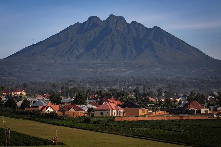
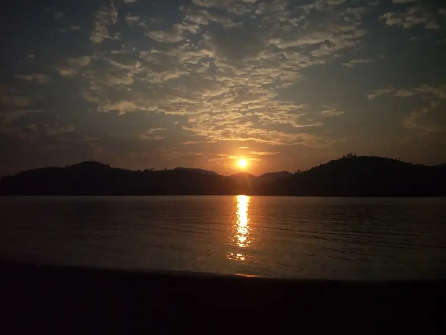
Mukungwa River

Weather…
Water temperature…
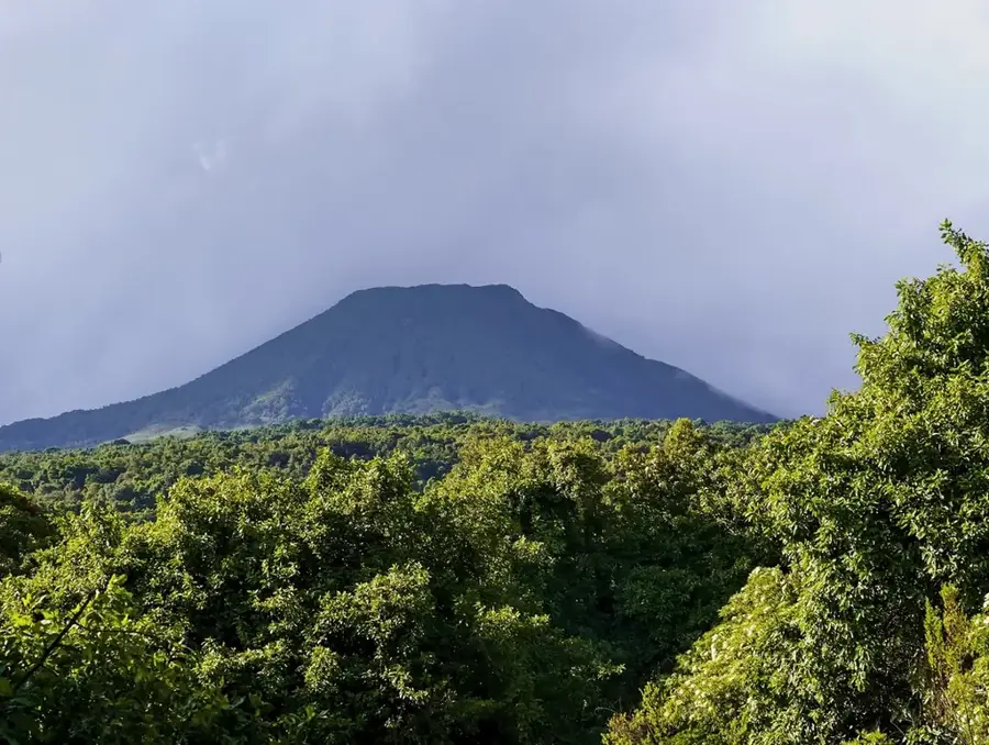
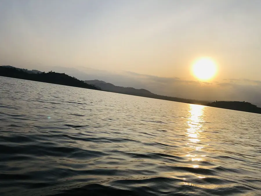
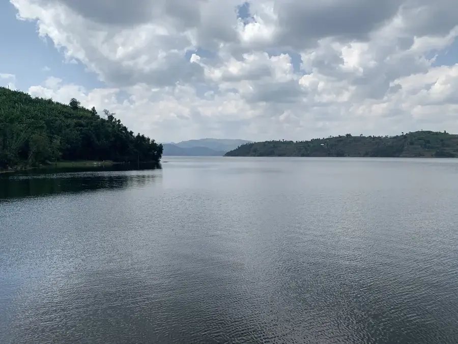
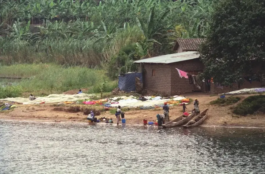
The Mukungwa River is an important river in northern Rwanda. It originates from the Virunga Mountains, specifically drawing water from Lakes Burera and Ruhondo. The river flows southwards to join the Nyabarongo River. Its water plays a crucial role in agriculture in the fertile region, particularly for the cultivation of pyrethrum, potatoes, and maize. Two hydroelectric power stations, Mukungwa I and Mukungwa II, are located on its banks, contributing to the national electricity grid. The river's course is characterized by farmed hills, which leads to issues with soil erosion and sedimentation. Catchment protection measures are underway to improve water quality and extend the lifespan of the power plants.
- Location: Rwanda
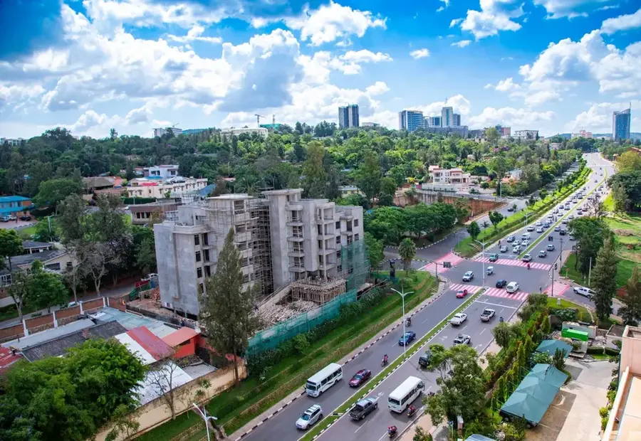
- Nearby: Musanze (5 km)
Best time to visit & climate
The most pleasant time to visit is Jun–Aug.
| Jan | Feb | Mar | Apr | May | Jun | Jul | Aug | Sep | Oct | Nov | Dec | |
|---|---|---|---|---|---|---|---|---|---|---|---|---|
| Avg °C | 17 | 18 | 18 | 18 | 17 | 17 | 17 | 17 | 18 | 17 | 17 | 17 |
| Rain mm | 127 | 127 | 206 | 183 | 142 | 74 | 45 | 92 | 139 | 190 | 218 | 154 |
📋 Practical info
Geography
Facts
- Drains Lakes Burera and Ruhondo.
- Flows into the Nyabarongo River.
- Features two hydroelectric plants: Mukungwa I and II.
- Important for irrigation in the Northern Province.
- Its catchment area is prone to soil erosion.
- Flows through the city of Musanze.
- Supports rich biodiversity in its wetlands.
Explore nearby
Notable places around
Route planner — Car & Motorhome
Where do you start? We build the route here, with stops and country notes along the way.
© OpenStreetMap contributors · OpenRouteService
Sights nearby
Frequently asked questions
What can you do at the Mukungwa River?
What is the difficulty level of canoeing?
Do you need special equipment?
Is there good infrastructure?
Is the area safe?
Mukungwa River: where is it located?
Mukungwa River: when is the best time to visit?
Mukungwa River: why is it worth visiting?

Nearby cities

History & landmarks
Nature
More places