Plizio Visual Lab
Kaplankyr Plateau
Weather…
Water temperature…
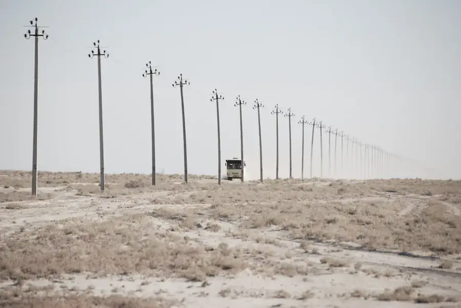
The Kaplankyr Plateau is the southern extension of the massive Ustyurt Plateau in northwestern Turkmenistan, distinguished by its dramatic cliffs and high ecological value. This elevated tableland is characterized by steep escarpments and deep depressions that form striking natural barriers across the desert landscape. Geologically, it consists of sedimentary rock layers that have been sculpted by erosion over millions of years, resulting in lively rock formations and varied topography. In 1979, the Kaplankyr State Nature Reserve was established here to safeguard the region's unique flora and fauna, such as the Ustyurt mountain sheep and the goitered gazelle. The vegetation is typical of the semi-desert zone, dominated by wormwood and various shrubs adapted to saline soil conditions. Water sources are scarce, with wildlife often depending on deep artesian wells or occasional seasonal runoff in the depressions. The plateau's remoteness has helped preserve its pristine environment, making it a critical site for geological research and wildlife conservation.
Best time to visit & climate
The most pleasant time to visit is Apr, May, Sep.
| Jan | Feb | Mar | Apr | May | Jun | Jul | Aug | Sep | Oct | Nov | Dec | |
|---|---|---|---|---|---|---|---|---|---|---|---|---|
| Avg °C | -1 | 0 | 8 | 15 | 24 | 29 | 32 | 30 | 23 | 14 | 5 | -1 |
| Rain mm | 7 | 12 | 19 | 17 | 12 | 3 | 3 | 2 | 3 | 6 | 9 | 10 |
📋 Practical info
Geography
Facts
- The Kaplankyr State Nature Reserve was officially established in 1979.
- The protected area covers a total surface of over 280,000 hectares.
- It is home to more than 20 mammal species and approximately 150 bird species.
- The highest point of the plateau reaches an elevation of about 305 meters.
- The region hosts rare wild flora, including several unique species of tulips.
- The plateau borders the Sarygamysh depression to the west.
Explore nearby
Notable places around
Route planner — Car & Motorhome
Where do you start? We build the route here, with stops and country notes along the way.
© OpenStreetMap contributors · OpenRouteService
Sights nearby
Frequently asked questions
What is the Kaplankyr Plateau?
Can one hike there?
Is the ground passable?
What is the attraction of the area?
What should one keep in mind during a tour?
Kaplankyr Plateau: where is it located?
Kaplankyr Plateau: when is the best time to visit?
Kaplankyr Plateau: why is it worth visiting?

Nearby cities

Nature
More places