Plizio Visual Lab
Ustyurt Plateau
Weather…
Water temperature…
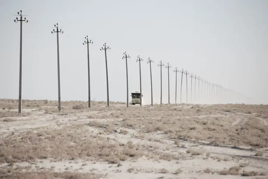
The Ustyurt Plateau is a colossal raised desert tableland situated between the Caspian Sea and the Aral Sea in Central Asia. The Turkmen portion of this plateau occupies the northwestern corner of the country, featuring a stark landscape of stony and clay-rich soils. Geologically, it is composed of Neogene limestones and marls that form a resistant surface layer, often bounded by dramatic escarpments known as chinks, which can drop 150 meters to the plains below. The vegetation is sparse and highly adapted to arid conditions, consisting mainly of sagebrush and saltwort communities. Historically, the Ustyurt was a critical corridor for the northern branches of the Silk Road, evidenced by the ruins of ancient caravanserais and defensive structures found across its surface. Today, the plateau serves as a vital sanctuary for rare wildlife, including the Ustyurt mountain sheep and the Asiatic wild ass, while the deep geological strata contain immense reserves of natural gas and oil.
Best time to visit & climate
The most pleasant time to visit is May, Aug, Sep.
| Jan | Feb | Mar | Apr | May | Jun | Jul | Aug | Sep | Oct | Nov | Dec | |
|---|---|---|---|---|---|---|---|---|---|---|---|---|
| Avg °C | -2 | -1 | 7 | 14 | 23 | 29 | 31 | 29 | 22 | 13 | 4 | -2 |
| Rain mm | 7 | 11 | 18 | 16 | 12 | 4 | 4 | 1 | 3 | 6 | 8 | 9 |
📋 Practical info
Geography
Facts
- The entire Ustyurt Plateau covers an area of approximately 200,000 square kilometers.
- The plateau's average elevation ranges from 150 to 300 meters above sea level.
- The marginal escarpments, locally called chinks, can reach heights of 150 meters.
- Significant parts of the Turkmen plateau fall within the Kaplankyr Nature Reserve.
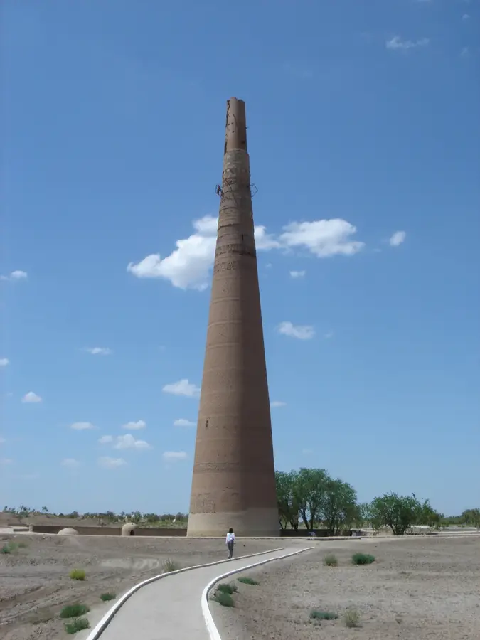
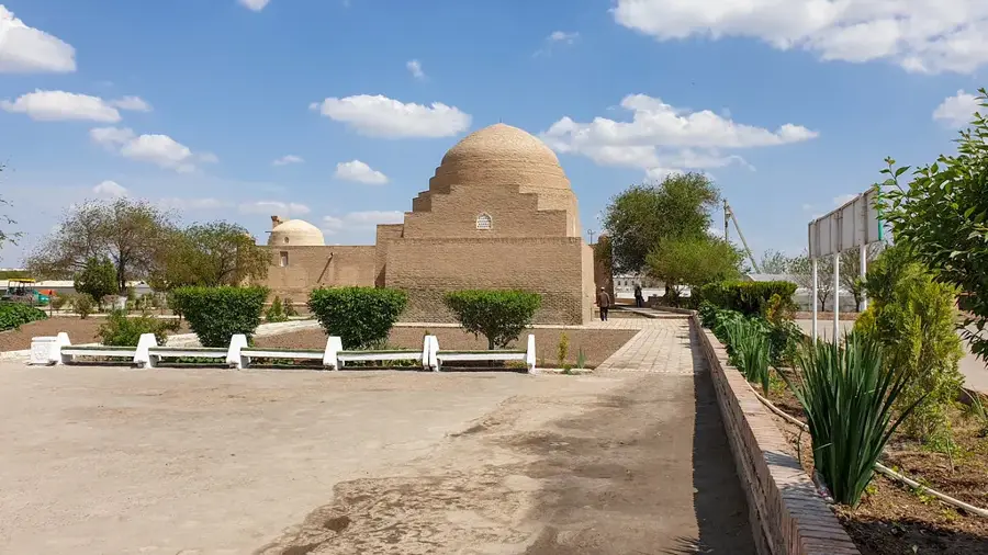
- More than 60 ancient settlements and archaeological sites have been mapped here.
- Temperature extremes on the plateau range from -40°C in winter to +50°C in summer.
Route planner — Car & Motorhome
Where do you start? We build the route here, with stops and country notes along the way.
© OpenStreetMap contributors · OpenRouteService
Sights nearby
Frequently asked questions
What is the Ustyurt Plateau?
Is the scenery attractive?
How do you get up there?
What equipment is mandatory?
When is it most pleasant there?
Ustyurt Plateau: where is it located?
Ustyurt Plateau: when is the best time to visit?
Ustyurt Plateau: why is it worth visiting?

Nearby cities

Nature
More places