Plizio Visual Lab
Tado Hills
Weather…
Water temperature…
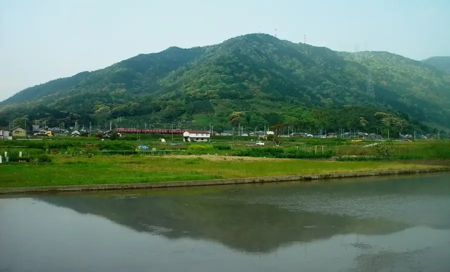
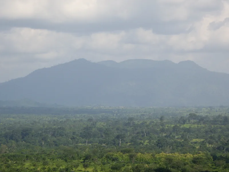
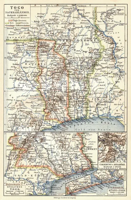
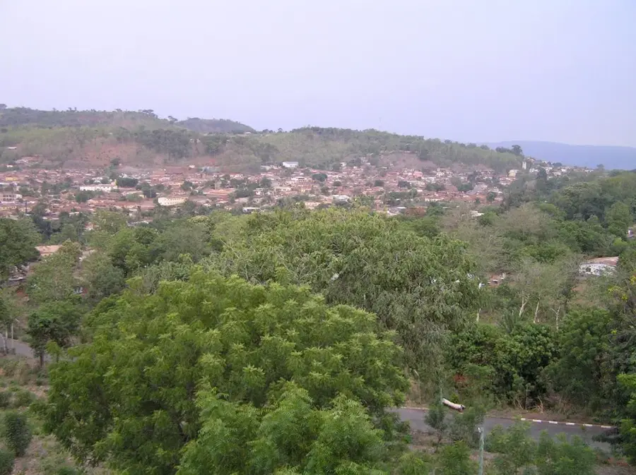
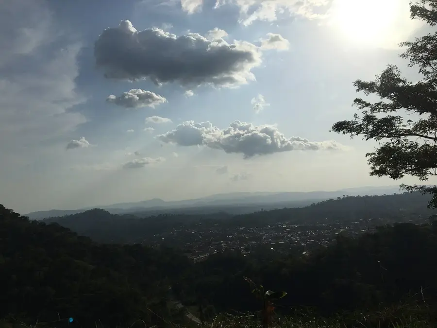
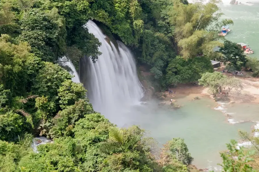
The Tado Hills are located in southeastern Togo, near the border with Benin, representing a region of significant historical and geographical importance. These gentle elevations are geologically part of the Precambrian basement complex of West Africa, consisting primarily of granite and gneiss formations. The town of Tado and its surrounding hills are recognized as the ancestral cradle of the Adja people, from where major migrations occurred in the 12th and 13th centuries, leading to the establishment of the kingdoms of Abomey and Porto-Novo. The relief of the hills is moderate, interspersed with broad plateaus that are intensively cultivated for maize, cassava, and oil palms. Climatically, the region sits in the transition zone between coastal savanna and the more humid forest belt, fostering a diverse range of flora. Despite their modest absolute elevation, the hills provide strategic vantage points overlooking the Mono River valley. For the local communities, the Tado Hills hold sacred significance, with numerous legends and ancestral cults associated with specific rock formations and sacred groves in the area.
- Location: Togo
- Nearby: Tohoun (12 km)
Best time to visit & climate
The most pleasant time to visit is Jan, Nov, Dec.
| Jan | Feb | Mar | Apr | May | Jun | Jul | Aug | Sep | Oct | Nov | Dec | |
|---|---|---|---|---|---|---|---|---|---|---|---|---|
| Avg °C | 27 | 28 | 28 | 28 | 27 | 26 | 25 | 25 | 25 | 26 | 26 | 26 |
| Rain mm | 15 | 30 | 72 | 104 | 143 | 177 | 189 | 145 | 214 | 149 | 32 | 14 |
📋 Practical info
Geography
Facts
- Tado is considered the legendary capital of the ancient Adja Kingdom.
- The hills are composed mainly of crystalline basement rocks like granite.
- The region is located roughly 100 kilometers north of the capital, Lomé.
- The Mono River basin defines the eastern boundary of the hill country.
- The area is the site of major annual pilgrimages for the Adja people.
- Agricultural activities in the hills focus on palm oil and cereal production.
Explore nearby
Notable places around
Route planner — Car & Motorhome
Where do you start? We build the route here, with stops and country notes along the way.
© OpenStreetMap contributors · OpenRouteService
Sights nearby
Frequently asked questions
How difficult is the hike up the Tado-Hügel?
When is the best time to visit?
Is there parking available on site?
Should I expect bad weather?
Are there toilets or restaurants nearby?
Tado Hills: where is it located?
Tado Hills: when is the best time to visit?
Tado Hills: why is it worth visiting?

Nearby cities


History & landmarks
Nature
More places