Plizio Visual Lab
Wahala
ℹ️Practical info — Wahala
▾
🌤 Weather — 5 days
📍 Nearby
Sights nearby
💡 Tips
- Historical Monument: Visit the memorial for the 1914 battle; it is a rare piece of colonial history preserved in the area.
- Road Safety: The N1 is a very busy national highway; be extremely careful when crossing or walking along the roadside.
- Transit Hub: Known as a popular stop for travelers; look for the best 'fufu' spots located directly on the main road.
- Name History: 'Wahala' means trouble or suffering in local dialects, referring to the hardships during the railway construction.
- Best Timing: Aim to stop around midday when the roadside kitchens are most active and serving fresh meals.
🍽 Food
Pounded yam served with a rich sauce and meat; it is the signature dish of the local roadside eateries.
A traditional local cheese, often fried golden brown and sold as a snack at roadside stalls.
Spiced and skewered meat grilled over an open flame, great for a quick energy boost.
🛍 Shopping · 🧘 Quiet spots
At the N1 stalls, you can find fresh mangoes, papayas, and bananas sourced directly from the region.
A major trading product of the area; often seen stacked in large bags along the roadside.
A quiet place away from the traffic noise, inviting reflection on the local history.
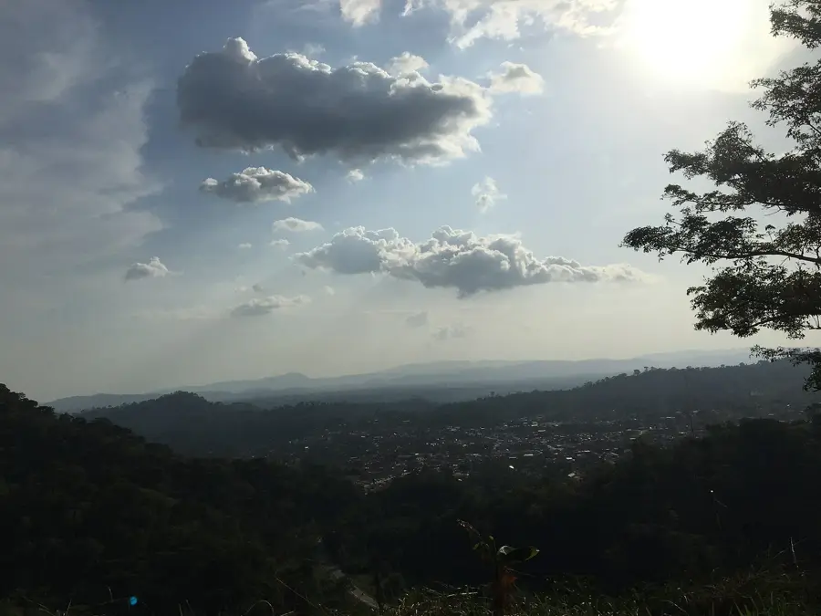
Short paths lead up the surrounding hills, offering an expansive view over the plains.
Water temperature…
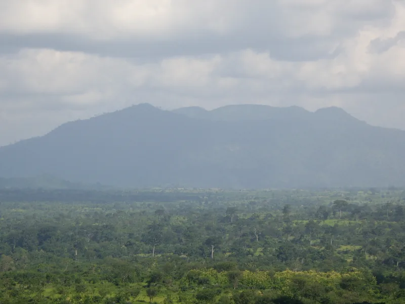
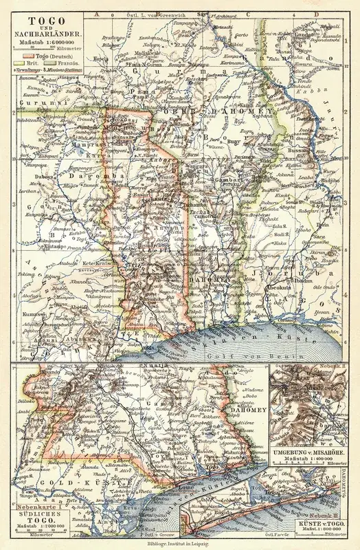
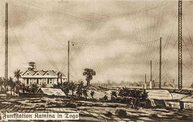
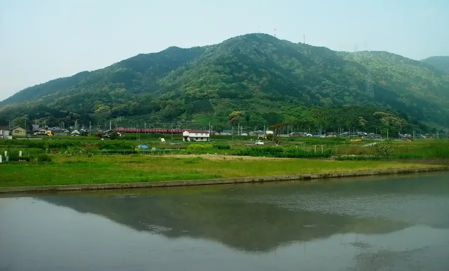
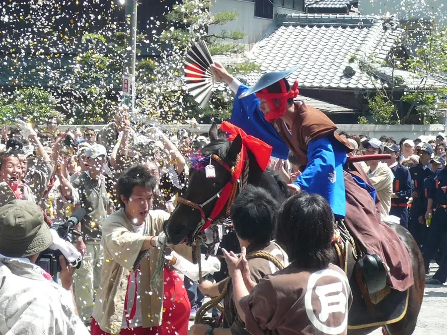
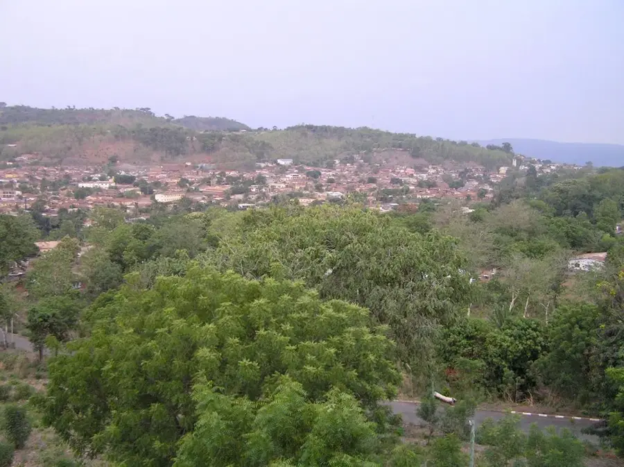
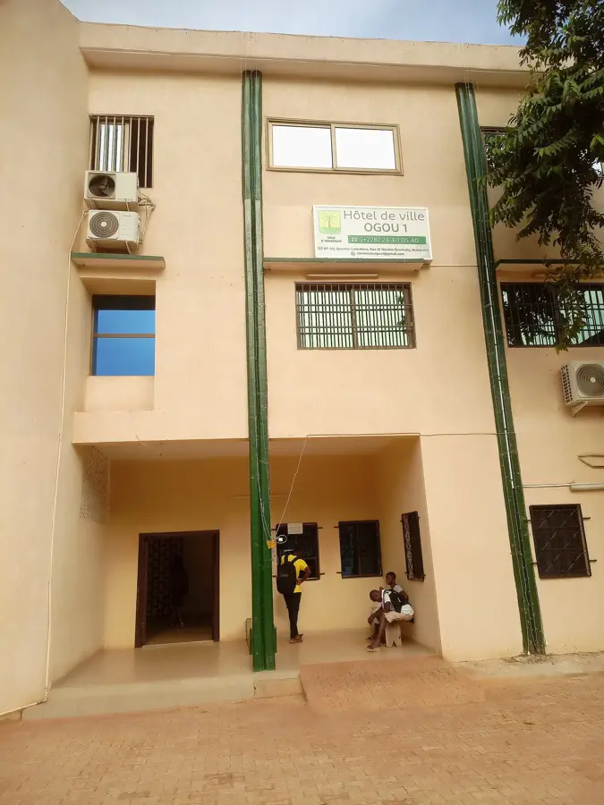
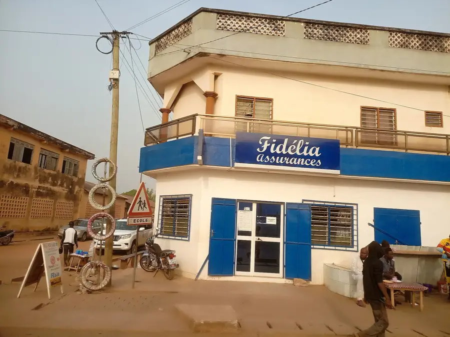
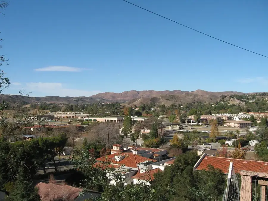
Wahala sits on National Road 1, about 100 kilometres north of Lomé, and belongs to Haho Prefecture in the Plateaux Region. During the German colonial era the town was an important administrative outpost and staging post on the old caravan route between the coast and the hinterland. Today Wahala is best known as a popular truck and traveller stop, with numerous small restaurants, market stalls and fuel stations offering a brief pause to travellers. The surrounding region is shaped by agriculture: maize, beans, groundnuts and yams thrive on the fertile soils, and farmers send their produce to the large markets of Lomé and Kpalimé. Wahala also hosts several schools and administrative offices. The population is mostly Adja-Ewe and maintains traditional customs such as the annual harvest festival and colourful masked dances. Its strategic location makes the town an important crossroads on the country's main highway.
- Location: Togo
- Nearby: Notsé (28 km)
Best time to visit & climate
The most pleasant time to visit is Jan, Nov, Dec.
| Jan | Feb | Mar | Apr | May | Jun | Jul | Aug | Sep | Oct | Nov | Dec | |
|---|---|---|---|---|---|---|---|---|---|---|---|---|
| Avg °C | 27 | 28 | 28 | 28 | 27 | 26 | 25 | 25 | 25 | 26 | 26 | 26 |
| Rain mm | 15 | 30 | 72 | 104 | 143 | 177 | 189 | 145 | 214 | 149 | 32 | 14 |
Geography
Facts
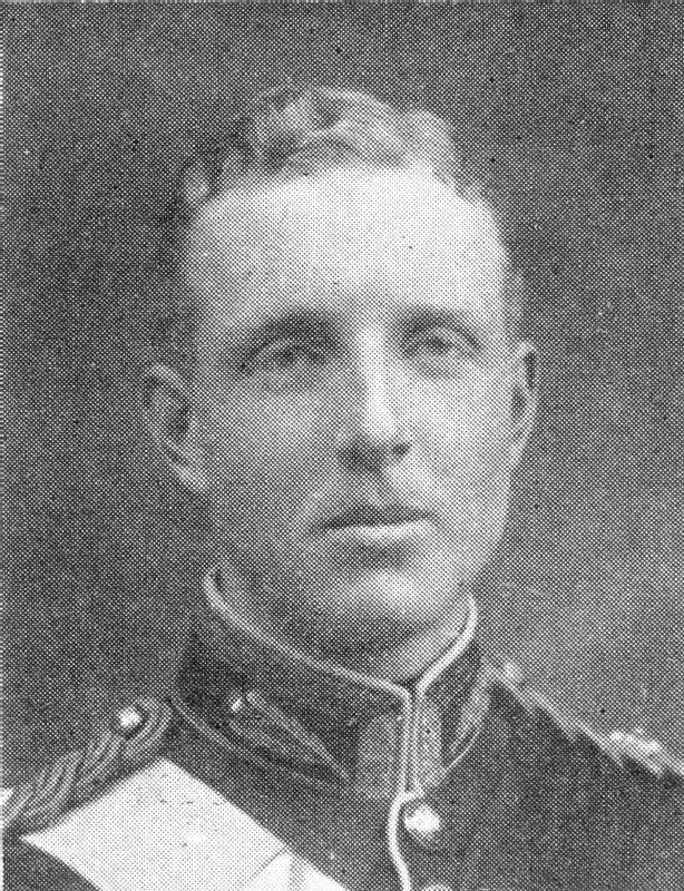
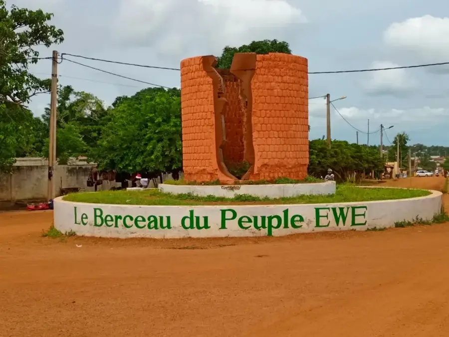
- Site of the Battle of Chra in August 1914.
- German troops blew up the bridge over the Chra River here.
- Important site of First World War remembrance in Togo.
- Home to a historical military cemetery.
- The name Wahala comes from Hausa, meaning 'suffering'.
- Located on the strategic north-south axis of the country.
Explore nearby
Notable places around
Route planner — Car & Motorhome
Where do you start? We build the route here, with stops and country notes along the way.
© OpenStreetMap contributors · OpenRouteService
Frequently asked questions
Time for Wahala?
When?
How?
Food?
Safe?
Wahala: where is it located?
Wahala: when is the best time to visit?
Wahala: why is it worth visiting?

Nearby cities

History & landmarks
Nature
More places