Plizio Visual Lab
Kpalimé
ℹ️Practical info — Kpalimé
▾
🌤 Weather — 5 days
📍 Nearby
Sights nearby
💡 Tips
- Best visited during the dry season (Nov-Mar) to easily hike Mount Agou.
- Hire a local guide for the waterfalls (like Womé) as trails can be confusing.
- Moto-taxis (zemidjans) are the main transport; negotiate the fare before getting on.
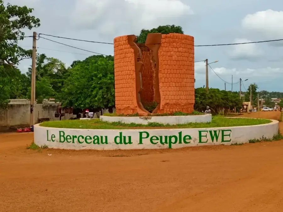
- French is the official language, but Ewe is widely spoken locally.
🍽 Food
Find it at the local chop bars in the town center.
Available at street food stalls around the main market.
Often served in calabashes at traditional local markets.
🛍 Shopping · 🧘 Quiet spots
The best place to buy wood carvings, batiks, and local handicrafts.
The bustling main market for fresh fruits, spices, and everyday goods.
Visit this beautiful waterfall early in the morning for a tranquil experience.
A great spot for peaceful forest hikes and butterfly watching.
Water temperature…
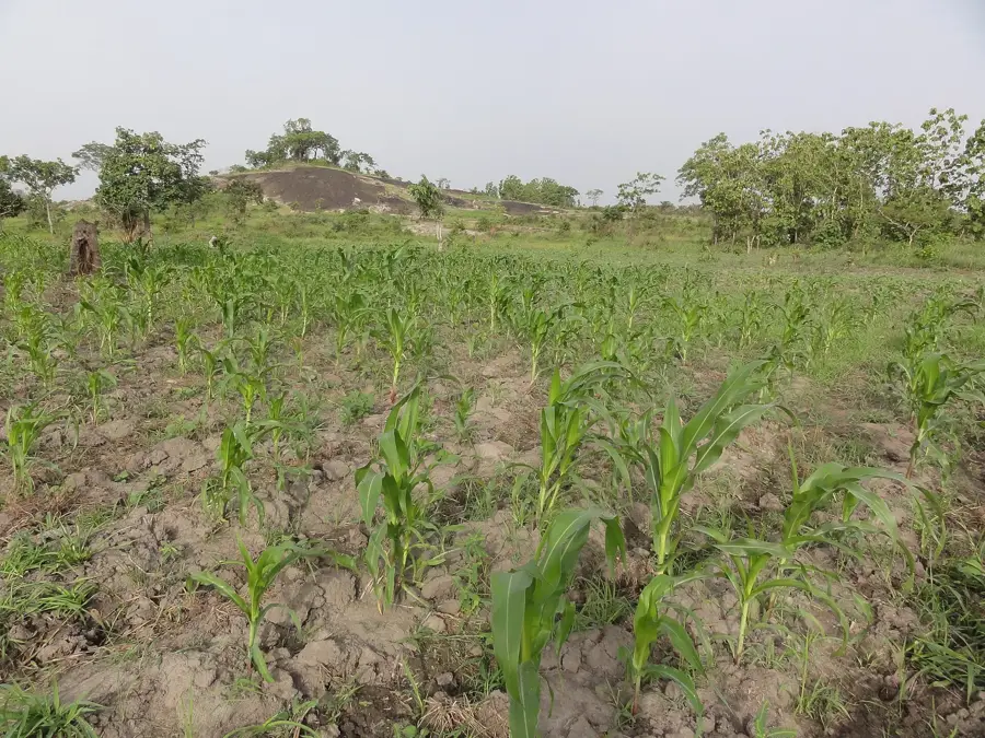
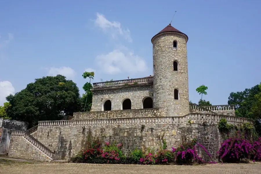
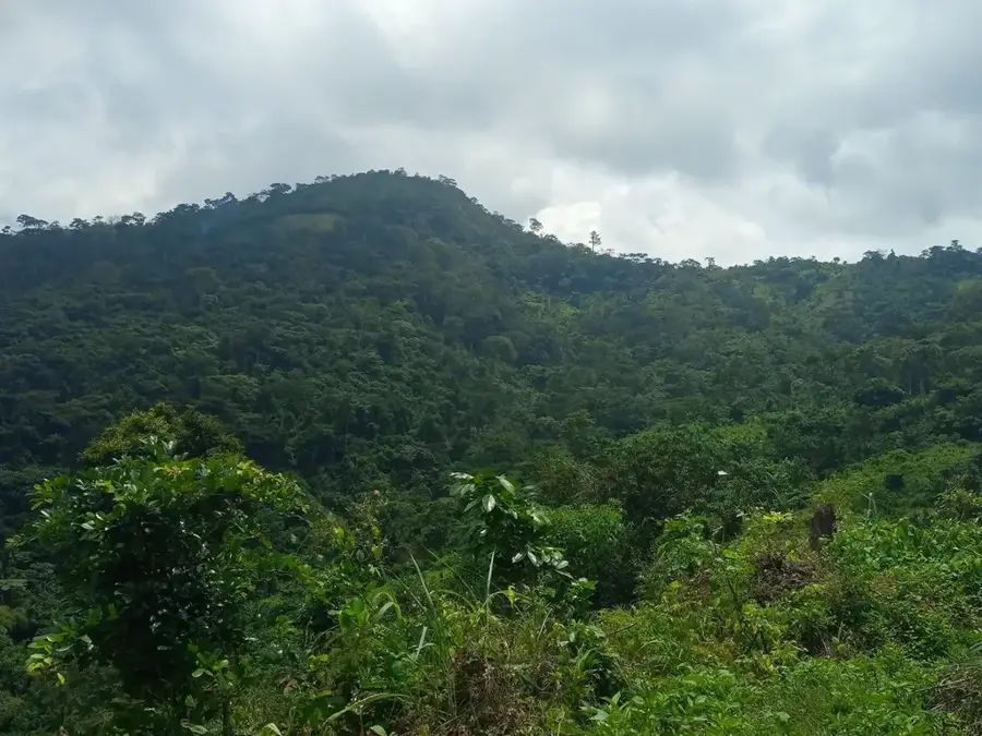
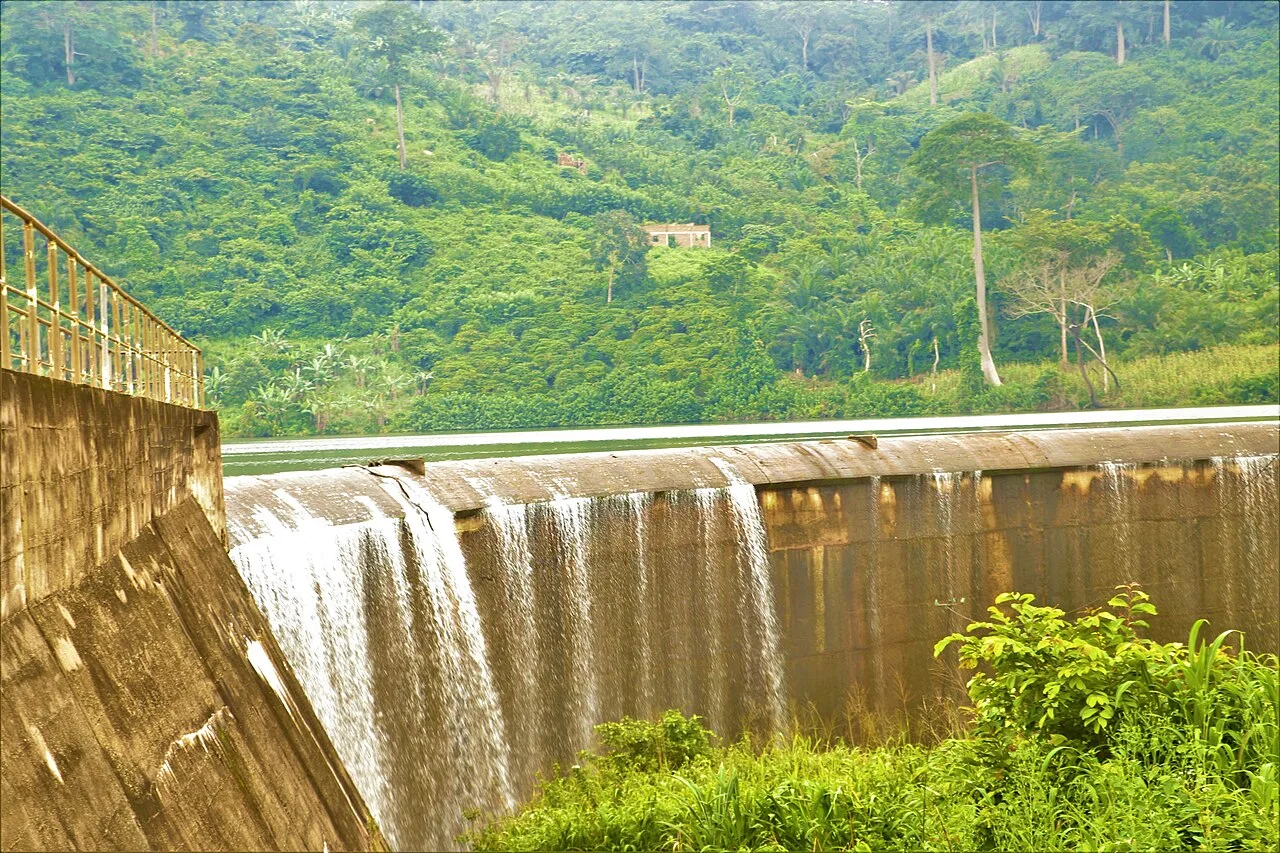
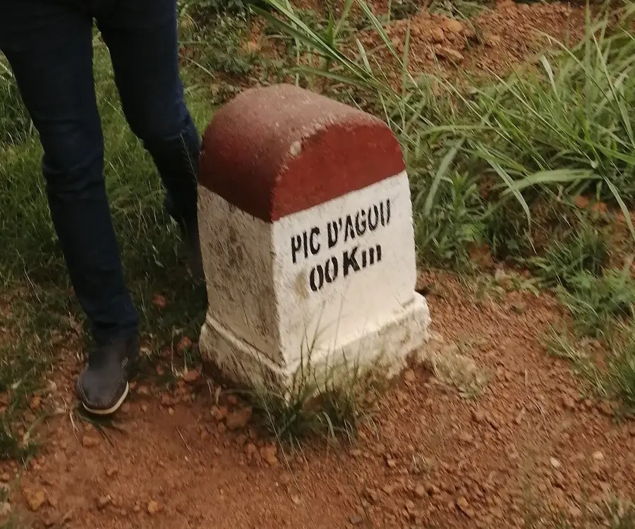
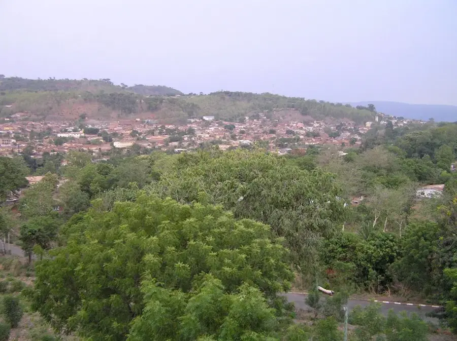
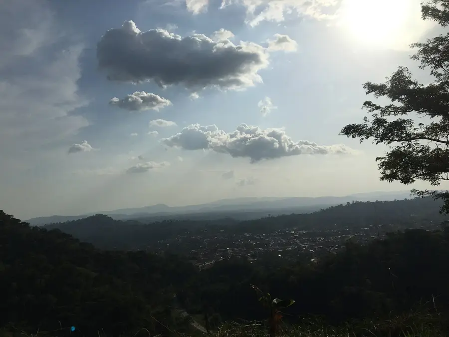
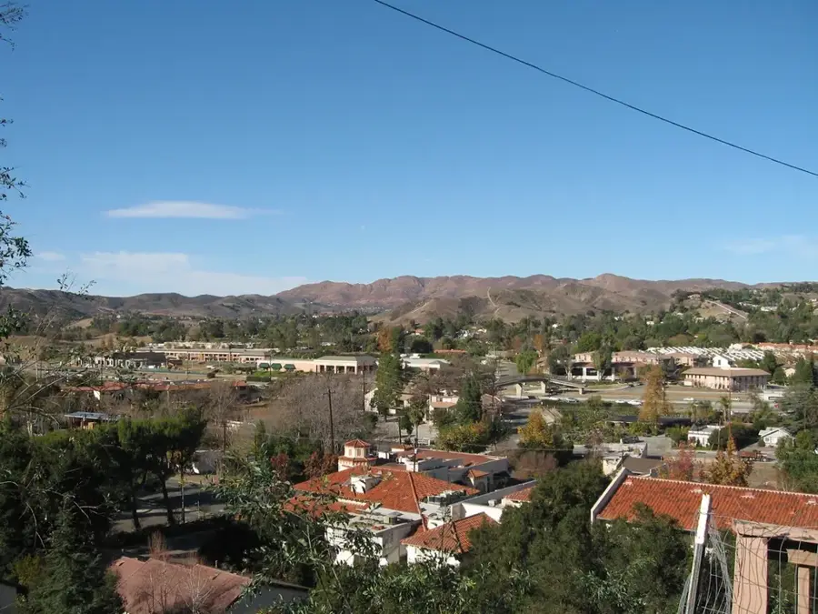
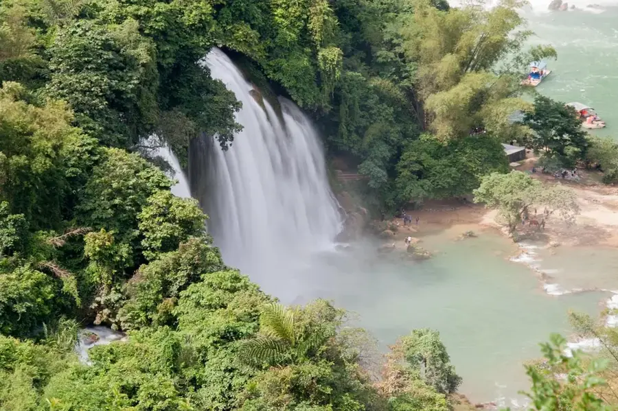
Kpalimé sits roughly 120 kilometres north-west of Lomé in the Plateaux Region, at the foot of 986-metre Mount Agou, Togo's highest peak. With around 100,000 inhabitants, Kpalimé is the country's fifth-largest city and is regarded as the undisputed tourist capital of Togo. The local microclimate is markedly cooler and wetter than the coastal plain, supporting lush rainforests and extensive coffee, cocoa and banana plantations. The town is a nationally renowned crafts hub, famous in particular for woodcarving, batik fabrics and stamp-printed cloths; the Centre Artisanal trains young artisans and supplies markets across West Africa. Popular natural attractions include the Kpimé waterfalls, the hike to the Pic d'Agou summit, and butterfly-watching in the forests around Mont Klouto, where the celebrated local guide known as 'Prosper' leads visitors through exceptionally biodiverse trails.
- Location: Togo
- Top sights: Centre culturel Wezo · Centre Artisanal · Place du 30 Aout
- Nearby: Agou (11 km)
- Population: ~75.084 (2013)
Best time to visit & climate
The most pleasant time to visit is Jan, Nov, Dec.
| Jan | Feb | Mar | Apr | May | Jun | Jul | Aug | Sep | Oct | Nov | Dec | |
|---|---|---|---|---|---|---|---|---|---|---|---|---|
| Avg °C | 26 | 28 | 27 | 27 | 26 | 25 | 24 | 24 | 25 | 25 | 26 | 26 |
| Rain mm | 14 | 28 | 72 | 100 | 134 | 172 | 190 | 139 | 202 | 145 | 32 | 14 |
Geography
Facts
- Kpalimé is situated at an elevation of approximately 230 meters.
- Nearby Mount Agou reaches a peak height of 986 meters.
- Kpalimé is often called West Africa's 'butterfly capital' due to its biodiversity.
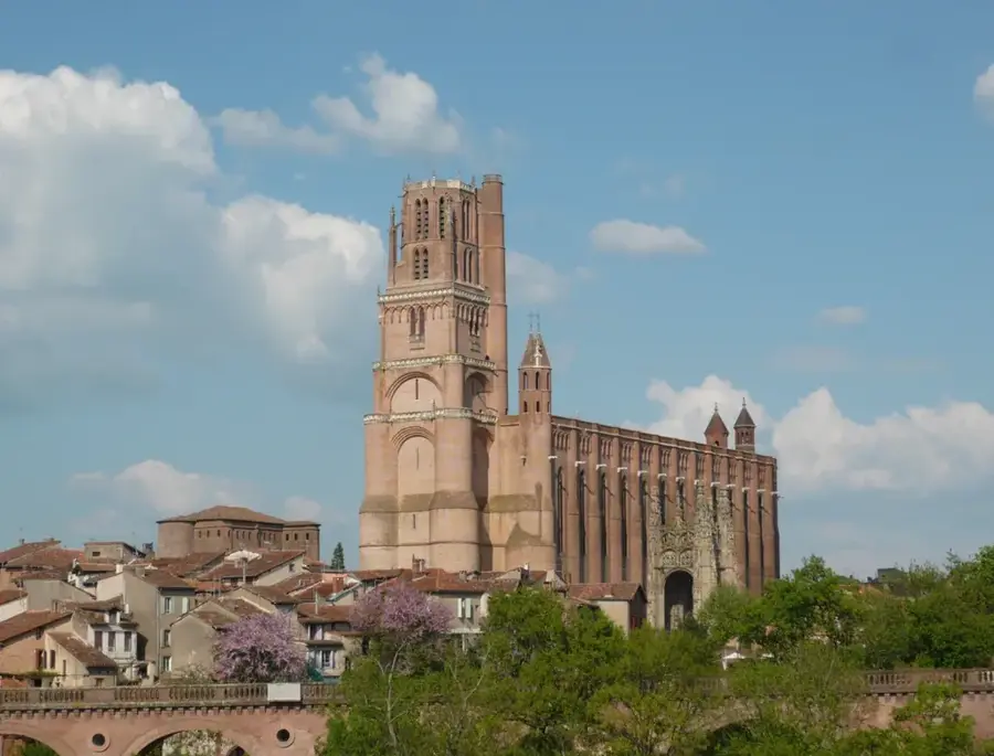
- The Holy Spirit Cathedral was built by German missionaries in 1913.
- The city is the administrative capital of the Kloto Prefecture.
- Kpalimé hosts a major artisanal center promoting local traditional crafts.
Explore nearby
Notable places around
Route planner — Car & Motorhome
Where do you start? We build the route here, with stops and country notes along the way.
© OpenStreetMap contributors · OpenRouteService
Sights in the town Kpalimé (5)
Frequently asked questions
Why should you visit Kpalimé?
Are the waterfalls easily accessible?
Is Kpalimé suitable for trekking?
When is the best time to visit?
Are there family-friendly activities?
Kpalimé: where is it located?
Kpalimé: what is there to see?
Kpalimé: when is the best time to visit?
Kpalimé: why is it worth visiting?

Nearby cities
History & landmarks
Nature
More places