Plizio Visual Lab
Mount Tado
Weather…
Water temperature…
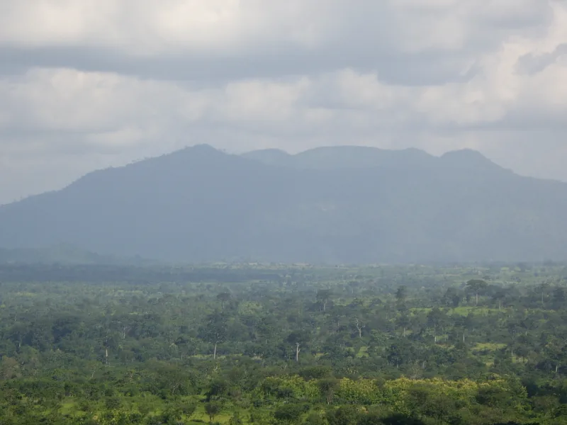
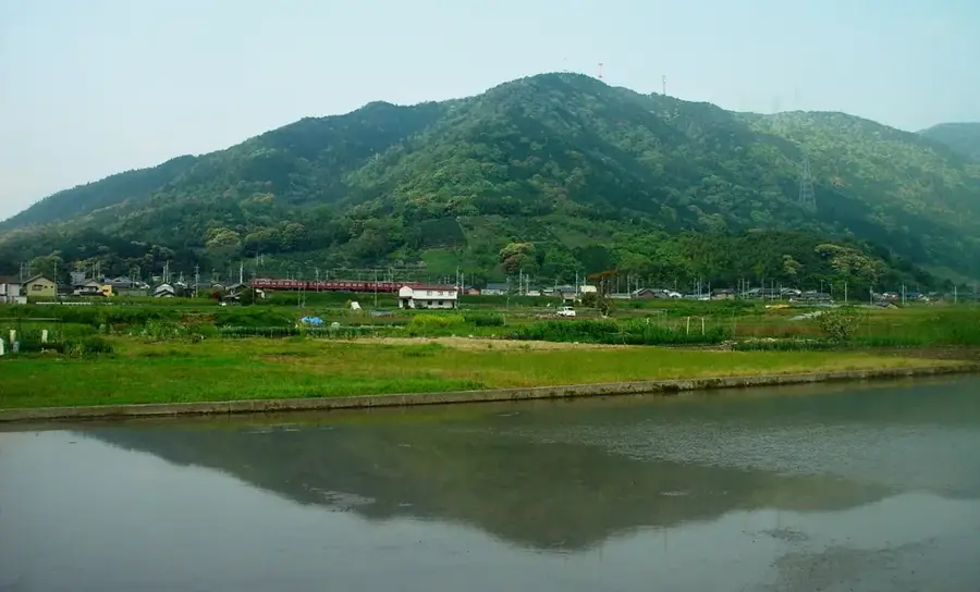
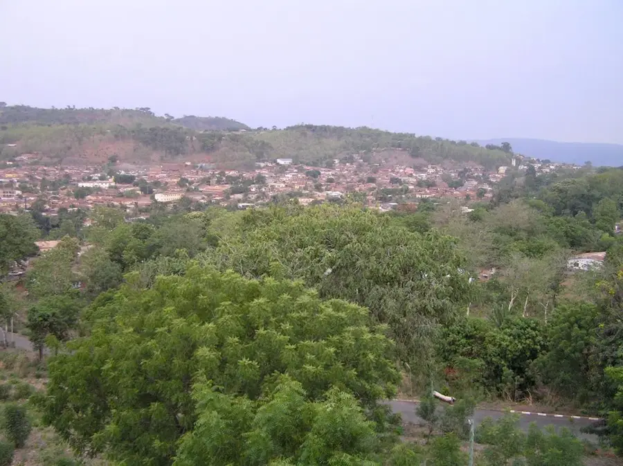
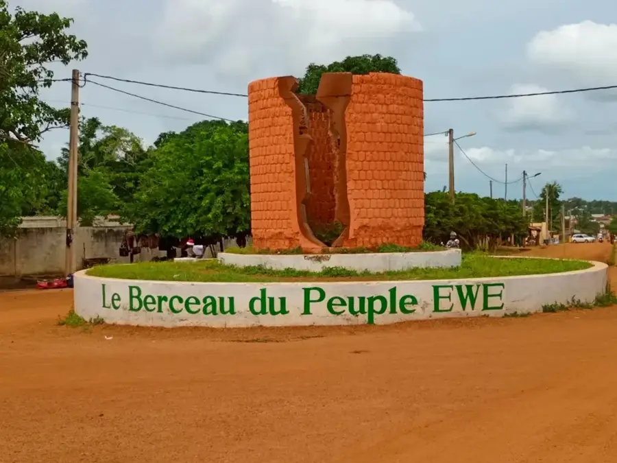
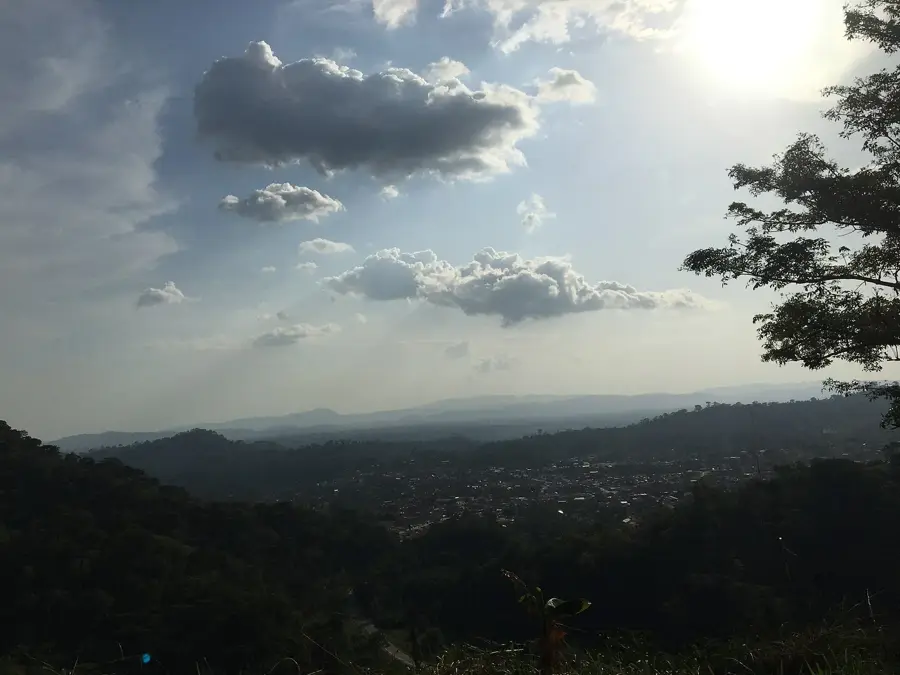
Mount Tado is a historically and culturally significant elevation in southeastern Togo, near the border with Benin. Although its absolute height of approximately 450 meters is moderate compared to other Togolese mountains, its symbolic importance is immense. Tado is regarded as the cradle of the Aja and Ewe peoples, from where the great migrations of the 12th and 13th centuries originated. Geologically, the region is characterized by sedimentary deposits of the coastal basin and ferruginous laterite soils. The vegetation consists predominantly of secondary forest and agricultural land where oil palms and maize thrive. The nearby Mono River influences the microclimate and provides fertile plains at the foot of the mountain. Today, Tado remains a vital center for traditional ceremonies and a pilgrimage site for descendants of the Aja dynasties from across the West African region.
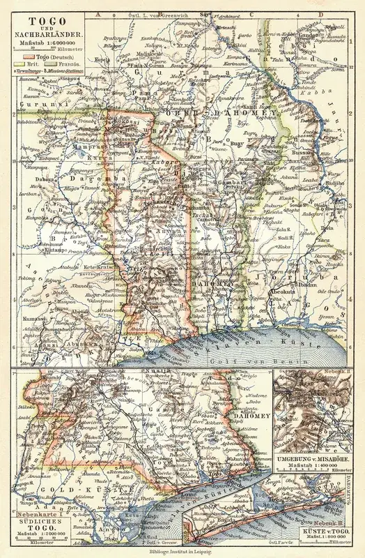
- Location: Togo
- Nearby: Tohoun (20 km)
Best time to visit & climate
The most pleasant time to visit is Jan, Nov, Dec.
| Jan | Feb | Mar | Apr | May | Jun | Jul | Aug | Sep | Oct | Nov | Dec | |
|---|---|---|---|---|---|---|---|---|---|---|---|---|
| Avg °C | 27 | 28 | 28 | 28 | 27 | 26 | 25 | 25 | 25 | 26 | 26 | 26 |
| Rain mm | 15 | 30 | 72 | 104 | 143 | 177 | 189 | 145 | 214 | 149 | 32 | 14 |
📋 Practical info
Geography
Facts
- The elevation of the mountain is approximately 450 meters above sea level.
- Tado was the capital of a powerful Aja kingdom in the 13th century.
- The mountain is located within the Mono River drainage basin.
- The region is known for its pre-colonial archaeological sites.
- The soil is colored reddish due to a high laterite content.
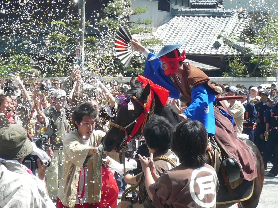
- The traditional festival of the Aja peoples is held here annually.
Explore nearby
Notable places around
Route planner — Car & Motorhome
Where do you start? We build the route here, with stops and country notes along the way.
© OpenStreetMap contributors · OpenRouteService
Sights nearby
Frequently asked questions
What is Mount Tado known for?
Are you allowed to climb the peak?
Is it suitable for hiking?
Where can one learn more?
How is the weather on the mountain?
Mount Tado: where is it located?
Mount Tado: when is the best time to visit?
Mount Tado: why is it worth visiting?

Nearby cities


History & landmarks
Nature
More places