Plizio Visual Lab
Atakora Range
Weather…
Water temperature…
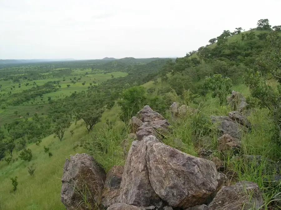
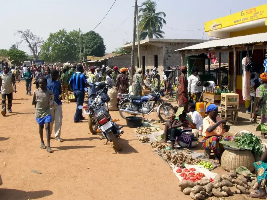
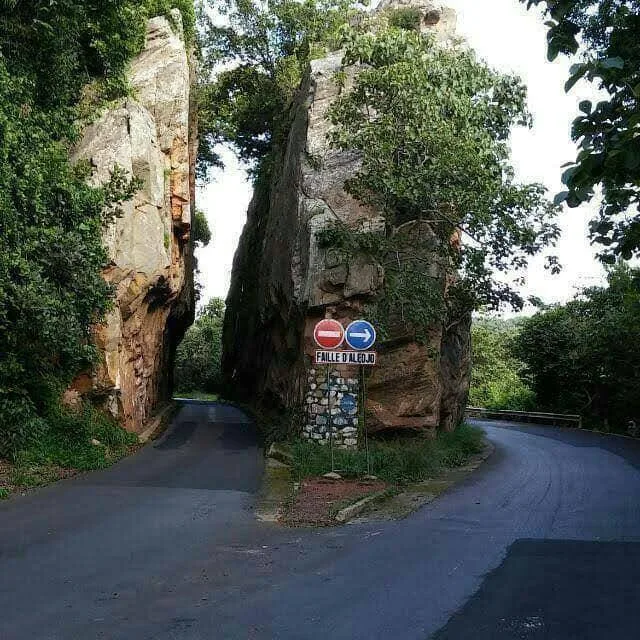
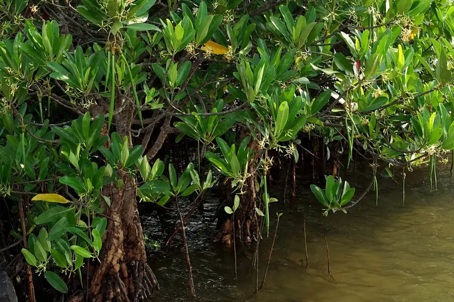
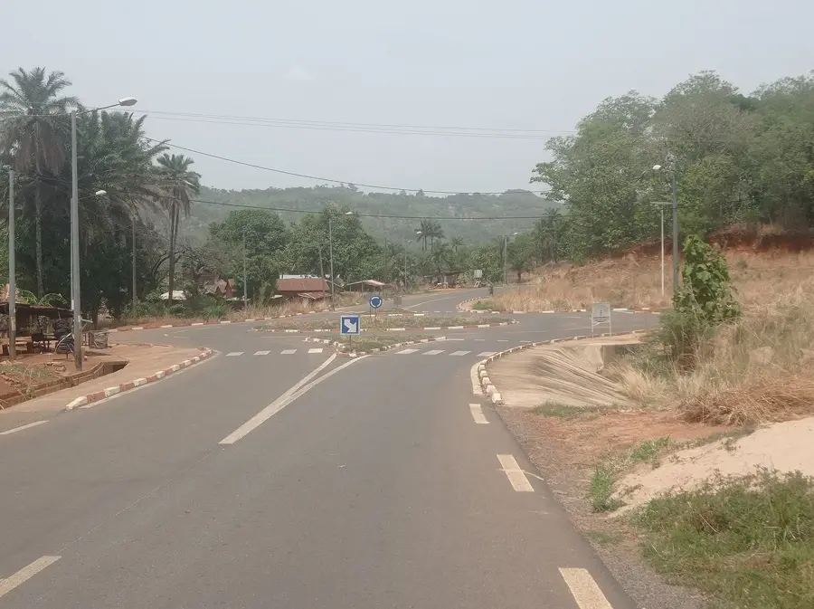
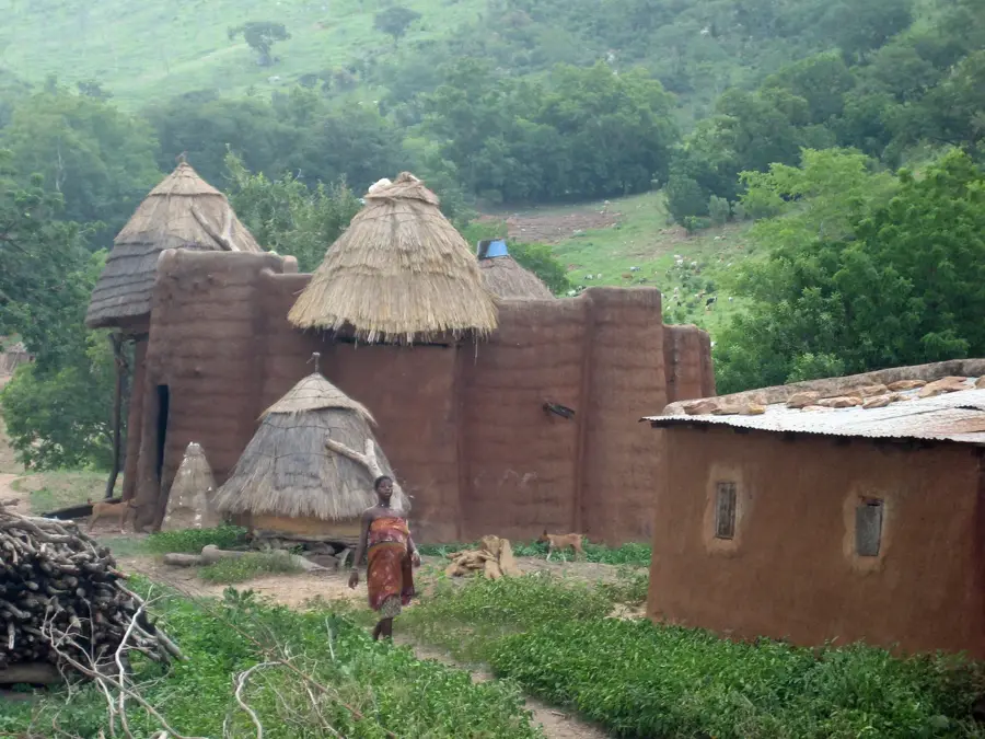
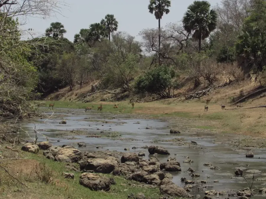
The Atakora Range, frequently referred to in Togo as the Togo Mountains, is a prominent mountain chain stretching from southeastern Ghana across central Togo into northwestern Benin. This geological formation primarily consists of ancient metamorphic quartzite and sandstone ridges that have been sculpted by erosion over millions of years. The range serves as a critical watershed for West Africa, feeding various significant river systems including the Oti and the Mono. In Togo, the mountains reach their highest elevation at Mount Agou, which stands at approximately 986 meters above sea level near the border with Ghana. The landscape is characterized by deep valleys, steep escarpments, and lush forests in the more humid southern sectors. Historically, these highlands provided a natural sanctuary for local ethnic groups during periods of regional migration and conflict. Today, the Atakora Range is essential for both local subsistence agriculture and the emerging ecotourism sector, hosting unique microclimates and diverse flora and fauna within protected areas.
- Location: Togo
- Nearby: Fazao-Malfakassa National Park (22 km)
Best time to visit & climate
The most pleasant time to visit is Jan, Nov, Dec.
| Jan | Feb | Mar | Apr | May | Jun | Jul | Aug | Sep | Oct | Nov | Dec | |
|---|---|---|---|---|---|---|---|---|---|---|---|---|
| Avg °C | 25 | 28 | 29 | 28 | 27 | 26 | 25 | 24 | 25 | 25 | 26 | 25 |
| Rain mm | 7 | 12 | 43 | 98 | 133 | 162 | 219 | 217 | 228 | 129 | 13 | 3 |
📋 Practical info
Geography
Facts
- The mountain range spans a total distance of approximately 850 kilometers.
- Mount Agou is the highest peak in Togo, reaching 986 meters in elevation.
- The range is composed primarily of ancient Precambrian quartzite rocks.
- It serves as the main watershed between the Oti River and the Mono River.
- The Atakora Range is home to the UNESCO-listed Koutammakou landscape.
- Average annual rainfall in the mountain areas can exceed 1,500 millimeters.
Explore nearby
Notable places around
Route planner — Car & Motorhome
Where do you start? We build the route here, with stops and country notes along the way.
© OpenStreetMap contributors · OpenRouteService
Sights nearby
Frequently asked questions
What makes the Atakora range so special?
Is it good for hiking?
Are there dangerous animals?
Is a 4x4 vehicle necessary?
Best season for the range?
Atakora Range: where is it located?
Atakora Range: when is the best time to visit?
Atakora Range: why is it worth visiting?

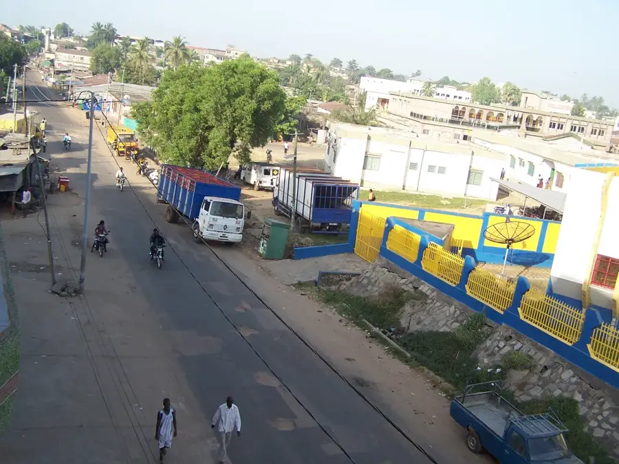
Nearby cities


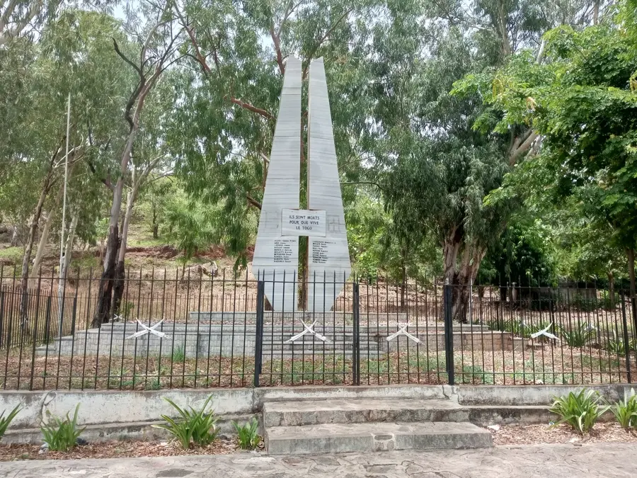

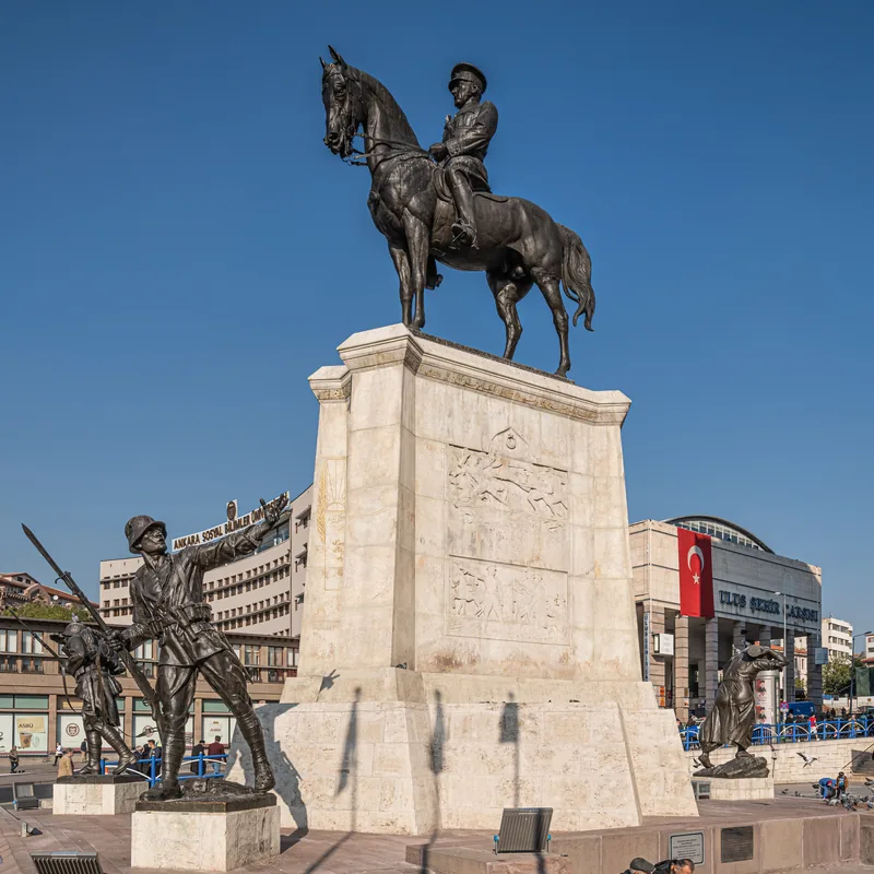
History & landmarks
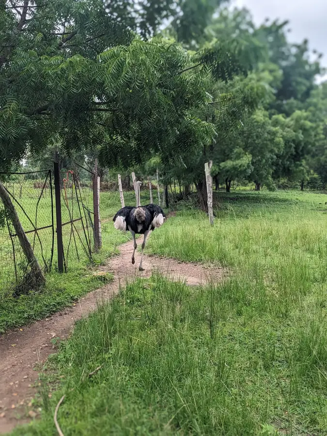
Nature

More places