Plizio Visual Lab
Kandé
ℹ️Practical info — Kandé
▾
🌤 Weather — 5 days
📍 Nearby
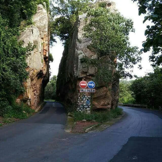
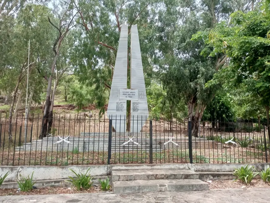
Sights nearby
💡 Tips
- Arrange a local guide in Kandé before heading to the Koutammakou region.
- Hire a sturdy 4x4, as roads to the Batammariba villages can be rough.
- Bring enough cash (CFA francs) as ATMs are scarce or unreliable in the area.
- Ask permission before photographing the traditional mud tower houses (Takienta).
- The weekly market is the best time to see regional trade; arrive early to avoid the heat.
🍽 Food
Find it in small local eateries near the market.
Best tried fresh in the surrounding villages or local markets.
Often served with spicy sauce at roadside stalls.
🛍 Shopping · 🧘 Quiet spots
Buy traditional artifacts directly from the artisans in Koutammakou or Kandé market.
The central market has fresh fruits and spices.
Walk slightly out of town to enjoy the serene Sahelian landscape.
Often peaceful spots during non-prayer times.
Water temperature…
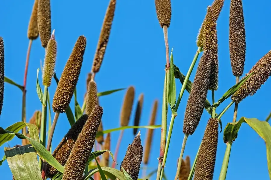
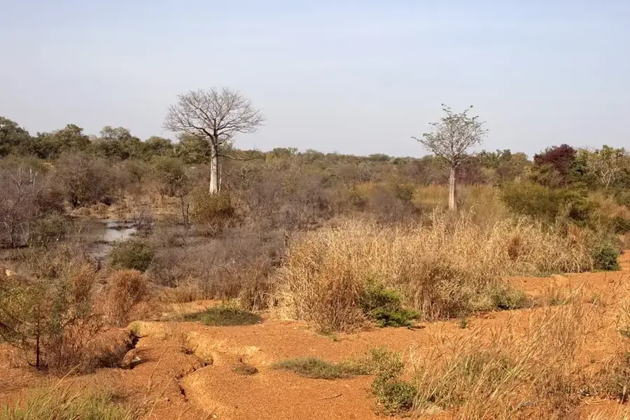
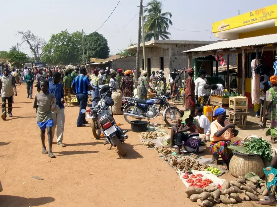
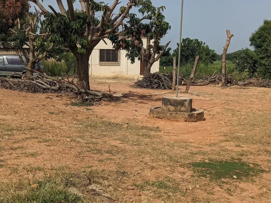
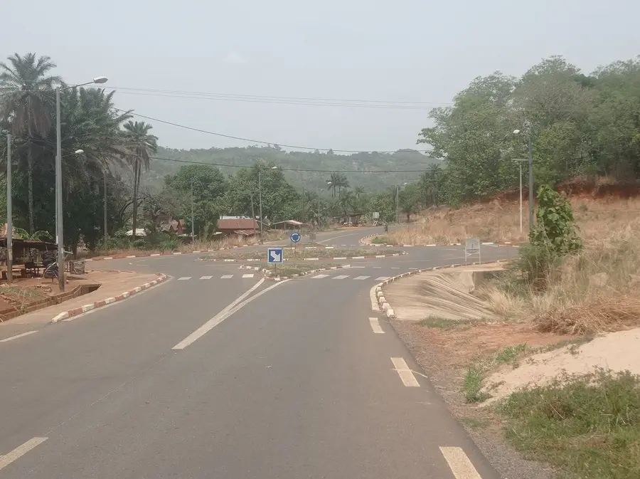
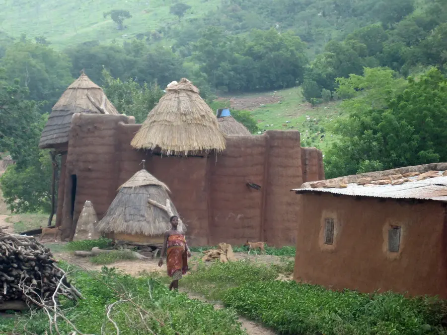
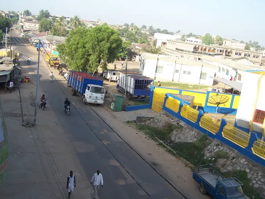
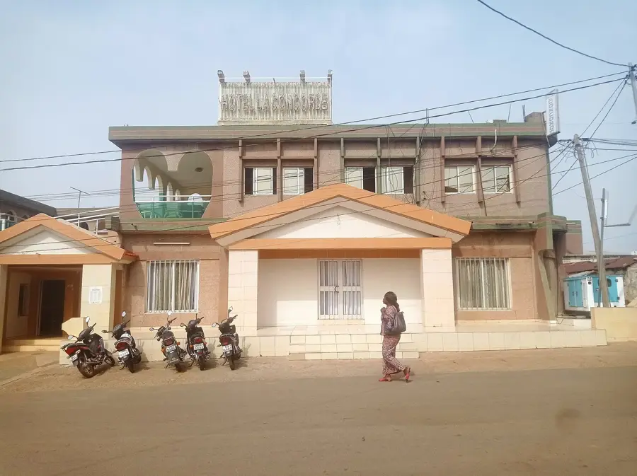
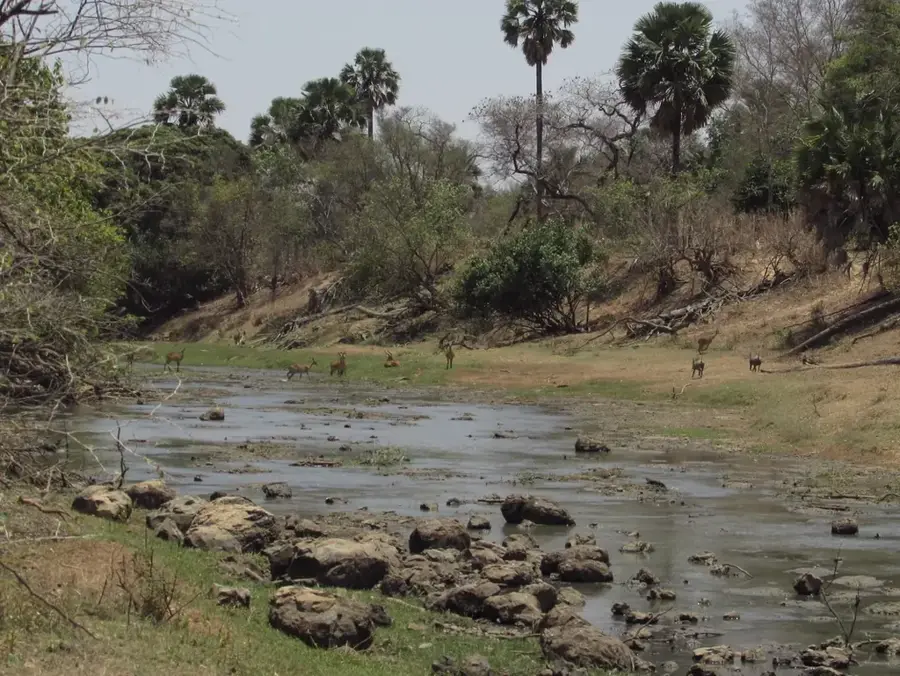
Kandé sits about 50 kilometres north of Kara on National Road 17 and is the capital of Kéran Prefecture in the Kara Region. The town is the principal gateway for travellers visiting the UNESCO World Heritage site of Koutammakou, the land of the Batammariba (also known as the Tamberma). This community is famed for its unique fortified mud tower-houses called takienta, designed as family fortresses combining living, storage and ritual spaces. The towers - often five to eight metres tall - define the dry savanna landscape and have been protected by UNESCO since 2004. Kandé itself hosts an important market every Wednesday, drawing traders from Benin and Burkina Faso. The surrounding region is known for its fertile plateaus where yams, maize, millet and groundnuts are grown. Hunting traditions and the careful guardianship of sacred forests also play a central cultural role here.
- Location: Togo
- Nearby: Niamtougou (21 km)
- Population: ~12.970 (2024)
Best time to visit & climate
The most pleasant time to visit is Jan, Nov, Dec.
| Jan | Feb | Mar | Apr | May | Jun | Jul | Aug | Sep | Oct | Nov | Dec | |
|---|---|---|---|---|---|---|---|---|---|---|---|---|
| Avg °C | 24 | 27 | 30 | 29 | 28 | 26 | 25 | 25 | 25 | 26 | 25 | 24 |
| Rain mm | 2 | 7 | 25 | 83 | 142 | 173 | 236 | 274 | 219 | 107 | 9 | 1 |
Geography
Facts
- Kandé is the main access point to the UNESCO World Heritage site of Koutammakou.
- The town serves as the administrative capital of Kéran Prefecture.
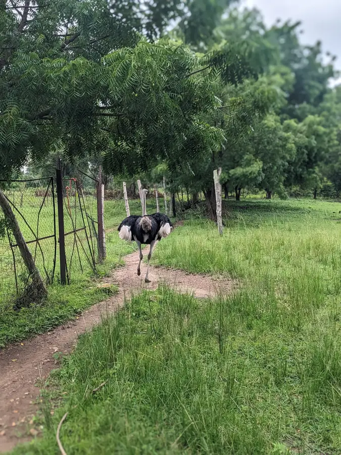
- The nearby Kéran National Park is known for its elephant population.
- Kandé is located approximately 500 kilometers north of Lomé.
- The Batammariba culture with its mud tower-houses shapes the surrounding area.
- The town is a key market for agricultural products in the north.
Explore nearby
Notable places around
Route planner — Car & Motorhome
Where do you start? We build the route here, with stops and country notes along the way.
© OpenStreetMap contributors · OpenRouteService
Sights in the town Kandé (1)
Frequently asked questions
How many days should I spend in Kandé?
When is the best season for Kandé?
How to get to Kandé?
What should I eat in Kandé?
Is Kandé family friendly?
Kandé: where is it located?
Kandé: when is the best time to visit?
Kandé: why is it worth visiting?

Nearby cities


History & landmarks

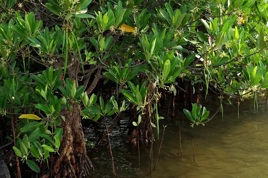
Nature

More places