Plizio Visual Lab
Mô
ℹ️Practical info — Mô
▾
🌤 Weather — 5 days
📍 Nearby
Sights nearby
💡 Tips
- Accessibility: Roads into the Mô Valley are challenging; a 4x4 vehicle is essential, especially during the rainy season.
- Cash Essentials: There are no ATMs in the area; bring sufficient cash from Sokodé or Atakpamé before arriving.
- Traditions: This is a very traditional region; always ask for permission before taking photos of people or homesteads.
- Nature Trekking: The surrounding mountains offer incredible hiking, but always go with a local guide who knows the paths.
- Greetings: Respect for elders is paramount; a formal greeting in the local language is highly valued.
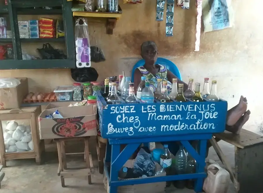
🍽 Food
Freshly harvested yam, often pounded or boiled, forms the basis of almost every meal in this region.
A hearty dish featuring local game meat and spices, often found in small family-run eateries.
A traditionally brewed, slightly sour beverage often shared during communal gatherings.
🛍 Shopping · 🧘 Quiet spots
The region produces sturdy and beautifully decorated baskets handcrafted from local grasses.
Freshly collected honey from the forests with a unique, robust floral aroma.
Look for traditionally woven cotton fabrics that often feature local geometric patterns.
An untouched spot good for nature watching and relaxing in complete silence.
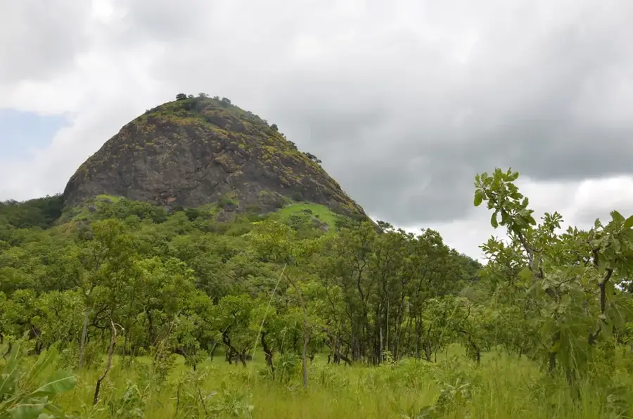
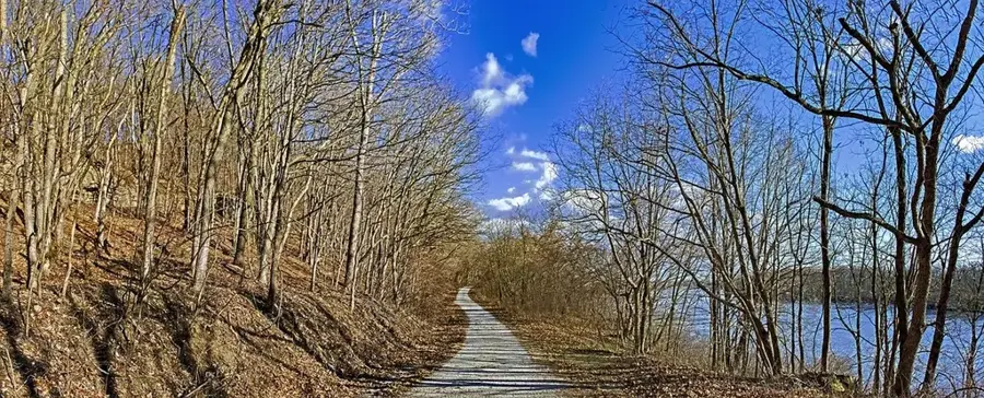
Hike to the edges of the valley for an expansive view over the pristine nature of the Mô Plain.
Water temperature…
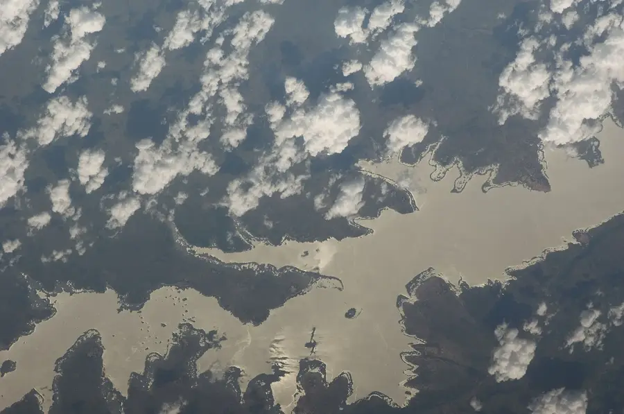
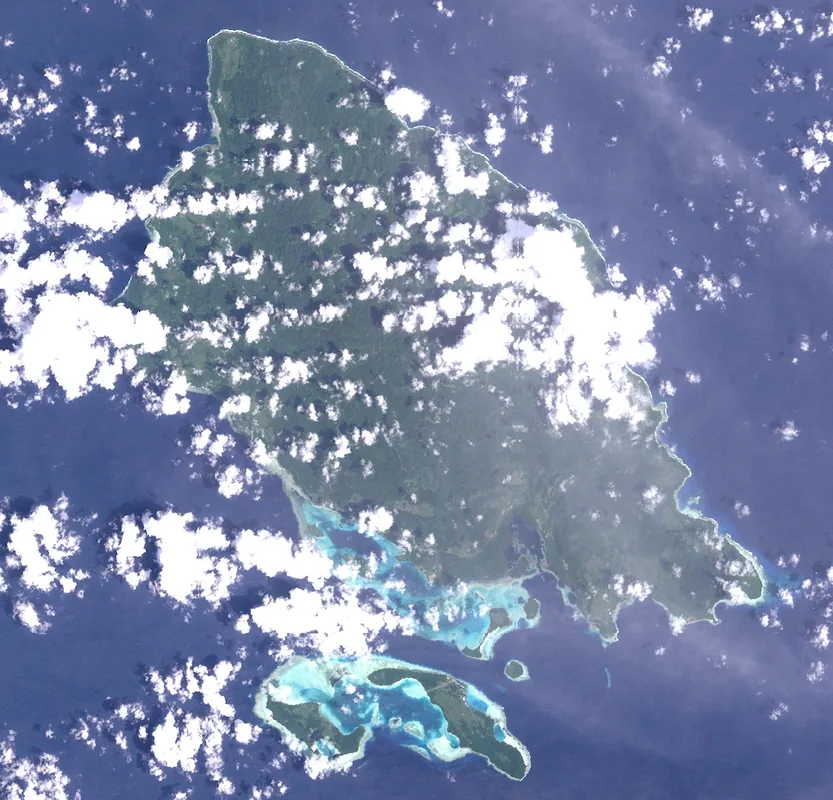
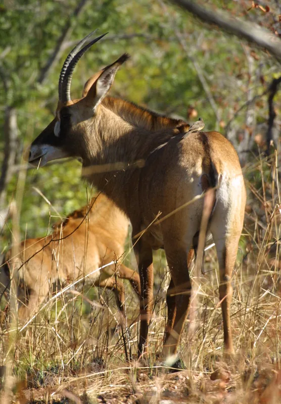
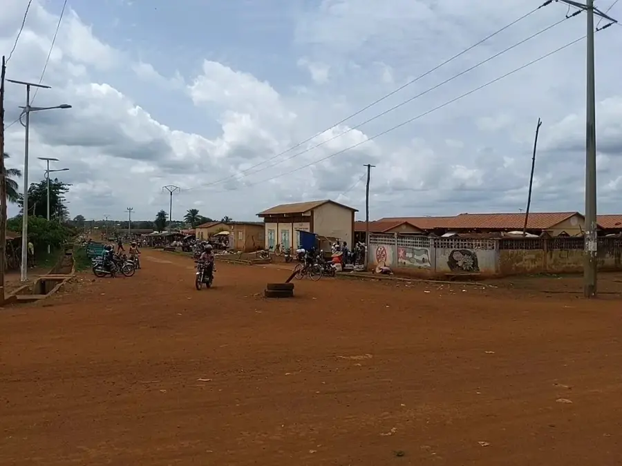
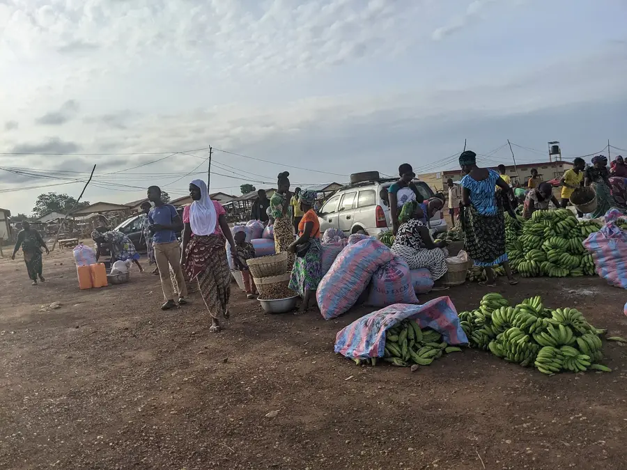
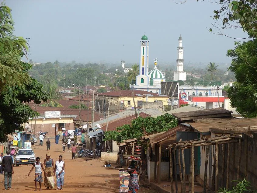
Mô is a small, remote town in the Centrale Region, located in the valley of the Mô River - a tributary of the Oti that gave the town its name. The town belongs to Bassar Prefecture and is reachable only via a little-travelled track, which adds to its unspoilt atmosphere. The surroundings of Mô are among the most ecologically valuable areas of Togo: dense gallery forests, acacia savannas and the nearby Fazao-Malfakassa Faunal Reserve, one of the country's largest protected areas, home to elephants, baboons, antelopes and rare bird species. The local population is composed mainly of Bassar and Konkomba people, whose lifestyle is closely attuned to the rhythms of nature - traditional rock paintings and initiation sites testify to their rich history. Economically the town relies on subsistence farming, the gathering of medicinal plants and the traditional smelting of iron, a craft that survives in nearby villages.
- Location: Togo
- Nearby: Fazao-Malfakassa National Park (41 km)
Best time to visit & climate
The most pleasant time to visit is Jan, Nov, Dec.
| Jan | Feb | Mar | Apr | May | Jun | Jul | Aug | Sep | Oct | Nov | Dec | |
|---|---|---|---|---|---|---|---|---|---|---|---|---|
| Avg °C | 26 | 28 | 29 | 28 | 27 | 26 | 25 | 25 | 25 | 26 | 26 | 25 |
| Rain mm | 7 | 11 | 45 | 104 | 134 | 166 | 219 | 221 | 227 | 130 | 13 | 3 |
Geography
Facts
- Located in an isolated plain between mountains and the border.
- Access often only possible via tracks impassable in the rain.
- Adjacent to the Fazao-Malfakassa National Park.
- Rich in original flora and fauna.
- Low population density and traditional lifestyle.
- Important sanctuary for wildlife.
Explore nearby
Notable places around
Route planner — Car & Motorhome
Where do you start? We build the route here, with stops and country notes along the way.
© OpenStreetMap contributors · OpenRouteService
Frequently asked questions
Time?
When?
Arrival?
Food?
Safe?
Mô: where is it located?
Mô: when is the best time to visit?
Mô: why is it worth visiting?

Nearby cities

History & landmarks
Nature
More places