Plizio Visual Lab
Kpagouda

ℹ️Practical info — Kpagouda
▾
🌤 Weather — 5 days
📍 Nearby
Sights nearby
💡 Tips
- Visit the region during the Evala wrestling festival in July to see traditional Kabyè ceremonies, but book your accommodation well in advance.
- The hilly terrain in and around Kpagouda can be uneven; sturdy walking shoes are highly recommended.
- Bring enough cash (CFA francs) as ATMs are scarce and credit cards are not accepted in local markets.
- Always respectfully ask for permission before photographing locals, especially elders or during ceremonies.
- Learn a few greeting words in Kabyè or French; it opens many doors and brings a smile to people's faces.
🍽 Food
Try the staple dish of pounded yam served with a rich sauce at local maquis (small eateries).
Sample this traditional millet beer, often brewed locally by women and served in calabash bowls.
Look for street vendors in the evening near the town center grilling spiced meat skewers.
🛍 Shopping · 🧘 Quiet spots
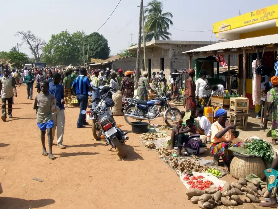
Visit the market for fresh produce, spicy condiments, and colorful fabrics (pagne) sold by local vendors.
Look for handmade pottery crafted by artisans in the surrounding villages.
Hike up into the surrounding hills early in the morning to enjoy serene views over the Kara region.
Take a walk along the paths connecting the traditional compound houses (soukalas) to absorb the rural atmosphere.
Water temperature…
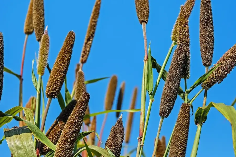
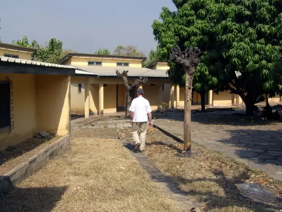
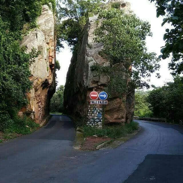
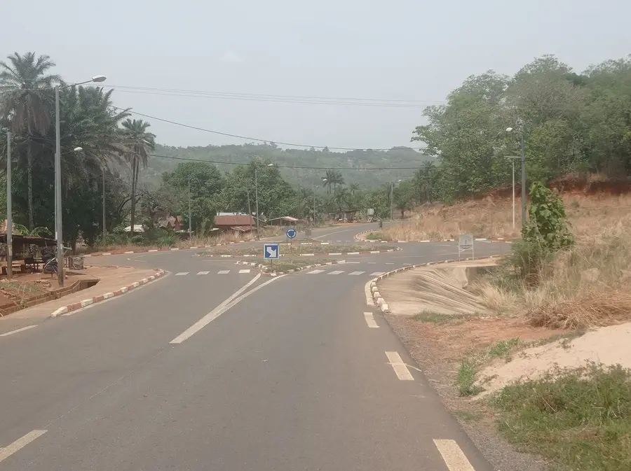
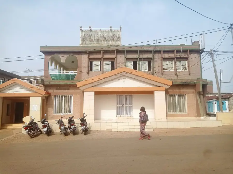
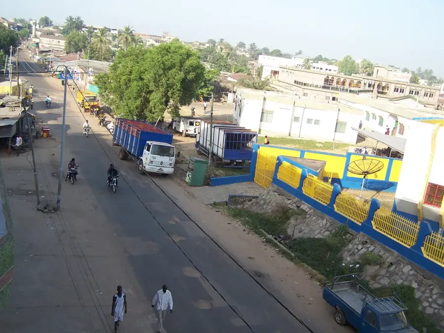
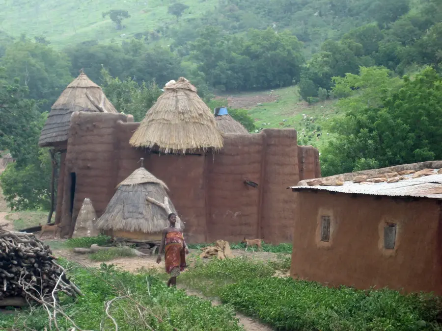
Kpagouda lies in the northern Kara Region, some 30 kilometres northeast of the regional capital Kara, set within the hilly landscape of Kabyè country. The town belongs to Doufelgou Prefecture and is an important cultural centre for the Kabyè people. Kpagouda is renowned especially for the annual Evala initiation wrestling and the Akpema festival of young women, traditional rites marking the passage to adulthood. The surrounding landscape is shaped by granite domes, terraced fields and gentle slopes used for millet, sorghum, groundnut and yam cultivation. The population maintains a strong communal life organised through traditional clan systems that govern social and religious affairs. Economically, the town is gradually developing, with schools, health centres and small processing units appearing. The weekly market also draws farmers and traders from surrounding villages, making Kpagouda a local administrative and economic centre.
- Location: Togo
- Nearby: Sanda-Kagbanda (13 km)
- Population: ~7.686 (2012)
Best time to visit & climate
The most pleasant time to visit is Jan, Nov, Dec.
| Jan | Feb | Mar | Apr | May | Jun | Jul | Aug | Sep | Oct | Nov | Dec | |
|---|---|---|---|---|---|---|---|---|---|---|---|---|
| Avg °C | 24 | 27 | 30 | 29 | 28 | 26 | 25 | 25 | 25 | 26 | 25 | 24 |
| Rain mm | 2 | 7 | 25 | 83 | 142 | 173 | 236 | 274 | 219 | 107 | 9 | 1 |
Geography
Facts
- Administrative seat of the Binah Prefecture.
- Important regional marketplace for crafts and agricultural produce.
- Offers wide panoramic views over the Binah Valley.
- Hub for local government authorities.
- Home to several educational institutions in the region.
- Characterized by a hilly topography.
Explore nearby
Notable places around
Route planner — Car & Motorhome
Where do you start? We build the route here, with stops and country notes along the way.
© OpenStreetMap contributors · OpenRouteService
Sights in the town Kpagouda (1)
Frequently asked questions
What is special about Kpagouda?
Is there accommodation available there?
What is the climate like in Kpagouda?
Is there hiking available there?
Is it safe to visit Kpagouda?
Kpagouda: where is it located?
Kpagouda: when is the best time to visit?
Kpagouda: why is it worth visiting?

Nearby cities


History & landmarks
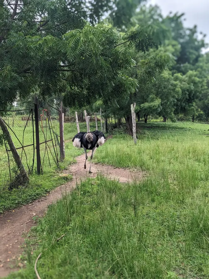
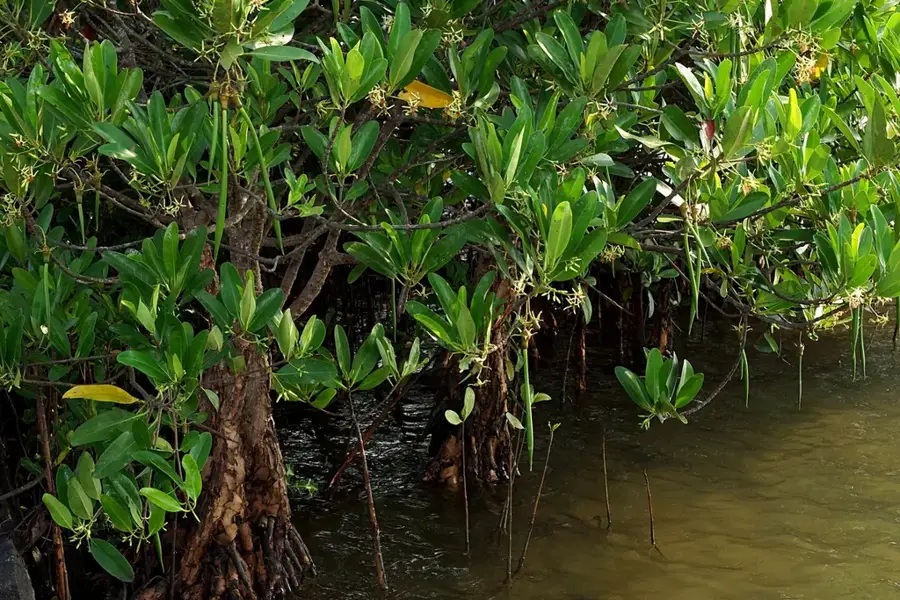
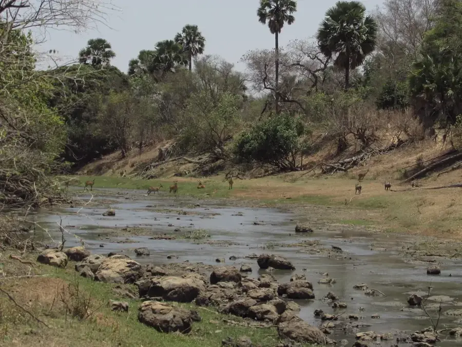
Nature

More places