Plizio Visual Lab
Kabyè Mountains

Weather…
Water temperature…
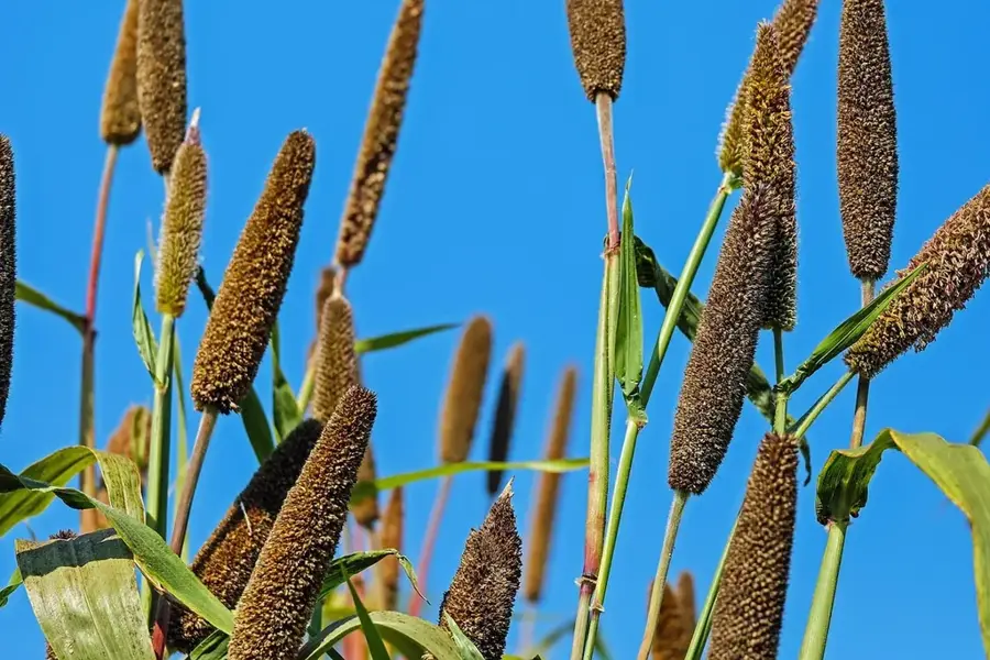
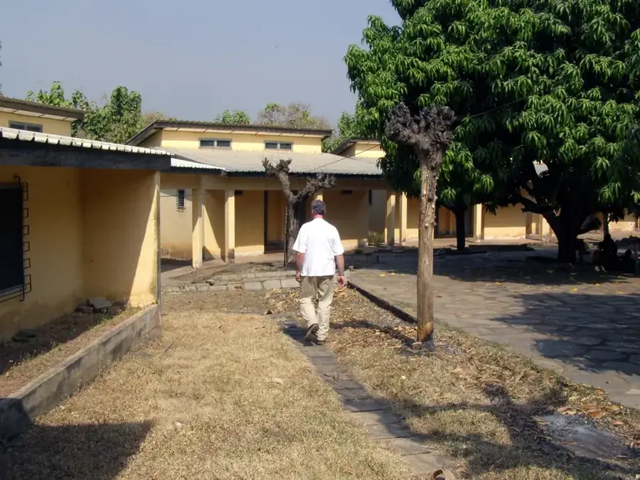
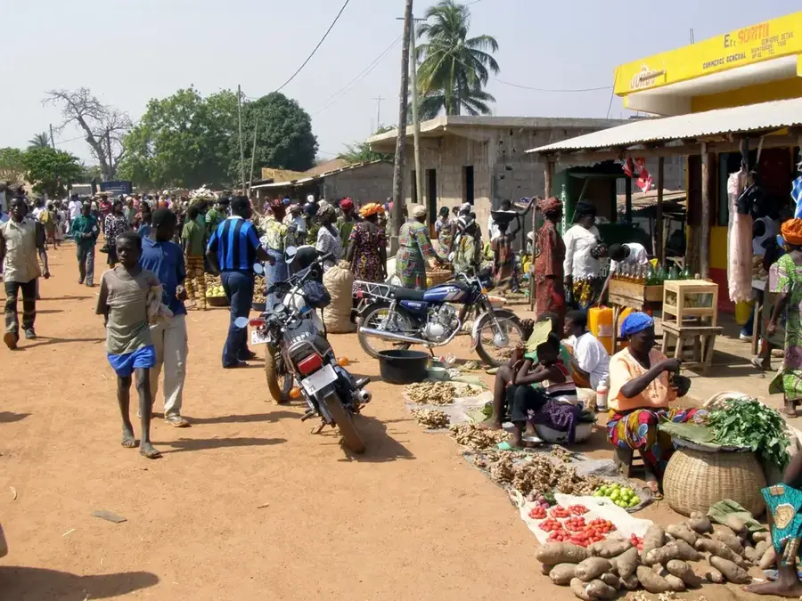
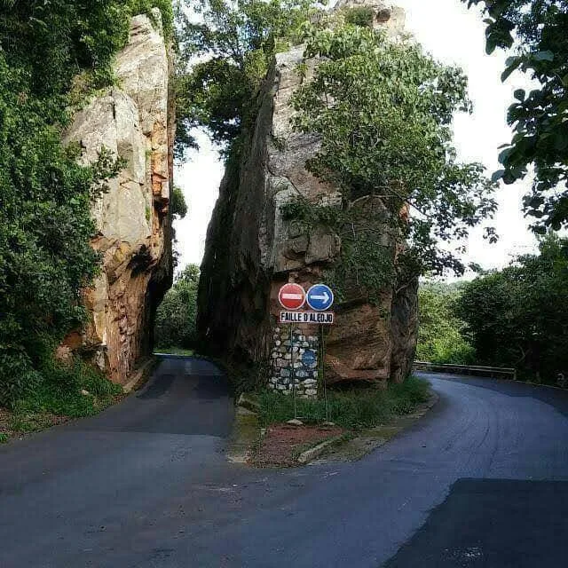
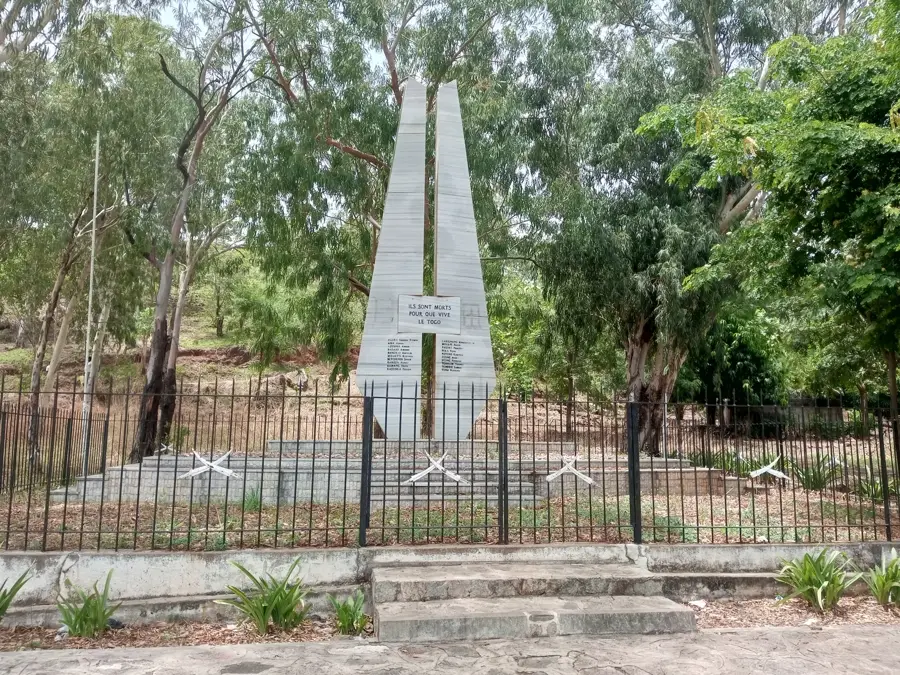
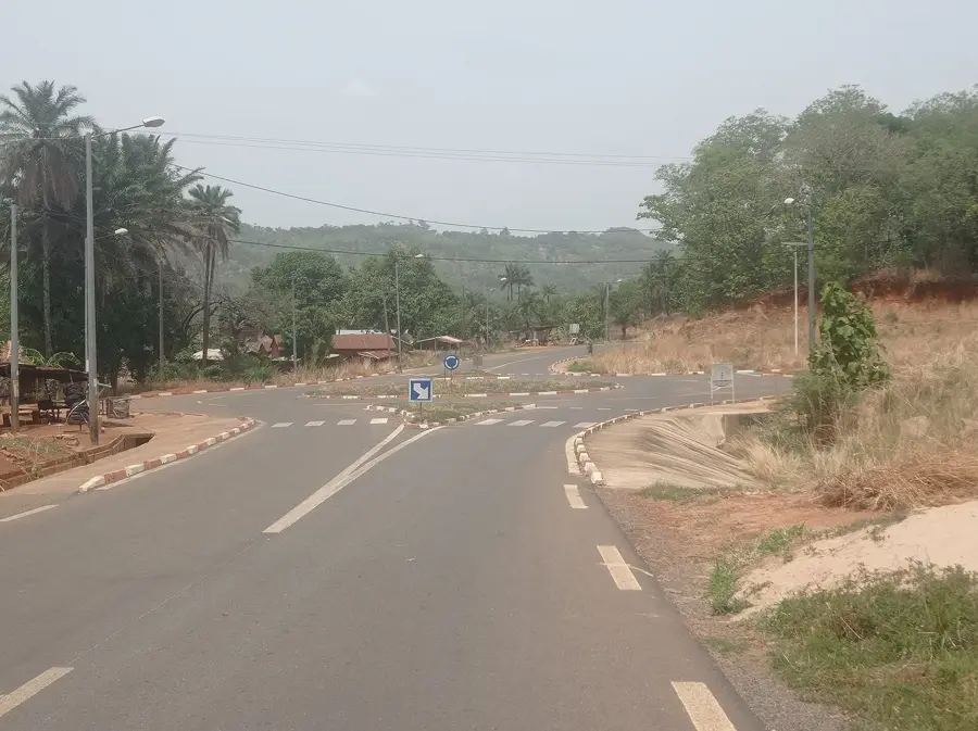
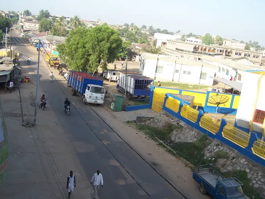
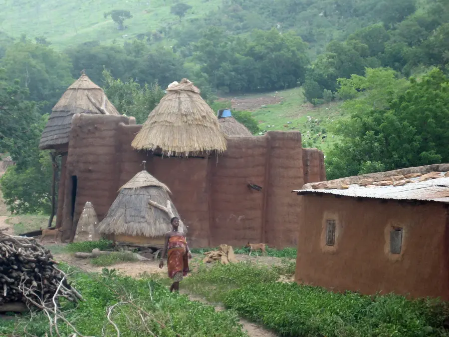
The Kabyè Mountains are located in northern Togo in the Kara Region and are world-renowned for the unique terrace farming techniques of the Kabyè people. The mountains are characterized by a rugged, stony landscape that inhabitants have transformed through centuries of labor into fertile agricultural land. Often called 'stone farmers,' the Kabyè use skillful dry-stone walling to prevent erosion, enabling the cultivation of millet, sorghum, and yams on steep slopes. Geologically, the mountains consist of ancient crystalline rocks such as gneiss and schist, forming part of the Atakora mountain system. The region around Kara is not only an agricultural marvel but also a cultural hub where traditional rites, such as the Evala wrestling competitions, are deeply rooted. The landscape provides impressive panoramic views over the northern plains and stands as a testament to human ingenuity in coping with challenging environmental conditions. Despite the harsh terrain, the mountains are densely populated and form the social backbone of northern Togo.
- Location: Togo
- Nearby: Yadé (7 km)
Best time to visit & climate
The most pleasant time to visit is Jan, Nov, Dec.
| Jan | Feb | Mar | Apr | May | Jun | Jul | Aug | Sep | Oct | Nov | Dec | |
|---|---|---|---|---|---|---|---|---|---|---|---|---|
| Avg °C | 25 | 28 | 29 | 28 | 27 | 26 | 25 | 24 | 25 | 25 | 26 | 25 |
| Rain mm | 4 | 11 | 38 | 89 | 125 | 147 | 197 | 208 | 207 | 118 | 11 | 2 |
📋 Practical info
Geography
Facts
- The mountains are famous for their ancient stone-walled terraces.
- The people are known as the 'Paysans de la pierre' (Stone Farmers).
- The range is part of the larger Atakora quartzite fold belt.
- Kara, Togo's second-largest city, is located at the mountain base.
- The Evala wrestling festivals are a major annual cultural attraction.
- Terracing allows for high-density farming in a rugged environment.
Explore nearby
Notable places around
Route planner — Car & Motorhome
Where do you start? We build the route here, with stops and country notes along the way.
© OpenStreetMap contributors · OpenRouteService
Sights nearby
Frequently asked questions
What is culturally special about the Kabyè mountains?
Can one visit the traditional villages?
How strenuous are the paths?
Where can one find local information?
Is the place suitable for photographers?
Kabyè Mountains: where is it located?
Kabyè Mountains: when is the best time to visit?
Kabyè Mountains: why is it worth visiting?

Nearby cities


History & landmarks
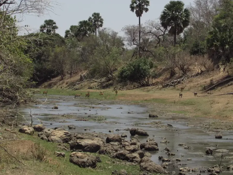
Nature

More places