Plizio Visual Lab
Kanté
ℹ️Practical info — Kanté
▾
🌤 Weather — 5 days
📍 Nearby
Sights nearby
💡 Tips
- Gateway to Koutammakou: Use Kanté as your base for visiting the Tata Somba (UNESCO site); it is best to hire a guide here.
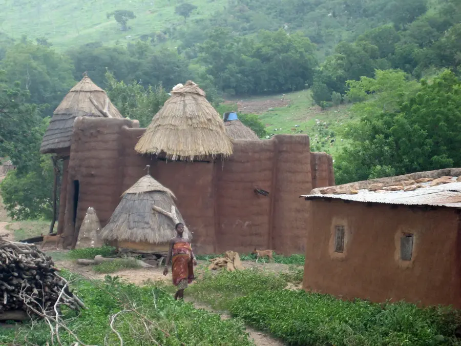
- Architecture: Notice the unique mud-tower designs even in the town's outskirts, reflecting the local building style.
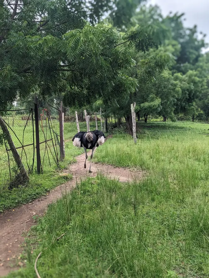
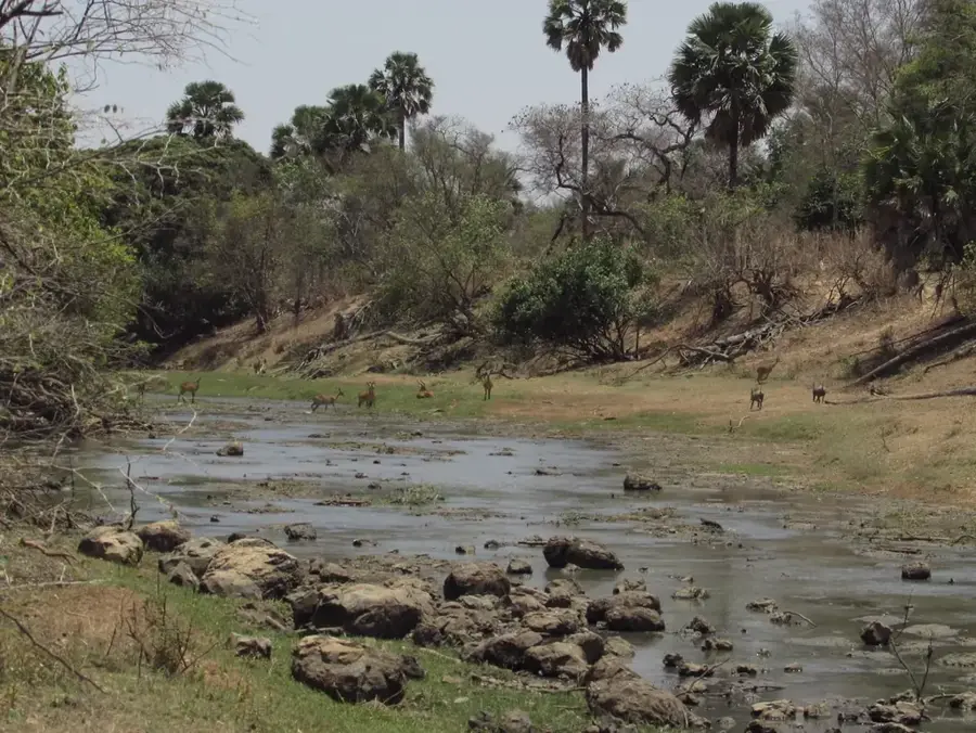
- Kéran Park: The town is close to the Kéran National Park; check local conditions for wildlife viewing opportunities.
- Photography: The golden hour (late afternoon) makes the mud walls of the houses glow beautifully.
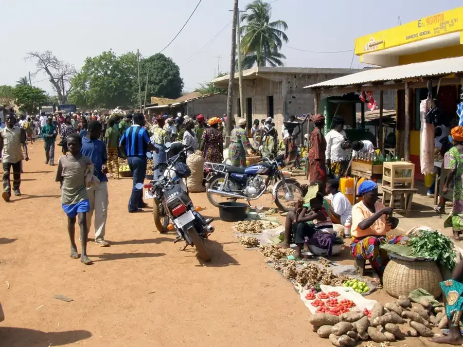
- Market Life: The local market is a great place to see the intersection of modern trade and Tamberma traditions.
🍽 Food
A nutritious staple of the north, often served with a savory sauce made from dried fish or leaves.
In this drier region, smoked meat is a local specialty known for its intense flavor and preservation.
Various types of yams and cassava, often roasted or served as a base for spicy traditional sauces.
🛍 Shopping · 🧘 Quiet spots
Purchase small, handcrafted mud models of the famous tower houses as a unique souvenir.
The north is famous for high-quality, pure shea butter, often sold fresh in the local markets.
Look for handcrafted jewelry made from glass or clay beads, typical of the Tamberma style.
From the rises on the outskirts, you can get an expansive view over the plains toward Koutammakou.
A peaceful area by the river, located a comfortable distance from the N1 highway noise.
Quiet walking paths outside the town center lead past beautiful traditional homesteads.
Water temperature…
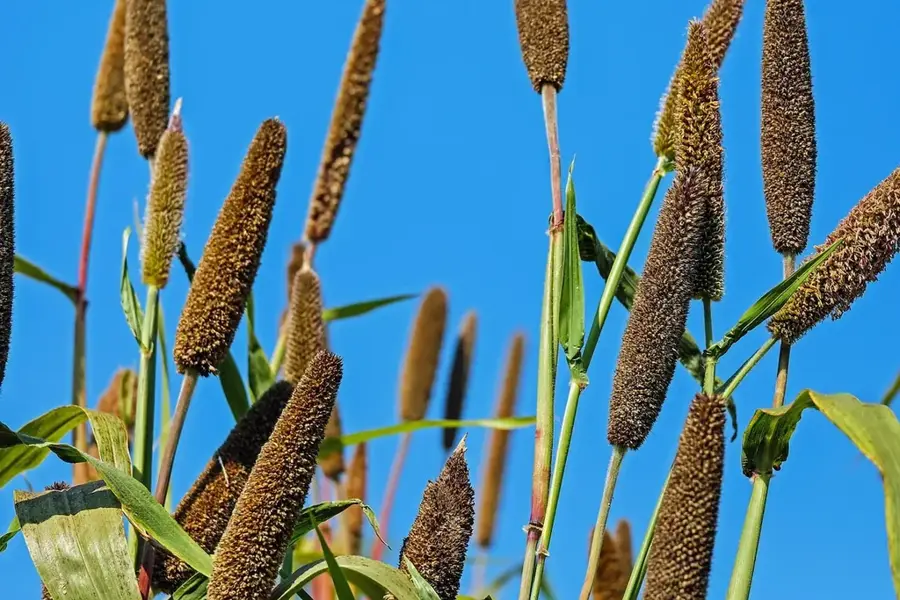
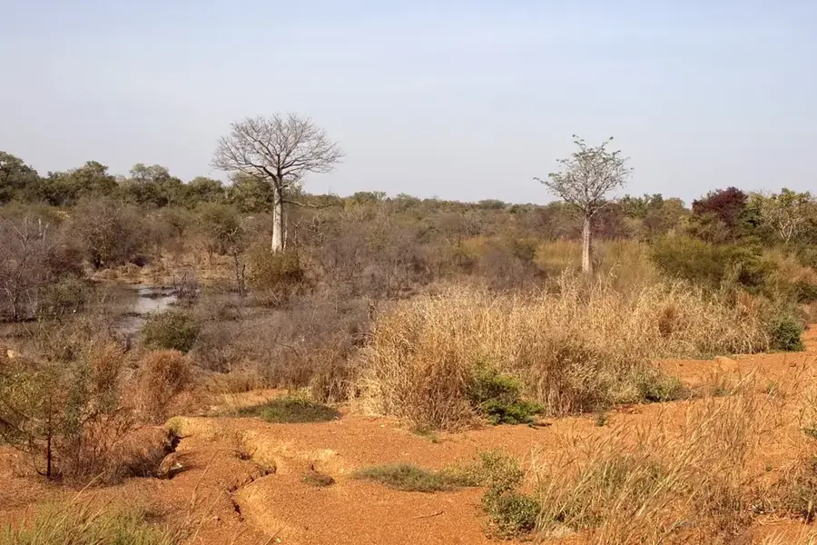
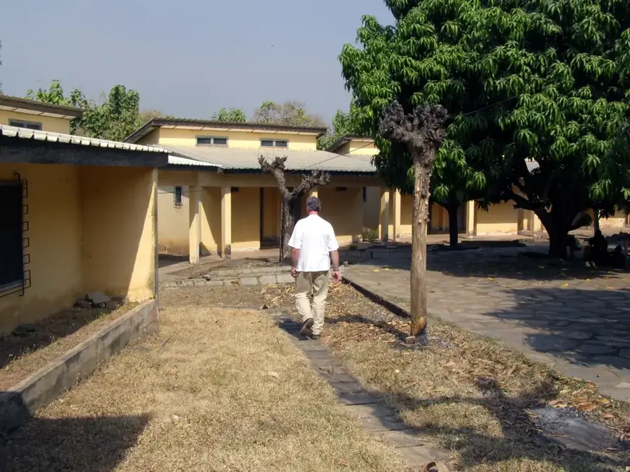
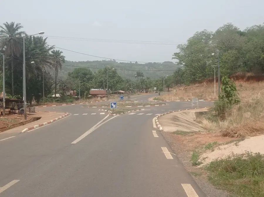
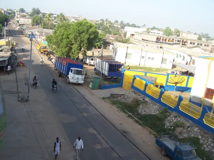
Kanté lies on National Road 17 in Kéran Prefecture (Kara Region), about 40 kilometres north of Kara city, and serves as the supply and administrative hub for the surrounding Tamberma villages. The town is closely tied to the Koutammakou World Heritage site and frequently hosts tourists travelling to see the iconic mud tower houses. Kanté is characterised by a multi-ethnic population in which Tamberma, Lamba and Moba peoples live peacefully side by side, each contributing their own customs, languages and architectural traditions. Economically, the town benefits from its position on a major transport corridor; yams, maize, groundnuts and millet are traded at the weekly market. A speciality is the carved wooden mortars made here for pounding yams, sold as far as Lomé. The surrounding countryside includes the foothills of the Atakora Mountains, convenient for hiking, and several small natural waterholes.
- Location: Togo
- Top sights: Kéran Prefecture · Kandé
- Nearby: Niamtougou (21 km)
- Population: ~12.970 (2024)
Best time to visit & climate
The most pleasant time to visit is Jan, Nov, Dec.
| Jan | Feb | Mar | Apr | May | Jun | Jul | Aug | Sep | Oct | Nov | Dec | |
|---|---|---|---|---|---|---|---|---|---|---|---|---|
| Avg °C | 24 | 27 | 30 | 29 | 28 | 26 | 25 | 25 | 25 | 26 | 25 | 24 |
| Rain mm | 2 | 7 | 25 | 83 | 142 | 173 | 236 | 274 | 219 | 107 | 9 | 1 |
Geography
Facts
- Gateway to Koutammakou (UNESCO World Heritage site).
- Famous for its proximity to the Takienta mud fortresses.
- Located in the Kéran Prefecture of the Kara Region.
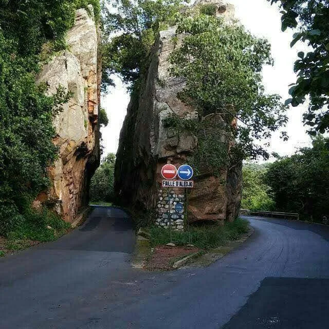
- Landscape characterized by baobabs and granite formations.
- Center for Tamberma handicrafts.
- Important stop for ecotourism in Togo.
Explore nearby
Notable places around
Route planner — Car & Motorhome
Where do you start? We build the route here, with stops and country notes along the way.
© OpenStreetMap contributors · OpenRouteService
Sights in the town Kanté (2)
Frequently asked questions
How many days should I plan for visiting Kanté?
When is the best time to visit Kanté?
Is Kanté family-friendly?
What is the best way to get to Kanté?
What local dishes should I try?
Kanté: where is it located?
Kanté: what is there to see?
Kanté: when is the best time to visit?
Kanté: why is it worth visiting?

Nearby cities

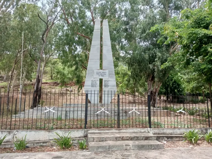


History & landmarks

Nature

More places