Plizio Visual Lab
Sirka
ℹ️Practical info — Sirka
▾
🌤 Weather — 5 days
📍 Nearby
Sights nearby
💡 Tips
- Plan your hike to the viewpoints for early morning before the midday heat becomes intense.
- Spiritual traditions are strong here; never enter marked sacred groves without local permission.
- If visiting in November, ask if the rare Habye festival (held every five years) is taking place.
- Wear sturdy boots as the agricultural terraces are steep and can be very rocky underfoot.
- Hire a local guide to explain the cultural significance of the 'singing stones' and ritual sites.
🍽 Food
A nutritious staple dish often eaten communally in the Sirka area.
In mountain villages, you may occasionally find stalls offering grilled wild meats.
A specific type of millet beer brewed for harvest and hunting ceremonies.
🛍 Shopping · 🧘 Quiet spots
Traditional hoes and tools forged in Sirka are unique examples of local metalwork.
Small stalls often sell dried medicinal plants and seeds gathered from the Kabyè ridges.
Features a sweeping panoramic view from the Kabyè ridges over the Sudan-Guinean savanna.
A mystical, shaded forest nearby known for its quiet and spiritual atmosphere.
Water temperature…
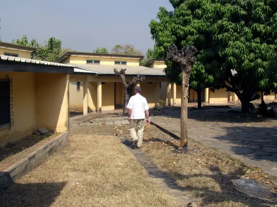
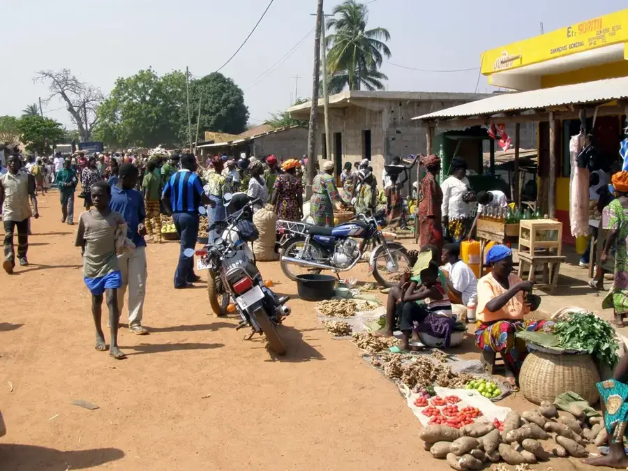
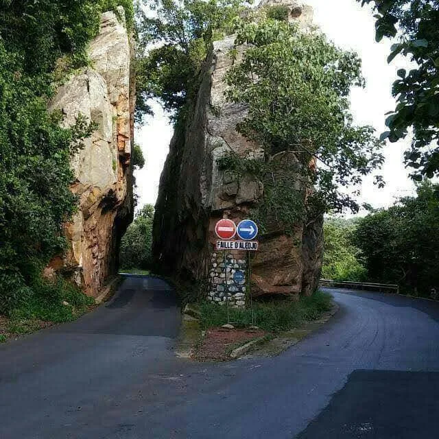
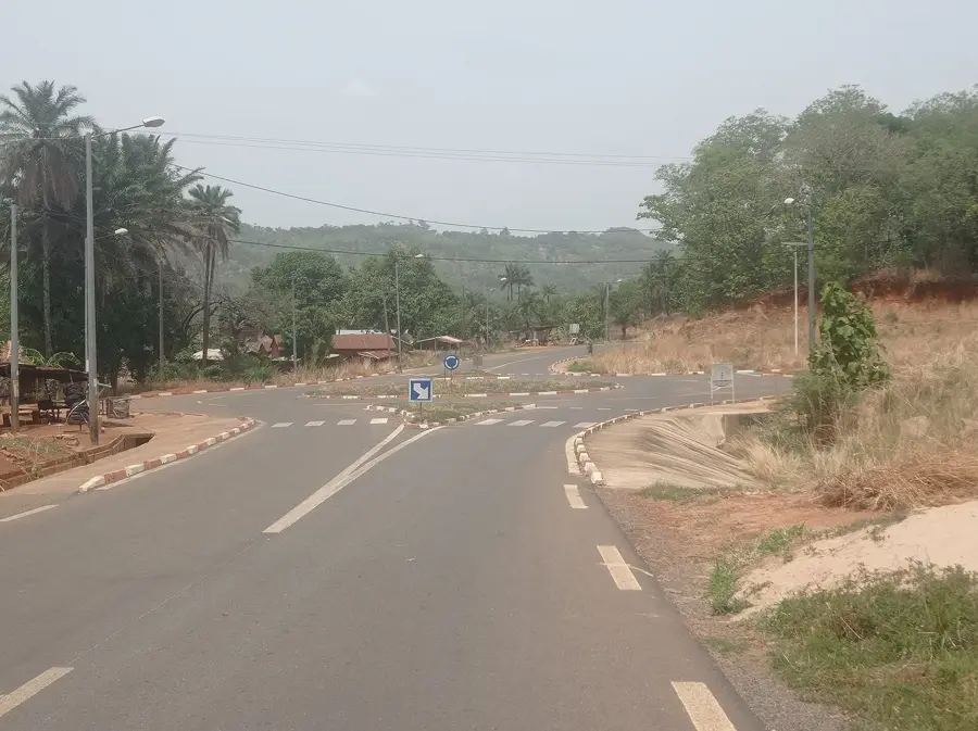
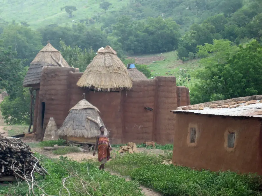
Sirka lies in Binah Prefecture in the Kara Region, set among the foothills of the Kabyè Mountains at roughly 500 metres altitude. The small settlement features a sweeping panoramic view over the wide savanna and the fertile valleys below, making it a popular vantage point. Sirka is considered a sacred site of the Kabyè people: traditional initiation and purification rituals are held on the steep rocks, and some rock formations are revered as the dwellings of the ancestors. The population lives mainly from subsistence farming with millet, sorghum and beans, supplemented by the gathering of wild fruits such as karité (shea butter) and néré, whose seeds are fermented into soumbala. The region is also famous for its rock paintings, which provide insights into its precolonial history. Hikers value the demanding trails that lead to caves and hidden springs in the surrounding hills.
- Location: Togo
- Top sights: Aghdara District · Agbang Conventual Priory
- Nearby: Sabi Lamba (9 km)
Best time to visit & climate
The most pleasant time to visit is Jan, Nov, Dec.
| Jan | Feb | Mar | Apr | May | Jun | Jul | Aug | Sep | Oct | Nov | Dec | |
|---|---|---|---|---|---|---|---|---|---|---|---|---|
| Avg °C | 25 | 28 | 29 | 28 | 27 | 26 | 25 | 24 | 25 | 25 | 26 | 25 |
| Rain mm | 4 | 11 | 38 | 89 | 125 | 147 | 197 | 208 | 207 | 118 | 11 | 2 |
Geography
Facts
- Sirka is located in close proximity to the border between Togo and Benin.
- The region is well known for the cultivation of millet, sorghum, and yams.
- The Kabyé Mountains reach elevations of up to 800 meters in this area.
- Traditional wrestling matches, known as Evala, are a vital cultural component.
- The village sits in a transition zone between savanna and highland landscapes.
- The distance to the regional capital of Kara is approximately 30 kilometers.
Explore nearby
Notable places around
Route planner — Car & Motorhome
Where do you start? We build the route here, with stops and country notes along the way.
© OpenStreetMap contributors · OpenRouteService
Sights in the town Sirka (2)
Frequently asked questions
Is Sirka a good stopover?
How to continue from Sirka?
Do they speak English there?
How is the mobile connection?
What is the currency?
Sirka: where is it located?
Sirka: what is there to see?
Sirka: when is the best time to visit?
Sirka: why is it worth visiting?

Nearby cities

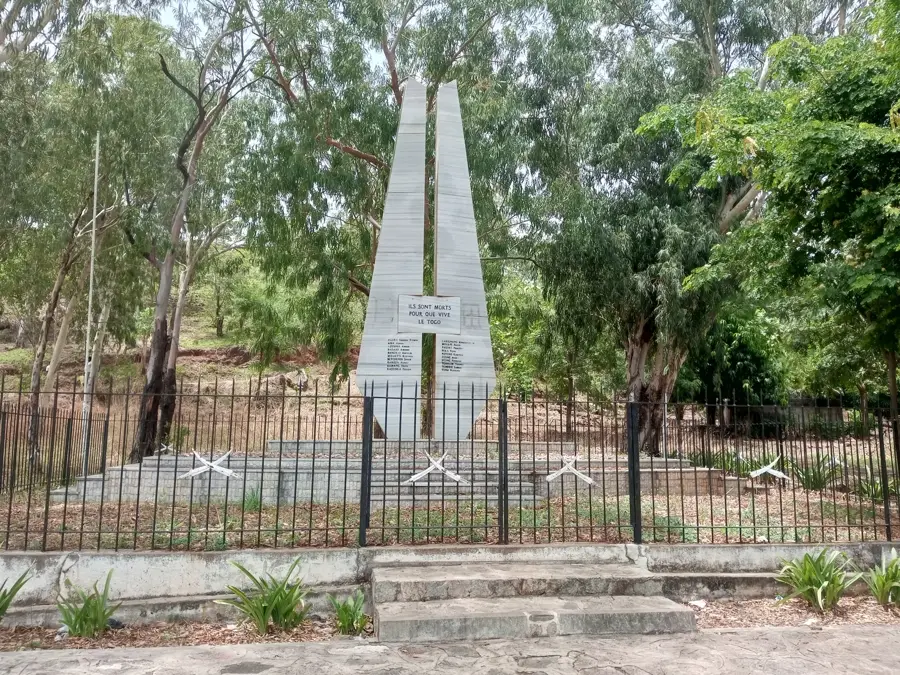

History & landmarks
Nature

More places