Plizio Visual Lab
Kara Bridge
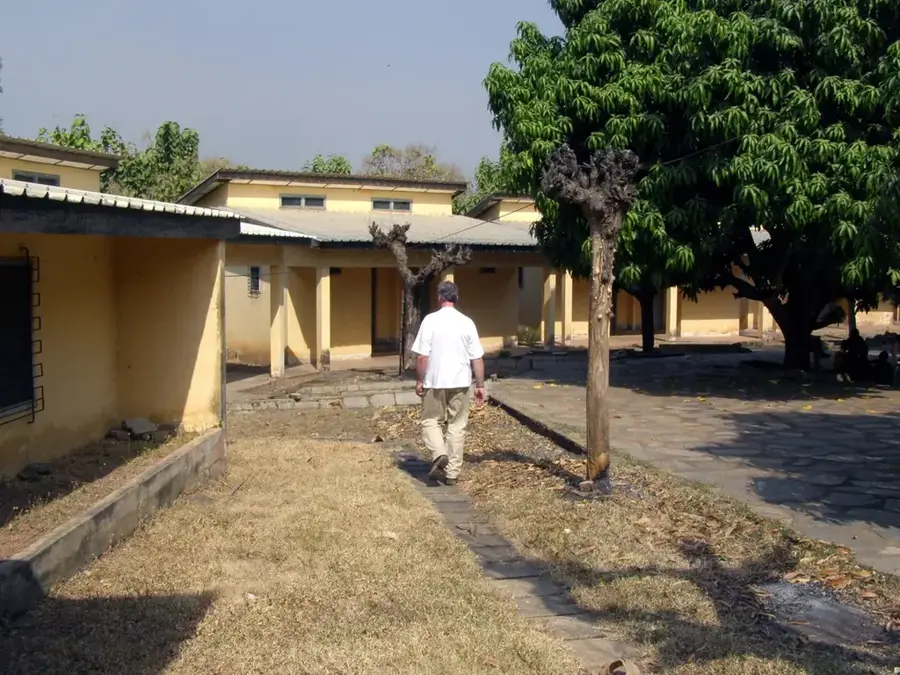
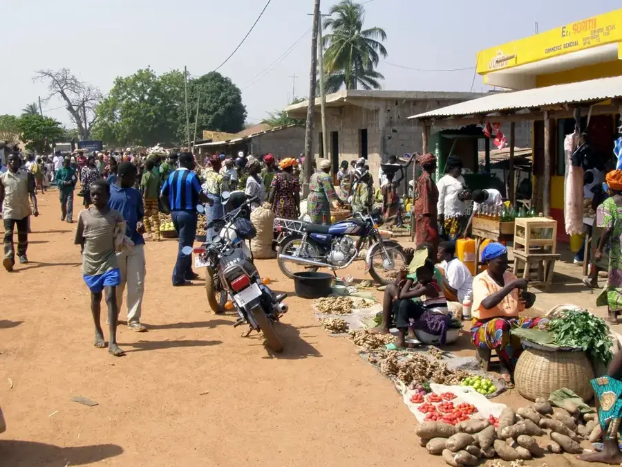
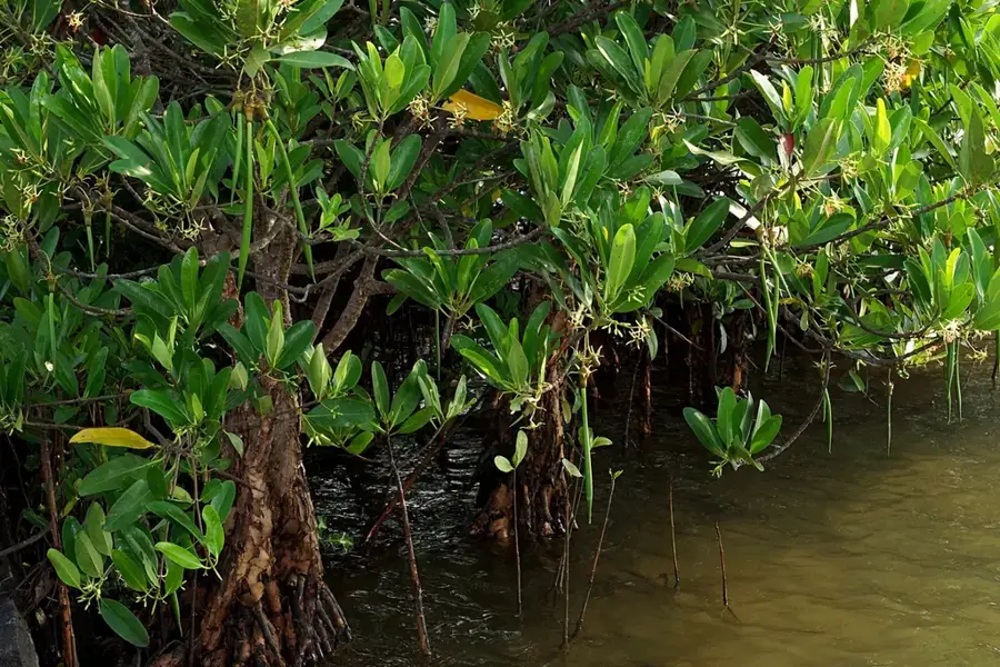
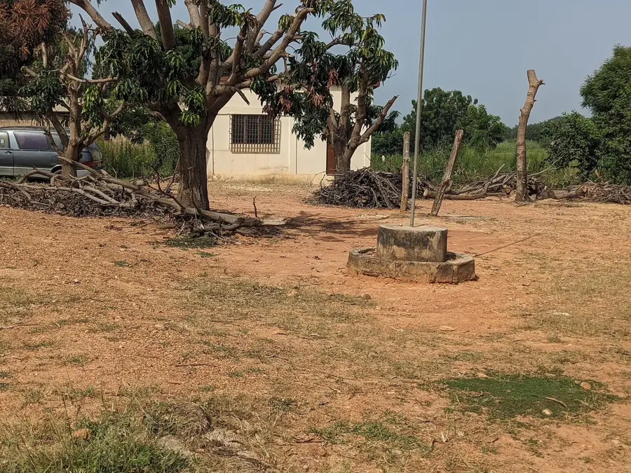
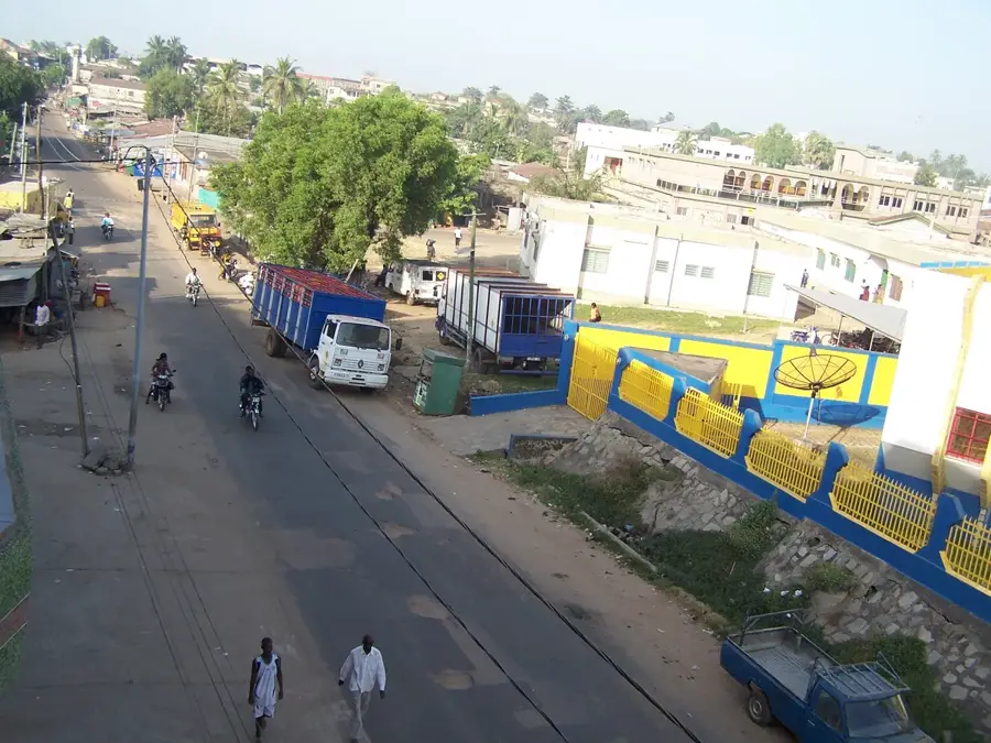
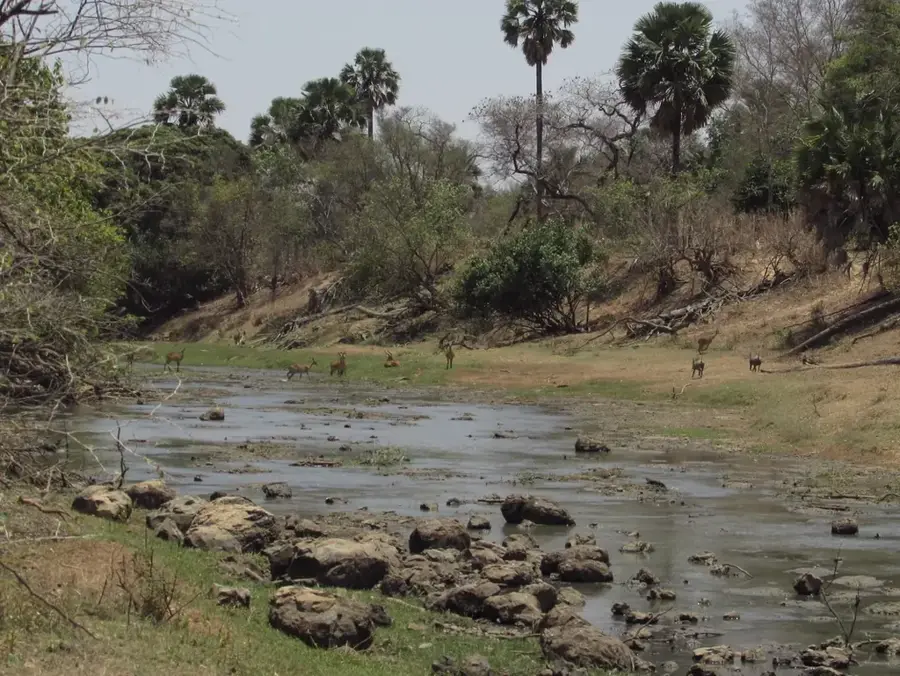
The Kara Bridge spans the Kara River, which flows through the city and eventually joins the Oti River. It is a vital infrastructure component that links the northern and southern parts of the city, facilitating traffic on Togo's primary north-south axis. This road is crucial for the transit of goods between the Port of Lomé and landlocked neighboring countries like Burkina Faso, Mali, and Niger. During the rainy season, the Kara River can swell significantly, making the bridge's robust engineering essential for year-round transport. The riverbank near the bridge is a common site for local social gatherings and traditional activities. From the bridge, one can enjoy a scenic view of the lush vegetation that lines the river's course. It serves not only as a transport route but also as a symbol of the Kozah region's integration with the rest of the nation. The bridge has been reinforced several times to accommodate increasing heavy truck traffic.
- Location: Togo
- Top sights: Paroisse Christ Sauveur de Kara Tomdè · Paroisse Catholique Sainte Monique de Lassa Elimdè · Paroisse de Tchintchinda
- Nearby: Pya (10 km)
Best time to visit & climate
The most pleasant time to visit is Jan, Nov, Dec.
| Jan | Feb | Mar | Apr | May | Jun | Jul | Aug | Sep | Oct | Nov | Dec | |
|---|---|---|---|---|---|---|---|---|---|---|---|---|
| Avg °C | 25 | 28 | 29 | 28 | 27 | 26 | 25 | 24 | 25 | 25 | 26 | 25 |
| Rain mm | 4 | 11 | 38 | 89 | 125 | 147 | 197 | 208 | 207 | 118 | 11 | 2 |
📋 Practical info
Geography
Facts
- The bridge spans the Kara River, a major tributary of the Oti River.
- It is a key strategic point on National Road 1 (Route Nationale 1).
- The original structure was reinforced to handle increasing heavy truck traffic.
- The Kara River has a total length of approximately 150 kilometers.
- The bridge connects the city's main educational and administrative centers.
- It is a crucial component of the 'Lomé-Ouagadougou' transit corridor.
Explore nearby
Notable places around
Route planner — Car & Motorhome
Where do you start? We build the route here, with stops and country notes along the way.
© OpenStreetMap contributors · OpenRouteService
Sights in the town Kara Bridge (3)
Sights nearby
Frequently asked questions
How important is the Kara bridge?
Can you cross it safely on foot?
Does the bridge offer a good view?
Is it accessible to trucks?
Are there good photo spots?
Kara Bridge: where is it located?
Kara Bridge: what is there to see?
Kara Bridge: when is the best time to visit?
Kara Bridge: why is it worth visiting?

Nearby cities


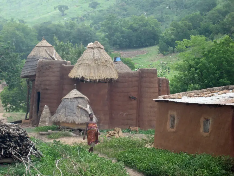
History & landmarks
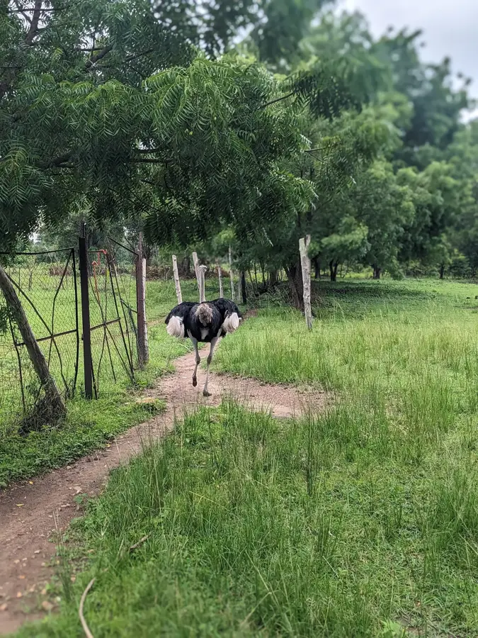
Nature

More places