Plizio Visual Lab
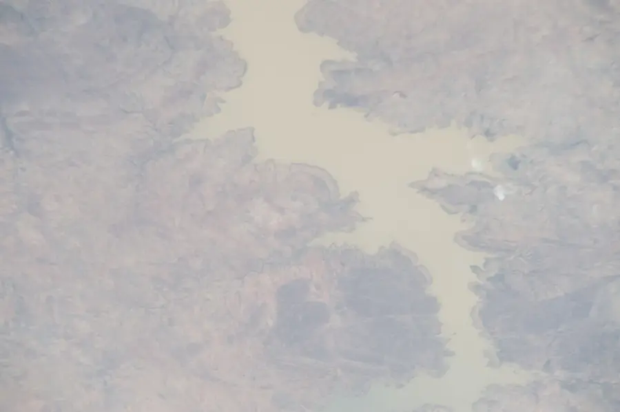
Kara River

Weather…
Water temperature…
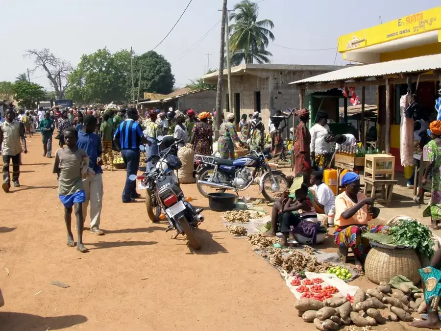
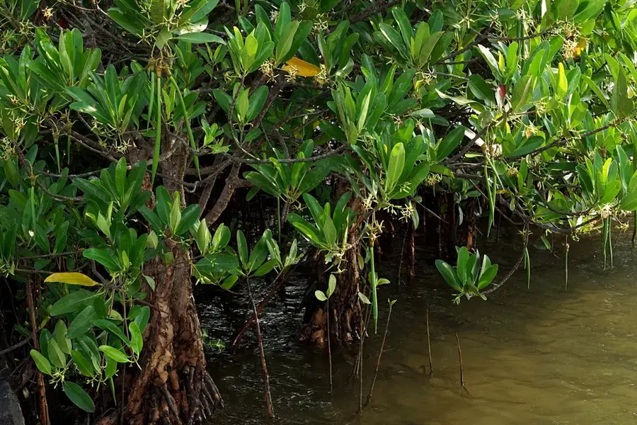
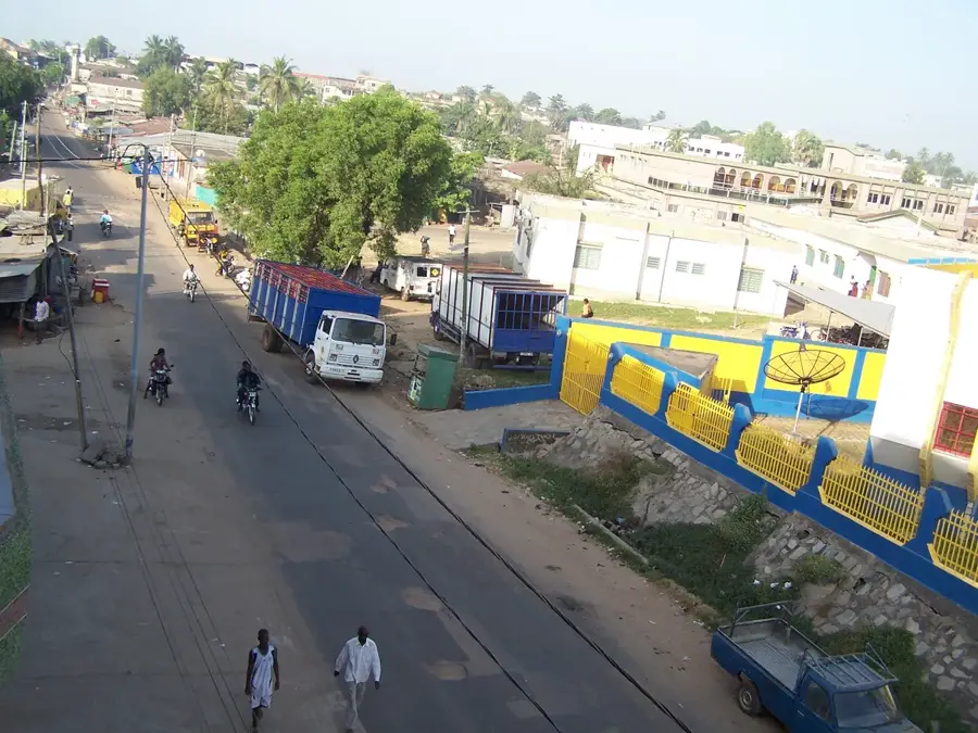
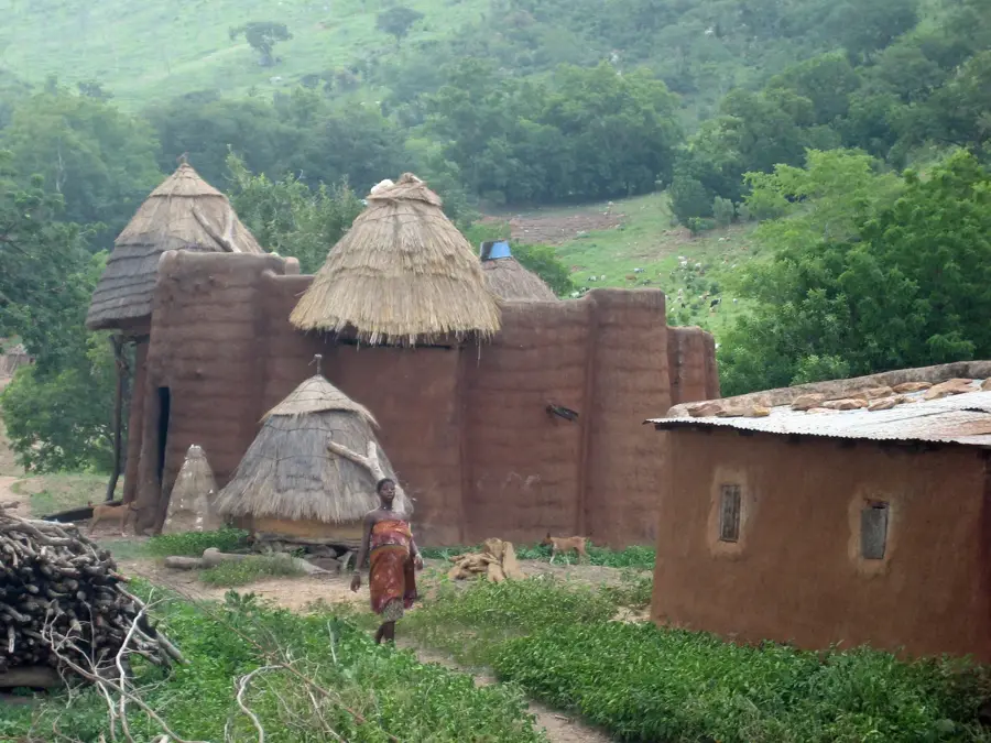
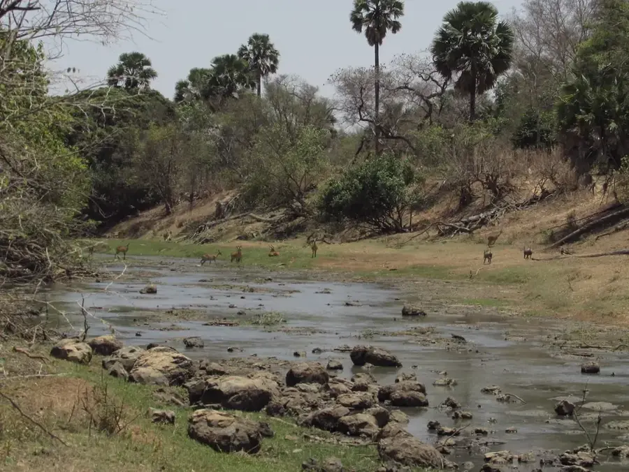
The Kara River is the central waterway of the Kara Region in northern Togo and a primary tributary of the Oti River. Originating in northwestern Benin, it flows westward through northern Togo, passing directly through the city of Kara before joining the Oti. The river is a critical resource for the regional economy, providing water for domestic use, industrial processes in Kara city, and large-scale agricultural irrigation. Its flow is characterized by extreme seasonality, common in the Sudanian climate zone, with high discharge during the monsoon months and significantly reduced levels during the dry Harmattan season. The fertile alluvial soils of the Kara valley support the production of staple crops like yams, maize, and sorghum, which are vital for food security. Along its course, gallery forests provide essential ecological corridors for various bird species and small mammals. Bridges crossing the Kara River are strategic nodes on the main north-south highway that connects Lomé to Burkina Faso.
- Location: Togo
- Nearby: Sirka (13 km)
Best time to visit & climate
The most pleasant time to visit is Jan, Nov, Dec.
| Jan | Feb | Mar | Apr | May | Jun | Jul | Aug | Sep | Oct | Nov | Dec | |
|---|---|---|---|---|---|---|---|---|---|---|---|---|
| Avg °C | 25 | 28 | 29 | 28 | 27 | 26 | 25 | 24 | 25 | 25 | 26 | 25 |
| Rain mm | 4 | 11 | 38 | 89 | 125 | 147 | 197 | 208 | 207 | 118 | 11 | 2 |
📋 Practical info
Geography
Facts
- The Kara River originates in Benin and flows for over 150 kilometers.
- It is a major left-bank tributary of the Oti River system.
- The river provides the primary water supply for the city of Kara.
- Flow rates can peak at over 200 cubic meters per second in the rainy season.
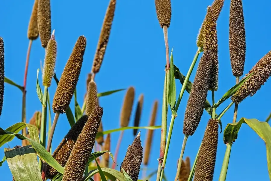
- The river valley is a key producer of yams, a staple food in Togo.
- Strategic bridges over the river facilitate international trade with Burkina Faso.
Explore nearby
Notable places around
Route planner — Car & Motorhome
Where do you start? We build the route here, with stops and country notes along the way.
© OpenStreetMap contributors · OpenRouteService
Sights nearby
Frequently asked questions
Can you navigate the Kara River?
Is the Kara River a good fishing spot?
When is the water level at its highest?
Are there riverside paths for walks?
Is the water clean?
Kara River: where is it located?
Kara River: when is the best time to visit?
Kara River: why is it worth visiting?

Nearby cities


History & landmarks
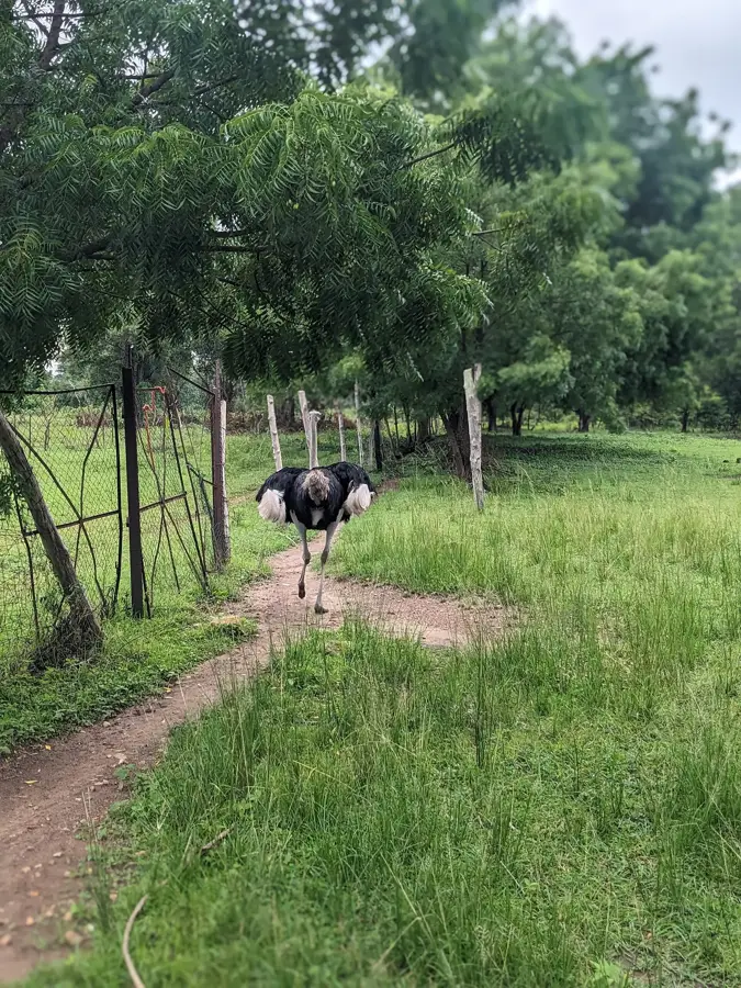
Nature
More places