Plizio Visual Lab
Niamtougou
ℹ️Practical info — Niamtougou
▾
🌤 Weather — 5 days
📍 Nearby
Sights nearby
💡 Tips
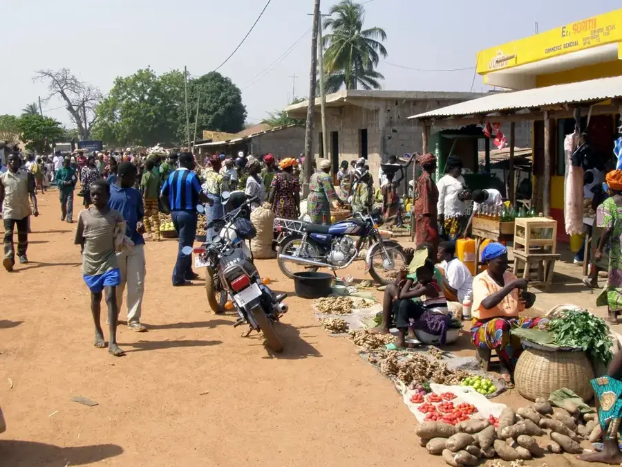
- Don't miss the Sunday market; it's one of the largest and most authentic in northern Togo.
- Use Niamtougou as a base to visit the UNESCO-listed Koutammakou mud tower-houses nearby.
- The local airport primarily serves official flights but marks the town as a regional hub.
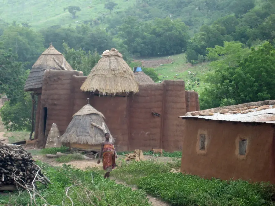
- Check out the Grand Mosque, a beautiful example of local Islamic architecture.
🍽 Food
A specialty from the Kara River, often used to flavor local stews.
Niamtougou is in the heart of the yam-growing region; try it with peanut sauce.
A refreshing traditional beverage often shared at social gatherings.
🛍 Shopping · 🧘 Quiet spots
Famous for pottery, hand-woven baskets, and a wide variety of local grains.
Look for traditional clay pots, which are a specialty of local artisans.
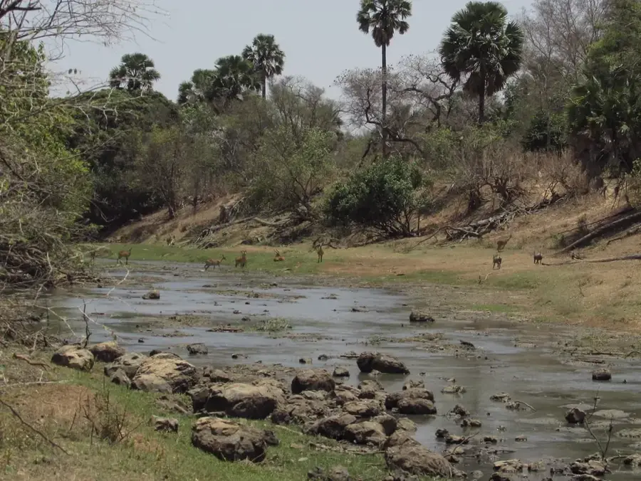
A serene riverside area excellent for a quiet picnic away from the market buzz.
Located about 20km away, it provides a natural pool and a peaceful forest setting.
Water temperature…
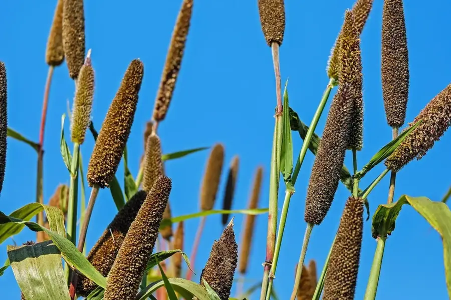
Niamtougou lies about 30 kilometres north of Kara in the Kara Region and is the capital of Doufelgou Prefecture. The town hosts Togo's second international airport, used mainly during crises or major state occasions and serving as an emergency alternate for Lomé. Niamtougou is the cultural heartland of the Lamba people, a sub-group of the Kabyè renowned for their distinctive initiation rituals and rich mythology. The celebrated Sunday market draws traders from across northern Togo, neighbouring Benin and Burkina Faso, and is especially known for its selection of traditional cloths, ironware and medicinal herbs. The town is also an important educational centre, home to several secondary schools and a technical vocational college. The surrounding countryside features rolling hill ranges and terraced fields where millet, sorghum and groundnuts are cultivated using time-honoured techniques.
- Location: Togo
- Nearby: Yadé (16 km)
- Population: ~23.261 (2014)
Best time to visit & climate
The most pleasant time to visit is Jan, Nov, Dec.
| Jan | Feb | Mar | Apr | May | Jun | Jul | Aug | Sep | Oct | Nov | Dec | |
|---|---|---|---|---|---|---|---|---|---|---|---|---|
| Avg °C | 24 | 27 | 30 | 29 | 28 | 26 | 25 | 25 | 25 | 26 | 25 | 24 |
| Rain mm | 2 | 7 | 25 | 83 | 142 | 173 | 236 | 274 | 219 | 107 | 9 | 1 |
Geography
Facts
- Niamtougou is home to Togo's second-largest international airport.
- The town serves as the administrative capital of the Doufelgou Prefecture.
- The local market operates on a six-day cycle and is regionally significant.
- Niamtougou is located approximately 450 kilometers north of Lomé.
- The population mainly comprises the Lamba and Losso ethnic groups.
- The town is situated on the N1 highway, the country's main transport artery.
Explore nearby
Notable places around
Route planner — Car & Motorhome
Where do you start? We build the route here, with stops and country notes along the way.
© OpenStreetMap contributors · OpenRouteService
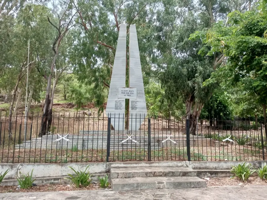
Sights in the town Niamtougou (1)
Frequently asked questions
Where is Niamtougou located?
Are there sights for travelers?
Is the place suitable for tourists?
How is the infrastructure?
What is the best season to visit?
Niamtougou: where is it located?
Niamtougou: when is the best time to visit?
Niamtougou: why is it worth visiting?

Nearby cities


History & landmarks
Nature

More places