Plizio Visual Lab
Mount Ibéti

Weather…
Water temperature…
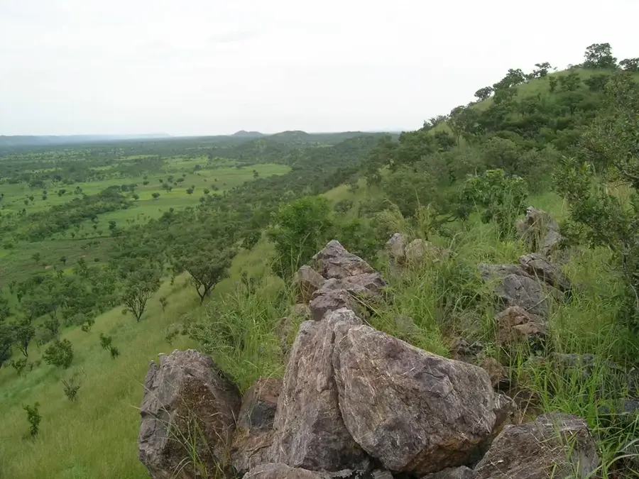
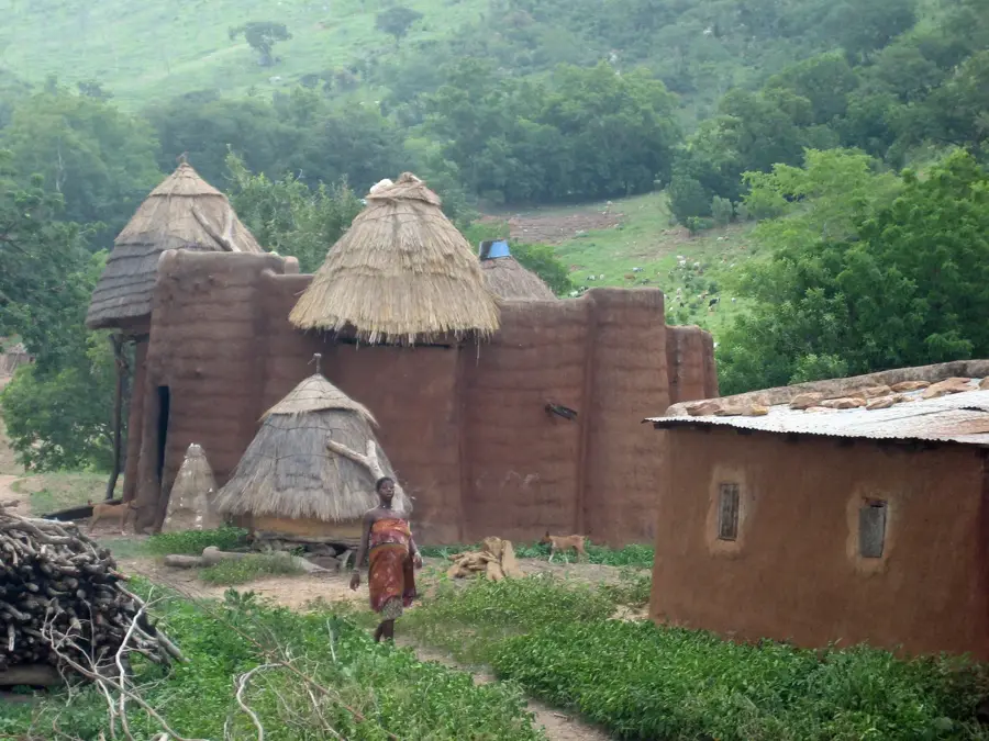
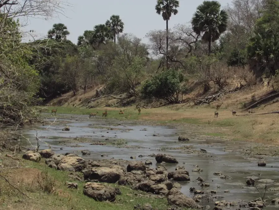
Mount Ibéti is a prominent peak located within the Atakora mountain range in northern Benin, close to the border with Togo. It is part of a larger mountain chain that extends from Ghana through Togo into Benin and Burkina Faso, characterized by its rugged quartzite and sandstone formations. Geologically, the mountain is situated within the Dahomeyide orogen, an ancient belt of crustal deformation. The landscape surrounding Mount Ibéti features a varied topography with steep slopes and deep valleys that serve as a crucial watershed for the surrounding plains. The vegetation primarily consists of Sudanian savanna and gallery forests along riverbeds, providing refuge for local wildlife. While not the absolute highest point in Benin, a distinction usually held by Mount Sokbaro, Ibéti is ecologically significant and holds great potential for ecotourism and hiking. The region experiences a tropical savanna climate, with a lush green transformation during the rainy season from May to October.
- Location: Togo
- Top sights: Baouda · Sondina · Bia, Togo
- Nearby: Pya (20 km)
Best time to visit & climate
The most pleasant time to visit is Jan, Nov, Dec.
| Jan | Feb | Mar | Apr | May | Jun | Jul | Aug | Sep | Oct | Nov | Dec | |
|---|---|---|---|---|---|---|---|---|---|---|---|---|
| Avg °C | 25 | 28 | 29 | 28 | 27 | 26 | 25 | 24 | 25 | 25 | 26 | 25 |
| Rain mm | 4 | 11 | 38 | 89 | 125 | 147 | 197 | 208 | 207 | 118 | 11 | 2 |
📋 Practical info
Geography
Facts
- Mount Ibéti is part of the Atakora range in northern Benin.
- The mountain's geology is dominated by ancient quartzite rock.
- Its elevation is roughly between 600 and 650 meters above sea level.
- The slopes are a key source of tributaries for the Oti River.
- The surrounding area is characterized by Sudanian savanna vegetation.
- It is located near the trans-border region of Benin and Togo.
Explore nearby
Notable places around
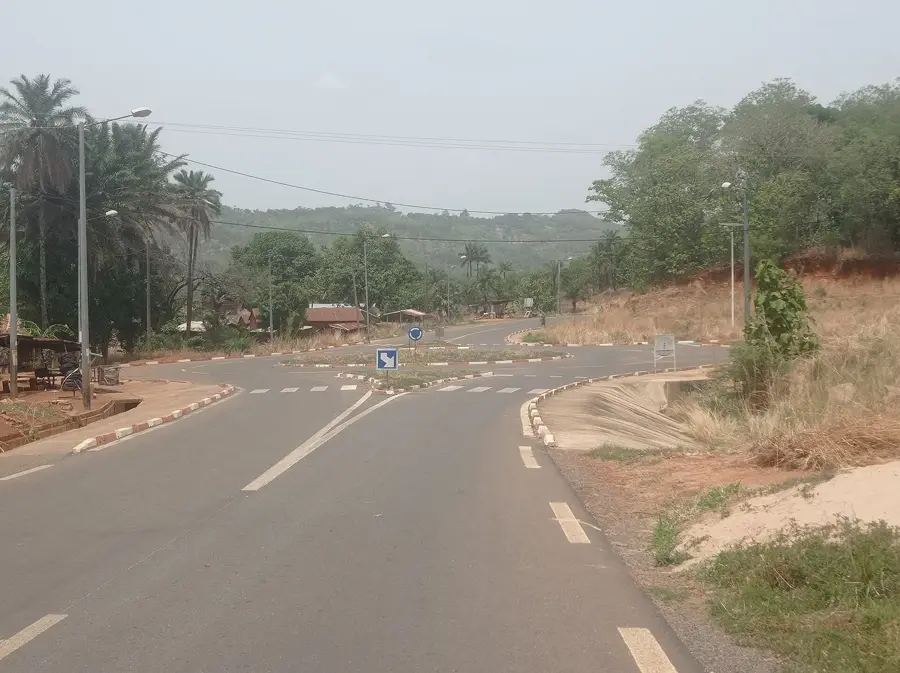
Route planner — Car & Motorhome
Where do you start? We build the route here, with stops and country notes along the way.
© OpenStreetMap contributors · OpenRouteService
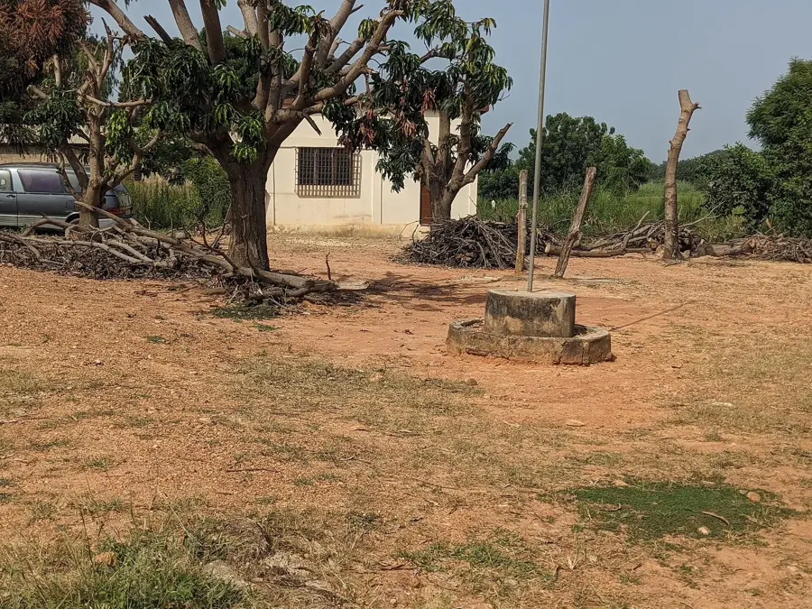
Sights in the town Mount Ibéti (3)
Sights nearby
Frequently asked questions
How difficult is climbing Mount Ibéti?
What is the best time to visit Mount Ibéti?
Is there parking at the trailhead?
Are there restrooms or restaurants on the mountain?
What is the weather risk?
Mount Ibéti: where is it located?
Mount Ibéti: what is there to see?
Mount Ibéti: when is the best time to visit?
Mount Ibéti: why is it worth visiting?

Nearby cities

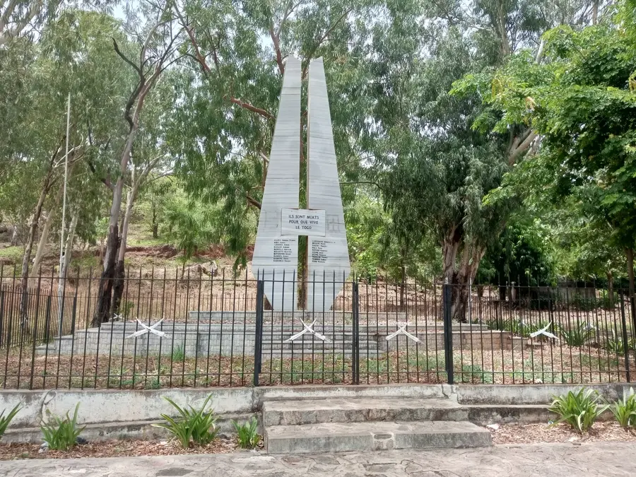


History & landmarks

Nature

More places