Plizio Visual Lab
Kuramin Range
Weather…
Water temperature…
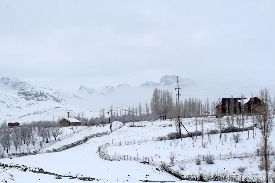
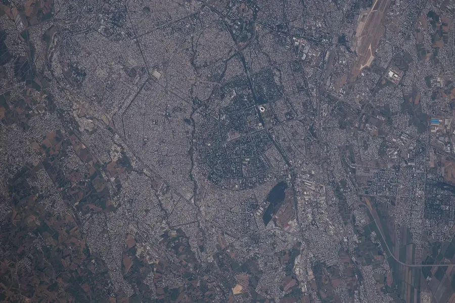
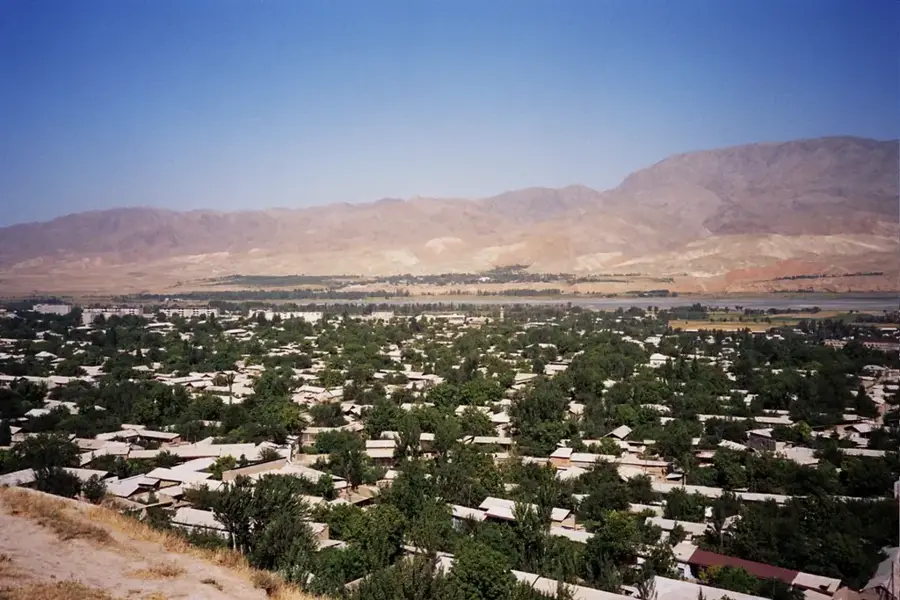
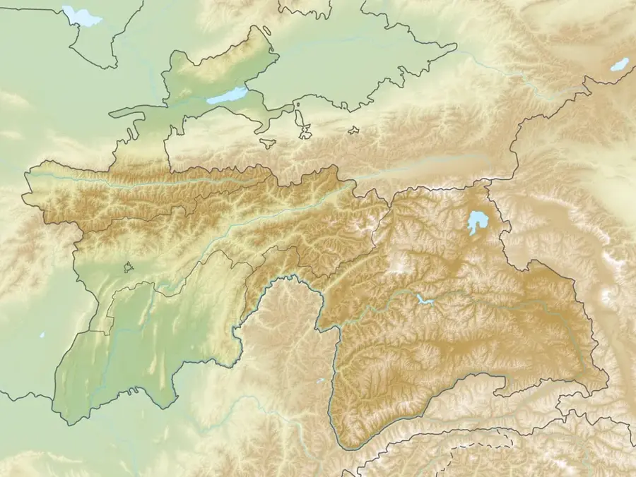
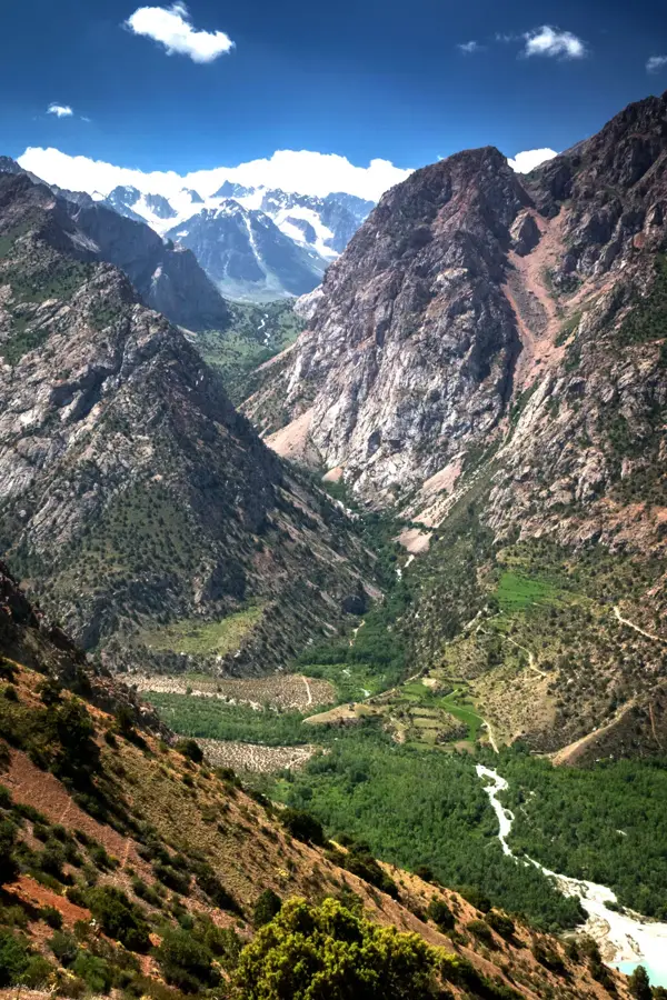
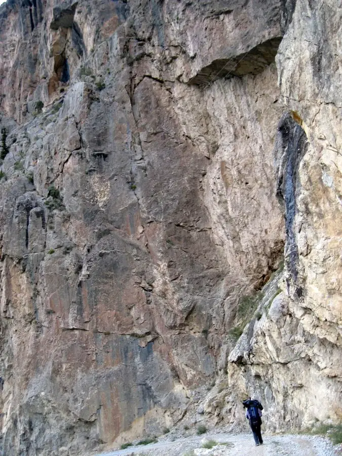
The Kuramin Range is a western spur of the Tien Shan mountain system, stretching approximately 170 kilometers along the border between Tajikistan and Uzbekistan. It separates the Fergana Valley to the southeast from the Angren Plateau to the northwest, reaching its highest elevation at Mount Boboiob, standing at 3,769 meters. Compared to ranges further south, the relief is less rugged, yet it still features significant vertical drops. Geologically, the region is highly interesting due to its rich mineral resources, particularly deposits of copper, lead, and gold, which have been mined for decades. The climate is drier than in the central parts of the Tien Shan, leading to vegetation characterized by mountain steppes and sparse juniper forests. Historically, the Kuramin Range was a center for mining and metallurgy, dating back to ancient times. Today, the slopes of the range are important grazing lands for the local population. Its geographical location makes it a significant climatic factor for northern Tajikistan.
- Location: Tajikistan
- Nearby: Buston (37 km)
Best time to visit & climate
The most pleasant time to visit is Jun–Aug.
| Jan | Feb | Mar | Apr | May | Jun | Jul | Aug | Sep | Oct | Nov | Dec | |
|---|---|---|---|---|---|---|---|---|---|---|---|---|
| Avg °C | -2 | -1 | 5 | 11 | 16 | 22 | 24 | 23 | 18 | 11 | 4 | -1 |
| Rain mm | 35 | 48 | 50 | 47 | 29 | 13 | 4 | 4 | 5 | 22 | 43 | 45 |
📋 Practical info
Geography
Facts
- The highest peak is Boboiob at 3,769 meters
- Extends over a length of approximately 170 kilometers
- Forms the border between Sughd province and Uzbekistan
- Rich in mineral ores such as copper, gold, and fluoride
- The famous mining city of Almalyk is located on its slopes
- Vegetation consists mainly of mountain steppes and juniper
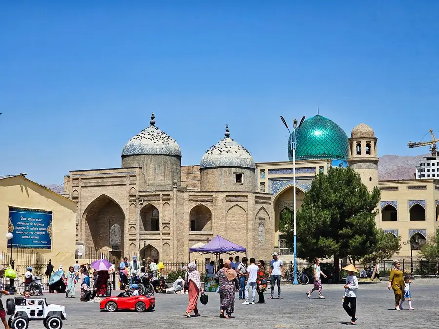
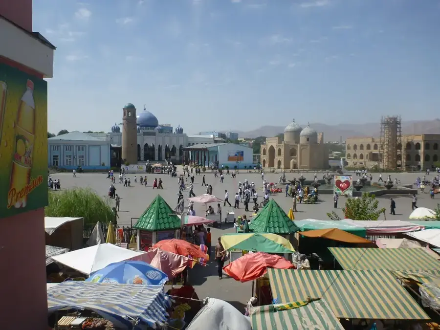
Explore nearby
Notable places around
Route planner — Car & Motorhome
Where do you start? We build the route here, with stops and country notes along the way.
© OpenStreetMap contributors · OpenRouteService
Sights nearby
Frequently asked questions
What does the Kurama range offer?
Is it family-friendly?
Which season is most beautiful?
Are there many villages there?
What should one take on a hike?
Kuramin Range: where is it located?
Kuramin Range: when is the best time to visit?
Kuramin Range: why is it worth visiting?

Nearby cities


History & landmarks
Nature
More places