Plizio Visual Lab
Slavnik
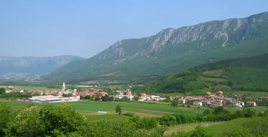
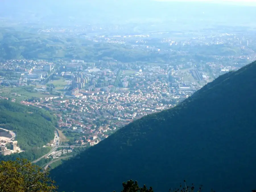
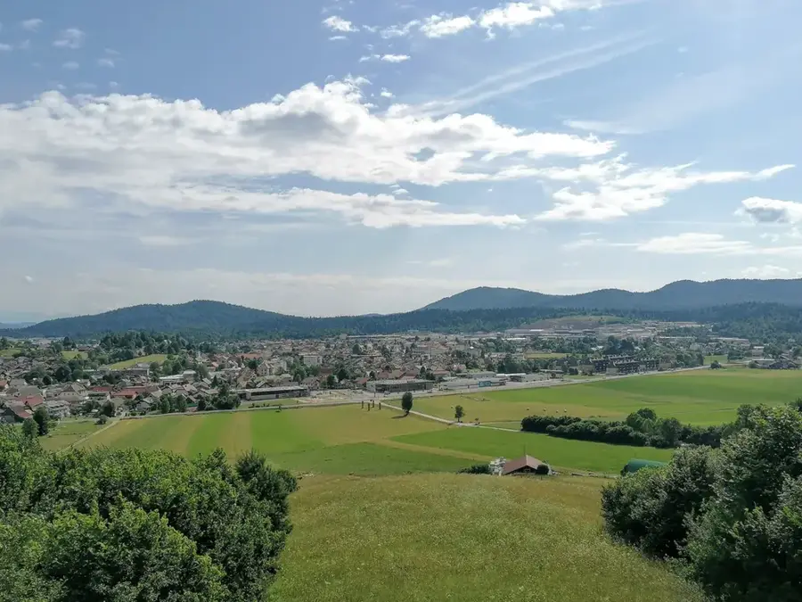
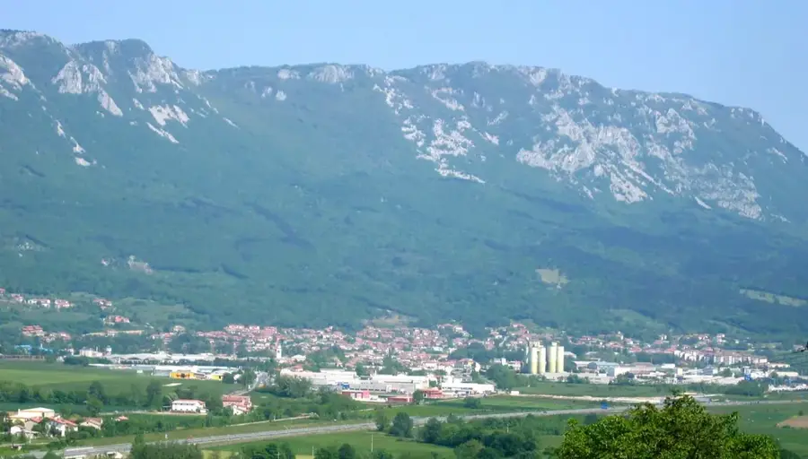
Slavnik stands at 1028 meters, making it one of the highest peaks in Slovenian Istria and a favorite hiking destination in the country's southwest. It marks the edge of the Čičarija range and, due to its isolated position, has one of the most extensive views in Slovenia: spanning from the Gulf of Trieste across the Istrian peninsula to the peaks of the Julian Alps and Karawanks. The summit is largely treeless, characterized by vast mountain meadows known for their immense botanical diversity, including rare orchid species and peonies. The Tumova Lodge at the top serves as a key base for hikers and cyclists. Paths to the summit mostly lead through shady beech forests, making the ascent pleasant even during summer. Geologically, Slavnik is part of the karst region, as evidenced by the lack of surface water and its characteristic rock structures.
- Location: Slovenia
- Top sights: Gozdni rezervat Plešivski gozd · Slavnik
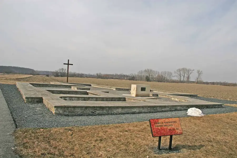
- Nearby: Hrastovlje (12 km)
Best time to visit & climate
The most pleasant time to visit is Jun–Aug.
| Jan | Feb | Mar | Apr | May | Jun | Jul | Aug | Sep | Oct | Nov | Dec | |
|---|---|---|---|---|---|---|---|---|---|---|---|---|
| Avg °C | 4 | 4 | 8 | 12 | 16 | 21 | 23 | 23 | 18 | 14 | 9 | 5 |
| Rain mm | 68 | 83 | 72 | 69 | 89 | 74 | 60 | 79 | 113 | 102 | 123 | 96 |
📋 Practical info
Geography
Facts
- The elevation of Slavnik is precisely 1028 meters above sea level.
- The Tumova Lodge was built in honor of mountaineer Dr. Clement Tum.
- On very clear days, the outlines of Venice can be seen from the summit.
- The mountain is located within the Primorska (Littoral) region.
- Slavnik is a significant botanical site for rare alpine flora.
- The annual 'MTB Slavnik' mountain bike marathon is a major regional event.
Explore nearby
Notable places around
Route planner — Car & Motorhome
Where do you start? We build the route here, with stops and country notes along the way.
© OpenStreetMap contributors · OpenRouteService
Sights in the town Slavnik (2)
Sights nearby
Frequently asked questions
How high is Slavnik?
Is there accommodation available there?
Is the climb possible in winter?
Can you see the sea from the top?
Which path is the shortest?
Slavnik: where is it located?
Slavnik: what is there to see?
Slavnik: when is the best time to visit?
Slavnik: why is it worth visiting?

Nearby cities

History & landmarks