Plizio Visual Lab
Ćićarija
Weather…
Water temperature…
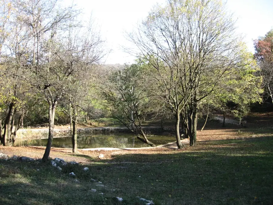
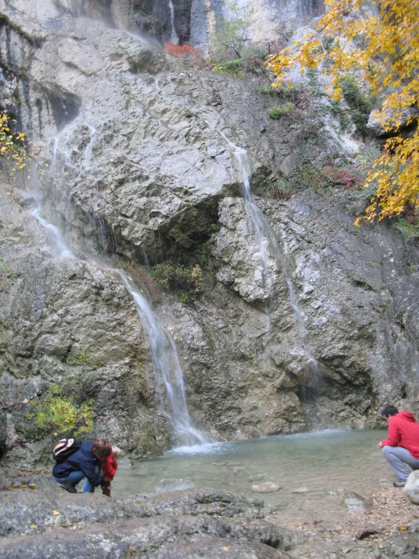
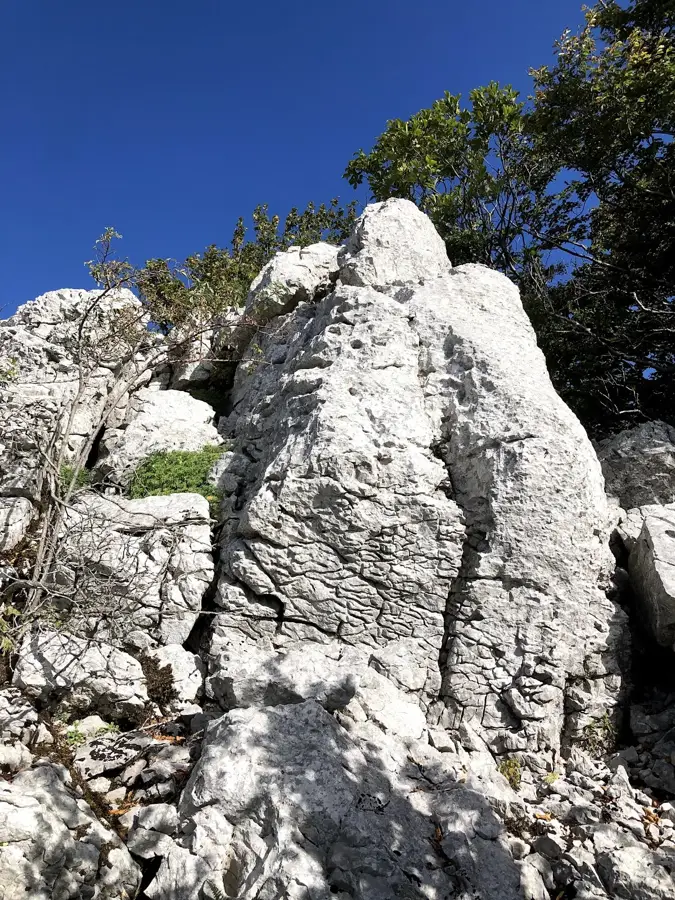
Ćićarija is a prominent limestone mountain range in the northeastern part of the Istrian peninsula, stretching along the border between Croatia and Slovenia. Its highest peak is Planik, reaching 1272 meters, providing panoramic views that encompass both the Adriatic Sea and the distant Alps. As part of the Dinaric Alps, the range is characterized by its rugged karst landscape, featuring deep sinkholes and stark white limestone cliffs. The elevation ensures a mountain climate that is significantly cooler than the coastal areas of Istria, fostering a unique ecosystem of alpine plants and beech forests. Historically, the region is famous for traditional sheep herding and cheese production, with the local inhabitants, known as the "Ćići," preserving a distinct cultural and linguistic heritage. Today, Ćićarija is a haven for hikers, mountain bikers, and climbers seeking solitude and untouched nature away from the busy tourist resorts. It serves as an important ecological corridor connecting the peninsula with the continental hinterland.
- Location: Croatia
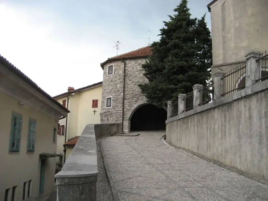
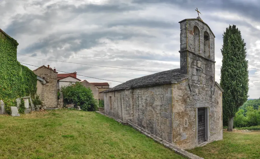
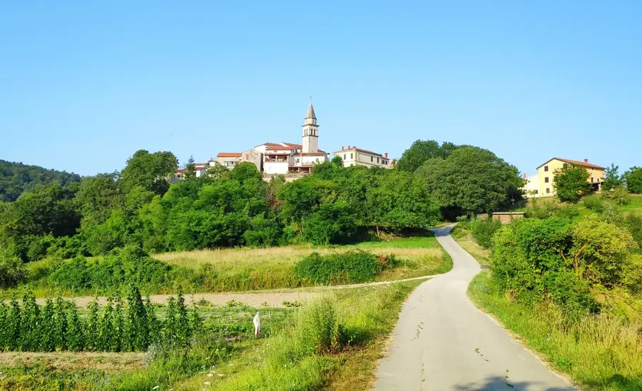
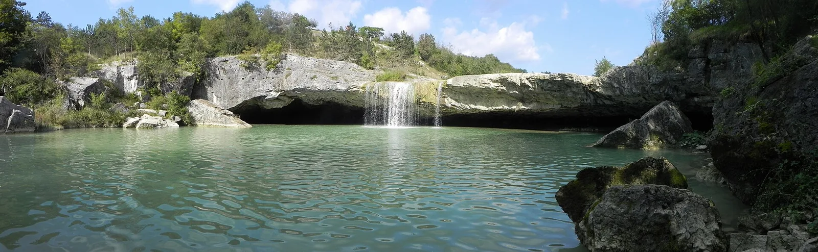
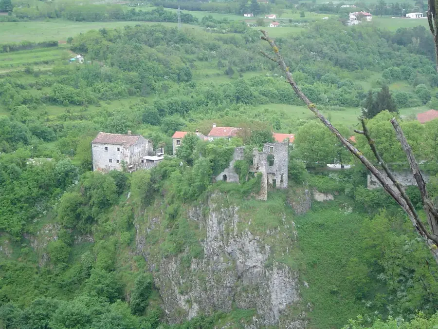
- Top sights: Gradina Rašpor · Žbevnica
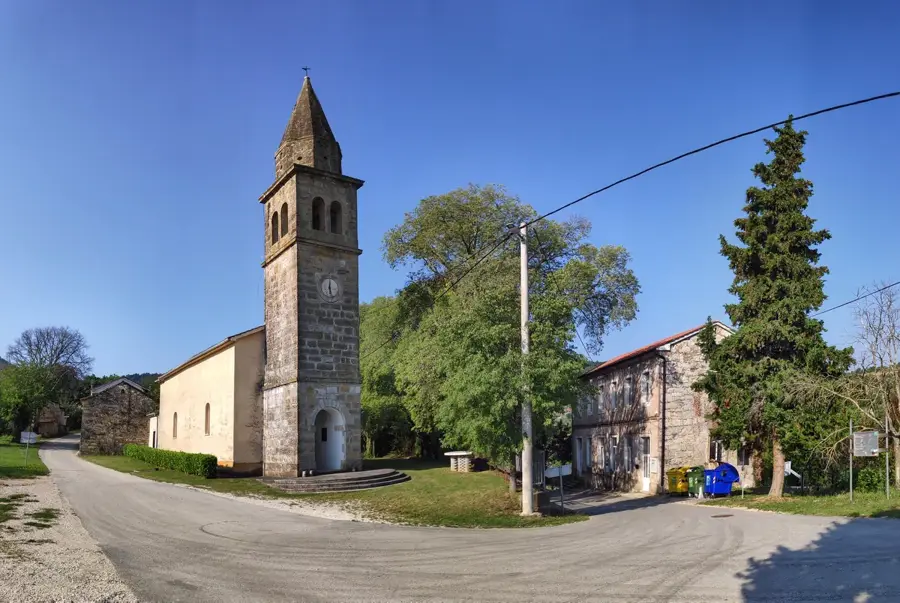
- Nearby: Roč (6 km)
Best time to visit & climate
The most pleasant time to visit is Jun–Aug.
| Jan | Feb | Mar | Apr | May | Jun | Jul | Aug | Sep | Oct | Nov | Dec | |
|---|---|---|---|---|---|---|---|---|---|---|---|---|
| Avg °C | 4 | 4 | 8 | 12 | 16 | 21 | 23 | 23 | 18 | 14 | 9 | 5 |
| Rain mm | 68 | 83 | 72 | 69 | 89 | 74 | 60 | 79 | 113 | 102 | 123 | 96 |
📋 Practical info
Geography
Facts
- The highest summit is Planik, reaching 1272 meters.
- Forms the natural geographical border with Slovenia.
- Composed primarily of bright Mesozoic limestone formations.
- Inhabited by the 'Ćići' people, speakers of the Istro-Romanian dialect.
- Famous for the traditional production of mountain sheep cheese.
- Home to more than 1000 registered sinkholes and karst pits.
Explore nearby
Notable places around
Route planner — Car & Motorhome
Where do you start? We build the route here, with stops and country notes along the way.
© OpenStreetMap contributors · OpenRouteService
Sights in the town Ćićarija (2)
Sights nearby
Frequently asked questions
Where is Ćićarija located?
What is the landscape like?
How high is the highest peak?
Are there settlements there?
What is typical for the culture?
Ćićarija: where is it located?
Ćićarija: what is there to see?
Ćićarija: when is the best time to visit?
Ćićarija: why is it worth visiting?

Nearby cities