Plizio Visual Lab
Sitno
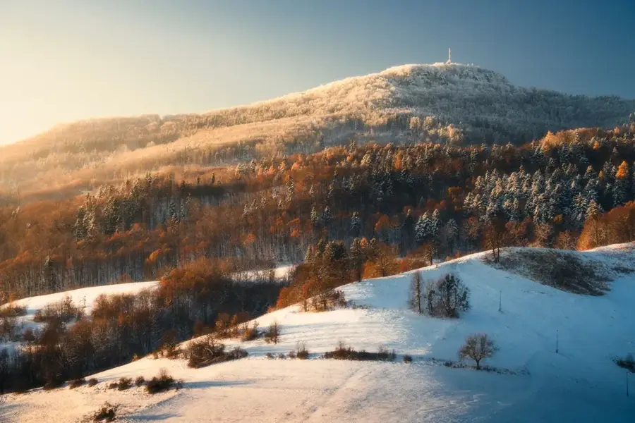
Standing at 1,009 meters, Mount Sitno is the highest peak of the Štiavnica Mountains and is widely regarded as the cradle of Slovak tourism. Surrounded on three sides by precipitous andesite rock walls, its flat summit plateau was utilized as a significant hillfort as early as the Hallstatt period. The strategic importance of the mountain is evidenced by the ruins of the 13th-century Sitno Castle, which was built to defend the nearby mining towns. In 1860, one of the first hiking clubs in Central Europe was established here, making the mountain a symbolic site for nature enthusiasts. Today, the summit features a historic lookout tower originally built in 1736 and reconstructed in the 19th century, alongside a television and radio transmitter. The area is a protected national nature reserve, hosting a diverse flora, including over 300 species of wild roses that grow naturally on its slopes. The ascent via the "Tatar Stairs" with hundreds of steps is a classic hiking experience, rewarding visitors with sweeping views over the Danube basin and the central Slovak highlands.
- Location: Slovakia
- Top sights: Pod kancľom · Kanceľ · Vysielač Sitno
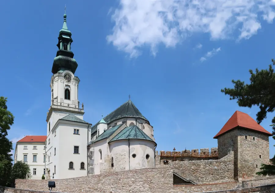
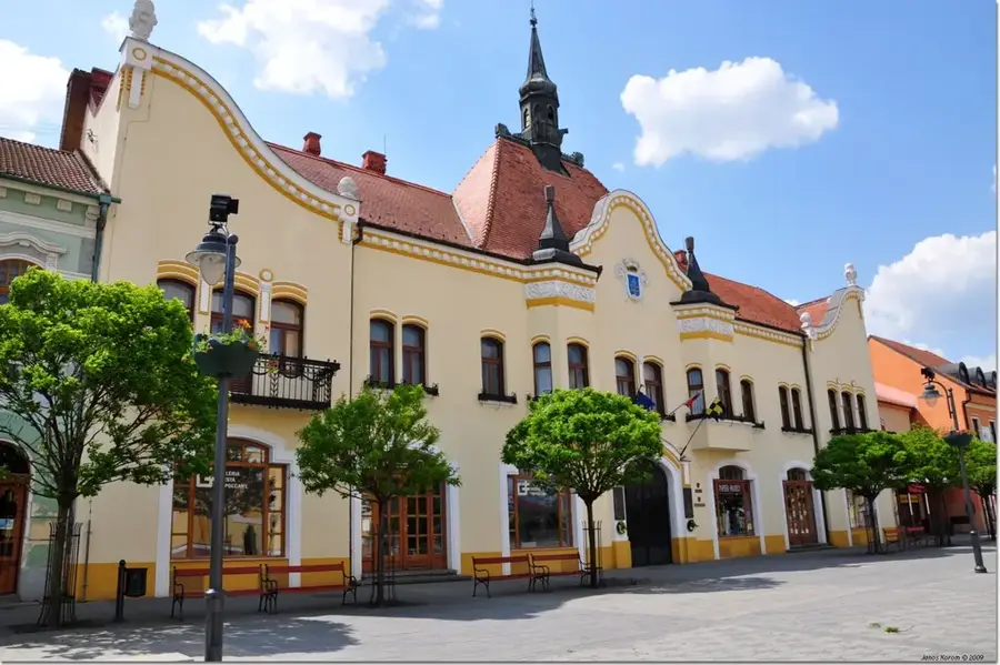
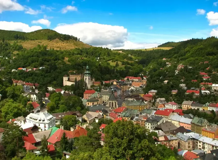
- Nearby: Sklené Teplice (14 km)
Best time to visit & climate
The most pleasant time to visit is Jun–Aug.
| Jan | Feb | Mar | Apr | May | Jun | Jul | Aug | Sep | Oct | Nov | Dec | |
|---|---|---|---|---|---|---|---|---|---|---|---|---|
| Avg °C | -4 | -2 | 3 | 9 | 14 | 18 | 20 | 19 | 14 | 9 | 3 | -2 |
| Rain mm | 52 | 46 | 47 | 40 | 72 | 74 | 78 | 66 | 61 | 56 | 53 | 52 |
📋 Practical info
Geography
Facts
- Elevation: 1,009 m (3,310 ft)
- Lookout tower: built in 1736
- Botany: over 300 species of roses
- Archaeology: Hallstatt period hillfort
- Tourism: First hiking club founded in 1860
- History: Sitno Castle ruins (13th century)
Explore nearby
Notable places around
Route planner — Car & Motorhome
Where do you start? We build the route here, with stops and country notes along the way.
© OpenStreetMap contributors · OpenRouteService
Sights in the town Sitno (10)
Západné skaly
Viewpoint on the western rocks of Sitno, with distant views.
Zákop z 2. svetovej vojny
World War II trench on Mount Sitno.
Jubilejný háj RČS 1918-1928, Tatárska lúka pod Sitnom
Commemorative grove from 1918-1928 on Tatárska lúka meadow below Sitno.
Pohrebisko
Archaeological site, burial ground on Mount Sitno.
Petrov vrch
Mountain peak in Slovakia, in the Štiavnica Mountains.
Obranný val, Hradisko Sitno
Archaeological site, rampart of a hillfort on Sitno.
Sights nearby
Frequently asked questions
Why is Sitno considered the cradle of tourism?
Is there a castle ruin on the summit?
How do you reach the summit?
What view does Sitno offer?
Is there a hut on the mountain?
Sitno: where is it located?
Sitno: what is there to see?
Sitno: when is the best time to visit?
Sitno: why is it worth visiting?

Nearby cities