Plizio Visual Lab
Štiavnica Mountains
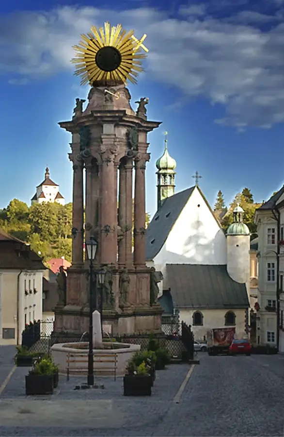
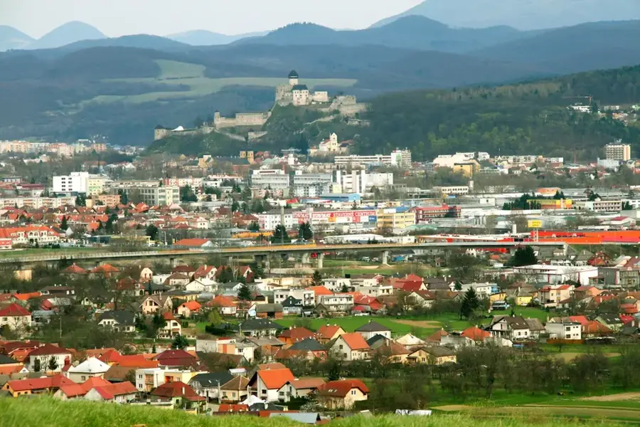
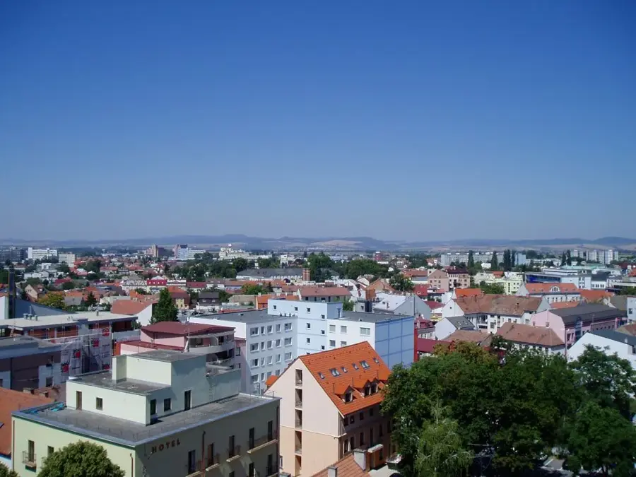
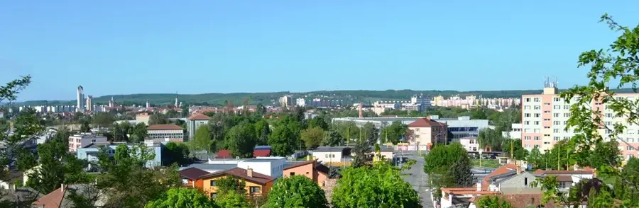
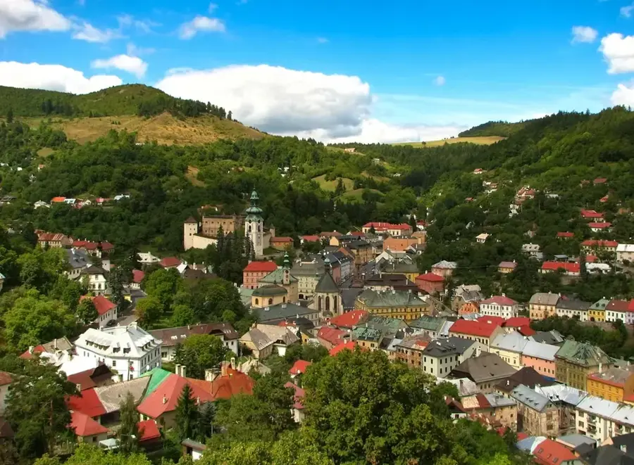
The Štiavnica Mountains (Štiavnické vrchy) in southern central Slovakia constitute the largest volcanic massif in the Western Carpathians and a site of extraordinary historical and natural significance. Formed approximately 15 million years ago by the activity of a giant stratovolcano whose diameter once reached 50 kilometers, the landscape is defined by its dramatic geological past. The region is world-renowned for its silver and gold mining, which turned Banská Štiavnica into one of the wealthiest medieval centers, leading to its designation as a UNESCO World Heritage site in 1993. A technical marvel of the area is the "Tajchy," a complex system of artificial water reservoirs built in the 18th century to power mining machinery, now serving as scenic lakes for recreation. Spanning around 1,000 square kilometers, the mountains offer a diverse environment of dense deciduous forests, rolling hills, and prominent volcanic cones like Mount Sitno. The blend of industrial history, technical innovation, and pristine nature makes this region a unique cultural landscape in Europe, accessible through numerous educational trails leading both into deep mine shafts and up to scenic summits.
- Location: Slovakia
- Top sights: Na Trojičnom vrchu · Kornberg · Svätotrojičná dedičná štôlňa
- Nearby: Sklené Teplice (9 km)
Best time to visit & climate
The most pleasant time to visit is Jun–Aug.
| Jan | Feb | Mar | Apr | May | Jun | Jul | Aug | Sep | Oct | Nov | Dec | |
|---|---|---|---|---|---|---|---|---|---|---|---|---|
| Avg °C | -4 | -2 | 3 | 9 | 14 | 18 | 20 | 19 | 14 | 9 | 3 | -2 |
| Rain mm | 52 | 46 | 47 | 40 | 72 | 74 | 78 | 66 | 61 | 56 | 53 | 52 |
📋 Practical info
Geography
Facts
- UNESCO status: since 1993
- Volcanic origin: approx. 15 million years ago
- Total area: approx. 1,000 km² (386 sq mi)
- Water management: Tajchy system (24 remain)
- Highest peak: Sitno (1,009 m)
- Mining history: center for gold and silver extraction
Explore nearby
Notable places around
Route planner — Car & Motorhome
Where do you start? We build the route here, with stops and country notes along the way.
© OpenStreetMap contributors · OpenRouteService
Sights in the town Štiavnica Mountains (10)
Ján štôlňa
Historic adit in the Banská Štiavnica mining district.
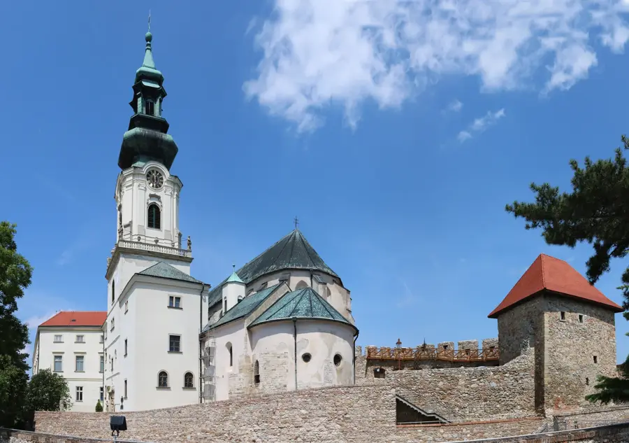
New castle🏛 museum
Castle in Banská Štiavnica, Slovakia, housing a museum.
Marián Lichner
Monument to the mayor of Banská Štiavnica.
Jozef Kollár
Monument to academic painter and national artist Jozef Kollár.
Karol Zachar
Monument to the maker of the most famous clay pipe workshop.
Z Katovej
Viewpoint in the Štiavnica Mountains, view of the surroundings.
Sights nearby
Frequently asked questions
What are the 'tajchy' in the Štiavnica Mountains?
Are the mountains part of UNESCO World Heritage?
What is the highest mountain in this region?
Are there thermal springs nearby?
Can you go mountain biking here?
Štiavnica Mountains: where is it located?
Štiavnica Mountains: what is there to see?
Štiavnica Mountains: when is the best time to visit?
Štiavnica Mountains: why is it worth visiting?

Nearby cities