Plizio Visual Lab
Low Tatras
Weather…
Water temperature…
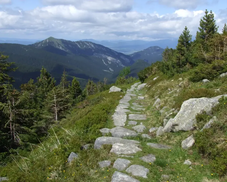
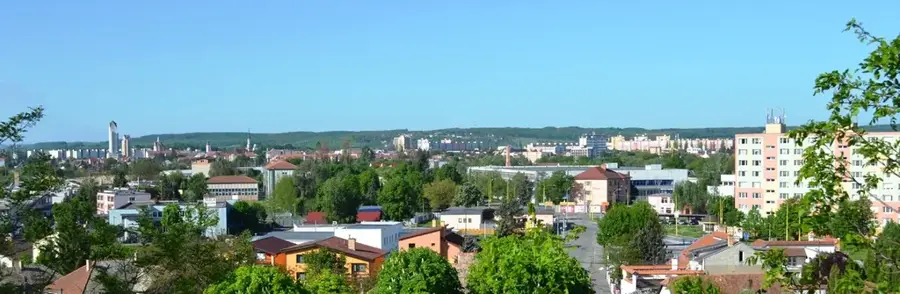
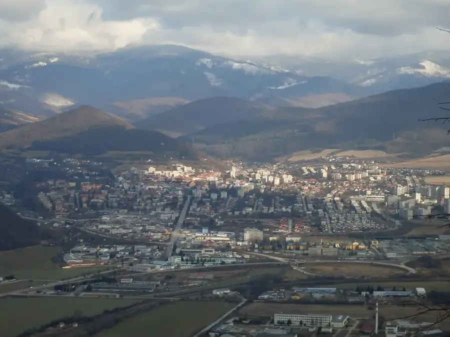
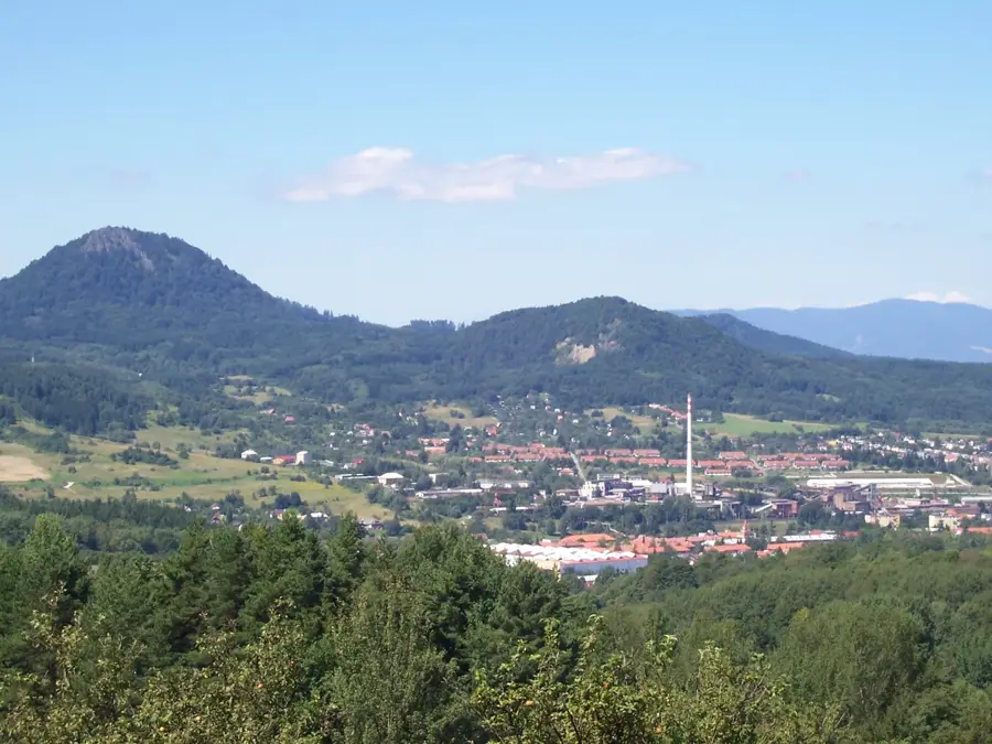
The Low Tatras (Nízke Tatry) stretch across an impressive length of about 80 kilometers, forming the second longest mountain range in Slovakia. This majestic mountain chain is characterized by extensive coniferous and mixed forests, deeply carved valleys, and vast alpine meadows that provide hikers with an unparalleled network of trails. At the heart of the national park stands the Ďumbier peak, which reaches an elevation of 2043 meters, making it the highest point in the region. The mountains are home to a rich and diverse wildlife population, including brown bears, wolves, and Eurasian lynxes. The region is particularly renowned for the Demänová Valley, which conceals the longest and most significant karst cave system in the country. During winter, the slopes of Mount Chopok are transformed into the Jasná ski resort, the largest and most modern winter sports center in Slovakia.
- Location: Slovakia
- Nearby: Jasná (6 km)
Best time to visit & climate
The most pleasant time to visit is Jun–Aug.
| Jan | Feb | Mar | Apr | May | Jun | Jul | Aug | Sep | Oct | Nov | Dec | |
|---|---|---|---|---|---|---|---|---|---|---|---|---|
| Avg °C | -6 | -4 | 0 | 6 | 11 | 15 | 17 | 17 | 12 | 6 | 2 | -4 |
| Rain mm | 63 | 58 | 63 | 58 | 102 | 110 | 120 | 89 | 80 | 70 | 63 | 60 |
📋 Practical info
Geography
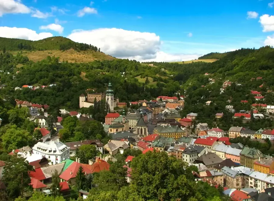
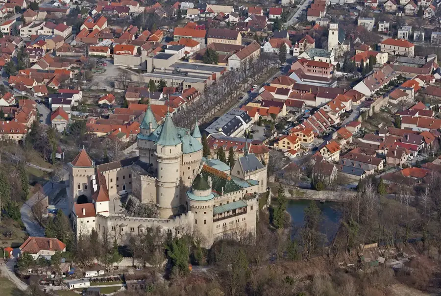
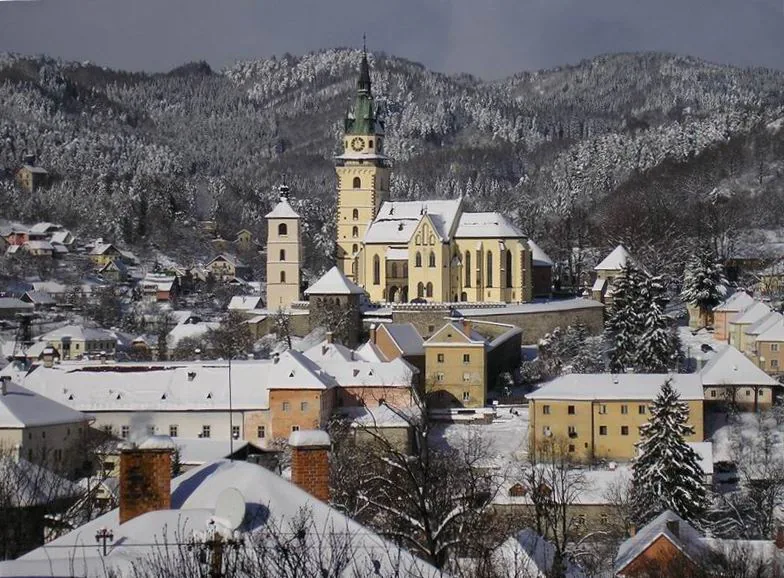
Explore nearby
Notable places around
Route planner — Car & Motorhome
Where do you start? We build the route here, with stops and country notes along the way.
© OpenStreetMap contributors · OpenRouteService
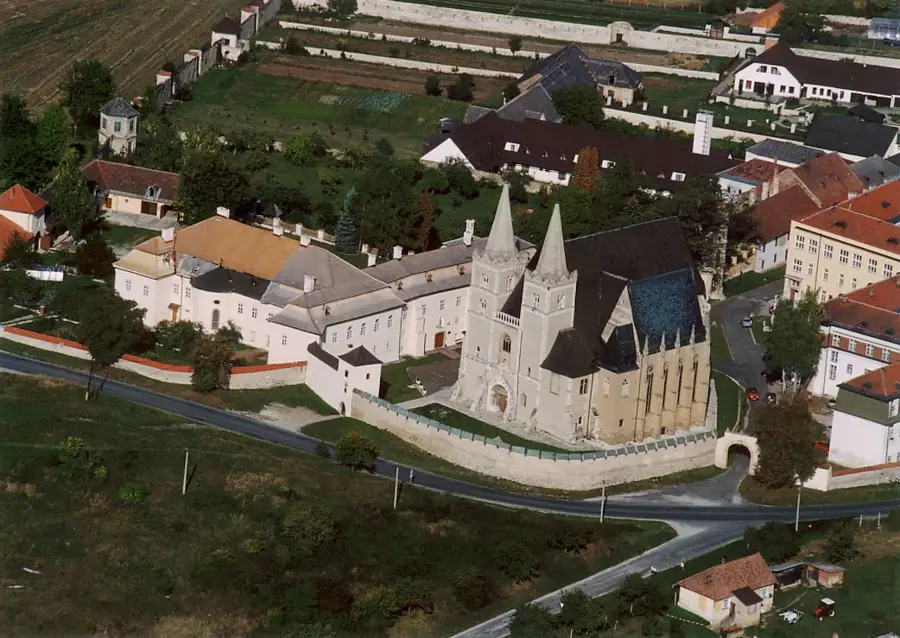
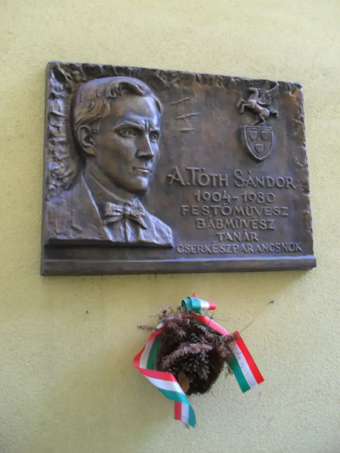
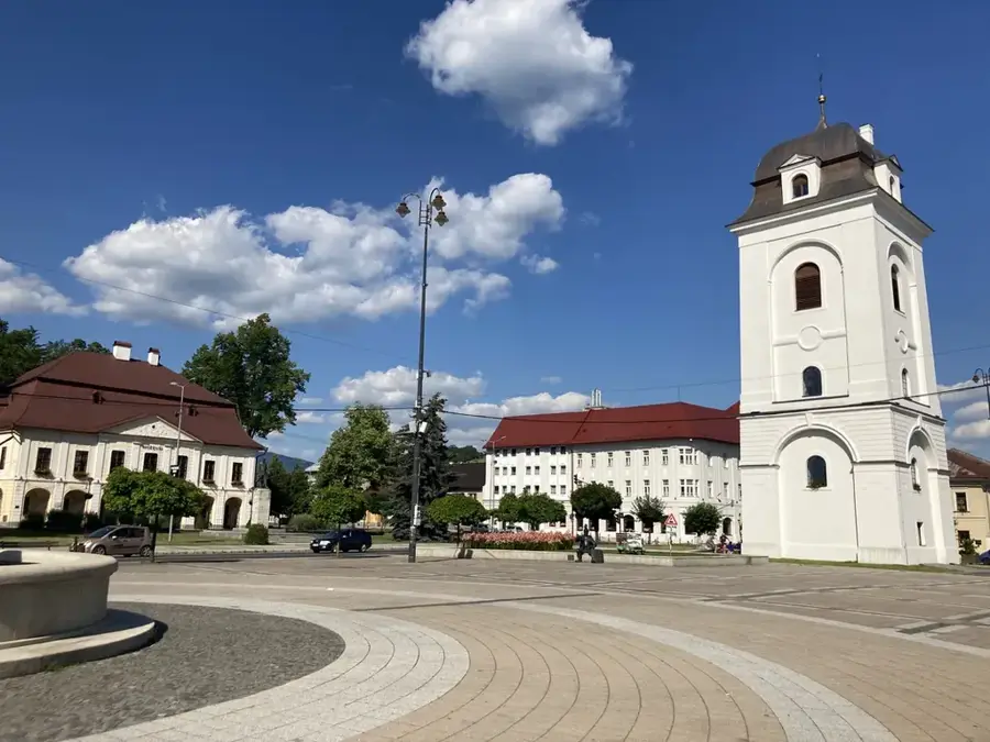
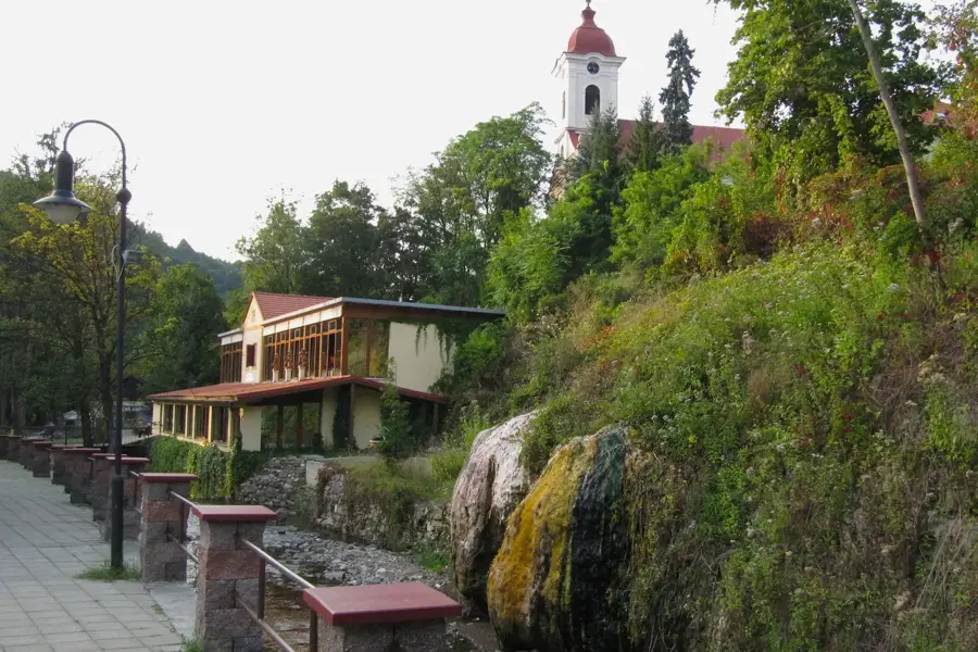
Sights in the town Low Tatras (1)
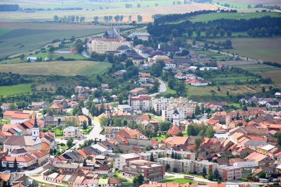
Sights nearby
Frequently asked questions
What is the highest peak in the Low Tatras?
Which hiking route is the most popular?
Are there cable cars?
How is the weather usually in the mountains?
Are there accommodation options on the mountain?
Low Tatras: where is it located?
Low Tatras: when is the best time to visit?
Low Tatras: why is it worth visiting?

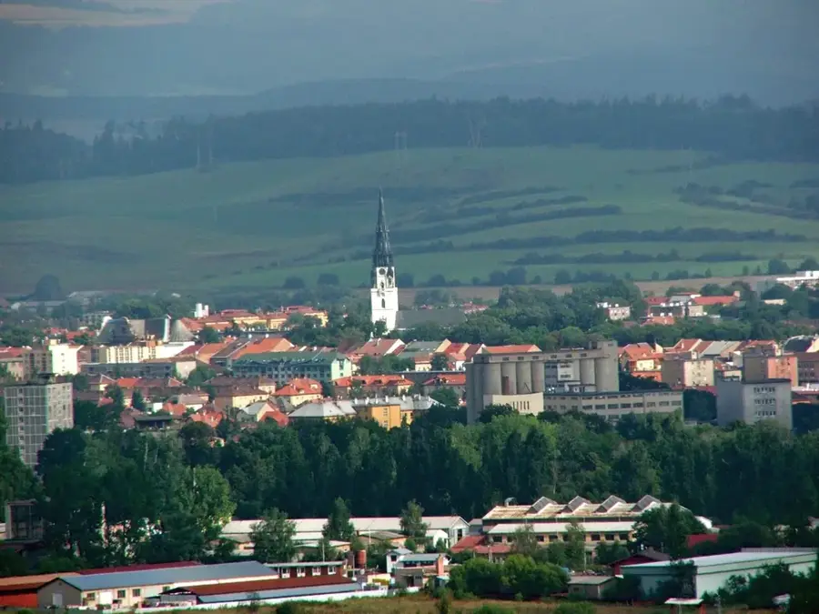
Nearby cities


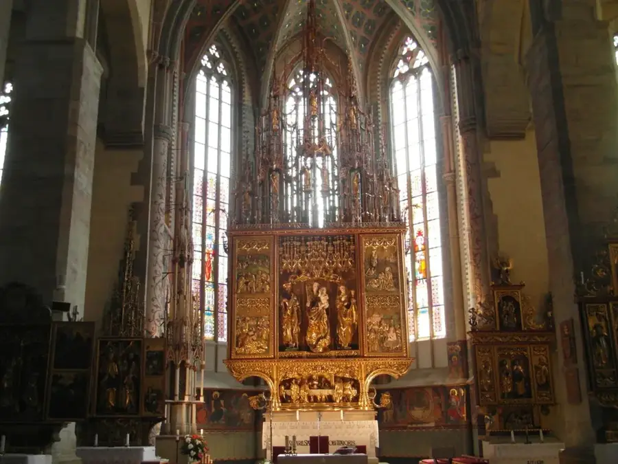
History & landmarks