Plizio Visual Lab
Ďumbier
Weather…
Water temperature…
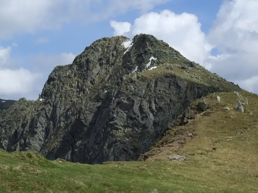
Standing at 2,043 meters, Ďumbier is the highest peak of the Low Tatras and a prominent landmark of central Slovakia. Composed of a massive granite block, the mountain features steep northern cliffs carved by ancient glaciers, while its southern slopes descend more gently toward the mining regions. At the summit stands a large wooden double cross, a symbol of Slovak national identity, alongside a memorial dedicated to the World War II partisans who fought in the area. In clear weather, the peak gives an unparalleled panoramic view stretching from the High Tatras in the north to the Mátra Mountains in Hungary to the south. Located nearby is the General M. R. Štefánik mountain hut, a crucial waypoint for hikers traversing the "Trail of the Heroes of the Slovak National Uprising." The alpine fauna here includes chamois and marmots, which are frequently spotted in the rocky cirques surrounding the summit. Despite its height, the peak is accessible via well-maintained trails from the Chopok cable car station or the Trangoška valley.
- Location: Slovakia
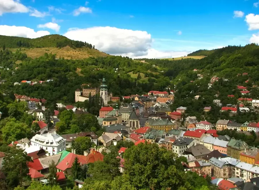
- Top sights: Krúpova hoľa · Ludárova hoľa · Štiavnica
- Nearby: Jasná (6 km)
Best time to visit & climate
The most pleasant time to visit is Jun–Aug.
| Jan | Feb | Mar | Apr | May | Jun | Jul | Aug | Sep | Oct | Nov | Dec | |
|---|---|---|---|---|---|---|---|---|---|---|---|---|
| Avg °C | -6 | -4 | 0 | 6 | 11 | 15 | 17 | 17 | 12 | 6 | 2 | -4 |
| Rain mm | 63 | 58 | 63 | 58 | 102 | 110 | 120 | 89 | 80 | 70 | 63 | 60 |
📋 Practical info
Geography
Facts
- Summit elevation: 2,043 m (6,703 ft)
- Range: Low Tatras (highest peak)
- Rock type: Massive granite
- Structure: Wooden double cross on summit
- Nearby hut: Štefánik mountain hut
- WWII history: Partisan memorial
Explore nearby
Notable places around
Route planner — Car & Motorhome
Where do you start? We build the route here, with stops and country notes along the way.
© OpenStreetMap contributors · OpenRouteService
Sights in the town Ďumbier (3)
Sights nearby
Frequently asked questions
Is Ďumbier the highest mountain in the Low Tatras?
What is the easiest way to reach the summit?
Is there a mountain hut nearby?
Can you see chamois from the summit?
How is the view from Ďumbier?
Ďumbier: where is it located?
Ďumbier: what is there to see?
Ďumbier: when is the best time to visit?
Ďumbier: why is it worth visiting?

Nearby cities


History & landmarks