Plizio Visual Lab
Juhoslovenská kotlina
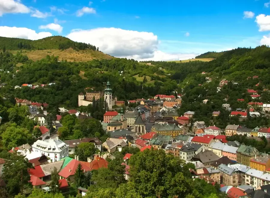
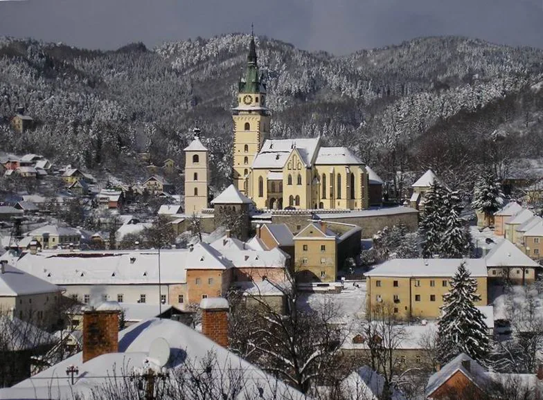
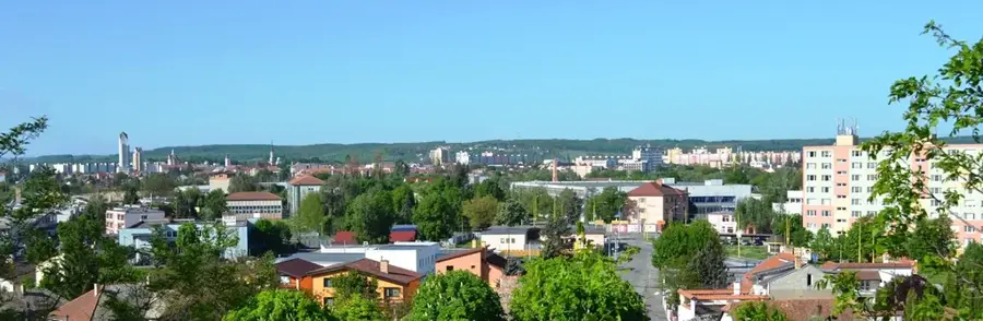
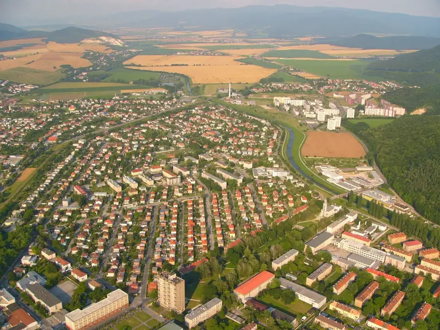
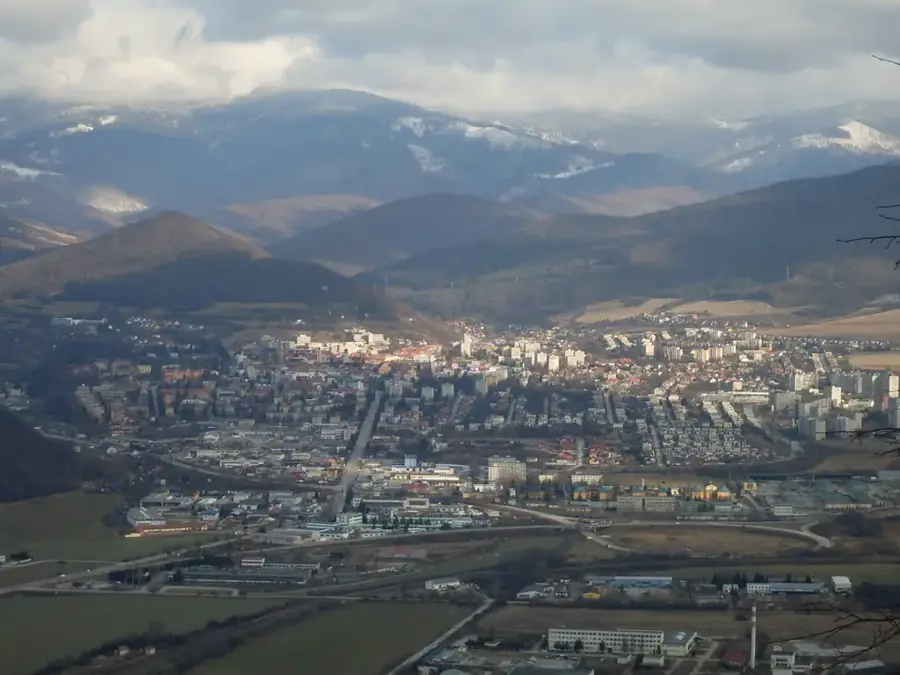
The South Slovak Basin (Juhoslovenská kotlina) is a major geomorphological depression in southern Slovakia, stretching along the border with Hungary. It is subdivided into three main sections: the Ipeľ, Lučenec, and Rimava basins. The relief is predominantly flat to undulating, shaped by sedimentary deposits from the Ipeľ, Rimava, and Slaná rivers over millions of years. Climatically, the basin is among the warmest and driest regions in Slovakia, making it a crucial agricultural hub. The fertile soils support large-scale cultivation of wheat, maize, and tobacco, while viticulture remains a significant traditional activity. Historically, the region has been a lively settlement area with a rich multicultural heritage, where Slovak and Hungarian cultural influences have intersected for centuries. The basin is framed by the forested slopes of the Slovak Ore Mountains and volcanic uplands, creating a diverse landscape. Natural highlights include numerous mineral springs and thermal waters, utilized in spa towns like Dudince. Its open plains have historically facilitated the development of major transportation routes and industrial centers.
- Location: Slovakia
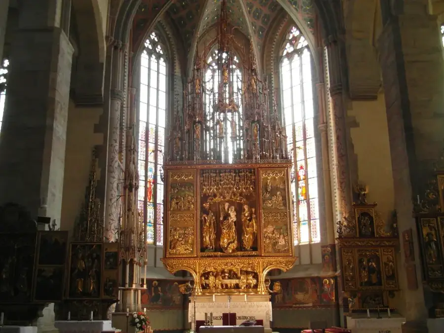
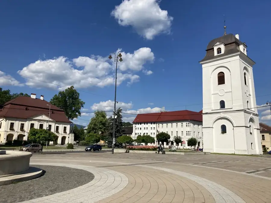
- Top sights: Evanjelický kostol a. v. · Mestské múzeum Lučenec · Kalvínsky kostol
- Nearby: Fiľakovo (14 km)
Best time to visit & climate
The most pleasant time to visit is Jun–Aug.
| Jan | Feb | Mar | Apr | May | Jun | Jul | Aug | Sep | Oct | Nov | Dec | |
|---|---|---|---|---|---|---|---|---|---|---|---|---|
| Avg °C | -4 | -3 | 2 | 8 | 13 | 17 | 19 | 19 | 14 | 8 | 3 | -3 |
| Rain mm | 54 | 51 | 52 | 48 | 83 | 87 | 91 | 75 | 64 | 62 | 59 | 55 |
📋 Practical info
Geography
Facts
- The lowest points of the basin sit at roughly 130 meters above sea level.
- The basin covers an area of approximately 1,200 square kilometers.
- Key rivers draining the area include the Ipeľ, Rimava, and Slaná.
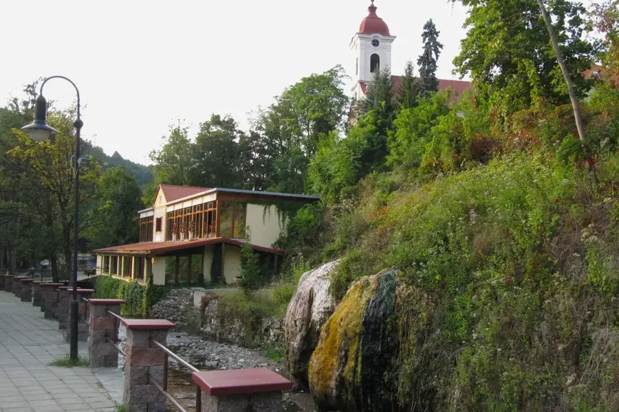
- Dudince features rare springs containing both carbon dioxide and hydrogen sulfide.
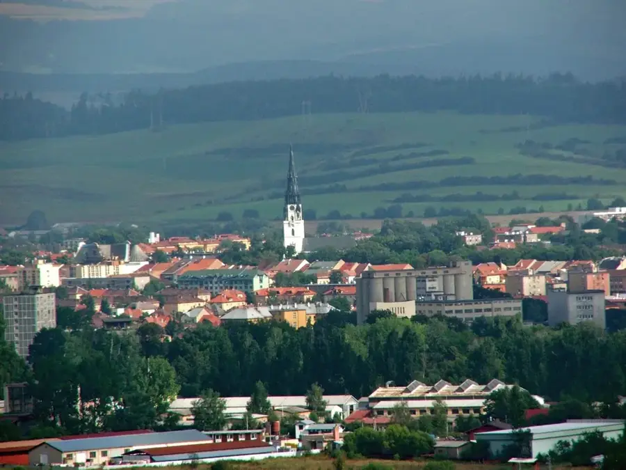
- Lučenec serves as the administrative and economic heart of the basin.
- The geology is characterized by Neogene sedimentary layers of sand and clay.
Explore nearby
Notable places around
Route planner — Car & Motorhome
Where do you start? We build the route here, with stops and country notes along the way.
© OpenStreetMap contributors · OpenRouteService
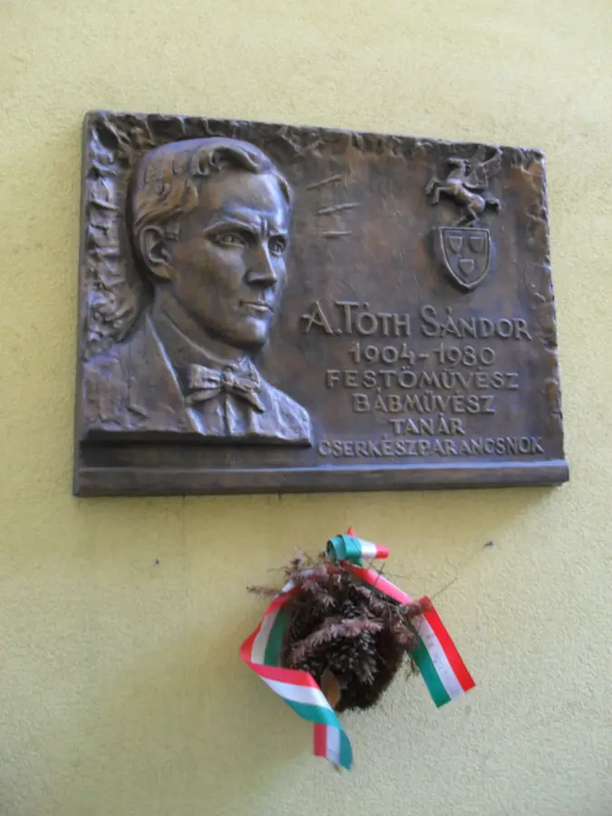
Sights in the town Juhoslovenská kotlina (9)
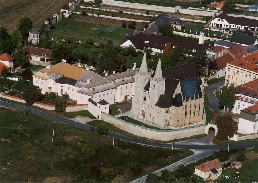
Kostol Navštívenia Panny Márie
The Church of the Visitation of the Virgin Mary is a church in the area.
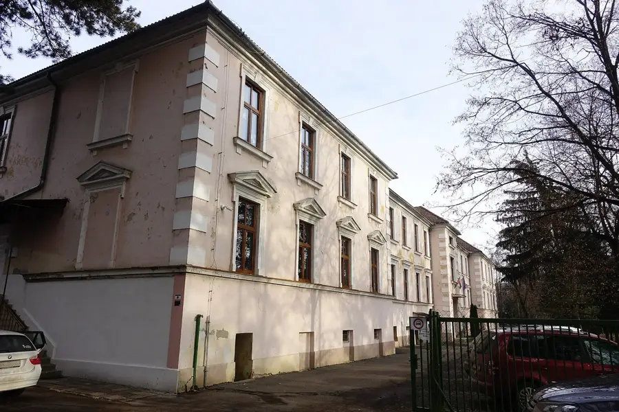
Szillasyho kaštieľ
Szillasy Manor is a historic building in the region.
Malovesský kaštieľ
Malovesský Manor is a historic estate.
Kaštieľ Prónayovcov
Prónay Manor is a historic building.
Miraj Resort
Miraj Resort is a water park with slides and pools.
Sights nearby
Frequently asked questions
What is the South Slovak Basin?
What is the climate like in this region?
What cities are located in the basin?
Are there thermal springs?
What natural attractions can be found here?
Juhoslovenská kotlina: where is it located?
Juhoslovenská kotlina: what is there to see?
Juhoslovenská kotlina: when is the best time to visit?
Juhoslovenská kotlina: why is it worth visiting?

Nearby cities


History & landmarks