Plizio Visual Lab
Cerová Highlands
Weather…
Water temperature…
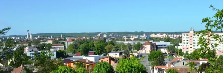
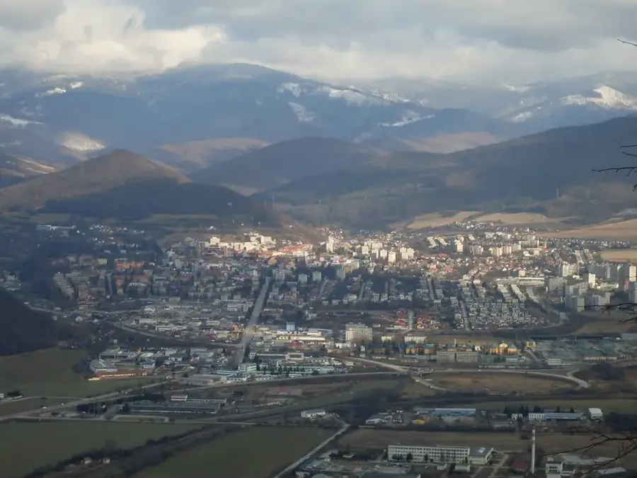
The Cerová Highlands, located in southern Slovakia along the Hungarian border, constitute a unique geological landscape shaped by recent volcanic activity. The range showcases the youngest volcanic processes in Slovakia, which concluded about two million years ago, leaving behind a series of basalt peaks, neck formations, and lava plateaus. The highest point is Karanč (Karancs), standing at 729 meters and situated directly on the international border. One of the most spectacular natural features is the 'Stone Waterfall' at Šomoška Castle, a rare formation of curved hexagonal basalt columns that is considered a global geological rarity. Due to its warm climate, the region hosts a rich variety of Pannonian flora and fauna, including many rare insect and orchid species. Since 1989, the area has been protected as the Cerová vrchovina Protected Landscape Area, preserving its exceptional geological monuments and diverse ecosystems.
- Location: Slovakia
- Top sights: Monosa · Soví vrch · Rakvica
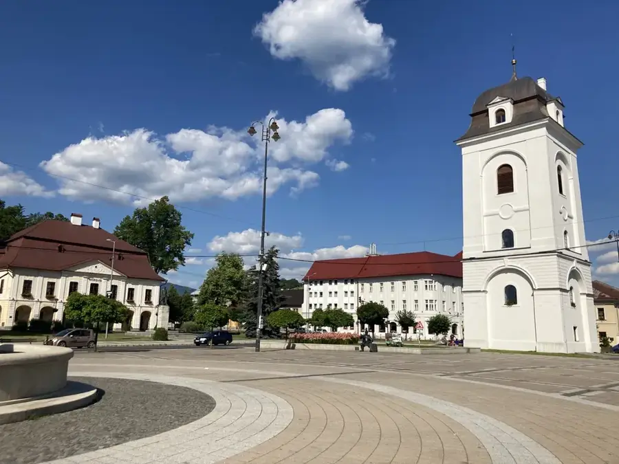
- Nearby: Fiľakovo (8 km)
Best time to visit & climate
The most pleasant time to visit is Jun–Aug.
| Jan | Feb | Mar | Apr | May | Jun | Jul | Aug | Sep | Oct | Nov | Dec | |
|---|---|---|---|---|---|---|---|---|---|---|---|---|
| Avg °C | -3 | -1 | 4 | 11 | 16 | 19 | 22 | 21 | 16 | 10 | 4 | -1 |
| Rain mm | 41 | 44 | 44 | 43 | 75 | 80 | 83 | 67 | 58 | 56 | 49 | 47 |
📋 Practical info
Geography
Facts
- The highest peak is Karanč, reaching 729 meters.
- It is home to the youngest extinct volcanoes in Slovakia.
- The Šomoška stone waterfall is a world-renowned basalt formation.
- The Protected Landscape Area was established in 1989.
- The region features unique Pannonian steppe vegetation.
- It borders the Karancs-Medves Protected Area in Hungary.
Explore nearby
Notable places around
Route planner — Car & Motorhome
Where do you start? We build the route here, with stops and country notes along the way.
© OpenStreetMap contributors · OpenRouteService
Sights in the town Cerová Highlands (4)
Rakvica
Rakvica is a mountain in Slovakia.
Sights nearby
Frequently asked questions
What geological specialty can be found here?
Where is the Cerová Highlands located?
What is the highest peak?
Are there educational trails for tourists?
When is a visit most worthwhile?
Cerová Highlands: where is it located?
Cerová Highlands: what is there to see?
Cerová Highlands: when is the best time to visit?
Cerová Highlands: why is it worth visiting?

Nearby cities


History & landmarks