Plizio Visual Lab
Mont Pot-à-Eau

Weather…
Water temperature…
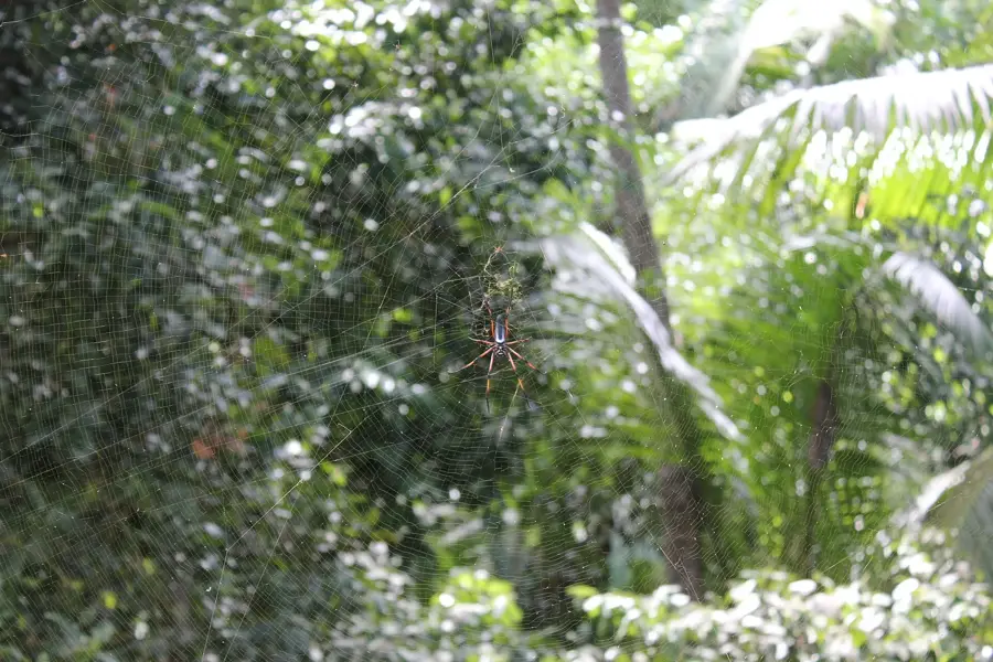
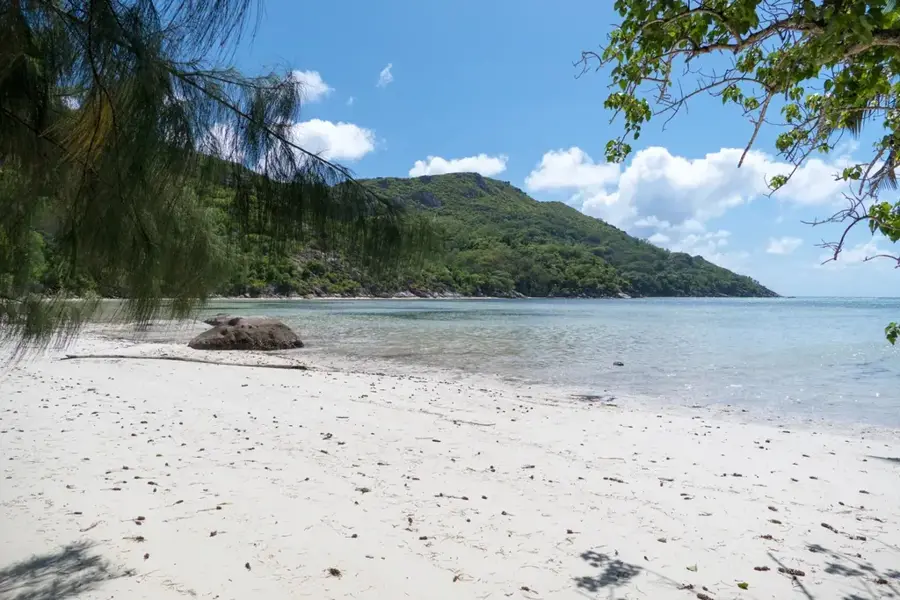
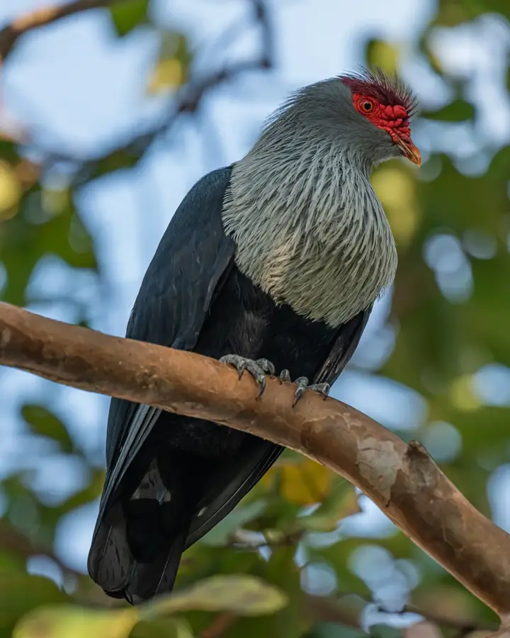
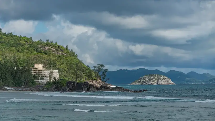
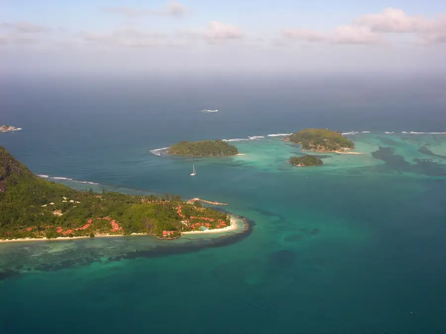
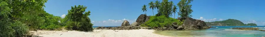
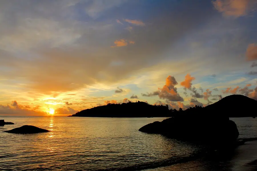
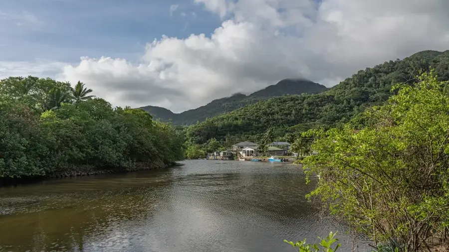
Mont Pot-à-Eau is a prominent granitic peak situated within the central massif of Mahé island in the Seychelles, specifically inside the Morne Seychellois National Park. Rising to an elevation of approximately 620 meters above sea level, it represents one of the significant heights on the island. Its name, French for 'Water Pot Mountain,' likely refers to the high precipitation and the mist-capturing capabilities of its dense vegetation. The mountain is ecologically significant as a primary habitat for the endemic Seychelles pitcher plant (Nepenthes pervillei), which thrives in the nutrient-poor, acidic soils of the granite summits. Historically, the surrounding forests were utilized for timber during the colonial era, but the area is now strictly protected to preserve its unique biodiversity. The slopes are covered in thick primary forest, including rare species like the Jellyfish tree and various endemic palms. It serves as a vital watershed and a site for long-term ecological research into the archipelago's montane flora.
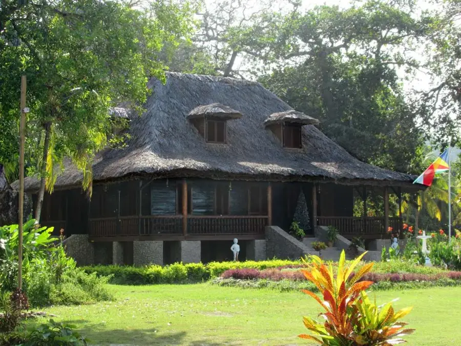
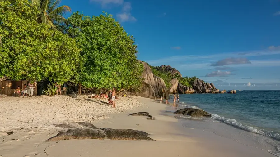
- Location: Seychelles
- Top sights: Anse Cipailles · Tortoise sanctuary · Anse La Passe
- Nearby: Baie Ternay (19 km)
Best time to visit & climate
The most pleasant time to visit is Jun–Aug.
| Jan | Feb | Mar | Apr | May | Jun | Jul | Aug | Sep | Oct | Nov | Dec | |
|---|---|---|---|---|---|---|---|---|---|---|---|---|
| Avg °C | 27 | 28 | 28 | 29 | 28 | 27 | 26 | 26 | 27 | 27 | 27 | 27 |
| Rain mm | 215 | 103 | 103 | 108 | 96 | 70 | 52 | 51 | 93 | 107 | 123 | 174 |
📋 Practical info
Geography
Facts
- The peak reaches an elevation of approximately 620 meters.
- It is a key habitat for the endemic pitcher plant Nepenthes pervillei.
- The mountain is located within the Morne Seychellois National Park.
- The geology consists of granite dating back roughly 750 million years.
- The name translates to 'Water Pot Mountain' due to high humidity.
- It serves as a critical watershed area for the island of Mahé.
Explore nearby
Notable places around
Route planner — Car & Motorhome
Where do you start? We build the route here, with stops and country notes along the way.
© OpenStreetMap contributors · OpenRouteService
Sights in the town Mont Pot-à-Eau (8)
jardin marron
Wild garden on the hill with native plants and herbs.
Belle Vue
Viewpoint with panoramic view over the bay and sea.
Pointe Varreur
Headland with a view of the coast and islands.
Anse cimetiére
Beach near a cemetery, quiet and little visited.
Pointe Ramasse Tout
Rocky peninsula, good for watching waves and birds.
Sights nearby
Frequently asked questions
Is the hike suitable for beginners?
What is special about Mont Pot-à-Eau?
What are the weather conditions?
Do I need a hiking guide?
Is there a shelter there?
Mont Pot-à-Eau: where is it located?
Mont Pot-à-Eau: what is there to see?
Mont Pot-à-Eau: when is the best time to visit?
Mont Pot-à-Eau: why is it worth visiting?

Nearby cities


History & landmarks
Nature
More places