Plizio Visual Lab
Machabee
ℹ️Practical info — Machabee
▾
🌤 Weather — 5 days
📍 Nearby
Sights nearby
💡 Tips
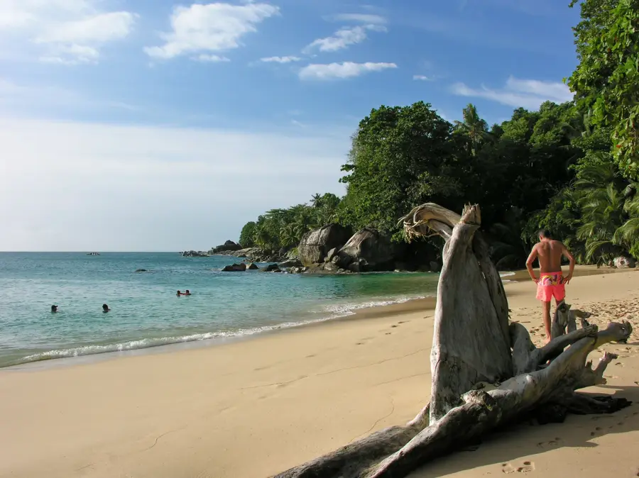
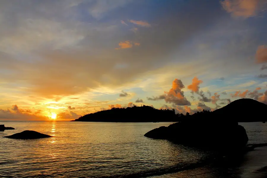
- Stay for the sunset; this is one of the prime locations on the northern coast for evening views.
- At low tide, look for small sandy pockets between the granite rocks for a private dip.
- Avoid swimming during rough seas as the coastline is rocky and very exposed to the elements.
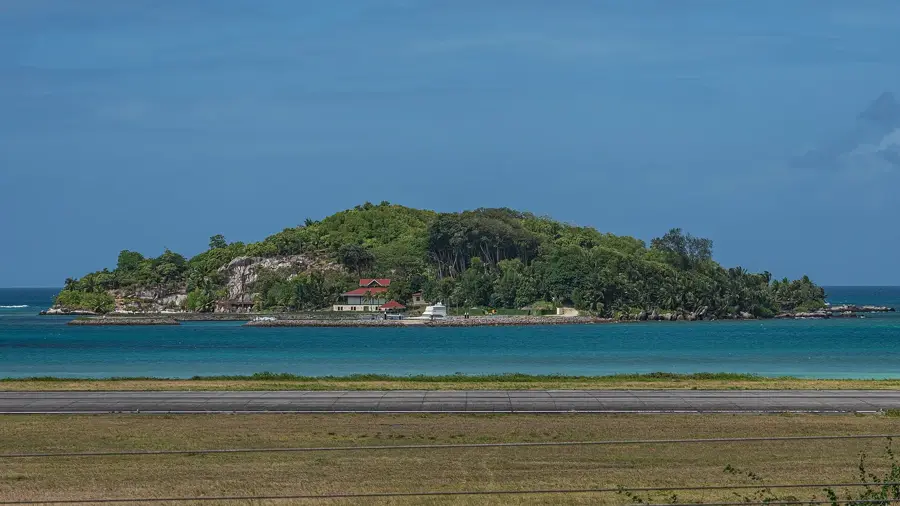
- Walk along the coastal road to enjoy panoramic views across the water to Silhouette Island.
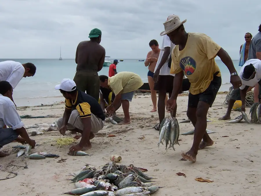
- Keep an eye out for local fishermen selling their catch of the day directly by the roadside.
🍽 Food
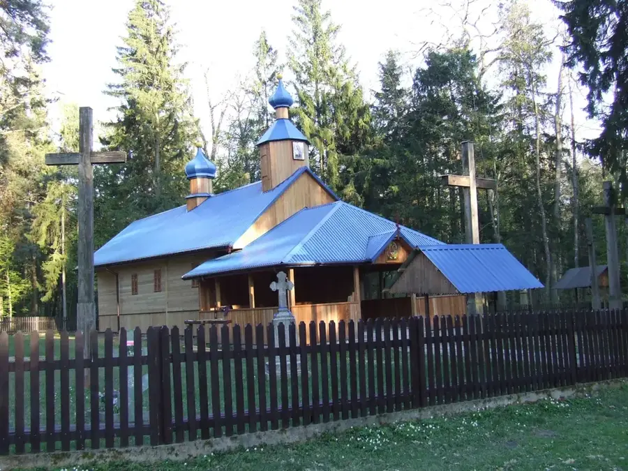
Look for small shops near the church area serving excellent local curry and rice.
Buy fruit from the small wooden tables set up in front of local residents' houses.
Try these fried chili lentil balls, a popular snack found in the village grocery stores.
🛍 Shopping · 🧘 Quiet spots
Small grocery shops here are great for discovering local sodas and unique snacks.
In the late afternoon, fishermen often sell their fresh catch directly on the coastal road.
A prominent rocky outcrop that provides peace and a vast view over the Indian Ocean.
Tiny inlets between the granite boulders are often completely deserted.
Water temperature…
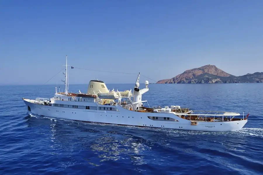
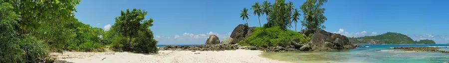
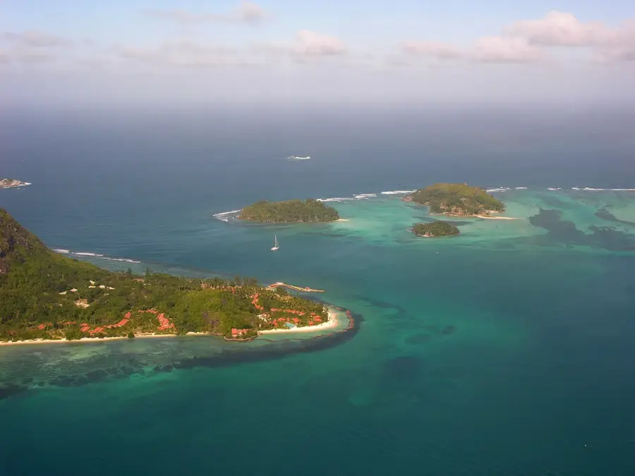
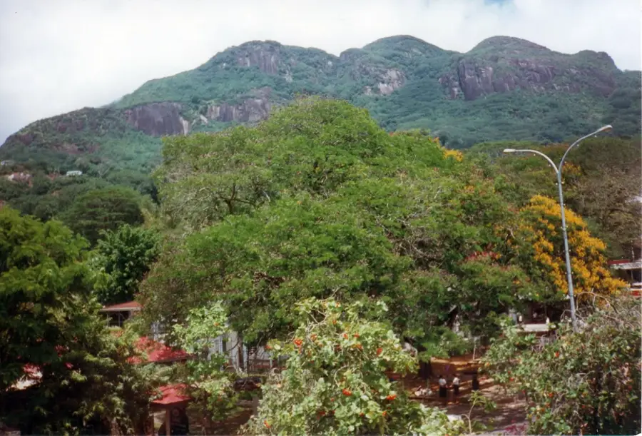
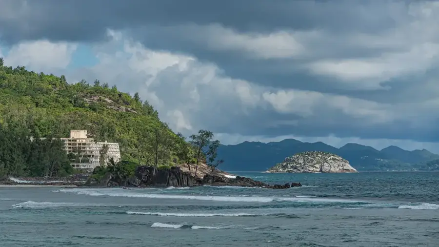
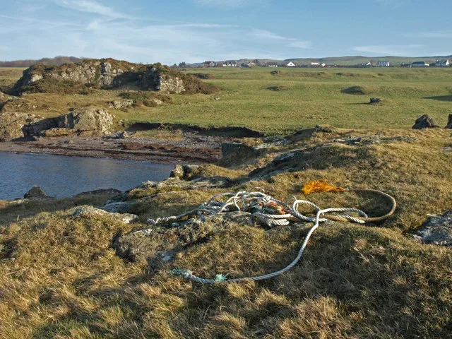
Machabée lies on the northern coast of Mahé and is among the less developed districts on the main island. The unusual name probably derives from a creolized form of Maccabean, alluding to an early French Huguenot family that settled here. The coastline is rocky and rugged, with large granite headlands and small secluded coves accessible only via narrow paths. This geographical characteristic has kept building activity limited and the natural environment largely intact. The village's economy continues to rely heavily on small-scale fishing and subsistence agriculture with banana and breadfruit trees. Just offshore lie the dive sites of the North Reef, where reef sharks, manta rays, and turtles can be encountered. Machabée is also geologically interesting, as rare granite structures with striking pink veins of pegmatite are visible here. Behind the district stretch wooded hills hiding ancient palm groves at higher elevations.
- Location: Seychelles
- Top sights: Rock Pool · Machabee Public Beach · Carana Public Beach
- Nearby: Bel Air (4 km)
- Population: ~4.496 (2025)
Best time to visit & climate
The most pleasant time to visit is Jun–Aug.
| Jan | Feb | Mar | Apr | May | Jun | Jul | Aug | Sep | Oct | Nov | Dec | |
|---|---|---|---|---|---|---|---|---|---|---|---|---|
| Avg °C | 27 | 28 | 28 | 29 | 28 | 27 | 26 | 26 | 27 | 27 | 27 | 27 |
| Rain mm | 207 | 109 | 106 | 115 | 94 | 80 | 55 | 62 | 108 | 117 | 124 | 164 |
Geography
Facts
- Machabee is one of the northernmost inhabited places on the main island of Mahé.
- There are several small 'secret beaches' in the region accessible only at low tide.
- The name Machabee likely originates from a local plant species or a family name.
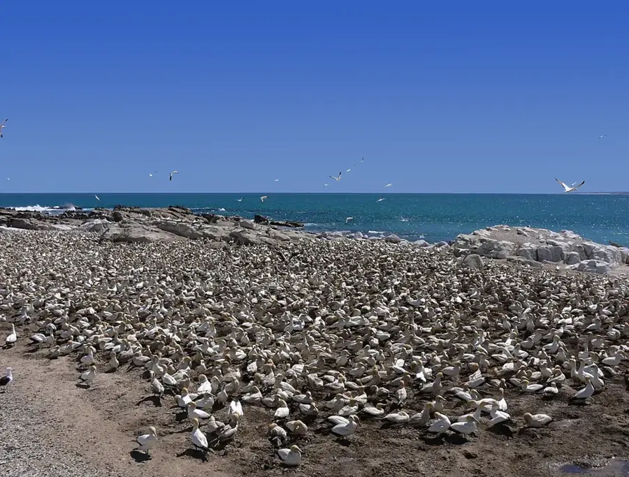
- The waters around Machabee are rich in fish and popular with local anglers.
- North East Point Hospital is located in the immediate vicinity of Machabee.
- The coast here is particularly vulnerable to the force of the North Monsoon.
Explore nearby
Notable places around
Route planner — Car & Motorhome
Where do you start? We build the route here, with stops and country notes along the way.
© OpenStreetMap contributors · OpenRouteService
Sights in the town Machabee (4)
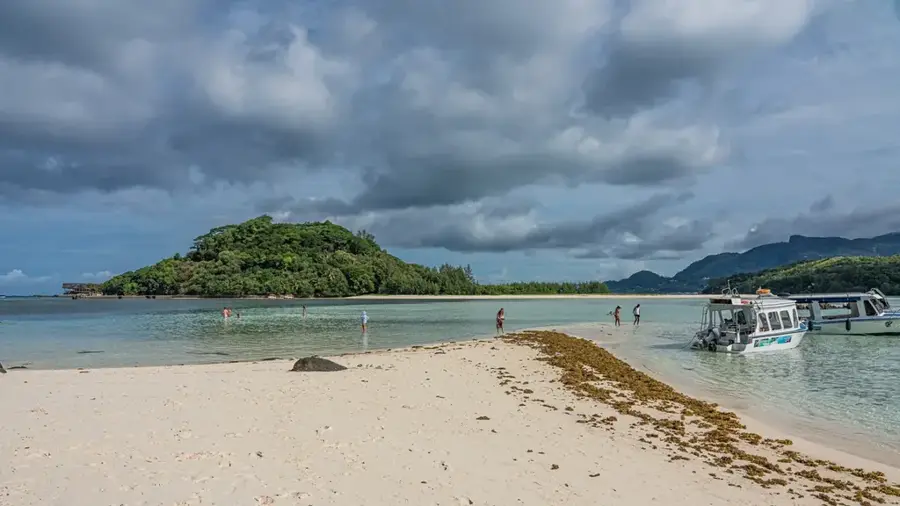
Anse L'Ilot
Anse L'Ilot is a small sandy beach on Mahé, often surrounded by rocks and greenery.
Frequently asked questions
What is typical for Machabee?
What should one do here?
Is Machabee good for hikers?
When to visit?
Is there gastronomy?
Machabee: where is it located?
Machabee: what is there to see?
Machabee: when is the best time to visit?
Machabee: why is it worth visiting?

Nearby cities

History & landmarks
More places